Tag Archives: commercial real estate drones

How to Get Accurate Stockpile Data With Drones: Aerial Solutions for Smarter Business Decisions


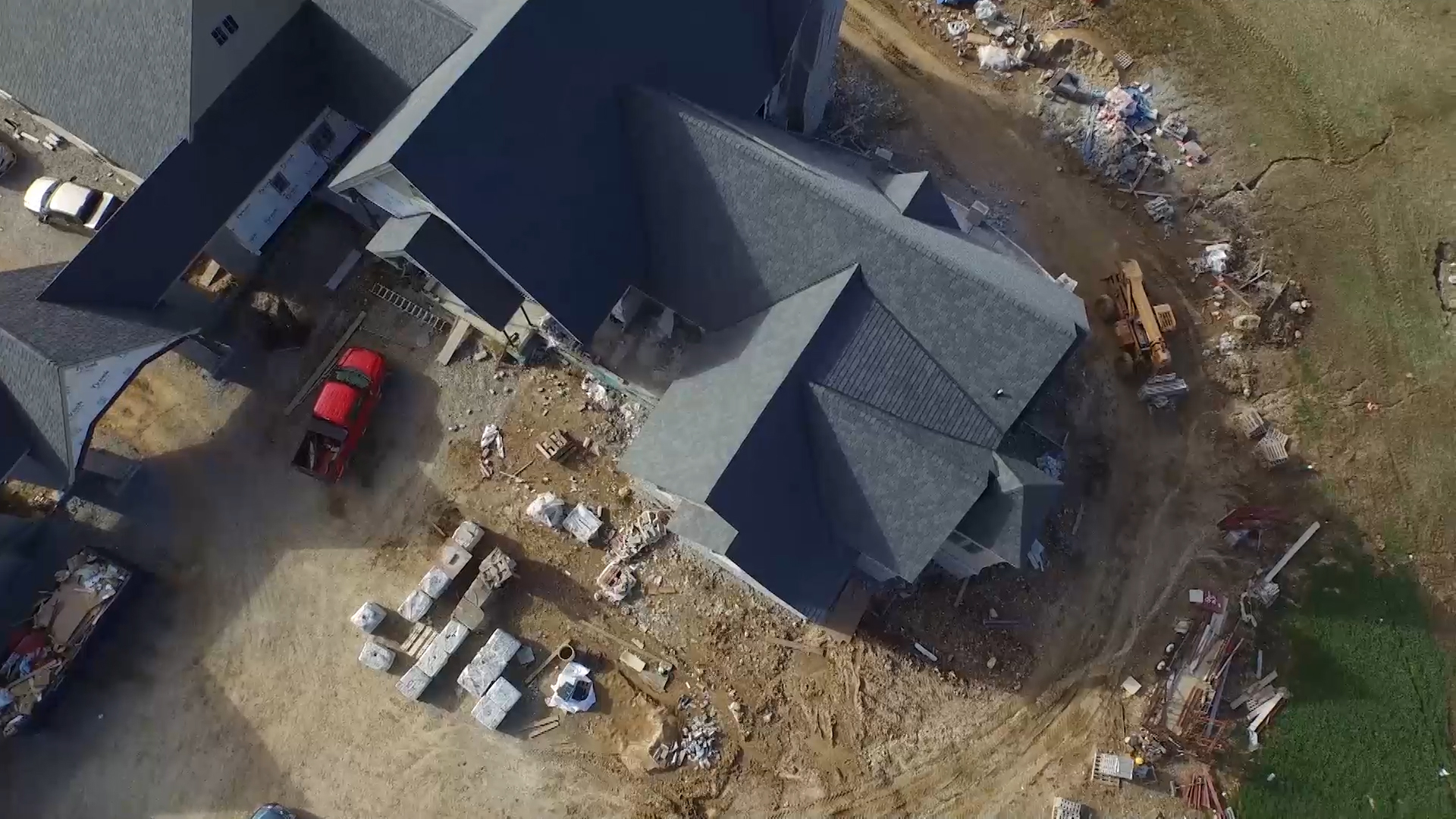
Accurate stockpile measurements are critical to inventory management, resource allocation, and financial reporting for industries such as construction, mining, aggregates, and manufacturing. Yet traditional methods—manual surveys, ground-based laser scans, or walking wheel measurements—are not only time-consuming and expensive, but often yield inconsistent or incomplete data. In today’s market, precision and efficiency are non-negotiable, which is why many companies are turning to drone-based aerial solutions.

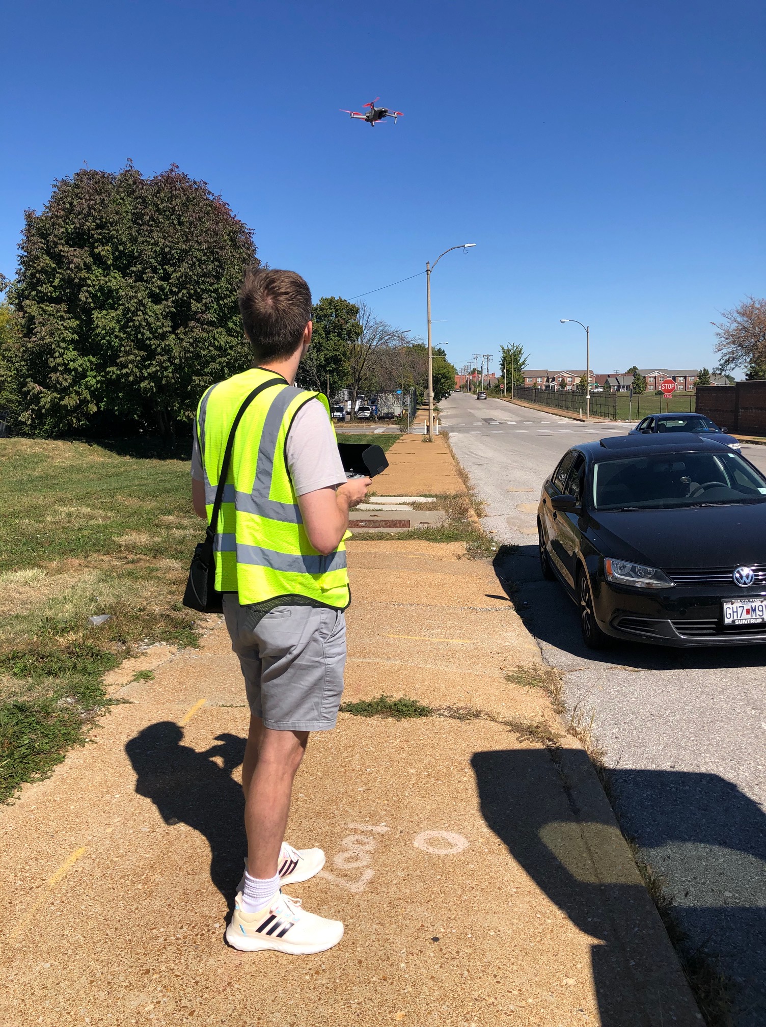
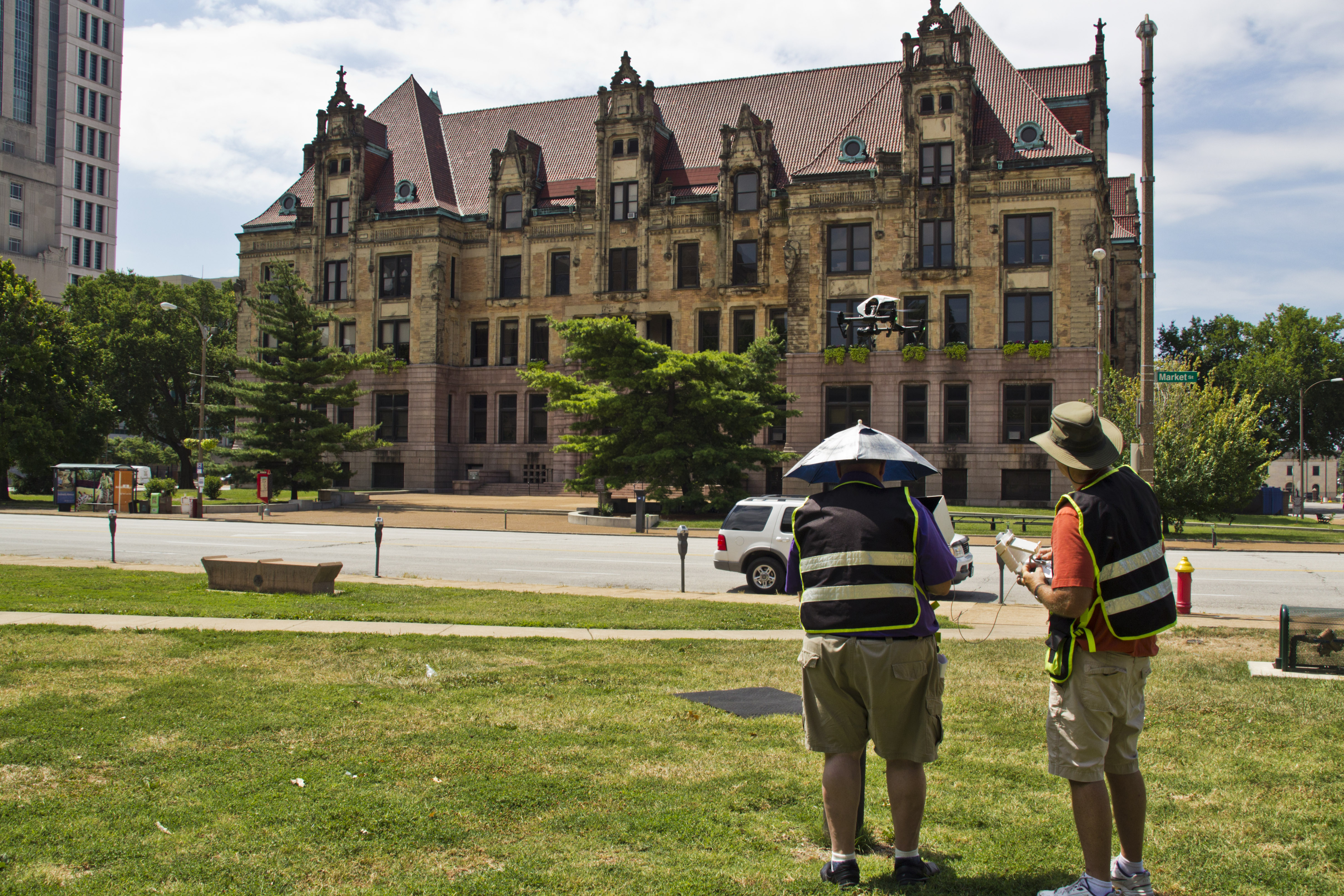
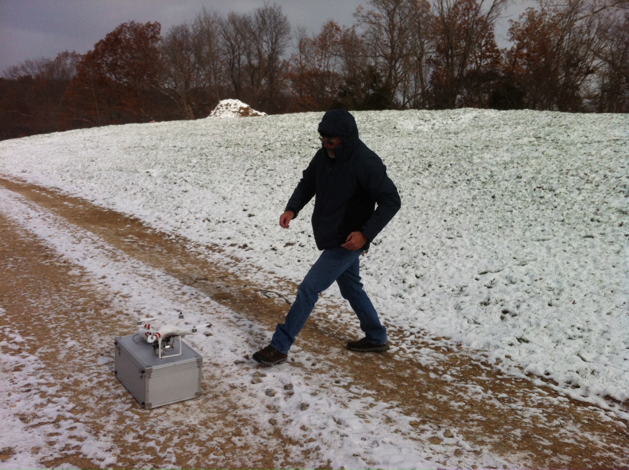
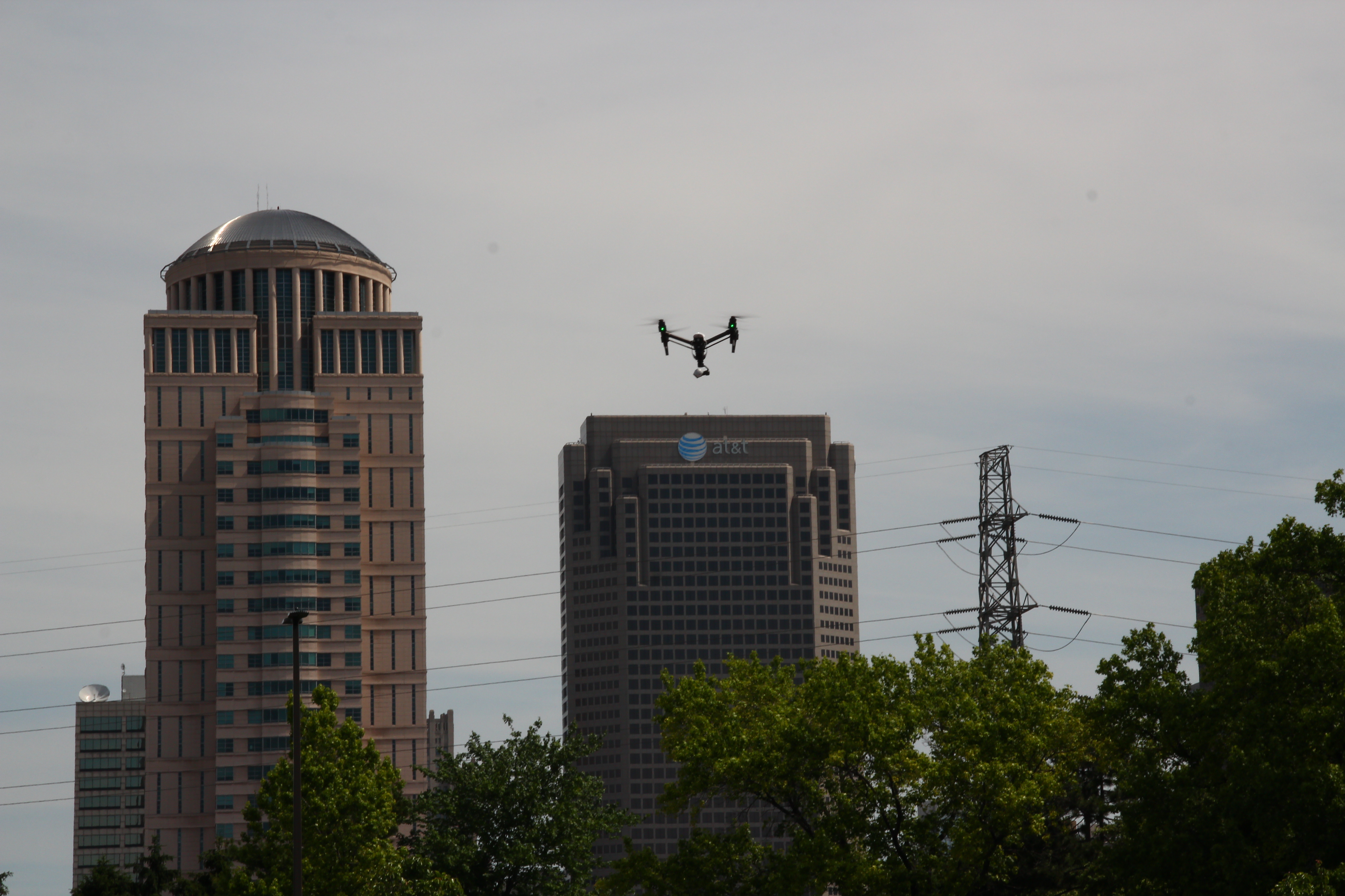
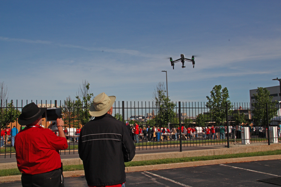
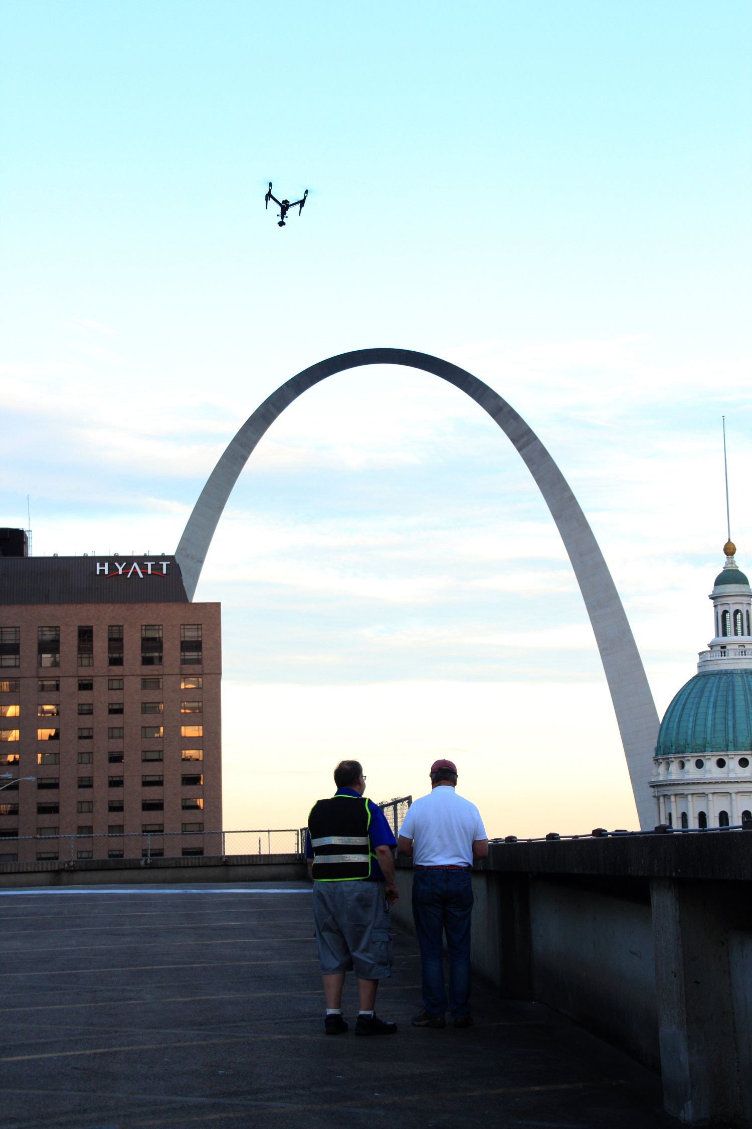
At St Louis Drone Services, we use cutting-edge UAV (Unmanned Aerial Vehicle) technology to provide fast, accurate, and cost-effective stockpile volumetrics—empowering decision-makers with actionable intelligence while minimizing operational disruption.


Why Traditional Stockpile Measurement Falls Short

While tape measures and GPS rovers still have their place, they introduce several limitations:

  • Safety Risks: Climbing unstable piles or walking active work zones can expose crews to harm.
  • Time-Intensive: Ground surveys take hours or even days, especially over large or multiple sites.
  • Limited Access: Dense or irregular pile geometry and site obstructions hinder complete data collection.
  • Inaccuracy: Human error and inconsistent vantage points often result in flawed measurements.

These limitations not only delay reporting but can also lead to costly material discrepancies and logistical setbacks.


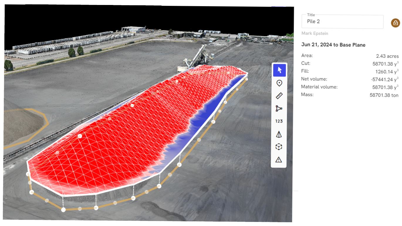
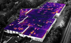
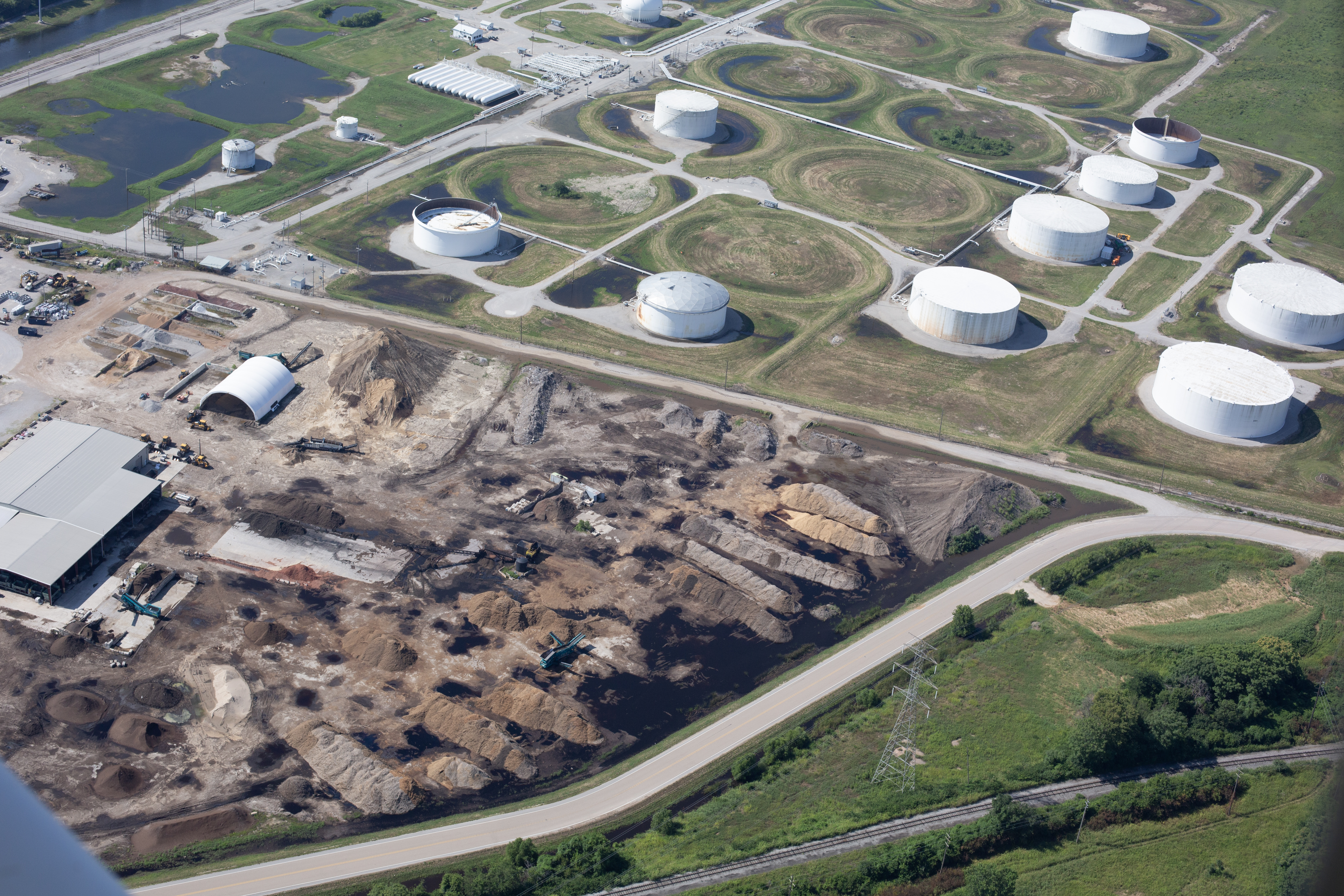
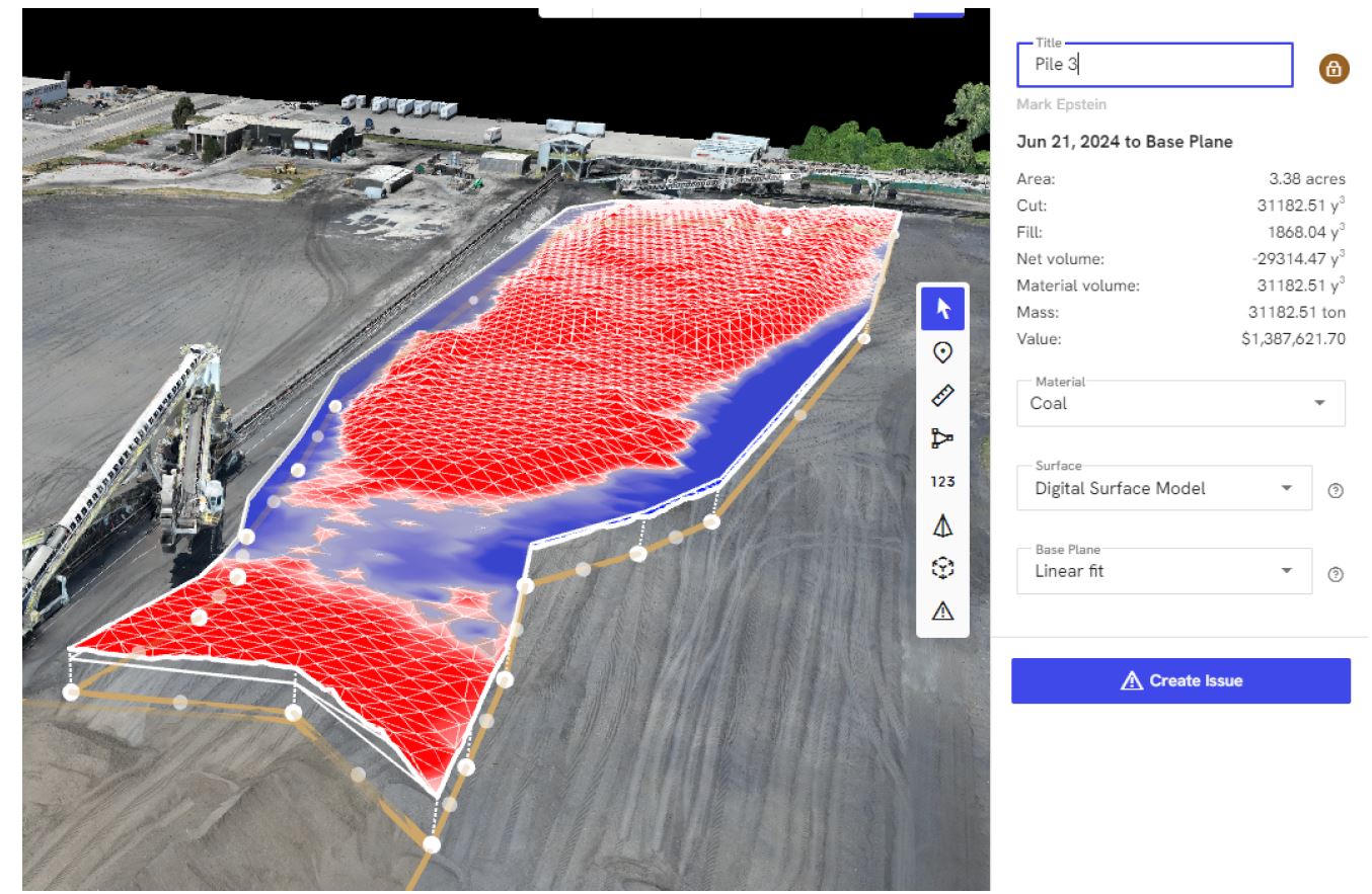
Drone Photogrammetry: How It Works

Using high-resolution aerial imagery and GPS-locked flight plans, drones fly over stockpiles and capture thousands of overlapping images from multiple angles. These images are processed using advanced photogrammetry software to create:

  • 3D point clouds
  • Digital surface models (DSM)
  • Orthomosaic maps
  • Volumetric calculations

Once the data is processed, precise volume calculations can be generated in a fraction of the time traditional surveying requires, often with accuracy margins under 3%.


Benefits of Using Drones for Stockpile Management

1. Increased Accuracy

Aerial data offers a comprehensive top-down view with centimeter-level precision, reducing error and improving confidence in reporting.

2. Faster Turnaround

What used to take days now takes hours. Flights typically last under 30 minutes, with deliverables ready in 24–48 hours depending on project complexity.

3. Improved Safety

Crews stay out of dangerous areas. Everything is captured from the air with zero contact, significantly lowering liability.

4. Cost Efficiency

Drones eliminate the need for expensive ground survey crews or manned aircraft, dramatically reducing labor and overhead.

5. Consistent Historical Tracking

Routine drone surveys allow for easy benchmarking and change detection over time, which is ideal for auditing, forecasting, and operational planning.


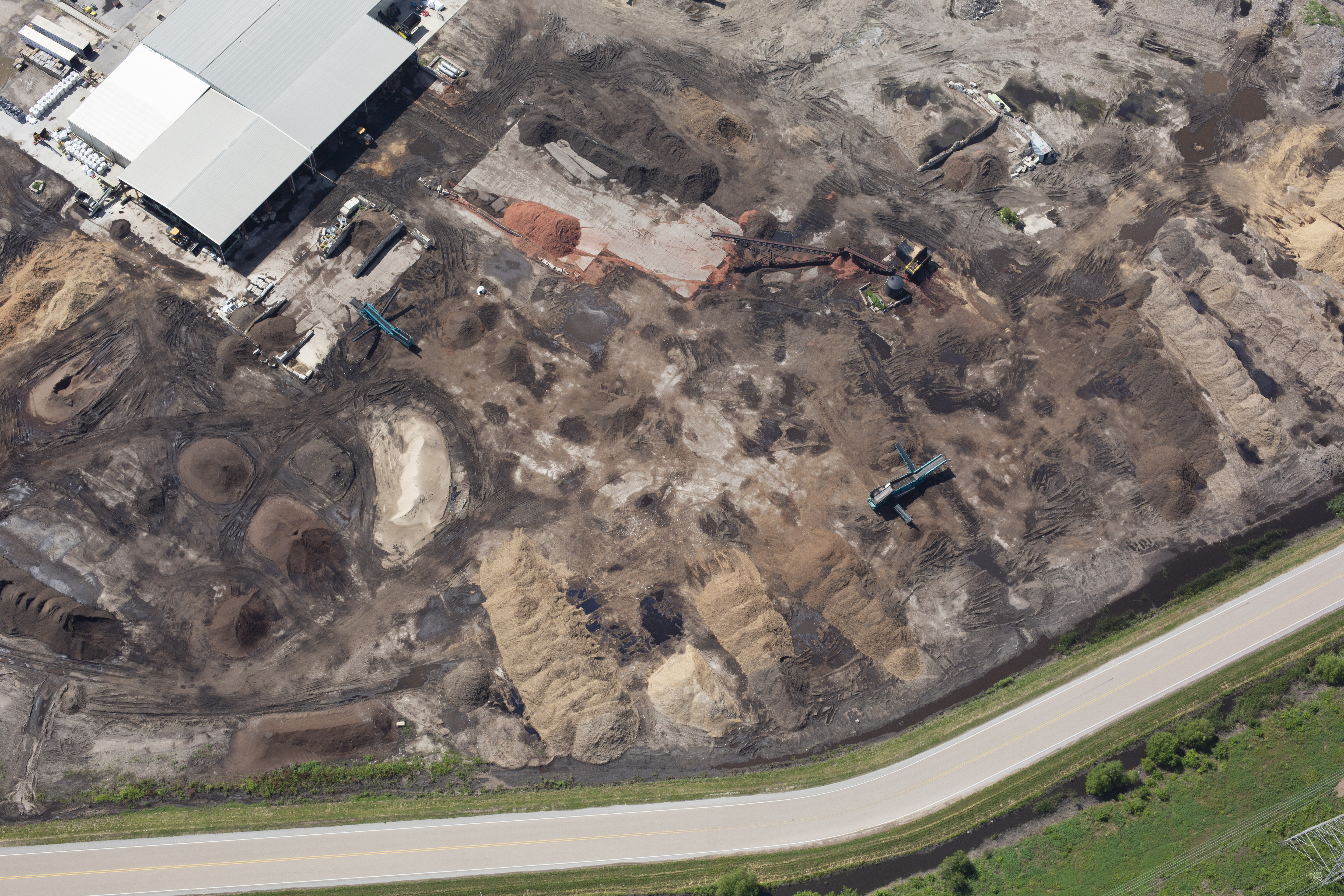
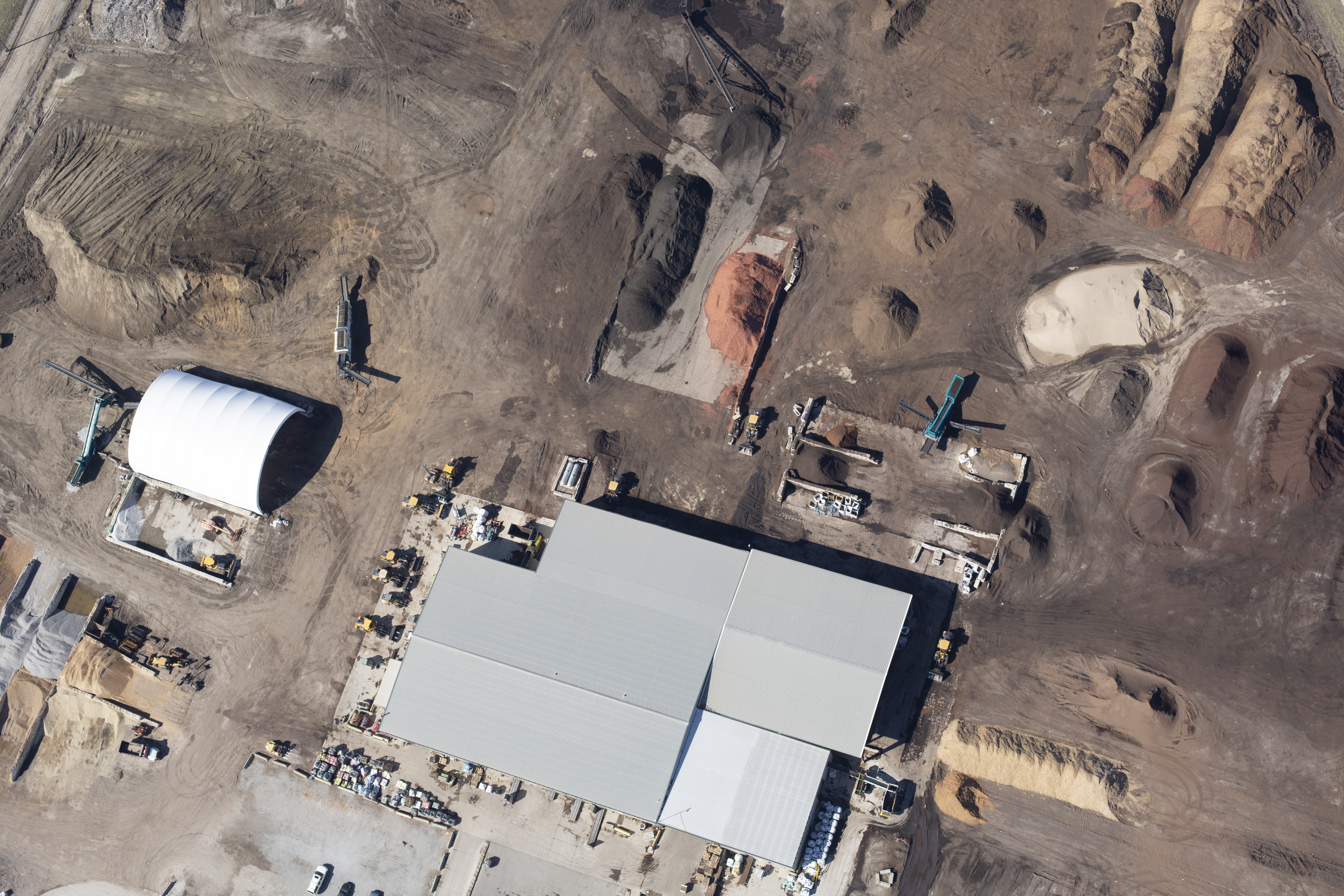
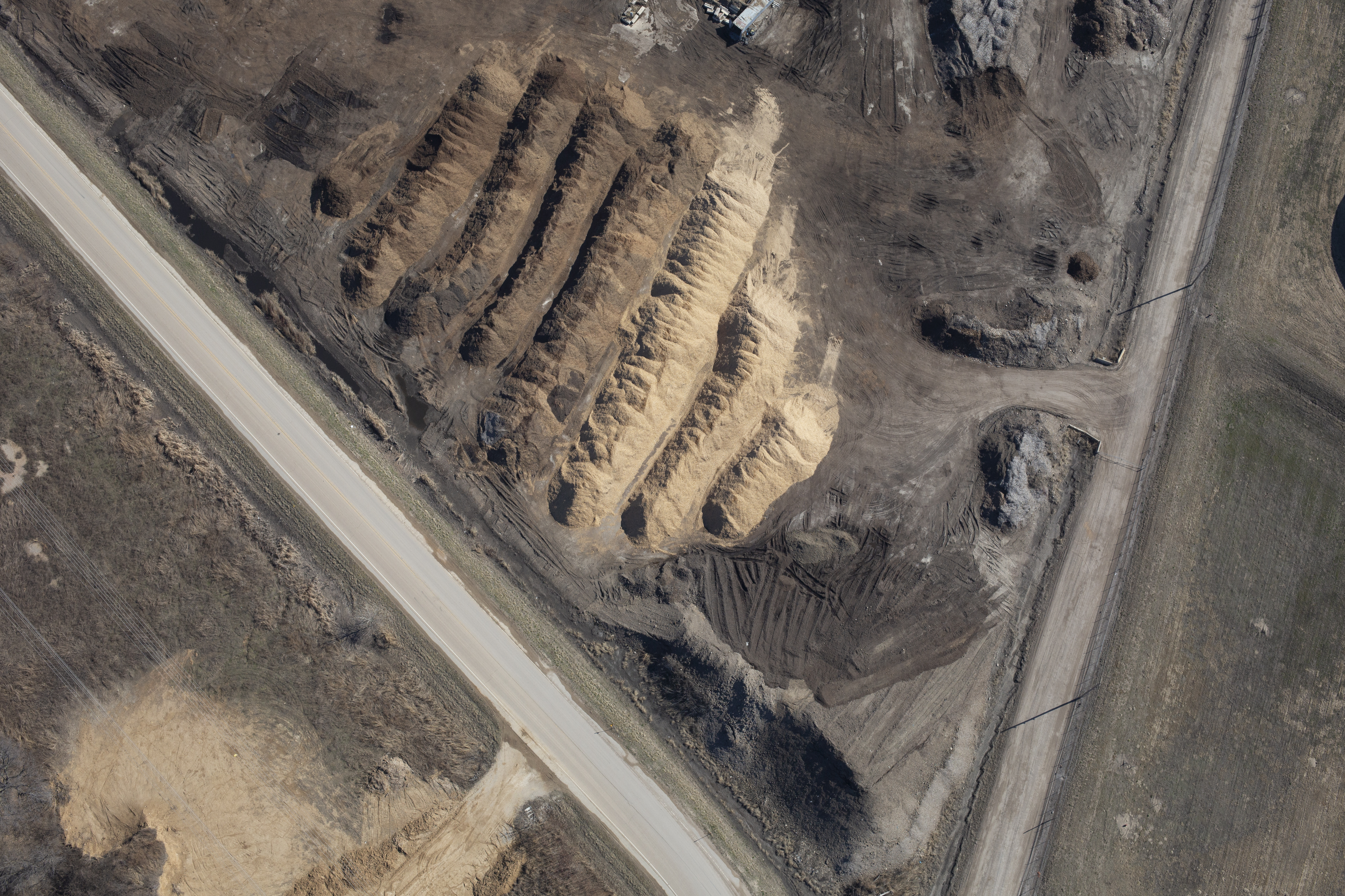
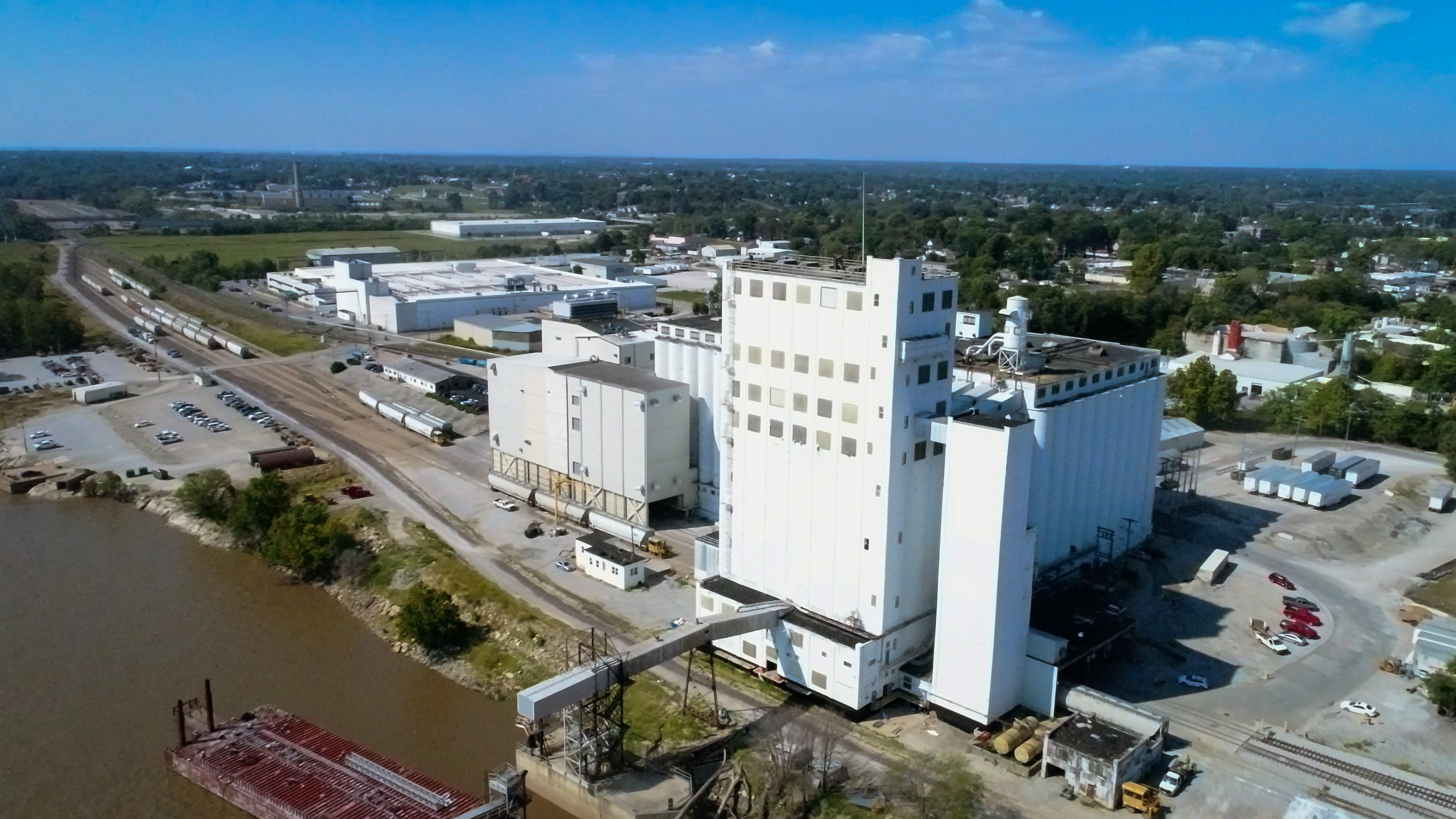
Applications Across Industries

Drone-based stockpile measurements are used in:

  • Construction Sites – Tracking fill, excavation, and material delivery.
  • Quarries & Mines – Inventorying gravel, sand, and raw materials.
  • Landscaping Suppliers – Managing bulk mulch, rock, and soil stockpiles.
  • Waste Management – Monitoring volume growth for landfills or recycling centers.

Whether you’re reporting to stakeholders or planning next steps in a project, having accurate, timely volume data is essential to staying ahead.


How St Louis Drone Services Delivers

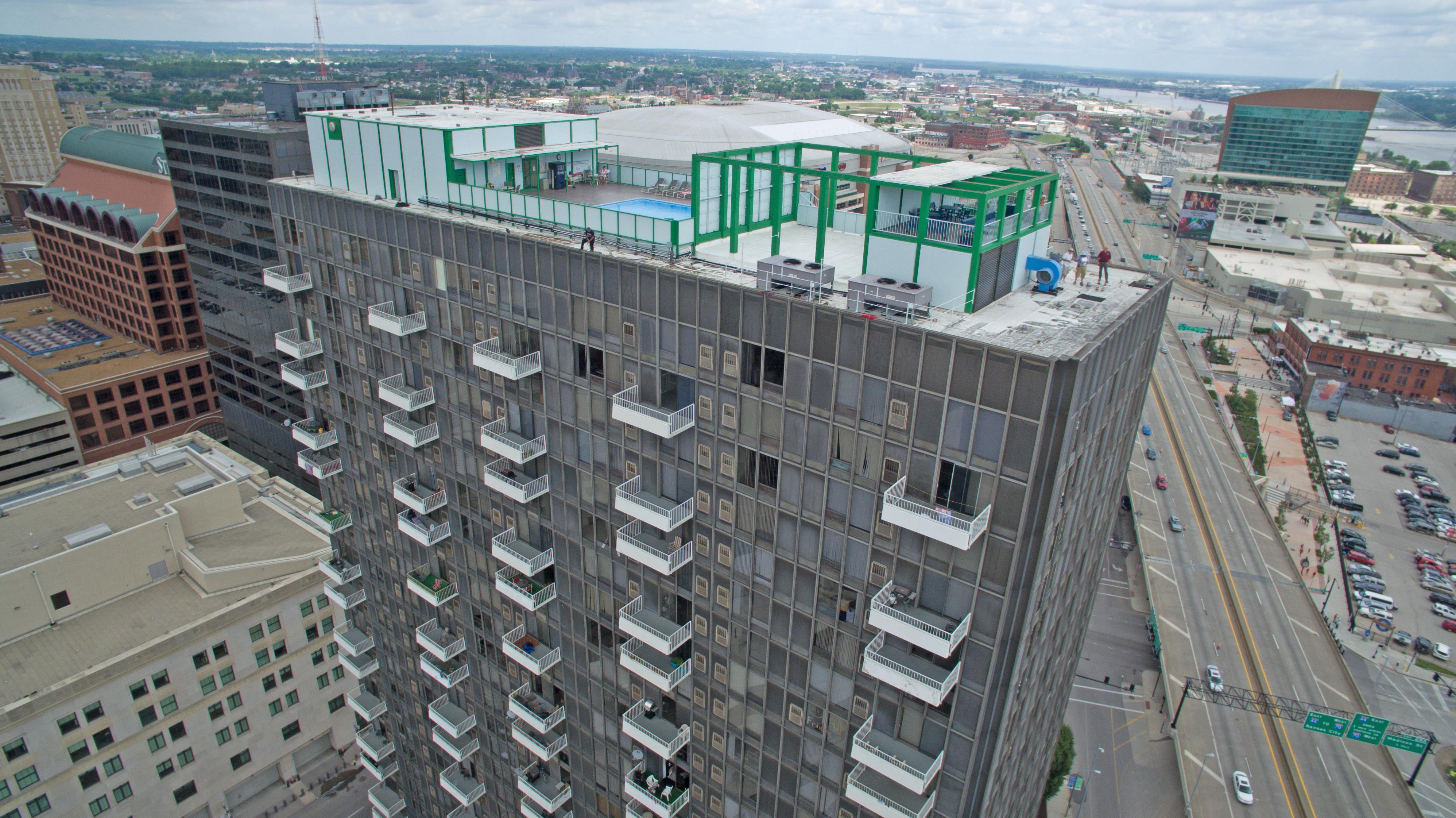
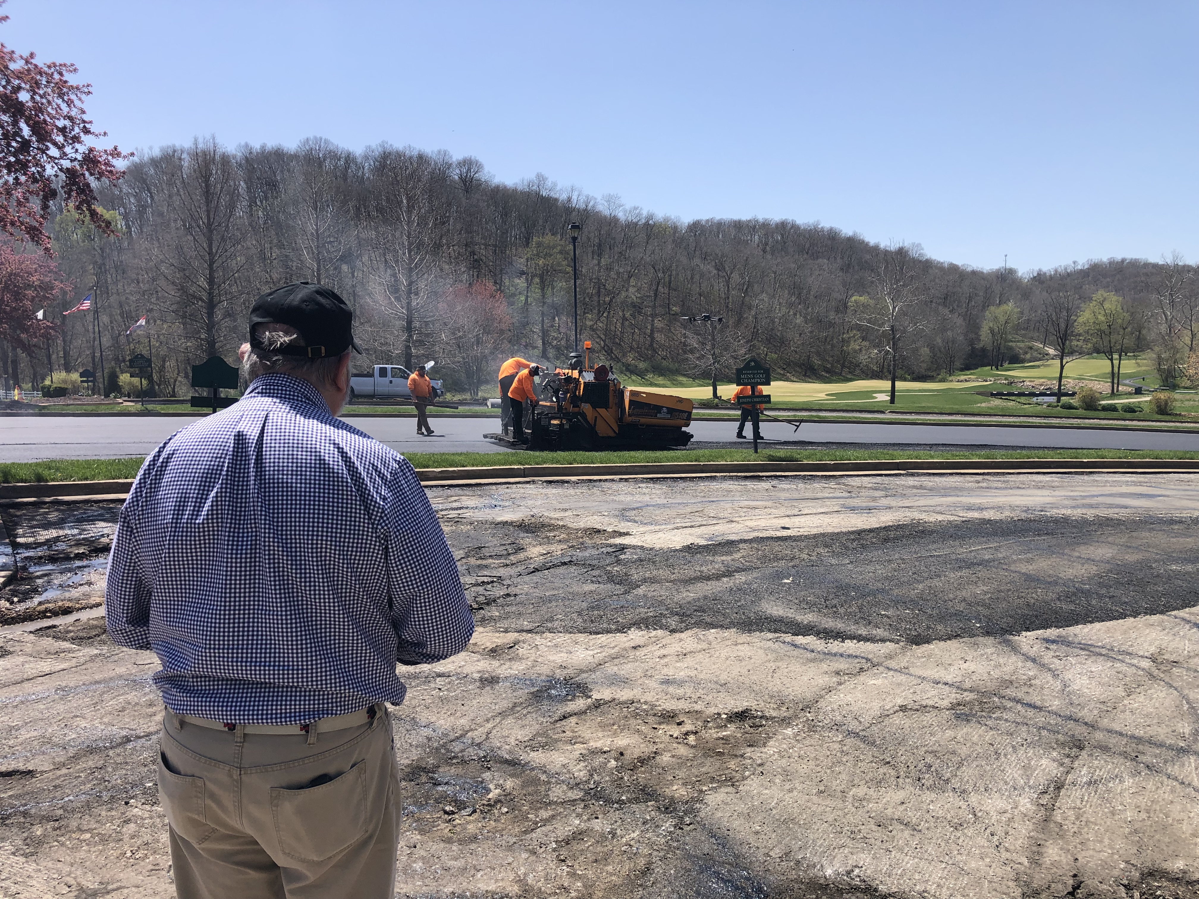
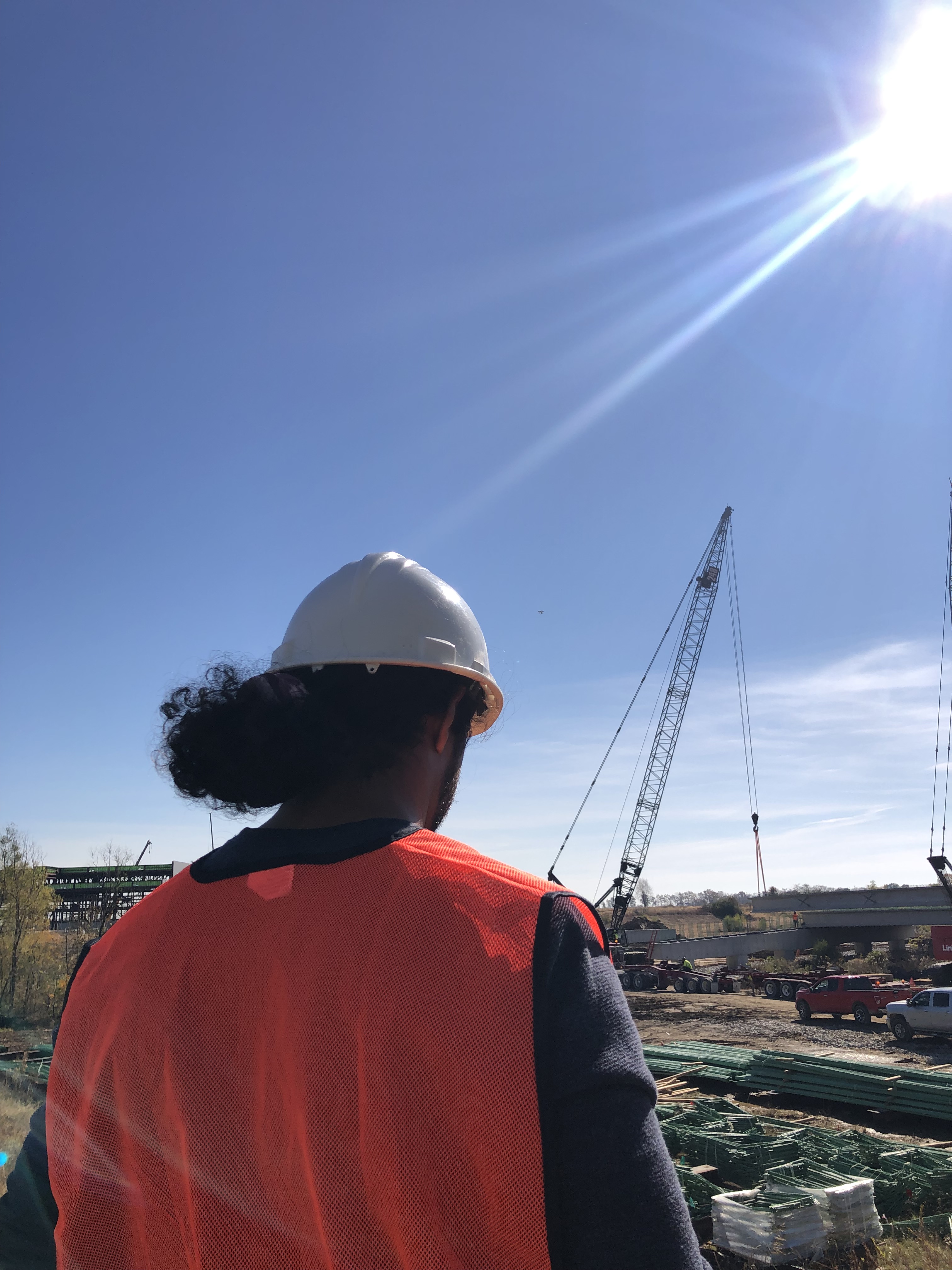
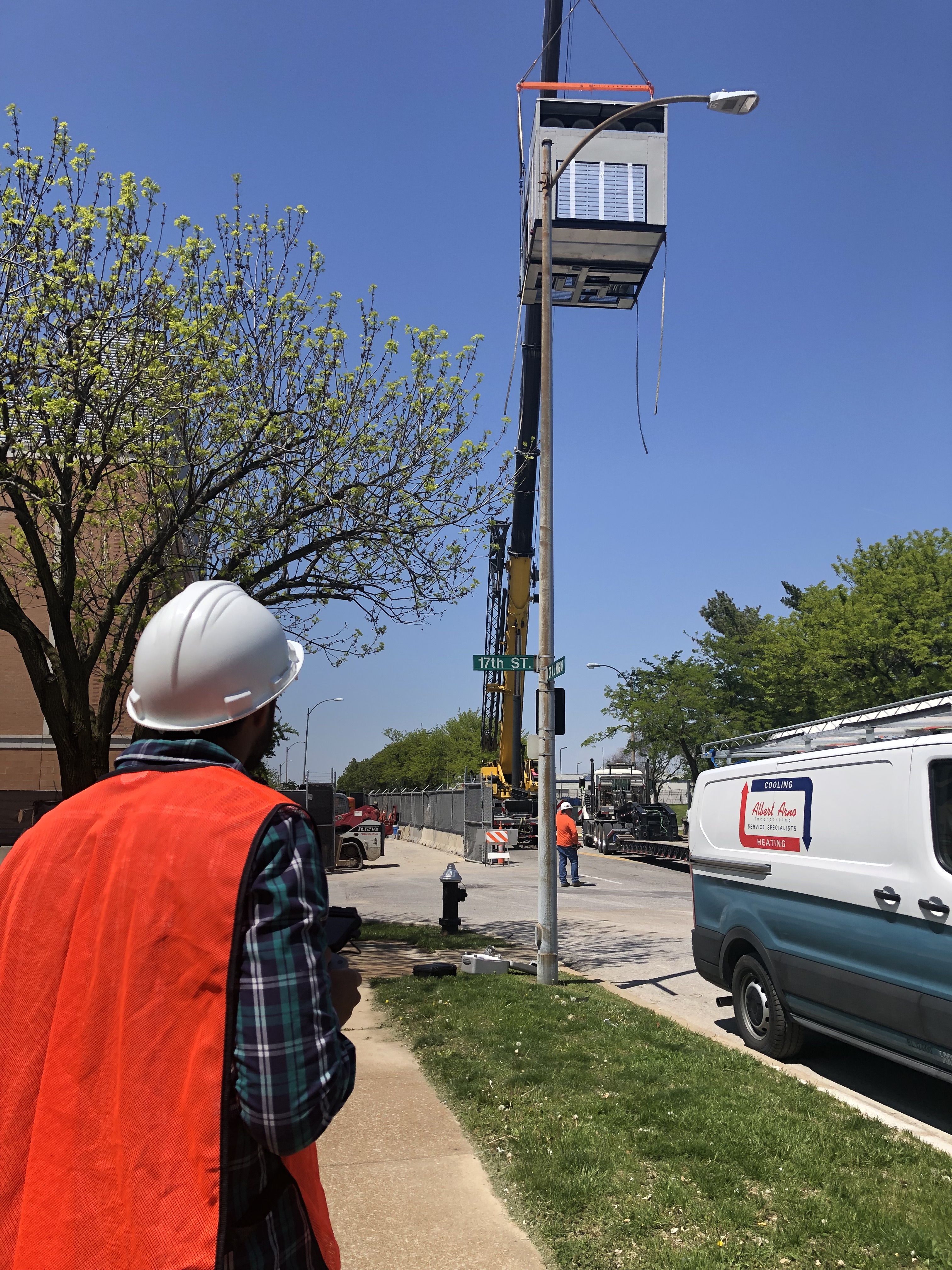
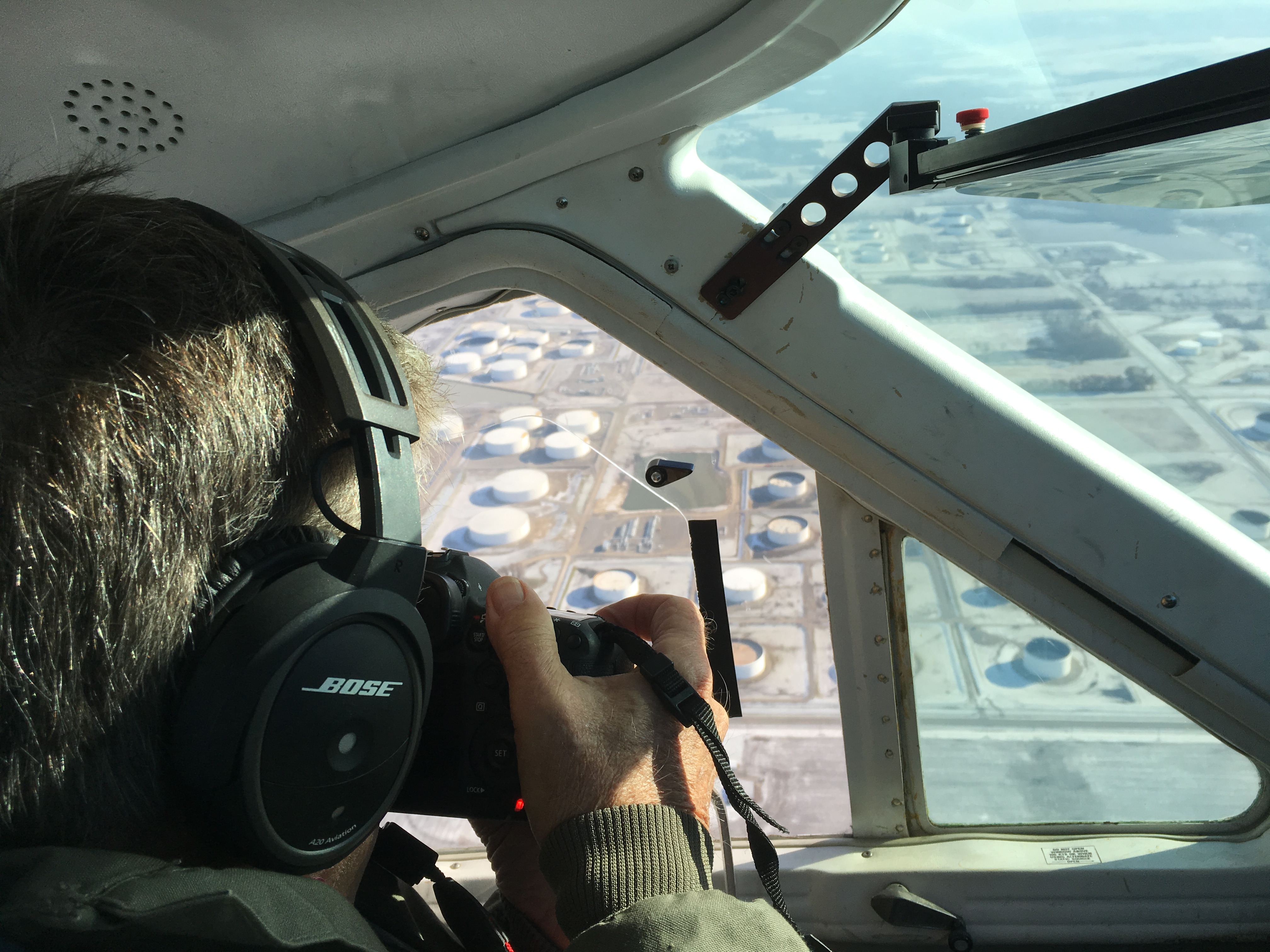
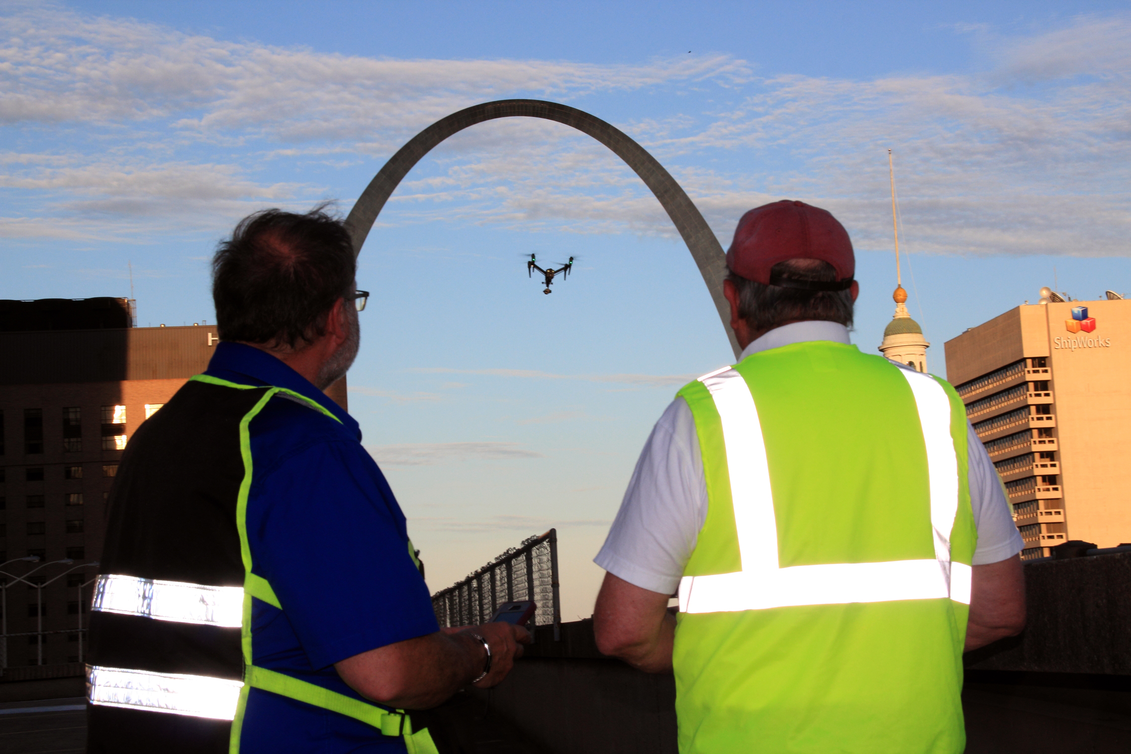
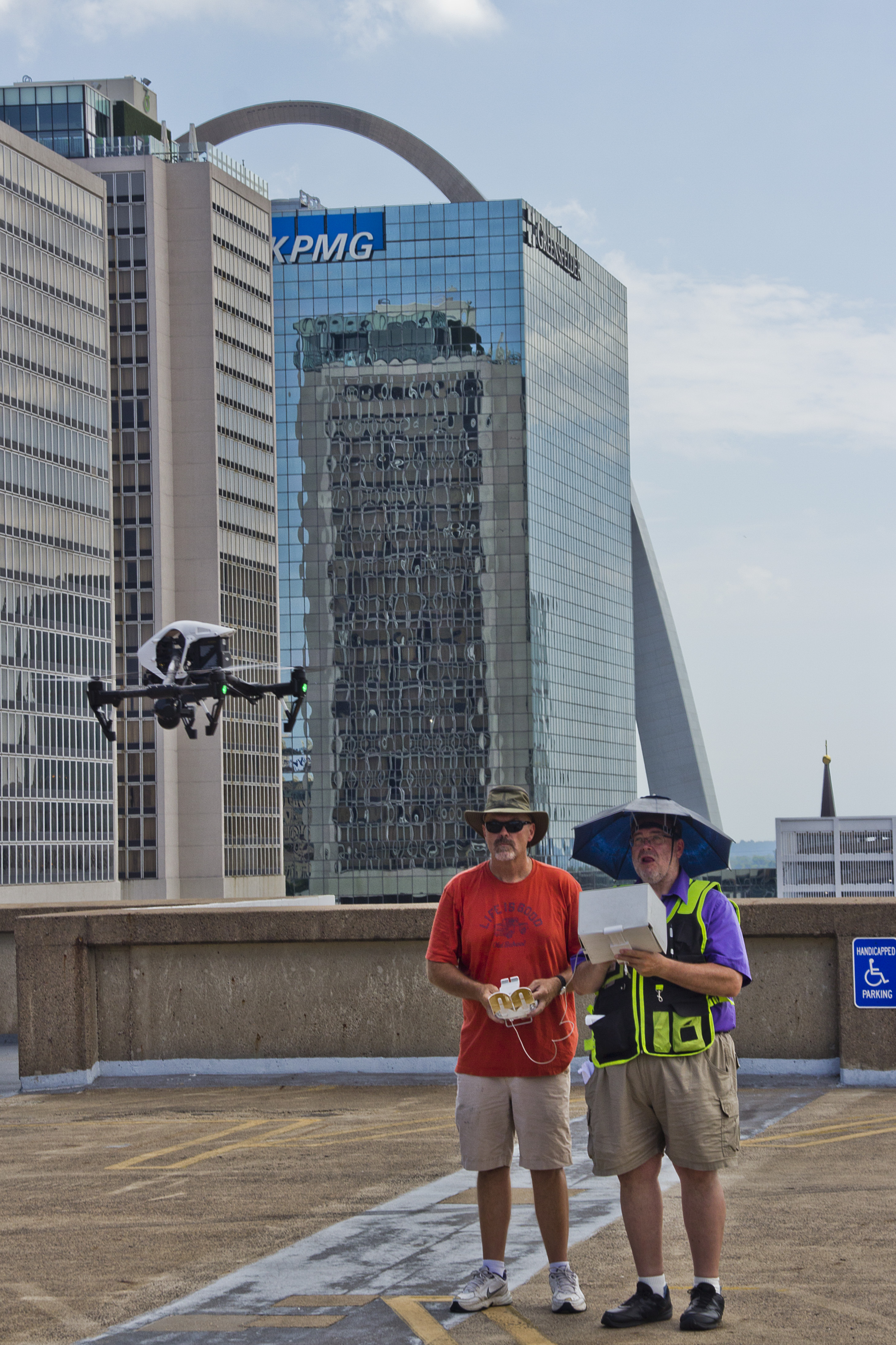
At St Louis Drone Services, we bring decades of experience in professional photography, video production, and licensed drone operations to the table. Our drone pilots are FAA-certified and skilled in flying both outdoor and indoor environments—including tight warehouse spaces and enclosed facilities where specialized GPS-free drones are required.

We offer:

  • Customized flight planning for multi-site or recurring stockpile measurements
  • Accurate 2D and 3D maps in formats compatible with your CAD, GIS, or modeling platforms
  • Repurposable media—video and imagery captured during surveys can also be used in marketing, training, and reporting
  • Full-service editing and post-production, using the latest AI-assisted software for maximum clarity and precision

Our team doesn’t just deliver raw data—we help interpret it and integrate it into your business workflow. Whether you need a single snapshot or ongoing documentation, we scale our services to your needs.


Why Choose St Louis Drone Services

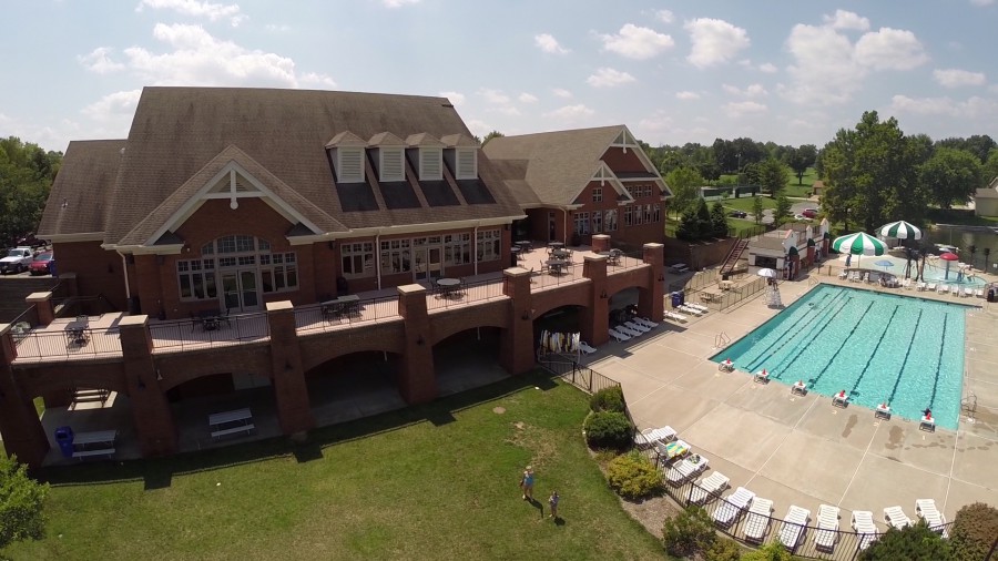
Since 1982, St Louis Drone Services has been the trusted partner for businesses, marketing firms, and creative agencies throughout the St. Louis region. We are a full-service commercial photography and video production company, offering both studio and on-location capabilities. From data-rich drone flights to polished post-production, our experienced crew ensures every aspect of your project is executed flawlessly.

We provide:

  • FAA-licensed pilots
  • Custom indoor drone solutions
  • Expert photo and video editing
  • AI-enhanced media processing
  • Complete support for multi-format deliverables

Whether you’re in construction, manufacturing, logistics, or aggregate sales, St Louis Drone Services has the tools, talent, and experience to deliver accurate, efficient, and professional stockpile measurement solutions. And if your team needs help transforming that footage into compelling marketing visuals? We’ve got you covered there, too.

Contact us today to schedule your aerial assessment—and take your inventory management to new heights.

314-604-6544

stlouisdroneservices@gmail.com

How to Use Drones to Measure Stockpiles and Track Volumes More Accurately

In the mining, construction, and aggregates industries, precise stockpile measurement is essential for effective inventory management and operational efficiency. Traditional methods can be time-consuming, labor-intensive, and often less accurate. However, with the advent of drone technology, measuring stockpiles has become significantly more efficient and accurate. This guide explores how drones are transforming stockpile measurement and how your organization can benefit from this innovative approach.

The Advantages of Using Drones for Stockpile Measurement

Typically, a drone survey can be completed in a few hours, including flight time and initial data processing.

Accurate and Efficient Data Collection

Drones enable quick and precise data collection by capturing geo-referenced images from above your worksite. Using photogrammetry, these images can be transformed into detailed 3D maps. Drone survey visualization software ensures high data accuracy, allowing for precise stockpile volume measurements.

Track Progress and Compare Surveys

Drone technology simplifies the process of comparing current stockpile volumes to previous surveys, helping you effectively track site progress. You can also compare drone surveys to final grade design files to determine how much material needs to be added or removed, ensuring your project stays on target.

Comprehensive 3D Mapping

Drones create detailed 3D maps of your site, providing both a visual representation and actionable data, including stockpile volume calculations. This level of detail and accuracy is invaluable for informed decision-making in inventory management and site planning.

Improved Safety

Traditional stockpile measurement methods often require personnel to climb stockpiles, posing safety risks. Drones eliminate this hazard by collecting data remotely, ensuring the safety of your workforce. At St Louis Drone Services, safety is our top priority. Our licensed pilots are FAA 107 compliant and Safe-To-Fly certified, meeting the highest safety standards.

Speed and Cost-Effectiveness

Drone surveys are faster than traditional methods, allowing for more frequent data collection and quicker turnaround times. This efficiency can lead to significant cost savings by reducing the time and labor needed for stockpile measurement while maintaining high accuracy.

Applications of Drone Surveying in Various Industries

Mining and Aggregates

For professionals in the mining and aggregates industries, stockpile inventory management is a key application of drone surveying. Accurate volume measurements are critical for managing inventory, planning operations, and meeting regulatory requirements. Drones provide a reliable and efficient means to collect this essential data.

Construction

Construction sites benefit greatly from drone surveying. Quick site surveys and detailed 3D maps help project managers track progress, manage resources, and ensure projects stay on schedule and within budget. The actionable data collected from drone flights supports informed decision-making and enhances overall project efficiency.

Frequently Asked Questions About Drones and Volumetric Measuring

1. How accurate are drone surveys for volumetric measurements?

Drone surveys are highly accurate for volumetric measurements, often achieving accuracy within 1-2% of traditional ground survey methods. Accuracy depends on factors such as the drone’s camera quality, flight plan, and processing software used for generating 3D models and measurements.

2. What equipment is needed for drone volumetric measurements?

To conduct volumetric measurements using drones, you need:

  • A high-quality drone equipped with GPS and a high-resolution camera.
  • Photogrammetry software for processing images and generating 3D models.
  • Ground control points (GCPs) to enhance survey accuracy.
  • A computer capable of handling the processing software and large datasets.

3. How long does it take to complete a drone survey?

The time required for a drone survey depends on the site’s size and terrain complexity. Typically, a drone survey can be completed in a few hours, including flight time and initial data processing. Larger or more complex sites may take longer.

4. What are ground control points (GCPs) and why are they important?

Ground control points (GCPs) are physical markers placed on the ground at known coordinates. They improve the accuracy of the drone survey by providing reference points for the photogrammetry software, ensuring that the generated 3D models and measurements are correctly scaled and geo-referenced.

5. Can drones be used to measure stockpiles indoors?

Yes, drones can measure stockpiles indoors using specialized drones equipped with sensors that navigate in GPS-denied environments. While indoor measurements can be more challenging due to limited space and potential obstacles, accurate measurements can be achieved with the right equipment and expertise.

6. What types of materials can be measured using drones?

Drones can measure various materials, including aggregates like rock and gravel, coal, sand, soil, and more. As long as the stockpiles are accessible and visible to the drone’s camera, volumetric measurements can be accurately obtained.

7. How are the volumetric measurements calculated from drone data?

Volumetric measurements are calculated using photogrammetry software that processes the images captured by the drone. The software generates a 3D model of the site and calculates the volume of the stockpiles by analyzing differences in elevation and surface area.

8. What are the benefits of using drones for volumetric measurements compared to traditional methods?

The benefits of using drones for volumetric measurements include:

  • Increased safety by eliminating the need for personnel to climb stockpiles.
  • Faster data collection and processing times.
  • High accuracy and detailed 3D models.
  • Cost savings due to reduced labor and time requirements.
  • The ability to frequently update measurements for better inventory management.

9. Are there any regulatory requirements for using drones in volumetric measurements?

Yes, there are regulatory requirements for using drones, including:

  • Obtaining a Remote Pilot Certificate from the FAA for commercial drone operations.
  • Adhering to FAA Part 107 regulations, which cover operational limitations, airspace restrictions, and safety guidelines.
  • Ensuring the drone and pilot comply with local regulations and any additional permits required for specific areas.

10. How can St Louis Drone Services help with drone volumetric measurements?

At St Louis Drone Services, we provide comprehensive drone surveying services, including volumetric measurements. Our team of licensed and experienced pilots, equipped with the latest technology, ensures accurate data collection and processing. We prioritize safety and compliance with FAA regulations, offering customized solutions to meet your specific needs. Whether you need regular inventory updates, detailed site surveys, or custom media production, we have the expertise and equipment to deliver exceptional results.

Why Choose St Louis Drone Services

At St Louis Drone Services, we are a full-service professional commercial photography and video production company with extensive experience in drone surveying for stockpile inventory management. Our team of licensed drone pilots is equipped with the latest technology to provide accurate and reliable data acquisition. Here’s what sets us apart:

  • Expertise and Equipment: We have the right equipment and creative crew to handle all aspects of your project, from data acquisition to post-production.
  • Comprehensive Services: We offer full-service studio and location video and photography, as well as editing, post-production, and licensed drone pilots. Whether you need custom video productions, sound and camera operators, or specialized drone flights, we have you covered.
  • Customization: We can tailor our services to meet diverse media requirements, ensuring that your content is optimized for maximum impact.
  • Safety and Compliance: Our operations are FAA approved, and all our pilots are FAA 107 compliant. We prioritize safety and adhere to the highest standards in the industry.
  • Experience: We have worked with numerous businesses to gather data and measure stockpiles accurately, helping them make informed decisions and improve operational efficiency.

By leveraging our expertise and state-of-the-art technology, St Louis Drone Services can help you achieve accurate stockpile measurements and optimize your inventory management processes. Contact us today to learn more about how we can support your business needs with our comprehensive drone surveying services.

314-604-6544

stlouisdroneservices@gmail.com

Utilizing Drones for Infrared Imaging

In recent years, the field of infrared imaging has witnessed a revolution, thanks to advancements in drone technology. As an experienced drone pilot and infrared technician at St. Louis Drone Services, I am excited to delve into the fascinating world of utilizing drones for infrared imaging. In this comprehensive article, we will explore the applications, benefits, equipment, and techniques involved in this cutting-edge field.

The heart of any infrared drone setup is the thermal camera. These specialized cameras can detect heat emissions and convert them into visible images or data.

Introduction to Infrared Imaging

Infrared imaging, also known as thermography, is a technology that enables us to capture images based on the heat radiated by objects and surfaces. Unlike visible light, infrared radiation is invisible to the human eye, making it a valuable tool for various industries, including:

  • Building Inspection: Identifying heat leaks, electrical issues, and insulation problems.
  • Agriculture: Monitoring crop health and detecting irrigation problems.
  • Search and Rescue: Locating individuals in low-light or obscured environments.
  • Wildlife Conservation: Studying animal behavior and habitat analysis.
  • Industrial Applications: Predictive maintenance, quality control, and process monitoring.

However, traditional methods of acquiring infrared data often involved ground-based equipment or manned aircraft, which could be costly, time-consuming, and limited in accessibility. This is where drones have stepped in to revolutionize the field.

Advantages of Infrared Drones

1. Cost-Effective

Traditional infrared inspections often require scaffolding, lifts, or helicopter rentals, driving up costs significantly. In contrast, drones are a cost-effective solution. They are less expensive to operate and can access hard-to-reach areas without the need for additional infrastructure.

2. Safety

Performing inspections in dangerous or high-risk environments can put human lives at stake. Drones eliminate this risk by allowing technicians to remotely access hazardous areas, ensuring their safety while collecting crucial data.

3. Efficiency and Speed

Drones equipped with thermal cameras can swiftly cover large areas, reducing the time required for inspections. This efficiency can be especially critical in time-sensitive situations, such as disaster response or equipment failures.

4. Data Accuracy

Infrared drones provide highly accurate thermal data, enabling precise analysis and decision-making. The images they capture are detailed and can reveal temperature variations as subtle as a few tenths of a degree Celsius.

5. Accessibility

Drones can access areas that are difficult or impossible to reach by traditional means, such as the undersides of bridges, the tops of tall buildings, or remote wilderness locations.

Equipment and Technology

To harness the full potential of infrared imaging with drones, it’s essential to have the right equipment and technology at your disposal. At St. Louis Drone Services, we take pride in using cutting-edge tools to deliver top-notch results.

1. Thermal Cameras

The heart of any infrared drone setup is the thermal camera. These specialized cameras can detect heat emissions and convert them into visible images or data. Some popular brands in the industry include FLIR, DJI, and Seek Thermal.

2. High-Resolution Drones

Pairing the right drone with a thermal camera is crucial. High-resolution drones with stable flight capabilities, like the DJI Matrice series, provide a stable platform for capturing detailed infrared images.

3. Software and Data Analysis

Software plays a crucial role in the post-processing of thermal data. Tools like FLIR Tools or specialized drone thermal analysis software can help interpret and analyze the captured imagery.

Techniques for Infrared Imaging with Drones

Now that we have covered the advantages and essential equipment, let’s delve into some techniques that are employed when utilizing drones for infrared imaging.

1. Altitude and Angle Control

Maintaining the right altitude and camera angle is essential for accurate data collection. Drones must fly at an optimal height and angle to capture thermal data effectively.

2. Overlap in Image Capture

To ensure comprehensive coverage and avoid missing critical details, thermal images should have a degree of overlap. This ensures that no areas are left uninspected.

3. Stabilization and Calibration

Stabilization systems on drones are crucial for eliminating image distortion caused by drone movement. Calibrating the thermal camera is also vital to ensure accurate temperature readings.

4. Data Annotation

After capturing thermal images, it’s essential to annotate and categorize the data for analysis. This process helps identify anomalies and temperature variations effectively.

5. Integration with Other Sensors

For a holistic inspection, drones can be equipped with other sensors, such as LiDAR or multispectral cameras. Combining data from multiple sources can provide a more comprehensive view of the inspected area.

Applications of Infrared Imaging with Drones

The versatility of infrared imaging with drones opens up a wide range of applications across various industries. Let’s explore some of these applications in detail.

Building Inspection and Maintenance

One of the most common applications is building inspection and maintenance. Infrared drones can identify issues such as water leaks, insulation problems, and electrical faults in commercial and residential structures. This is particularly valuable for predictive maintenance and energy efficiency improvements.

Agriculture

In agriculture, drones equipped with thermal cameras can monitor crop health, detect irrigation problems, and assess soil conditions. Farmers can make data-driven decisions to optimize crop yields and reduce water usage.

Public Safety and Search and Rescue

Drones have proven invaluable in search and rescue operations. Thermal imaging can help locate missing persons, even in low-light or challenging environments. Drones equipped with thermal cameras are used by first responders to save lives.

Wildlife Conservation

Infrared drones have made significant contributions to wildlife conservation efforts. Researchers can monitor animal behavior, track poachers, and study ecosystems from the air without disturbing the natural environment.

Industrial Applications

Industries rely on thermal imaging drones for predictive maintenance, quality control, and process monitoring. Identifying equipment failures before they occur can save companies substantial amounts of money and prevent downtime.

Post-Production and Data Analysis

Collecting infrared data with drones is only the beginning of the process. The real value lies in post-production and data analysis. At St. Louis Drone Services, we excel in this crucial aspect of infrared imaging.

1. Data Interpretation

Our team of experienced technicians and analysts is well-versed in interpreting thermal data. We can identify anomalies, temperature variations, and potential issues, providing our clients with actionable insights.

2. Reporting

We take pride in delivering comprehensive and easy-to-understand reports to our clients. These reports include detailed findings, annotated images, and recommendations for any necessary actions.

3. Customization

St. Louis Drone Services understands that each client’s needs are unique. We offer customization options to tailor our services to your specific requirements, ensuring that you get the most out of your thermal imaging data.

4. Repurposing and Traction

We recognize the importance of repurposing your thermal imaging data to gain more traction and value. Whether it’s for marketing purposes or further analysis, we can help you leverage your data effectively.

Conclusion

In conclusion, the utilization of drones for infrared imaging has transformed the way we approach various industries and applications. At St. Louis Drone Services, we are proud to be at the forefront of this technology, offering full-service infrared drone production and post-production services.

As a full-service video creation company, St. Louis Drone Services has worked with many commercial businesses in the St. Louis area to create their building infrared reports. We have experienced drone videographers and producers to create insightful, accurate reporting. Whether it’s building inspections, agricultural assessments, public safety, wildlife conservation, or industrial applications, our team is equipped with the right equipment and creative crew service experience for accurate reporting.

If you are looking to harness the power of infrared imaging with drones for your specific needs, don’t hesitate to reach out to us. We are well-versed in all file types and styles of infrared media reporting and can tailor our services to meet your unique requirements. Contact St. Louis Drone Services today and let us help you unlock the potential of thermal imaging with drones.

Contact St. Louis Drone Services to discuss your infrared imaging needs and experience the difference that expertise and cutting-edge technology can make.

314-604-6544

stlouisdroneservices@gmail.com

How Drone Services are Revolutionizing Construction Site Monitoring

Introduction

The construction industry is no stranger to embracing innovative technologies that enhance efficiency, safety, and project management. One such technological advancement that has transformed the way construction sites are monitored and managed is the utilization of drone services. Drones, equipped with high-resolution cameras and advanced sensors, have become an invaluable tool for construction professionals. In this article, we will explore the numerous ways in which drone services are revolutionizing construction site monitoring, and how St. Louis Drone Services, a full-service video and photography production company based in St. Louis, can help ensure construction site safety and efficiency through their expertise in drone imagery.

Drones can capture images and videos of the site at various stages, providing an accurate record of progress.

The Evolution of Construction Site Monitoring

Traditionally, monitoring a construction site was a labor-intensive process that involved manual inspections and sometimes even climbing tall structures for a closer look. This not only posed safety risks but was also time-consuming. With the advent of drone technology, the game changed dramatically.

1. Aerial Surveying

Drones, with their ability to capture high-definition aerial images and videos, offer a bird’s-eye view of construction sites. This enables project managers, engineers, and stakeholders to have a comprehensive and real-time overview of the entire site. Aerial surveys can be conducted regularly, allowing for the tracking of progress and the identification of potential issues early in the construction process.

2. Safety Inspections

Safety is paramount on construction sites, and drones have proven to be an essential tool for enhancing safety measures. Drones can be equipped with thermal cameras and other specialized sensors to detect safety hazards, such as heat leaks, gas leaks, and electrical issues. Moreover, they can monitor worker compliance with safety protocols and ensure that no one is in harm’s way.

3. Progress Tracking

Tracking the progress of a construction project is crucial for staying on schedule and within budget. Drones can capture images and videos of the site at various stages, providing an accurate record of progress. This can be particularly useful for comparing the actual work done with the project timeline, identifying delays, and making necessary adjustments.

4. Site Security

Construction sites are often vulnerable to theft, vandalism, and trespassing. Drones can act as a security asset by patrolling the area and providing real-time alerts if any unauthorized activity is detected. They can be programmed to fly surveillance routes and record any suspicious activity, thereby deterring potential threats.

How Drones Benefit Construction Site Monitoring

The adoption of drone services in construction offers several notable advantages:

1. Time and Cost Efficiency

Drones significantly reduce the time and labor required for site inspections. Traditional methods may take days or even weeks to complete, while drones can provide data within hours. This time efficiency translates to cost savings, as fewer man-hours are needed for monitoring and inspections.

2. Safety

By minimizing the need for manual inspections and climbing structures, drones contribute to a safer working environment. The ability to conduct safety inspections with specialized sensors also enhances on-site safety measures.

3. Accurate Data

Drones capture high-quality images and videos, providing a level of detail that is hard to achieve with the naked eye. This accuracy is essential for making informed decisions and ensuring that the construction process is on track.

4. Real-time Monitoring

Drones offer real-time data and can be programmed to provide alerts if any anomalies or safety hazards are detected. This enables quick responses to emerging issues, preventing potential delays and costly rework.

5. Improved Communication

Drones provide a common platform for sharing visual data with all stakeholders, including architects, engineers, project managers, and investors. This enhances communication and collaboration throughout the project.

St. Louis Drone Services: Your Partner in Construction Site Safety

St. Louis Drone Services is a leading full-service video and photography production company based in St. Louis, specializing in providing comprehensive drone services for construction site monitoring. With a team of experienced and certified drone pilots, we are well-versed in all aspects of shooting and editing videos for construction job sites.

Our services include:

  • Aerial Surveying: We capture high-resolution aerial images and videos to provide an in-depth view of your construction site. Our drones are equipped with cutting-edge cameras and sensors to ensure precise and detailed data.
  • Safety Inspections: Safety is a top priority in the construction industry. Our drones are equipped with thermal cameras and other specialized sensors to identify safety hazards and compliance issues, ensuring that your construction site is a secure and accident-free environment.
  • Progress Tracking: We offer comprehensive progress tracking services, allowing you to monitor the development of your construction project. With regular updates, you can make informed decisions to keep your project on track.
  • Site Security: St. Louis Drone Services provides site security solutions to protect your construction site from theft, vandalism, and trespassing. Our drones can patrol the area and alert you to any unauthorized activity.

Case Study: How We Improved Construction Site Monitoring

Let’s take a look at a real-world example of how St. Louis Drone Services helped a construction company enhance its monitoring and safety measures.

Project Overview

Our client, a large construction firm, was working on a complex project involving the construction of a multi-story building in a densely populated urban area. Safety and progress tracking were major concerns due to the challenging nature of the project.

Our Solution

  1. Regular Aerial Surveys: We conducted weekly aerial surveys to track the progress of the construction. This allowed our client to detect any deviations from the project schedule and address them promptly.
  2. Safety Inspections: Our drones were equipped with thermal cameras, which were used to identify heat leaks and electrical issues. This proactive approach to safety inspections led to the early detection and resolution of potential hazards.
  3. Site Security: Our drones patrolled the construction site during non-working hours, providing an extra layer of security. Any unauthorized activity was quickly identified and reported.

Results

  • The construction project was completed on schedule, thanks to our regular progress tracking.
  • Safety incidents were minimized due to the early detection of safety hazards.
  • Site security was enhanced, and incidents of theft and vandalism were reduced to zero.

Conclusion

The utilization of drone services in construction site monitoring is undoubtedly revolutionizing the industry. From enhanced safety measures to efficient progress tracking, drones are proving to be a game-changer. St. Louis Drone Services, as a full-service drone imagery company, is here to partner with construction businesses of all types and sizes in the St. Louis area.

We understand the unique needs of the construction industry and have the expertise to provide comprehensive drone services that can significantly improve construction site safety, efficiency, and project management. As experts in shooting drone video for commercial construction sites, we are committed to helping our clients achieve their goals.

Contact St. Louis Drone Services today to learn more about how our drone services can benefit your construction project and improve safety. Let us be your trusted partner in construction site monitoring.

314-604-6544

stlouisdroneservices@gmail.com

Best Tips For Shooting Drone Video For Advertising And Public Relations

The rise of drones has opened up new possibilities for businesses, industries and marketing agencies. From real estate to travel, hotels and restaurants have all found new ways to use aerial photography to their advantage. And while some businesses may be wary of the implications and regulations involved with drones, the benefits are undeniable. Drones give businesses a whole new perspective on their properties, products and services. They’re also an affordable investment in a marketing tool that can pay off almost immediately. Whether you’re just getting started or looking for ways to improve your drone video shoots, here are the best ideas from experienced pros who know exactly what it takes to shoot effective drone videos.

Research the location

Before you even think about picking up a drone, you’ll want to do a thorough research of the location you plan to shoot. When shooting real estate drone videos, a property’s proximity to nearby businesses and neighbors can greatly affect your ability to shoot. If the property is close to a residential neighborhood, you’ll want to consider the noise, potential privacy issues and FAA regulations on drone use near people and buildings. When shooting hotels, restaurants or other businesses, you’ll want to research the hours that property is in use and when it’s closed. This will help you avoid unnecessary interruptions, as well as any noise complaints from neighbors.

Hire a professional drone pilot

Depending on the scope of your drone video shoot, you may want to hire a commercial drone pilot. Their skill set, licensing and knowledge can make the difference between a successful shoot and an FAA violation. A drone pilot who specializes in videography will have the experience and skill necessary to make sure your drone video is shot safely and with as few interruptions as possible. Hiring a professional drone pilot will also help you avoid fines and potential legal issues related to operating a drone without proper licensing or FAA clearance.

St Louis Drones for NFL Films Eads Bridge and Arch shot

Try to incorporate movement in your shot

One of the biggest mistakes new drone videographers make is shooting only stationary shots. While a stationary shot may be a great B-roll or cutaway shot, it won’t resonate with your audience the way a moving shot will. Dron videographers who want to create more visually appealing shots should incorporate as much movement as possible. This can be done by moving your drone both vertically and horizontally. Expert drone videographers often use a mix of both types of shots to create visually appealing videos.

Make sure you have written permission to shoot

If you’re shooting at a location that isn’t your own, you’ll want to make sure you have written permission to shoot. This can be as simple as asking the property owner if you can shoot on the grounds. While permission won’t prevent you from being fined or facing legal action if you are in violation of FAA regulations, it will go a long way toward protecting your business from liability. If you’re shooting a client’s property and they give you permission to shoot but don’t sign a release, you’ll want to make sure you have written permission anyway. Your client signing a release won’t protect you from any potential legal issues if you violate FAA regulations.

Plan your shots beforehand, and don’t deviate from that plan

While spontaneity has its place in the world of video, drone videographers who want their shoots to go smoothly should plan their shots ahead of time. When planning your shots, consider the effect you want to achieve, your target audience and the location of your shoot. You may also want to consider B-roll shots and cutaway shots to round out your video and enhance its impact.

St Louis Drone Services cinematography for The Layover movie production

Try to incorporate B-roll and cutaway shots

While we’ve talked about how important it is to have a moving shot, it’s also important to have B-roll and cutaway shots to break things up and make your video more visually interesting. B-roll is supplementary footage that is often used to enhance a shot or give the editor some freedom when piecing together a final video. Cutaway shots are transitions between scenes or shots. B-roll and cutaway shots are most common in documentaries, but they’re also used in other types of video, including drone videos. B-roll and cutaway shots can be as simple as panning shots of the landscape behind your subject to add visual interest to your videos. Cutaway shots are often used to transition from one subject to another or to transition from a wide shot to a close-up.

Use the best drone for your shoot

The best drone for you will depend on your circumstances, budget and experience level. Drones are available in a variety of price points and with different features. For example, beginner drone pilots may want to start with a more affordable option like a toy drone. While these aren’t the best option for professional videography, they can give you a basic understanding of drone operation and how to frame shots. To find the best drone for your needs, consider your budget, experience level and the type of shoot you plan to conduct. Budget is obviously a factor, but you may also want to consider the type of drone you want to use. If you want to use your drone for real estate shoots, you’ll want to choose a drone that has a high-quality camera.

Pick a time of day with little or no wind

When picking a time of day for your shoot, you’ll want to think about the elements. Strong winds can cause problems for drone pilots, especially beginners. Pick a time of day with little or no wind to make sure your video shoot goes as smoothly as possible. You’ll also want to avoid picking a time of day with extreme weather that could disrupt your video shoot. You’ll also want to pick a time of day with little or no sunlight. Drone pilots often like to shoot before sunrise or after sunset to avoid any potential issues with shadows.

Use the right camera settings

When setting up your camera, you’ll want to consider the type of footage you want to capture and the best camera settings for that. Drone videographers can capture both high-definition video and still images. Depending on the type of video you want to create and the camera settings you use, you can create stunning video and/or still shots. Determine what camera settings you want to use before you start shooting your video. This will help you avoid fumbling with your camera on the fly and wasting time and energy.

St Louis Drone Services for construction videos

Find the right location to launch and land

Depending on the type of drone you use, you may need to find the right location to launch and land your drone. Drone pilots who use larger unmanned aircraft systems (UAS) or higher-end drones may need to find a location that’s away from people. You may even need to get FAA clearance before you launch your drone. If you use a smaller drone that doesn’t pose a threat to people or property, you may be able to launch and land it just about anywhere.

Use the right frequency for your shoot

Depending on your frequency and what you’re shooting, you may need to make sure you’re not interfering with other nearby businesses or the general public. For example, you may want to avoid flying your drone near airports or businesses that fly commercial aircraft. You may also want to avoid flying your drone on the same frequency as other businesses that rely on short-range frequencies like first responders and others. If you plan on flying your drone near other businesses, you’ll want to check the frequency you’re currently using and make sure it doesn’t overlap with nearby businesses.

Avoid flying in bad weather

Drone pilots should avoid flying their drones in poor weather. Flying in bad weather can cause problems for both drone pilots and their aircraft. You may also run the risk of violating FAA regulations if you fly in bad weather. While the FAA doesn’t have set regulations for flying in poor weather conditions, there are guidelines for flying in bad weather. You’ll want to avoid flying in heavy fog, thunderstorms and other conditions that can disrupt your video shoot.

Stay away from other aircraft

When flying your drone, you don’t want to fly too close to other aircraft. While there are no FAA-mandated minimum distances pilots must maintain from other aircraft, it’s best to err on the side of caution. If you want to fly your drone but aren’t

Robert Haller

314-604-6544

stlouisdroneservices@gmail.com

Drone Media St. Louis | Professional Pilots

Our FAA certification assures that our pilots are knowledgeable regarding all FAA rules and regulations regarding unmanned aerial vehicle drone operation and safety practices.

We provide professional aerial photography and cinematography services for marketing and advertising companies as well as directly for the end client for leisure destinations and multimedia communications. This includes Golf Courses & Resorts, Local Tourism Promotion, and other Landmark and Destination Advertising. Use of drone photography and video can help provide a new, exciting perspective that attracts more visitors and customers.

We specialize in aerial and ground based video production in addition to providing in-house post-production services. Our expertise in video editing, sound design, and animation bring a unique component to each project and enables us to produce amazing content for our clients and partners.

Robert Haller

314-604-6544

stlouisdroneservices@gmail.com

Meridian St Louis building locator aerial map.

We now offer a powerful new aerial drone with features that were previously only available in Hollywood. Our fleet consists of a variety of different aircraft that shoot digital video using the highest quality cameras available.


Fast Setup – A big advantage of using our drones/UAVs over using a camera crane or jib is our setup and launch time. We can be in the air in as little as 10 minutes! Compare that to the typical setup time of a 30’ jib which is often times around an hour and a half. Capture aerial video in multiple locations in a short amount of time.

Robert Haller 314-604-6544 stlouisdroneservices@gmail.com

St Louis Drone Services | Aerial Photography and Video Production

Raw clip aerial drone footage of a chemical plant inspection for insurance and construction.

We have received our Section 333 approval and we already are working with several clients to provide data to their customers, mostly aerial video and imagery for photographers and commercial properties. We are also working with a solar company to capture roof dimensions and shading data for solar panel placement and infrastructure inspections.

St Louis Drone Services for Construction and Insurance documentation.

Rob Haller
314-604-6544
stlouisdroneservices@gmail.com

Commercial and Residential Real Estate Drone Photography

St Louis Drone Services is a full-service aerial photography and video production company able to provide concept to completion high end photography and video productions. Our award winning team can develop your creative concept and delivery anything from internet advertising to high definition commercials for TV.

Aerial Photography St Louis Drone Services

Robert Haller

314-604-6544

stlouisdroneservices@gmail.com