Tag Archives: st louis aerial video production

Can Drones Handle Big Solar Farms? The Answer May Surprise You

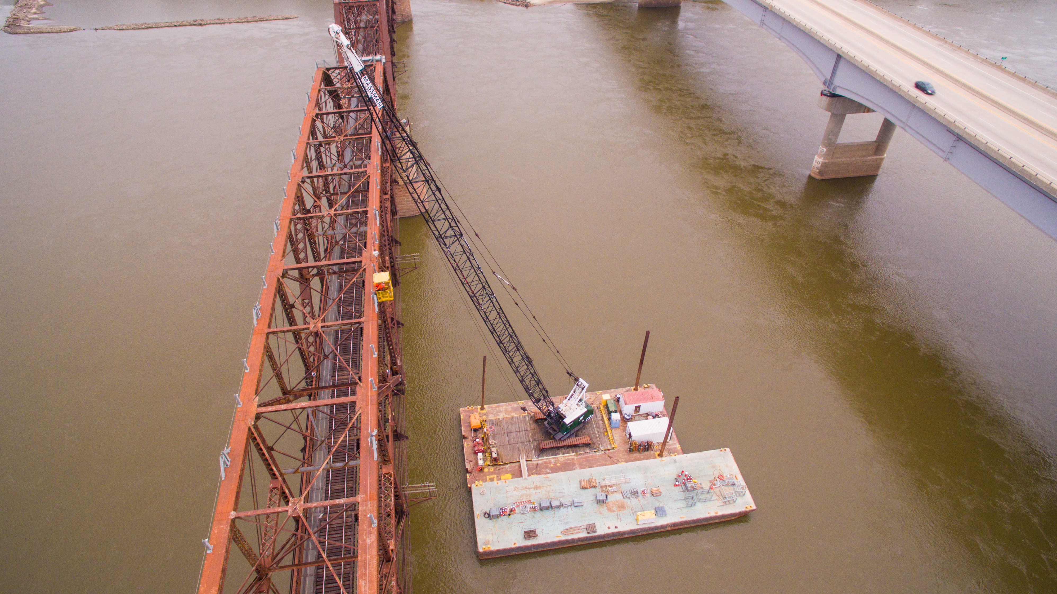
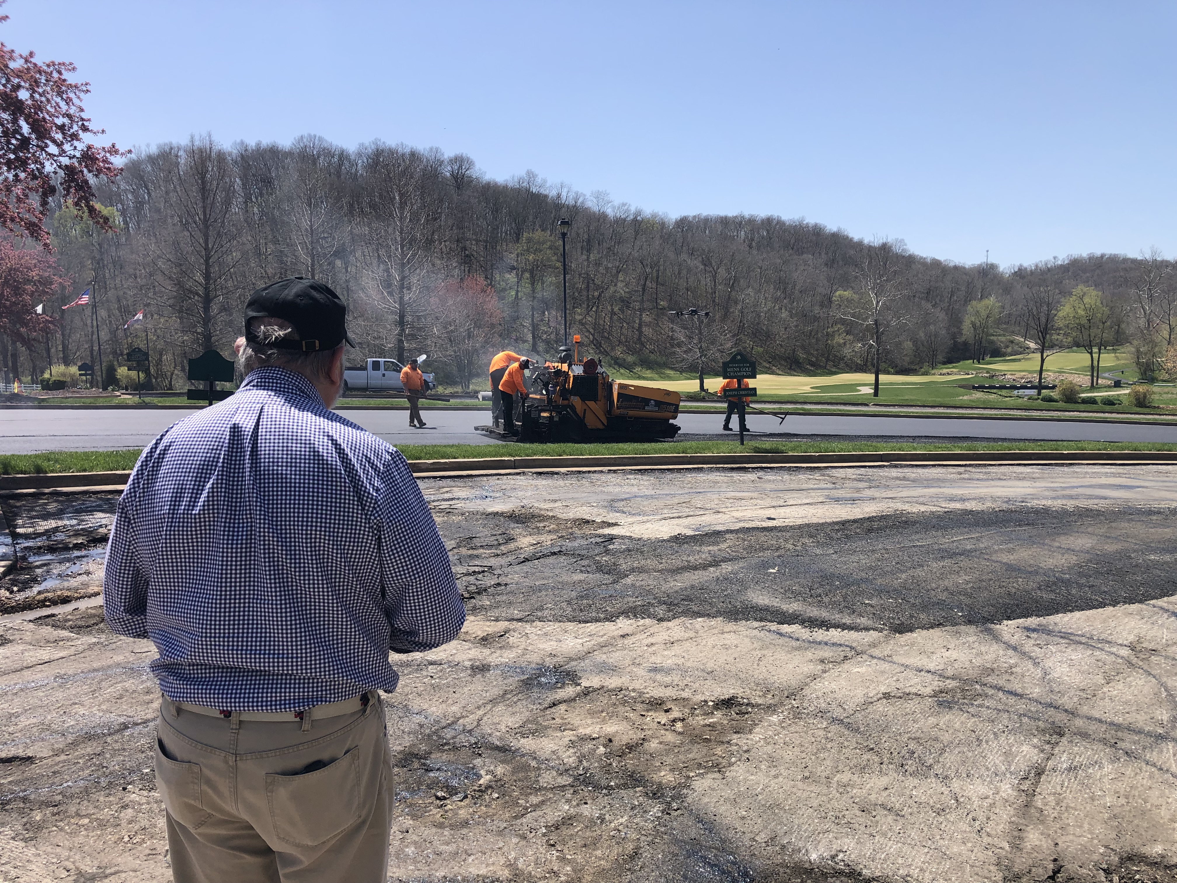
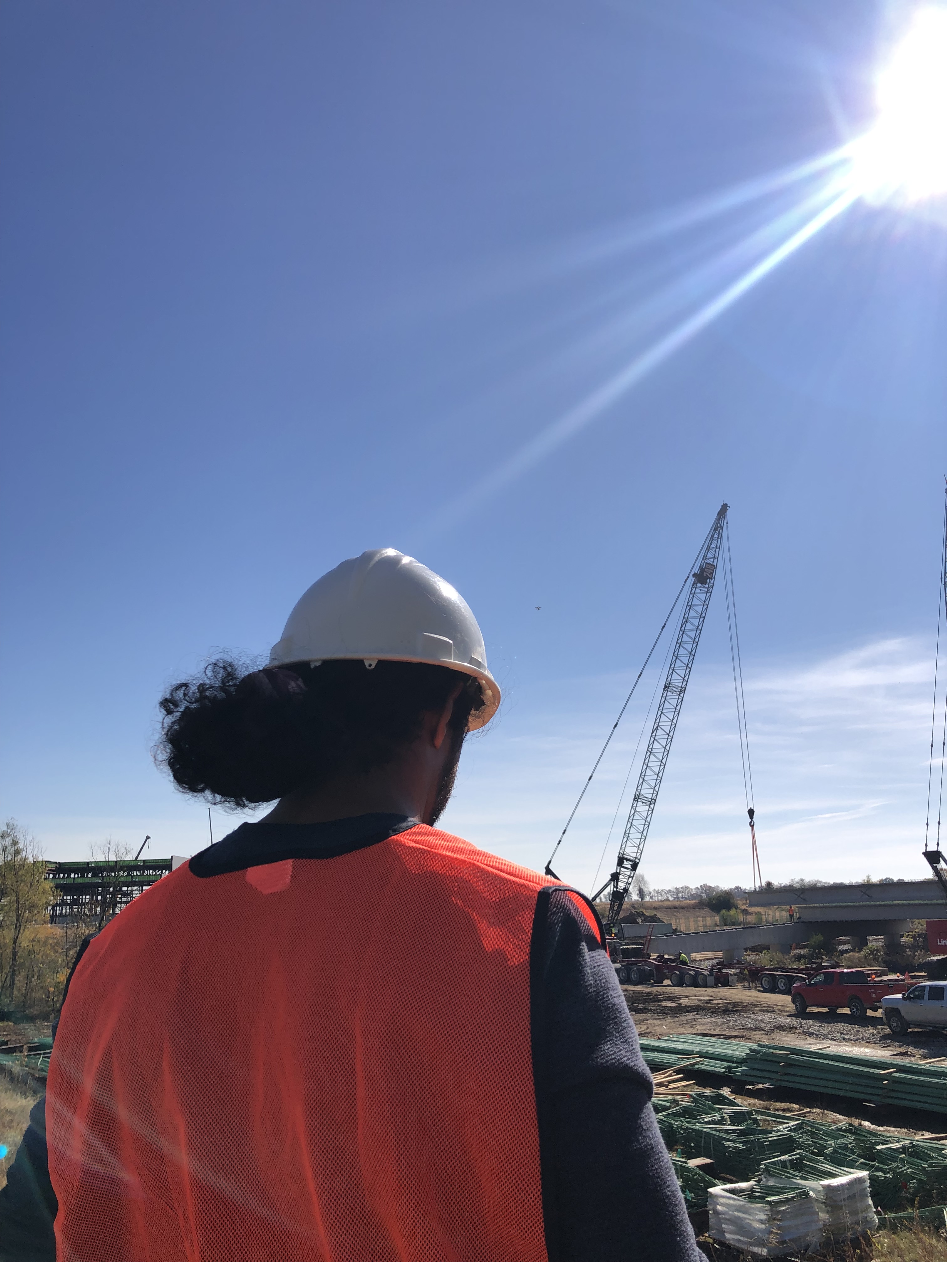
As renewable energy continues to expand, large-scale solar farms are becoming a dominant force in power generation. These sprawling fields of solar panels require regular inspection, maintenance, and performance monitoring to maximize efficiency. Traditionally, these tasks have been labor-intensive, requiring teams of technicians to physically navigate the sites. However, with advancements in drone technology, aerial solutions are transforming the way solar farms are managed.

The Challenge of Managing Large Solar Farms

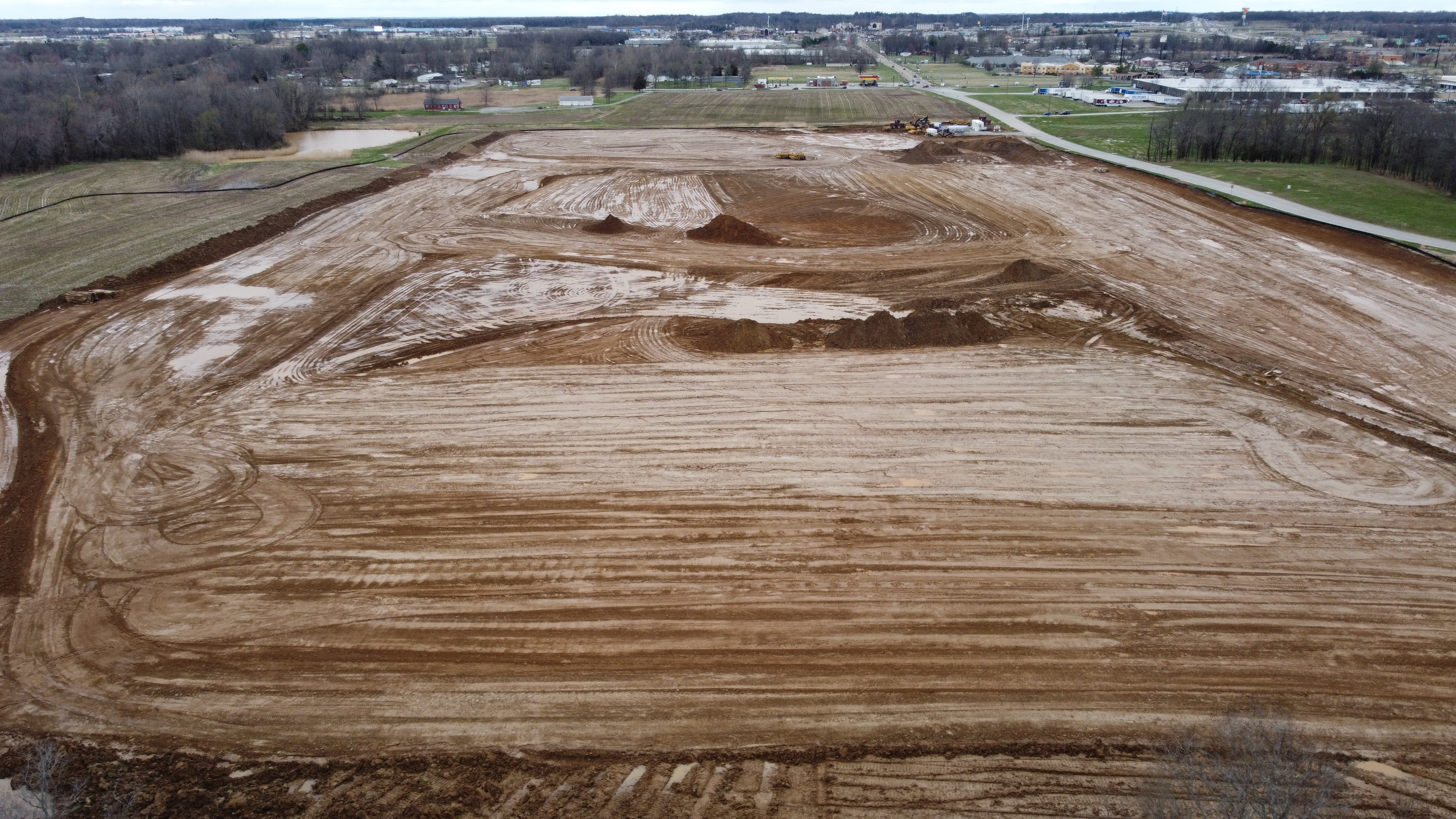
Solar farms can cover hundreds or even thousands of acres, making manual inspections time-consuming and inefficient. Even with ground-based monitoring systems, pinpointing underperforming panels or identifying damage from debris, weather, or wildlife is a logistical challenge. Additionally, traditional inspection methods often involve shutting down sections of a farm, leading to downtime and reduced energy output.

How Drones Are Revolutionizing Solar Farm Inspections

Drone technology offers a game-changing solution for the renewable energy sector. Equipped with high-resolution cameras, thermal imaging, and real-time data transmission capabilities, drones provide faster, more efficient, and more accurate solar panel inspections. Here’s how they are making a difference:

1. Speed and Efficiency

Drones can scan entire solar farms in a fraction of the time it would take a ground crew. By automating the inspection process, drones reduce labor costs and eliminate the need for technicians to traverse potentially hazardous areas.

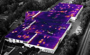
2. Thermal Imaging for Performance Monitoring

Infrared-equipped drones can detect temperature variations across solar panels, pinpointing hotspots that indicate faulty or underperforming cells. This allows technicians to quickly address issues before they escalate into significant problems.

3. Minimizing Downtime and Energy Loss

With drone inspections, solar farms don’t need to halt operations for extended periods. The ability to survey an entire facility while panels continue generating power ensures that maintenance teams can act promptly without disrupting energy production.

4. Enhanced Data Collection and Reporting

Drones not only capture high-quality imagery but also generate detailed reports that integrate with AI-powered analysis tools. This data helps solar farm operators make informed decisions about maintenance schedules, panel replacements, and overall system performance improvements.

5. Safety Benefits

Inspecting solar farms often involves working at heights or in remote areas. By deploying drones, businesses can reduce the risks associated with manual inspections and keep personnel safe.

Beyond Inspections: Drones in Solar Farm Planning and Construction

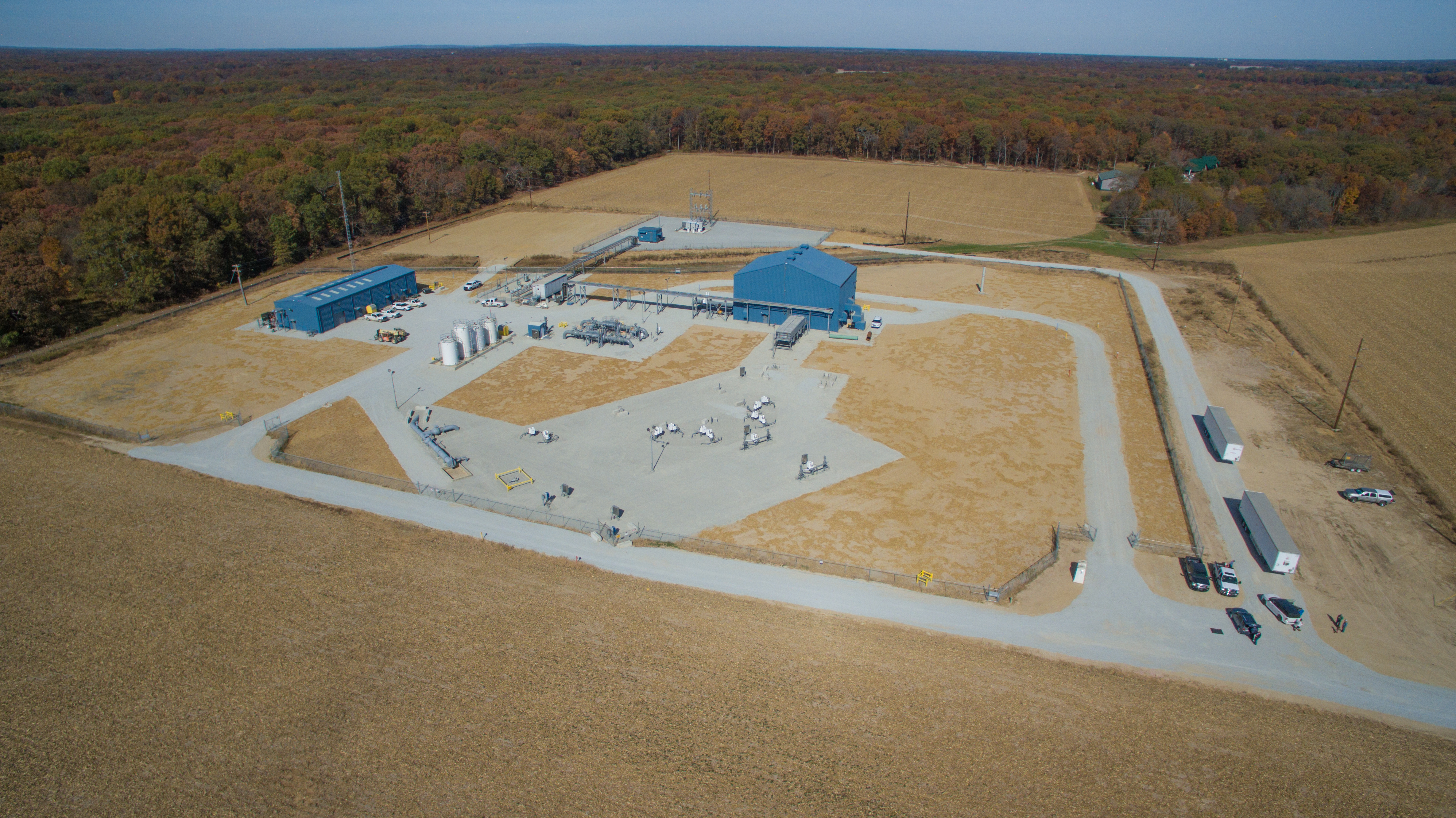
Drones aren’t just useful for ongoing maintenance; they play a vital role in the planning and construction of solar farms. Using aerial mapping, drones help survey land, assess topography, and determine the optimal panel layout for maximum sunlight exposure. This technology aids developers in making data-driven decisions that enhance overall efficiency and long-term viability.

Why St. Louis Drone Services is the Right Partner for Your Solar Energy Projects

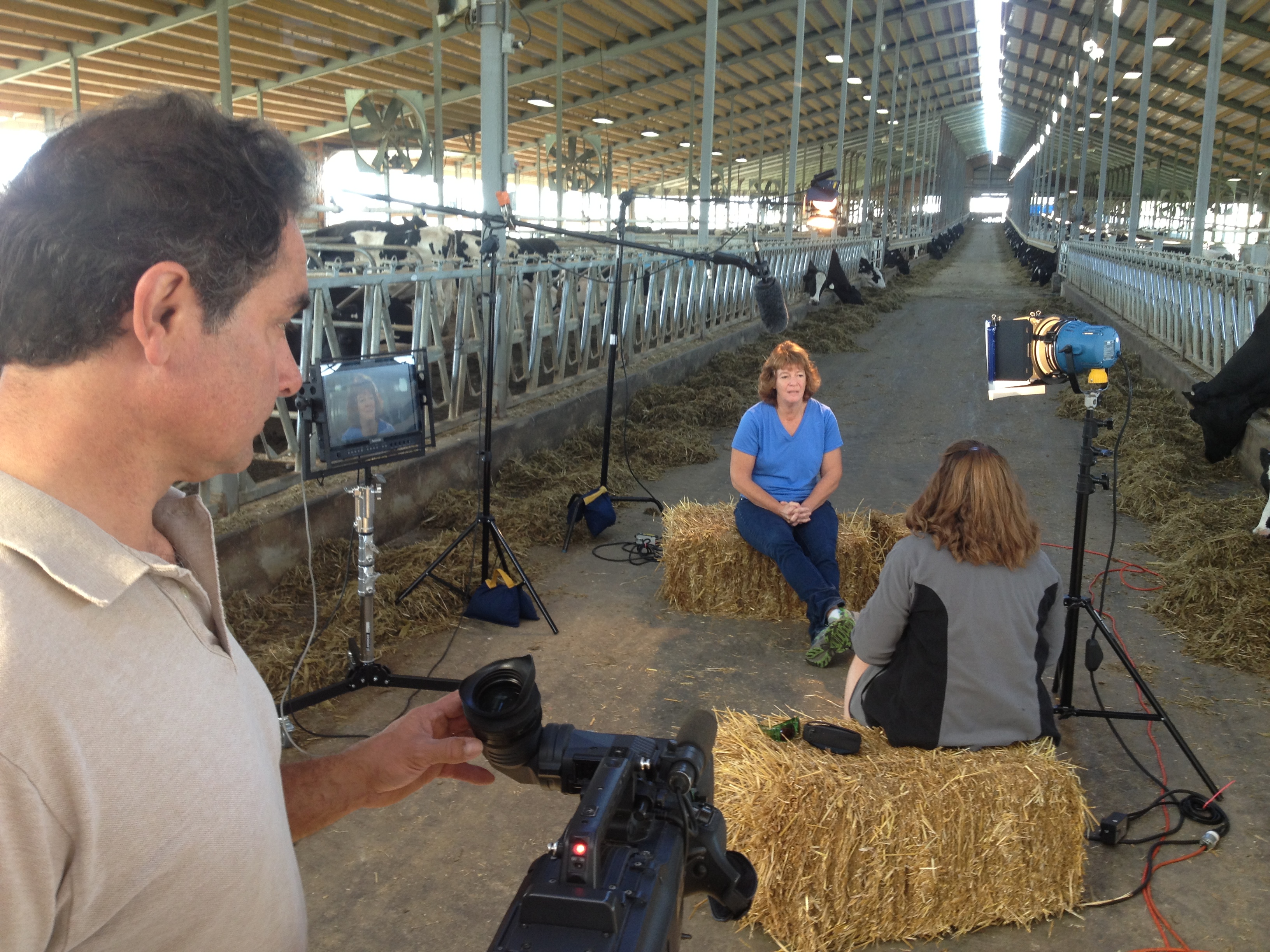
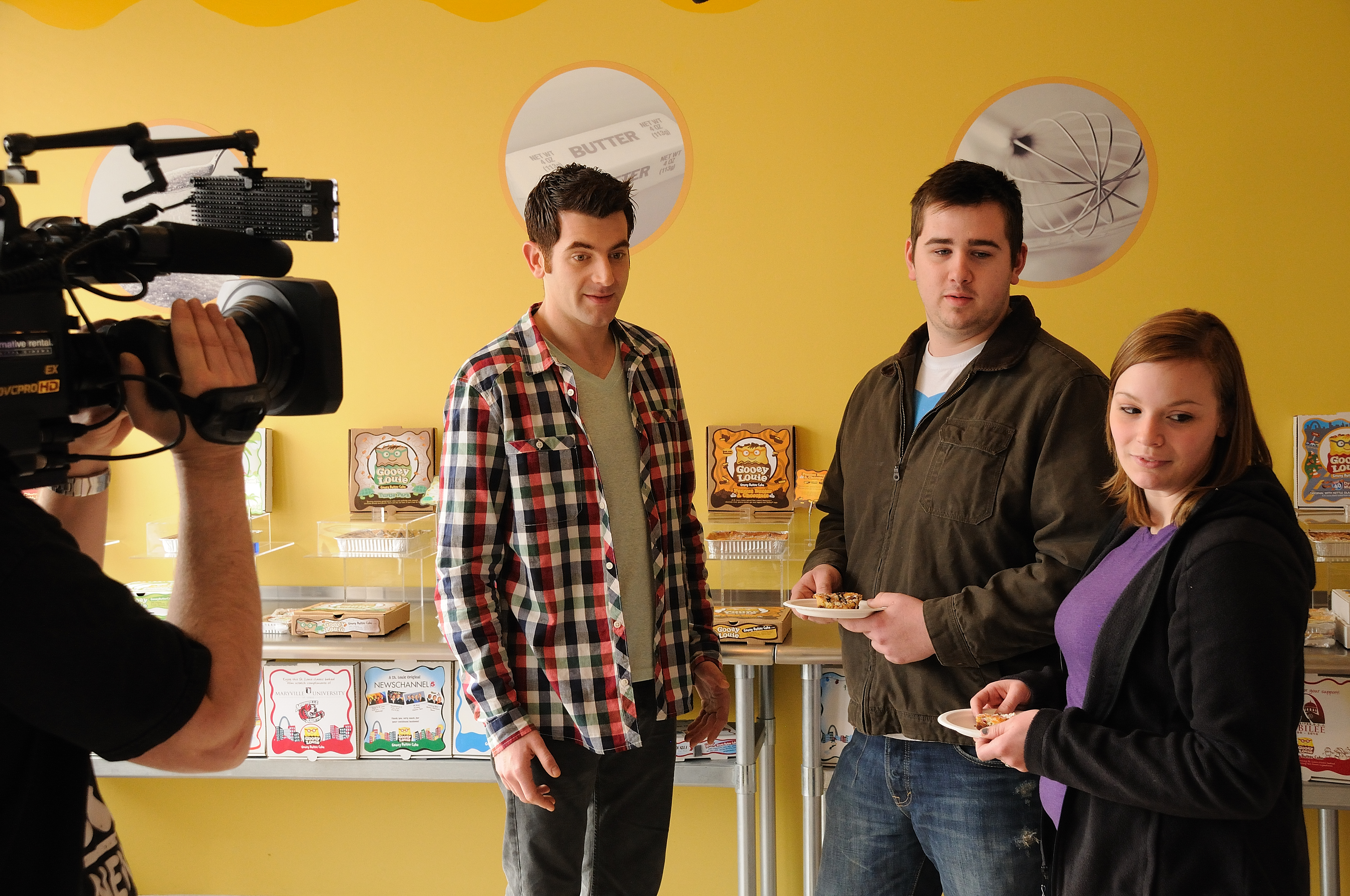
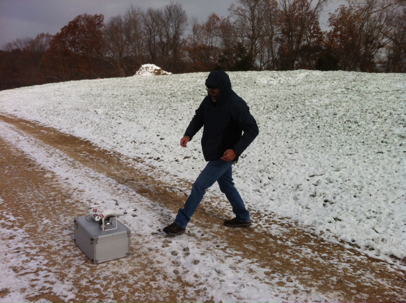
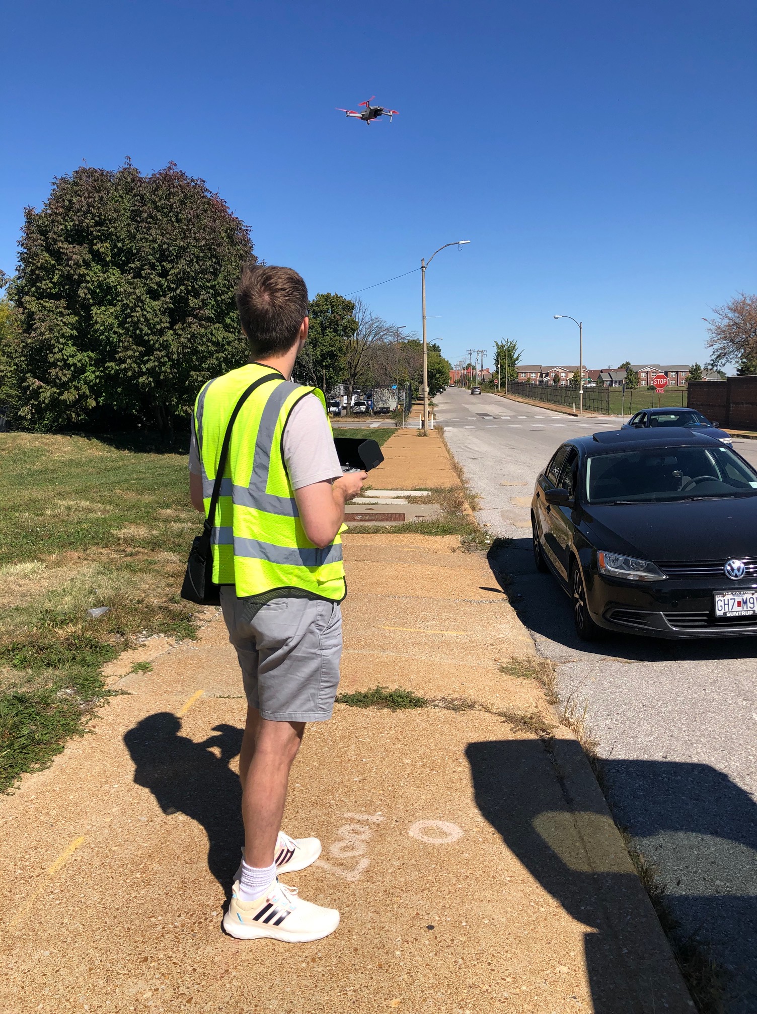
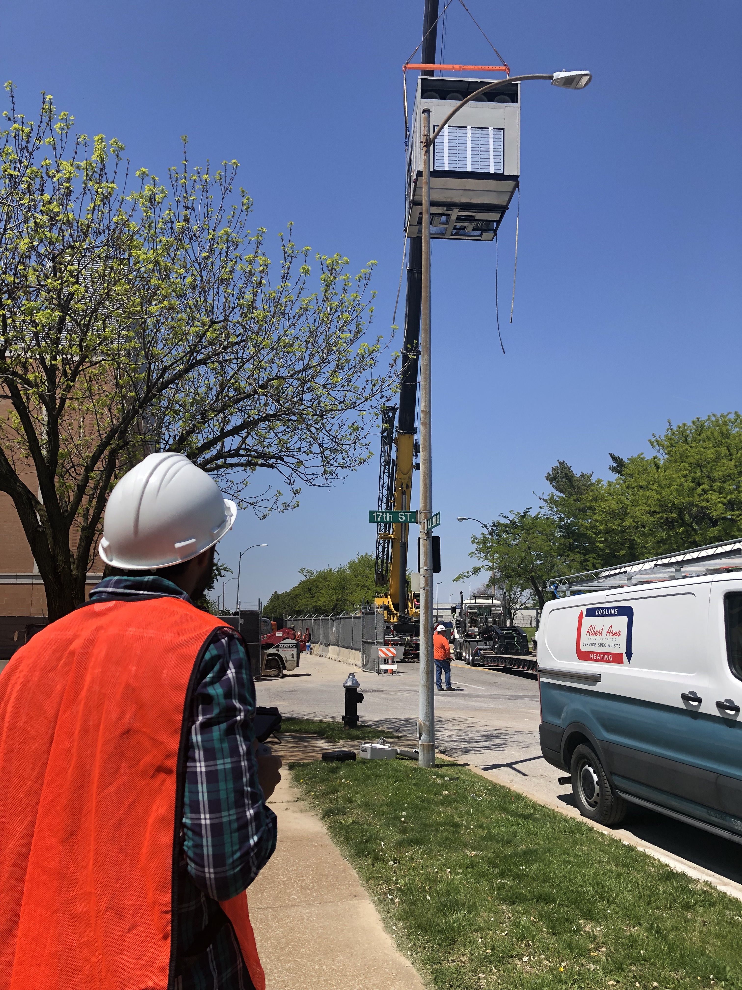
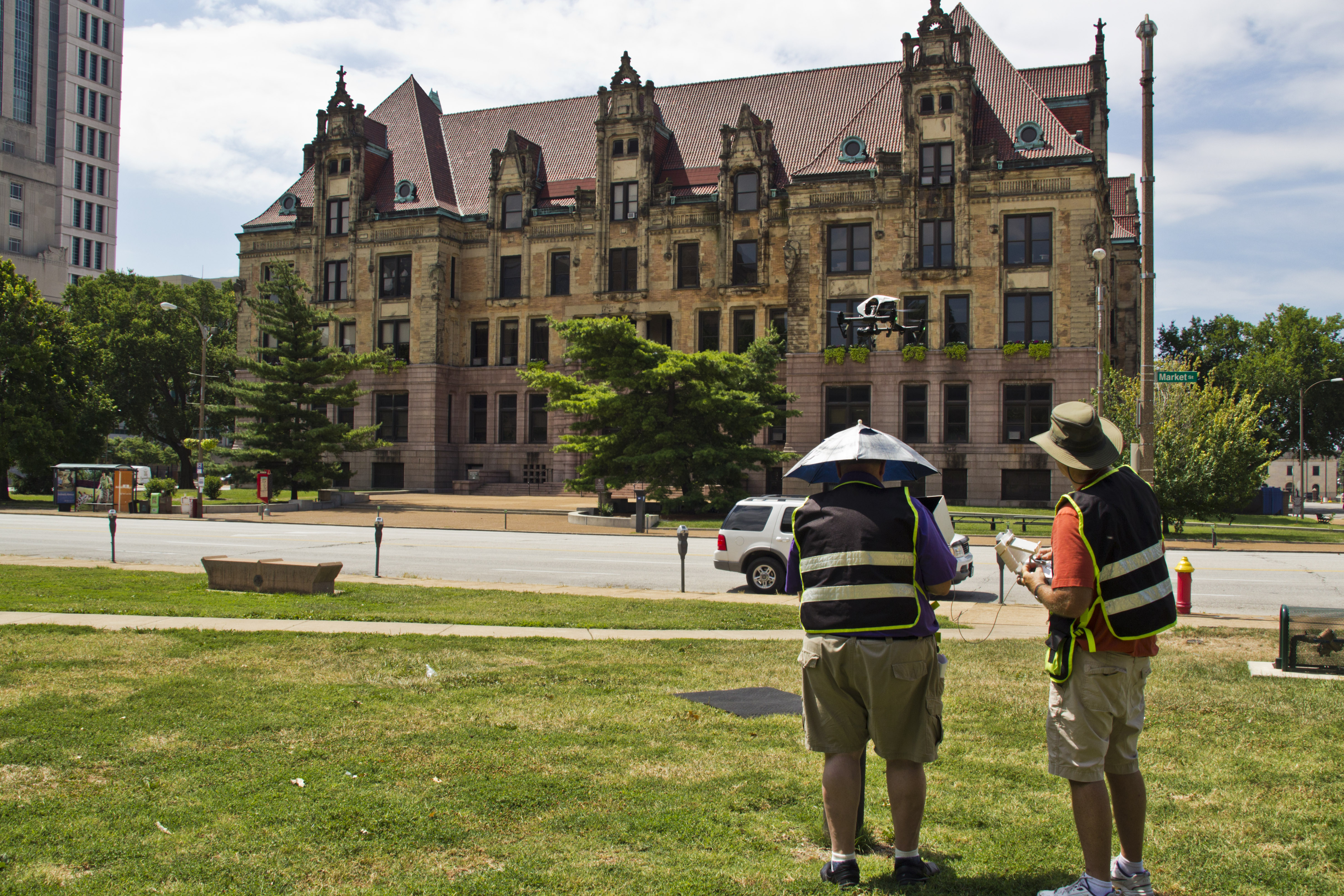
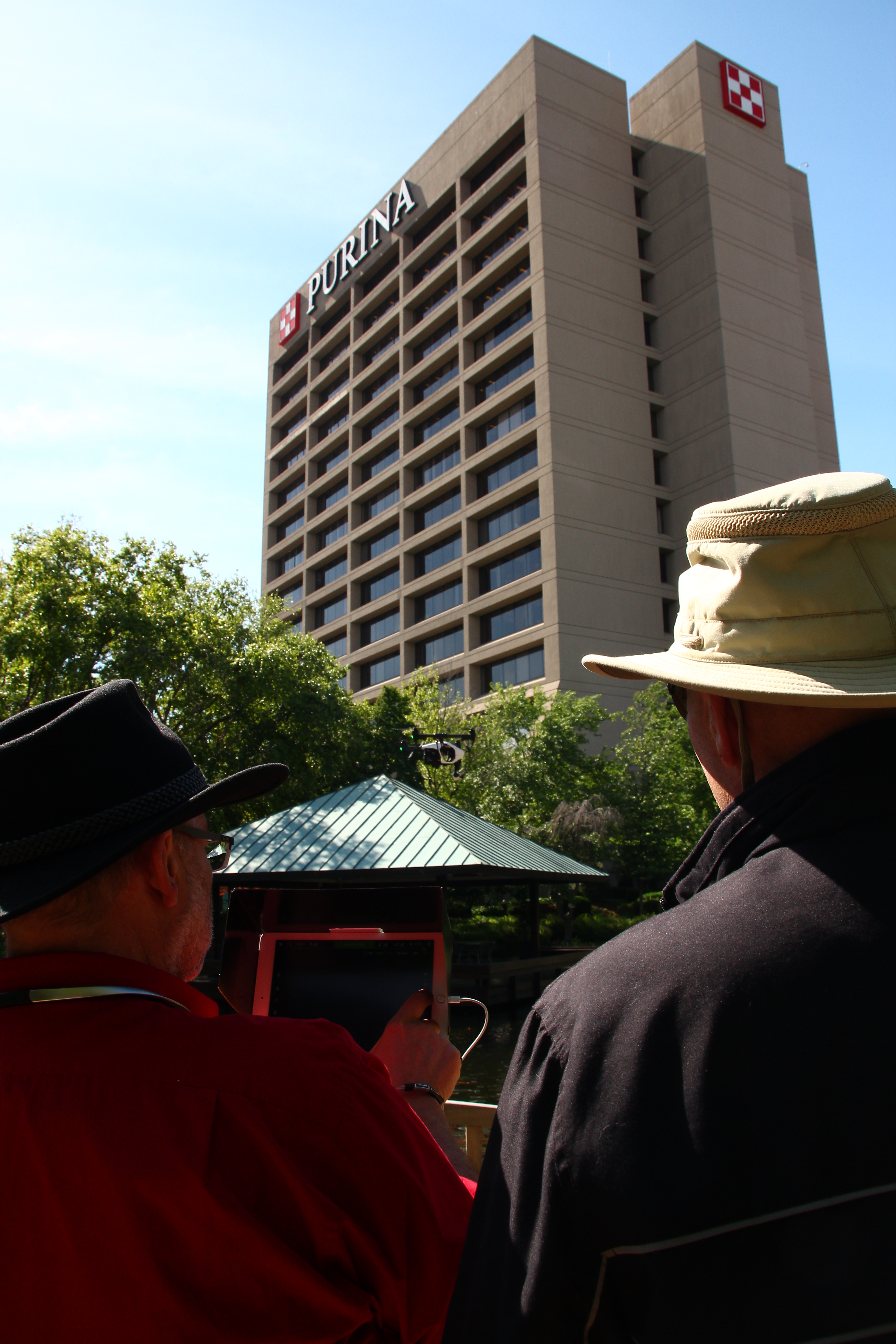
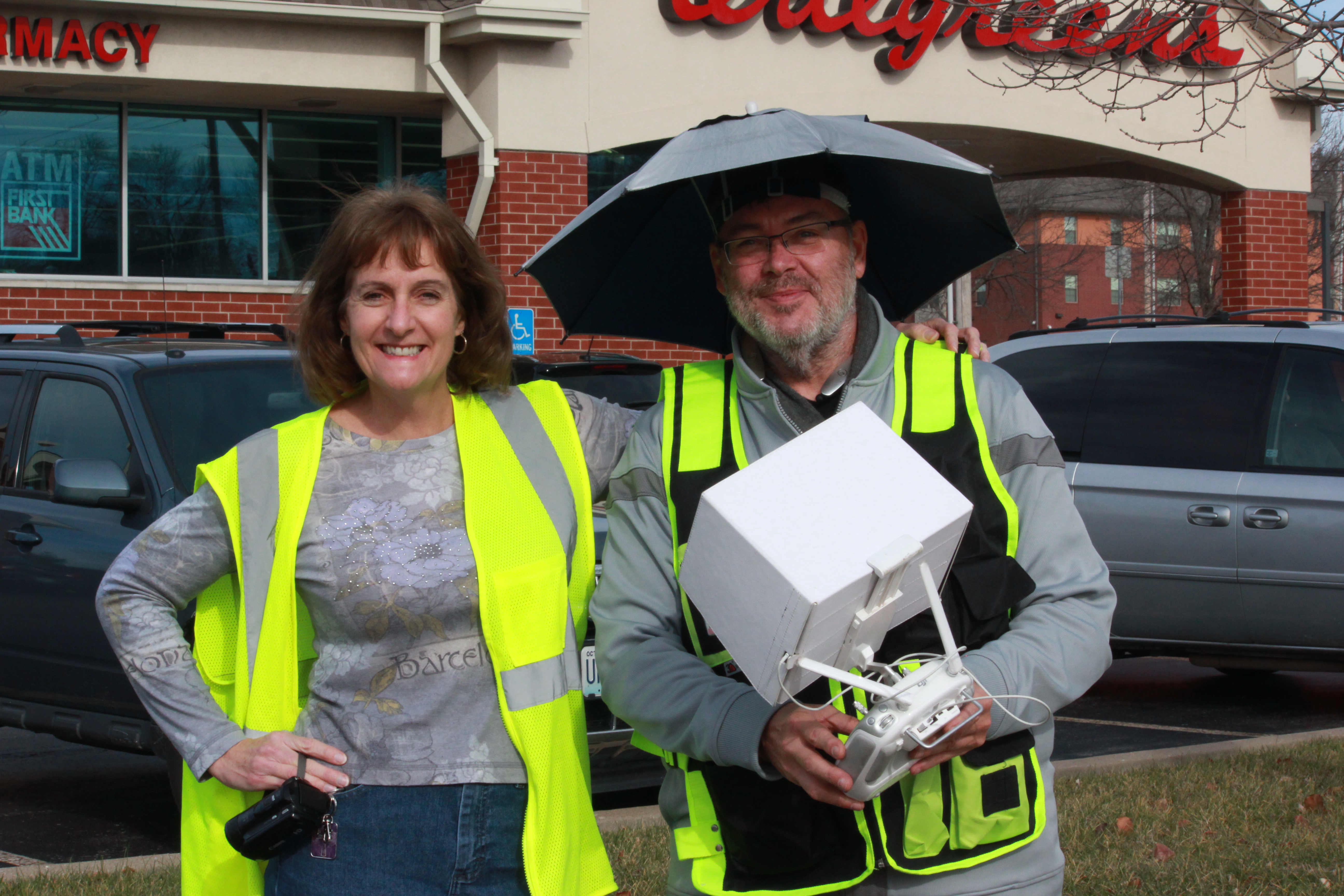
At St. Louis Drone Services, we specialize in commercial drone photography and video production, providing businesses and organizations with high-quality imagery and data to optimize their operations. Our experienced and licensed drone pilots utilize state-of-the-art equipment to conduct precision aerial inspections, making us the ideal partner for solar farm maintenance, monitoring, and marketing efforts.

As a full-service professional commercial photography and video production company, we offer:

  • Studio and location video and photography
  • Expert editing and post-production services
  • Specialized drone operations for both indoor and outdoor environments
  • Custom productions tailored to diverse media requirements
  • Repurposing photography and video branding to maximize market impact
  • Private studio setups with customizable lighting and visuals

With over 40 years of experience serving businesses, marketing firms, and agencies in the St. Louis area, we understand the unique needs of the energy sector. Whether you need high-resolution aerial inspections, promotional video content, or detailed performance analytics for your solar farm, our team is equipped to deliver exceptional results.

To learn more about how St. Louis Drone Services can enhance your solar farm operations through cutting-edge drone technology, contact us today. Let’s take your solar energy projects to new heights!

314-604-6544

stlouisdroneservices@gmail.com

How to Use Drones to Measure Stockpiles and Track Volumes More Accurately

In the mining, construction, and aggregates industries, precise stockpile measurement is essential for effective inventory management and operational efficiency. Traditional methods can be time-consuming, labor-intensive, and often less accurate. However, with the advent of drone technology, measuring stockpiles has become significantly more efficient and accurate. This guide explores how drones are transforming stockpile measurement and how your organization can benefit from this innovative approach.

The Advantages of Using Drones for Stockpile Measurement

Typically, a drone survey can be completed in a few hours, including flight time and initial data processing.

Accurate and Efficient Data Collection

Drones enable quick and precise data collection by capturing geo-referenced images from above your worksite. Using photogrammetry, these images can be transformed into detailed 3D maps. Drone survey visualization software ensures high data accuracy, allowing for precise stockpile volume measurements.

Track Progress and Compare Surveys

Drone technology simplifies the process of comparing current stockpile volumes to previous surveys, helping you effectively track site progress. You can also compare drone surveys to final grade design files to determine how much material needs to be added or removed, ensuring your project stays on target.

Comprehensive 3D Mapping

Drones create detailed 3D maps of your site, providing both a visual representation and actionable data, including stockpile volume calculations. This level of detail and accuracy is invaluable for informed decision-making in inventory management and site planning.

Improved Safety

Traditional stockpile measurement methods often require personnel to climb stockpiles, posing safety risks. Drones eliminate this hazard by collecting data remotely, ensuring the safety of your workforce. At St Louis Drone Services, safety is our top priority. Our licensed pilots are FAA 107 compliant and Safe-To-Fly certified, meeting the highest safety standards.

Speed and Cost-Effectiveness

Drone surveys are faster than traditional methods, allowing for more frequent data collection and quicker turnaround times. This efficiency can lead to significant cost savings by reducing the time and labor needed for stockpile measurement while maintaining high accuracy.

Applications of Drone Surveying in Various Industries

Mining and Aggregates

For professionals in the mining and aggregates industries, stockpile inventory management is a key application of drone surveying. Accurate volume measurements are critical for managing inventory, planning operations, and meeting regulatory requirements. Drones provide a reliable and efficient means to collect this essential data.

Construction

Construction sites benefit greatly from drone surveying. Quick site surveys and detailed 3D maps help project managers track progress, manage resources, and ensure projects stay on schedule and within budget. The actionable data collected from drone flights supports informed decision-making and enhances overall project efficiency.

Frequently Asked Questions About Drones and Volumetric Measuring

1. How accurate are drone surveys for volumetric measurements?

Drone surveys are highly accurate for volumetric measurements, often achieving accuracy within 1-2% of traditional ground survey methods. Accuracy depends on factors such as the drone’s camera quality, flight plan, and processing software used for generating 3D models and measurements.

2. What equipment is needed for drone volumetric measurements?

To conduct volumetric measurements using drones, you need:

  • A high-quality drone equipped with GPS and a high-resolution camera.
  • Photogrammetry software for processing images and generating 3D models.
  • Ground control points (GCPs) to enhance survey accuracy.
  • A computer capable of handling the processing software and large datasets.

3. How long does it take to complete a drone survey?

The time required for a drone survey depends on the site’s size and terrain complexity. Typically, a drone survey can be completed in a few hours, including flight time and initial data processing. Larger or more complex sites may take longer.

4. What are ground control points (GCPs) and why are they important?

Ground control points (GCPs) are physical markers placed on the ground at known coordinates. They improve the accuracy of the drone survey by providing reference points for the photogrammetry software, ensuring that the generated 3D models and measurements are correctly scaled and geo-referenced.

5. Can drones be used to measure stockpiles indoors?

Yes, drones can measure stockpiles indoors using specialized drones equipped with sensors that navigate in GPS-denied environments. While indoor measurements can be more challenging due to limited space and potential obstacles, accurate measurements can be achieved with the right equipment and expertise.

6. What types of materials can be measured using drones?

Drones can measure various materials, including aggregates like rock and gravel, coal, sand, soil, and more. As long as the stockpiles are accessible and visible to the drone’s camera, volumetric measurements can be accurately obtained.

7. How are the volumetric measurements calculated from drone data?

Volumetric measurements are calculated using photogrammetry software that processes the images captured by the drone. The software generates a 3D model of the site and calculates the volume of the stockpiles by analyzing differences in elevation and surface area.

8. What are the benefits of using drones for volumetric measurements compared to traditional methods?

The benefits of using drones for volumetric measurements include:

  • Increased safety by eliminating the need for personnel to climb stockpiles.
  • Faster data collection and processing times.
  • High accuracy and detailed 3D models.
  • Cost savings due to reduced labor and time requirements.
  • The ability to frequently update measurements for better inventory management.

9. Are there any regulatory requirements for using drones in volumetric measurements?

Yes, there are regulatory requirements for using drones, including:

  • Obtaining a Remote Pilot Certificate from the FAA for commercial drone operations.
  • Adhering to FAA Part 107 regulations, which cover operational limitations, airspace restrictions, and safety guidelines.
  • Ensuring the drone and pilot comply with local regulations and any additional permits required for specific areas.

10. How can St Louis Drone Services help with drone volumetric measurements?

At St Louis Drone Services, we provide comprehensive drone surveying services, including volumetric measurements. Our team of licensed and experienced pilots, equipped with the latest technology, ensures accurate data collection and processing. We prioritize safety and compliance with FAA regulations, offering customized solutions to meet your specific needs. Whether you need regular inventory updates, detailed site surveys, or custom media production, we have the expertise and equipment to deliver exceptional results.

Why Choose St Louis Drone Services

At St Louis Drone Services, we are a full-service professional commercial photography and video production company with extensive experience in drone surveying for stockpile inventory management. Our team of licensed drone pilots is equipped with the latest technology to provide accurate and reliable data acquisition. Here’s what sets us apart:

  • Expertise and Equipment: We have the right equipment and creative crew to handle all aspects of your project, from data acquisition to post-production.
  • Comprehensive Services: We offer full-service studio and location video and photography, as well as editing, post-production, and licensed drone pilots. Whether you need custom video productions, sound and camera operators, or specialized drone flights, we have you covered.
  • Customization: We can tailor our services to meet diverse media requirements, ensuring that your content is optimized for maximum impact.
  • Safety and Compliance: Our operations are FAA approved, and all our pilots are FAA 107 compliant. We prioritize safety and adhere to the highest standards in the industry.
  • Experience: We have worked with numerous businesses to gather data and measure stockpiles accurately, helping them make informed decisions and improve operational efficiency.

By leveraging our expertise and state-of-the-art technology, St Louis Drone Services can help you achieve accurate stockpile measurements and optimize your inventory management processes. Contact us today to learn more about how we can support your business needs with our comprehensive drone surveying services.

314-604-6544

stlouisdroneservices@gmail.com

Powerful Questions to Capture Compelling Testimonials on Video

In the world of marketing and advertising, testimonials are invaluable assets. They provide social proof, build trust, and offer potential customers genuine insights into the experiences of others. While written testimonials have their place, video testimonials take authenticity to another level. Through the power of visual storytelling and the emotional impact of seeing and hearing real people share their experiences, video testimonials can be incredibly persuasive.

Anecdotes or real-life examples add depth and authenticity to testimonials.

As a photographer and videographer at St Louis Drone Services, I’ve had the privilege of capturing numerous testimonials for various businesses and organizations. Through my experience, I’ve learned that the key to creating compelling video testimonials lies in asking the right questions. Here are some powerful questions you can use to elicit meaningful responses and capture compelling testimonials on video:

1. Can you share your experience with [product/service] before you started using it?

This question allows the interviewee to establish a baseline and provide context for their testimonial. By understanding their initial situation or problem, viewers can better relate to the journey that led to their positive experience.

2. What specific problem or challenge were you trying to solve when you decided to use [product/service]?

Identifying the pain points or challenges the interviewee faced helps potential customers who are in similar situations resonate with the testimonial. It also highlights the relevance of the product or service in addressing specific needs.

3. How has [product/service] helped you overcome that challenge or problem?

This question focuses on the transformation or positive outcomes that resulted from using the product or service. Hearing about tangible benefits or improvements reinforces the value proposition and demonstrates real-world utility.

4. What features or aspects of [product/service] do you find most valuable?

By pinpointing specific features or aspects that the interviewee appreciates, viewers gain insights into the product or service’s strengths and unique selling points. Highlighting key attributes reinforces credibility and helps differentiate from competitors.

5. Can you share a specific example or anecdote that illustrates the impact of [product/service] on your [business/life]?

Anecdotes or real-life examples add depth and authenticity to testimonials. They provide concrete evidence of the product or service’s effectiveness and offer compelling storytelling opportunities that engage viewers on an emotional level.

6. How would you describe your overall experience with [company/product/service]?

This broader question allows the interviewee to summarize their experience and convey their overall satisfaction or impression. It serves as a powerful closing statement that reinforces the positive sentiment conveyed throughout the testimonial.

7. Is there anything else you would like to add or share about your experience with [company/product/service]?

Leaving room for additional comments or feedback gives interviewees the opportunity to express any remaining thoughts or sentiments they feel are important. It can uncover unexpected insights or testimonials and provide a sense of closure to the interview.

Conclusion

Capturing compelling testimonials on video requires thoughtful preparation and skillful interviewing techniques. By asking the right questions and allowing interviewees to share their experiences authentically, you can create powerful marketing assets that resonate with your audience and drive conversions.

At St Louis Drone Services, we understand the importance of compelling visual storytelling in marketing and branding. As a full-service professional commercial photography and video production company, we have the expertise, equipment, and creative crew to successfully document conferences and capture captivating testimonials. From studio and location shoots to editing and post-production, we tailor our services to meet diverse media requirements and ensure maximum impact.

If you’re ready to elevate your marketing strategy with compelling video testimonials, contact St Louis Drone Services today. With our experience working with businesses, marketing firms, and agencies in the St. Louis area, we’re committed to delivering high-quality photography and video production that exceeds your expectations.

Contact us today to learn more about how we can help you showcase your brand through powerful visual storytelling.


As a full-service video and photography production company, St Louis Drone Services has worked with many businesses, marketing firms, and agencies in the St. Louis area for their corporate photography and video.

314-604-6544

stlouisdroneservices@gmail.com

Optimizing Stockpile Management with Drone Technology

In today’s fast-paced world, industries are constantly seeking innovative solutions to streamline their operations and improve efficiency. Stockpile management is no exception. Traditional methods of monitoring and managing stockpiles often involve manual labor, which can be time-consuming, labor-intensive, and prone to errors. However, with the advent of drone technology, stockpile management has taken a giant leap forward. In this comprehensive guide, we will explore how drones are revolutionizing stockpile management, the benefits they offer, and why St. Louis Drone Services is your trusted partner in this exciting journey.

This data provides accurate measurements, volume calculations, and condition assessments without the need for manual labor.

The Drone Revolution in Stockpile Management

What Are Stockpiles?

Before we delve into the role of drones in stockpile management, let’s understand what stockpiles are. Stockpiles are accumulations of materials or goods typically stored for future use. They can consist of various materials, including but not limited to:

  • Construction aggregates
  • Minerals and ores
  • Agricultural products
  • Waste and recycling materials
  • Bulk commodities

Effective management of these stockpiles is crucial for businesses to ensure smooth operations, reduce waste, and optimize resource allocation.

The Challenges of Traditional Stockpile Management

Traditionally, stockpile management involved manual methods such as:

  1. Visual Inspection: Workers physically measuring and visually inspecting the stockpiles, which is time-consuming and can lead to inaccuracies.
  2. Manual Surveys: Conducting manual surveys using measuring instruments, which are subject to human errors and can be hazardous in certain environments.
  3. Periodic Reporting: Generating reports at fixed intervals, which may not reflect real-time changes in stockpile conditions.

These traditional methods are not only inefficient but also limit the ability to make proactive decisions based on up-to-date data.

How Drones Are Transforming Stockpile Management

1. Aerial Surveys

Drones equipped with high-resolution cameras and LiDAR technology can capture precise aerial imagery and 3D models of stockpiles. This data provides accurate measurements, volume calculations, and condition assessments without the need for manual labor.

2. Real-Time Monitoring

Drones can be programmed to conduct regular flyovers, allowing for real-time monitoring of stockpile conditions. Any changes or discrepancies are immediately detected and reported, enabling prompt corrective actions.

3. Safety and Efficiency

Using drones eliminates the need for workers to climb stockpiles or enter hazardous areas, significantly improving safety. Moreover, it reduces labor costs and minimizes downtime, making operations more efficient.

4. Data Analytics

The data collected by drones can be processed using advanced analytics software. This allows for in-depth analysis of trends, predictive maintenance, and better decision-making.

Benefits of Using Drones in Stockpile Management

1. Accuracy

Drones provide highly accurate measurements, reducing the risk of errors associated with manual methods. This accuracy is crucial for inventory management and resource allocation.

2. Cost-Effective

While the initial investment in drone technology may seem substantial, the long-term cost savings in labor and operational efficiency make it a cost-effective solution.

3. Time Efficiency

Drones can survey large stockpiles in a fraction of the time it would take human workers. Real-time monitoring also ensures timely responses to issues.

4. Safety

By removing the need for workers to physically inspect stockpiles, drones contribute to a safer working environment.

5. Data-driven Decisions

The data collected by drones can be used to make informed decisions, optimize stockpile usage, and plan for future needs.

St. Louis Drone Services: Your Trusted Partner

As an experienced drone pilot and scriptwriter at St. Louis Drone Services, I can attest to the expertise and capabilities of our company. We are not just a drone service provider; we are a full-service drone production and post-production company. Our commitment to excellence, coupled with the right equipment and a creative crew with extensive service experience in creative cinematography, sets us apart in the industry.

Our Services

  • Studio and Location Video Recording: We offer full-service video recording capabilities both in-studio and on-location, ensuring that your stockpile management needs are met with the highest quality footage.
  • Editing and Photography: Our team is skilled in post-production editing and photography, providing you with a comprehensive solution for your media needs.
  • Customization: We understand that every client’s needs are unique. That’s why we customize video productions to suit diverse recording requirements.
  • Repurposing: Repurposing your video productions to gain more traction is another specialty of ours. We know how to maximize the value of your media assets.
  • Expertise: We are well-versed in all file types and styles of drone media software and editing, ensuring that your final product meets your exact specifications.

Our Experience

St. Louis Drone Services has a proven track record of working with numerous companies in the St. Louis area to create both ground and aerial videos for their communication needs. Our experienced drone videographers, producers, and editors are adept at creating insightful volumetric reporting that empowers your decision-making processes.

Conclusion

In conclusion, drone technology has ushered in a new era of efficiency and accuracy in stockpile management. The benefits of using drones in this field are undeniable, and St. Louis Drone Services stands as a testament to the capabilities of this transformative technology. As a full-service drone video creation company, we are committed to delivering top-notch solutions tailored to your specific needs. Let us help you optimize your stockpile management and elevate your operations to new heights.

If you’re ready to experience the advantages of drone technology for stockpile management, contact St. Louis Drone Services today. Our experienced team is here to guide you through the process and provide you with the best drone solutions for your business.

Contact us now to take your stockpile management to the next level with St. Louis Drone Services!

314-604-6544

stlouisdroneservices@gmail.com

How Drone Services are Revolutionizing Construction Site Monitoring

Introduction

The construction industry is no stranger to embracing innovative technologies that enhance efficiency, safety, and project management. One such technological advancement that has transformed the way construction sites are monitored and managed is the utilization of drone services. Drones, equipped with high-resolution cameras and advanced sensors, have become an invaluable tool for construction professionals. In this article, we will explore the numerous ways in which drone services are revolutionizing construction site monitoring, and how St. Louis Drone Services, a full-service video and photography production company based in St. Louis, can help ensure construction site safety and efficiency through their expertise in drone imagery.

Drones can capture images and videos of the site at various stages, providing an accurate record of progress.

The Evolution of Construction Site Monitoring

Traditionally, monitoring a construction site was a labor-intensive process that involved manual inspections and sometimes even climbing tall structures for a closer look. This not only posed safety risks but was also time-consuming. With the advent of drone technology, the game changed dramatically.

1. Aerial Surveying

Drones, with their ability to capture high-definition aerial images and videos, offer a bird’s-eye view of construction sites. This enables project managers, engineers, and stakeholders to have a comprehensive and real-time overview of the entire site. Aerial surveys can be conducted regularly, allowing for the tracking of progress and the identification of potential issues early in the construction process.

2. Safety Inspections

Safety is paramount on construction sites, and drones have proven to be an essential tool for enhancing safety measures. Drones can be equipped with thermal cameras and other specialized sensors to detect safety hazards, such as heat leaks, gas leaks, and electrical issues. Moreover, they can monitor worker compliance with safety protocols and ensure that no one is in harm’s way.

3. Progress Tracking

Tracking the progress of a construction project is crucial for staying on schedule and within budget. Drones can capture images and videos of the site at various stages, providing an accurate record of progress. This can be particularly useful for comparing the actual work done with the project timeline, identifying delays, and making necessary adjustments.

4. Site Security

Construction sites are often vulnerable to theft, vandalism, and trespassing. Drones can act as a security asset by patrolling the area and providing real-time alerts if any unauthorized activity is detected. They can be programmed to fly surveillance routes and record any suspicious activity, thereby deterring potential threats.

How Drones Benefit Construction Site Monitoring

The adoption of drone services in construction offers several notable advantages:

1. Time and Cost Efficiency

Drones significantly reduce the time and labor required for site inspections. Traditional methods may take days or even weeks to complete, while drones can provide data within hours. This time efficiency translates to cost savings, as fewer man-hours are needed for monitoring and inspections.

2. Safety

By minimizing the need for manual inspections and climbing structures, drones contribute to a safer working environment. The ability to conduct safety inspections with specialized sensors also enhances on-site safety measures.

3. Accurate Data

Drones capture high-quality images and videos, providing a level of detail that is hard to achieve with the naked eye. This accuracy is essential for making informed decisions and ensuring that the construction process is on track.

4. Real-time Monitoring

Drones offer real-time data and can be programmed to provide alerts if any anomalies or safety hazards are detected. This enables quick responses to emerging issues, preventing potential delays and costly rework.

5. Improved Communication

Drones provide a common platform for sharing visual data with all stakeholders, including architects, engineers, project managers, and investors. This enhances communication and collaboration throughout the project.

St. Louis Drone Services: Your Partner in Construction Site Safety

St. Louis Drone Services is a leading full-service video and photography production company based in St. Louis, specializing in providing comprehensive drone services for construction site monitoring. With a team of experienced and certified drone pilots, we are well-versed in all aspects of shooting and editing videos for construction job sites.

Our services include:

  • Aerial Surveying: We capture high-resolution aerial images and videos to provide an in-depth view of your construction site. Our drones are equipped with cutting-edge cameras and sensors to ensure precise and detailed data.
  • Safety Inspections: Safety is a top priority in the construction industry. Our drones are equipped with thermal cameras and other specialized sensors to identify safety hazards and compliance issues, ensuring that your construction site is a secure and accident-free environment.
  • Progress Tracking: We offer comprehensive progress tracking services, allowing you to monitor the development of your construction project. With regular updates, you can make informed decisions to keep your project on track.
  • Site Security: St. Louis Drone Services provides site security solutions to protect your construction site from theft, vandalism, and trespassing. Our drones can patrol the area and alert you to any unauthorized activity.

Case Study: How We Improved Construction Site Monitoring

Let’s take a look at a real-world example of how St. Louis Drone Services helped a construction company enhance its monitoring and safety measures.

Project Overview

Our client, a large construction firm, was working on a complex project involving the construction of a multi-story building in a densely populated urban area. Safety and progress tracking were major concerns due to the challenging nature of the project.

Our Solution

  1. Regular Aerial Surveys: We conducted weekly aerial surveys to track the progress of the construction. This allowed our client to detect any deviations from the project schedule and address them promptly.
  2. Safety Inspections: Our drones were equipped with thermal cameras, which were used to identify heat leaks and electrical issues. This proactive approach to safety inspections led to the early detection and resolution of potential hazards.
  3. Site Security: Our drones patrolled the construction site during non-working hours, providing an extra layer of security. Any unauthorized activity was quickly identified and reported.

Results

  • The construction project was completed on schedule, thanks to our regular progress tracking.
  • Safety incidents were minimized due to the early detection of safety hazards.
  • Site security was enhanced, and incidents of theft and vandalism were reduced to zero.

Conclusion

The utilization of drone services in construction site monitoring is undoubtedly revolutionizing the industry. From enhanced safety measures to efficient progress tracking, drones are proving to be a game-changer. St. Louis Drone Services, as a full-service drone imagery company, is here to partner with construction businesses of all types and sizes in the St. Louis area.

We understand the unique needs of the construction industry and have the expertise to provide comprehensive drone services that can significantly improve construction site safety, efficiency, and project management. As experts in shooting drone video for commercial construction sites, we are committed to helping our clients achieve their goals.

Contact St. Louis Drone Services today to learn more about how our drone services can benefit your construction project and improve safety. Let us be your trusted partner in construction site monitoring.

314-604-6544

stlouisdroneservices@gmail.com

Drone Thermal Inspection (FLIR) Services for Buildings.

Protect your investment. Prevent Problems Before They Get Worse.

Thermal imaging technology has become one of the most valuable diagnostic tools for building inspections to help identify problems early.

Easily assess the condition of your rooftop with thermographic imaging. Our drones can fly over your rooftop and capture high-resolution infrared photos with high detail. Spot anomalies and identify water damage, heat leakage, or other potential problems. If left untreated, many rooftop problems can get worse and more costly, causing leaks, mold, and rot.

Cost Efficient. Time Efficient. Liability Efficient.

From construction to energy, deliverables from FLIR thermal imaging sensors collected and analyzed with our processing and analysis tools are leading the use of drones into the next frontier.

Robert Haller

314-604-6544

stlouisdroneservices@gmail.com

Drone Video Services | Creative Media | Specific crane aerial marketing clip

Sometimes we’re called up to shoot very specific tasks with our drone. This was a request by our client to shoot an assembly process for a large crane assembly in St. Louis. We shot on location for about five and a half hours to build their marketing tool box. In all we shot over 100 stills and 20 different video clips.

Create stunning visual displays. We’ll create high movie quality with a reasonable marketing budget.

Crane assembly marketing shots by drone.

We keep up with the latest advancements in drone technology and guarantee top quality work. We have award winning camera operators to get the right shots our clients request.

Robert Haller
314-604-6544
stlouisdroneservices@gmail.com

St Louis drone aerial and video production to help market and sell an equestrian Property.

Our drone services for aerial photography will add a whole new dimension to your aerial photography & videography needs at a reasonable price.  Our video crew specializes in using its state-of-the-art drones to capture and deliver gorgeous aerial photos and video. And, our drone services are tailored to fit every client’s needs. So whether you’re interested in aerial photos and videos for documentation reasons, marketing or media communications, our experienced photography and videography team can help you accomplish your goals.

Robert Haller
314-604-6544
stlouisdroneservices@gmail.com

St Louis Drone Video and Photography

For everything from real estate video to festival crowd shots, from tourism promotion to special event video, you are guaranteed to stand out with footage from our professionally-piloted drones.

Once a project is ready for shooting, our crew evaluates the needs of the final product, chooses the appropriate gear to accomplish the look desired and heads to the location. All of our footage is captured on video cards and backed up in our system; making us 100% tapeless.

Robert Haller
314-604-6544
stlouisdroneservices@gmail.com

Saint Louis Drone Aerial Video and Still Photography

Drone footage does a lot of things well – especially showing people “the big picture.”  And one of the times customers need a big picture -showing their whole property at once – is when they’re dealing with a property management issue.  We’ve heard from customers who need a view of their property after flooding, views of their parking lots to show repair needs, or views of the perimeter to show where a suspected breach has occurred.  As good drone photographers, we can zero in on trouble spots and show you the whole property.  We work with individuals with small and large acreages and with businesses located on sizable industrial sites.

Saint Louis Drone Aerial Photography and Video Production.

Robert Haller
314-604-6544
stlouisdroneservices@gmail.com