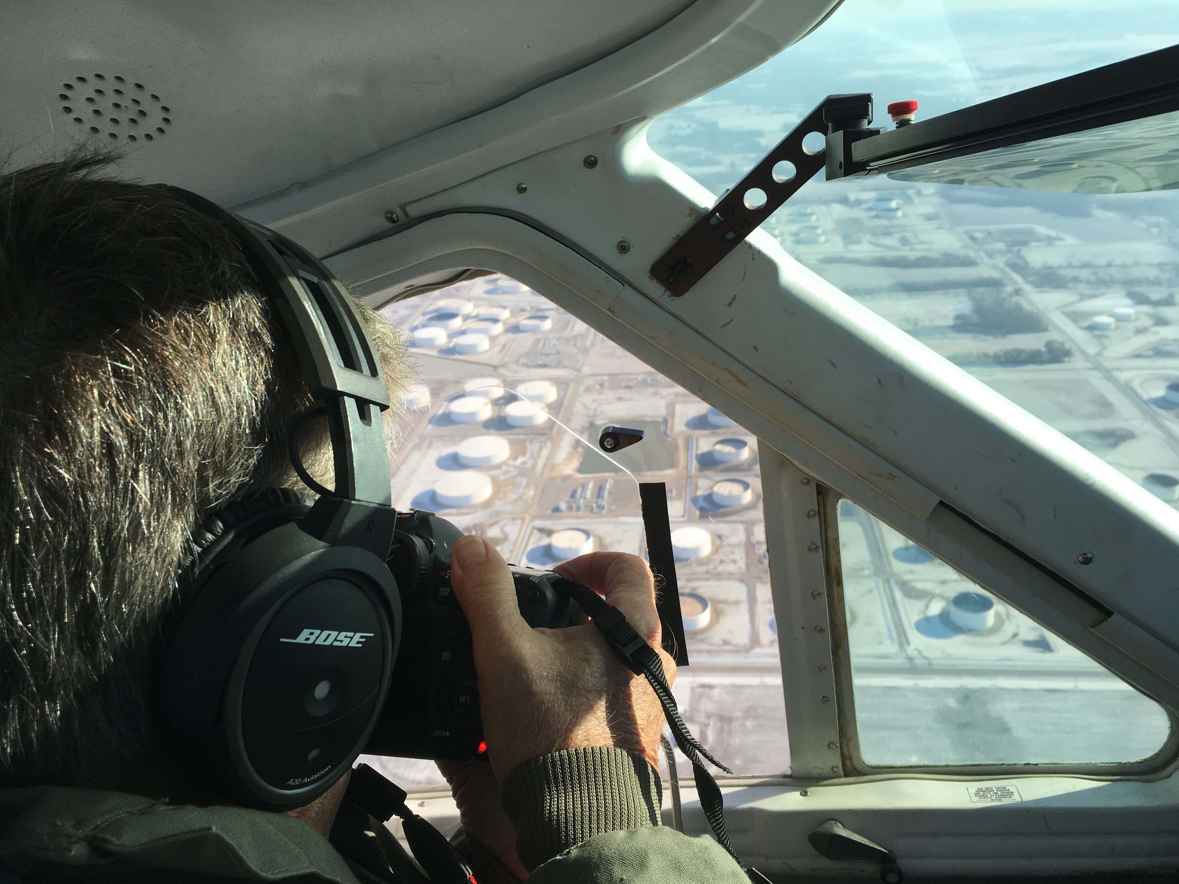
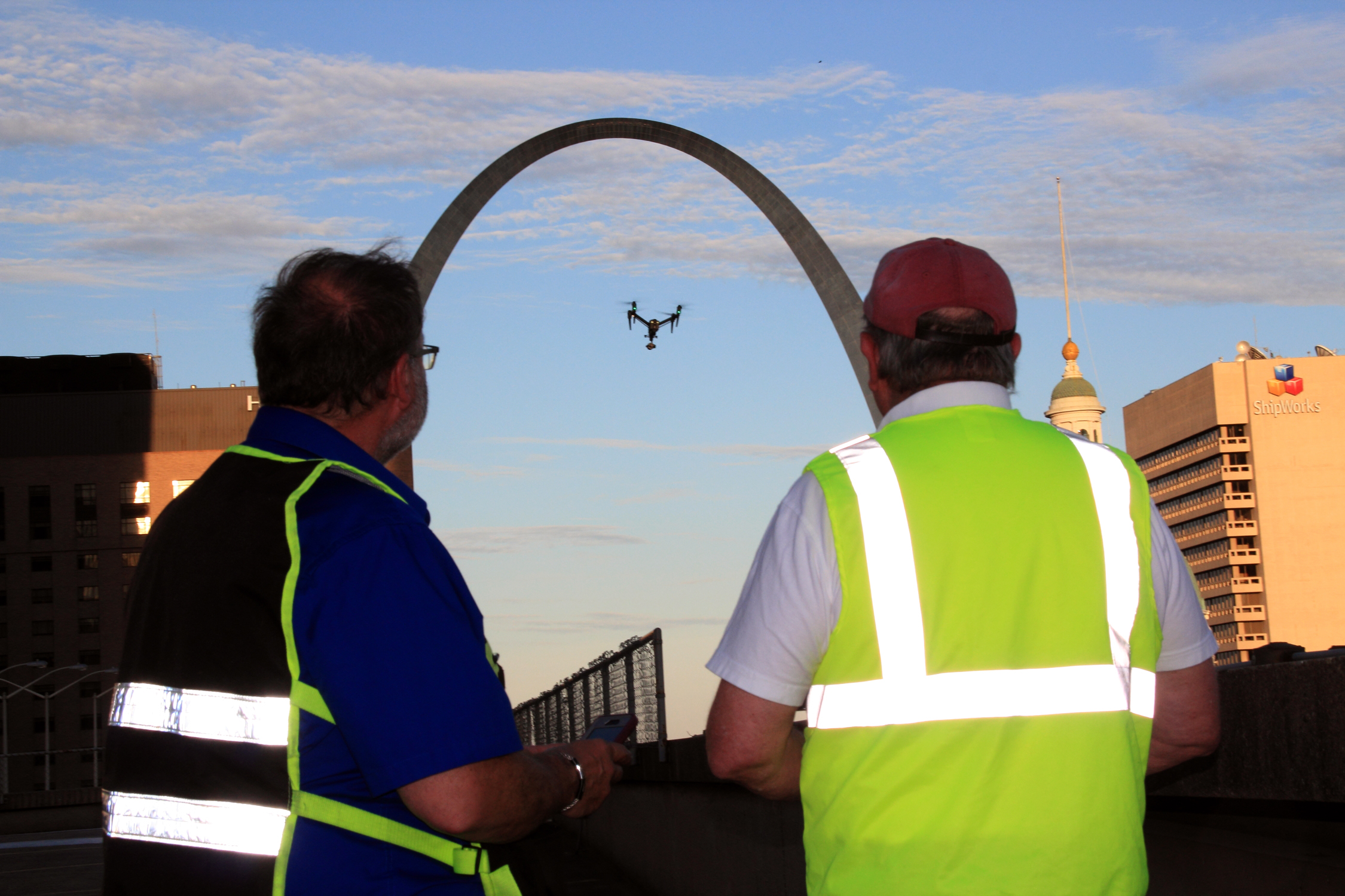
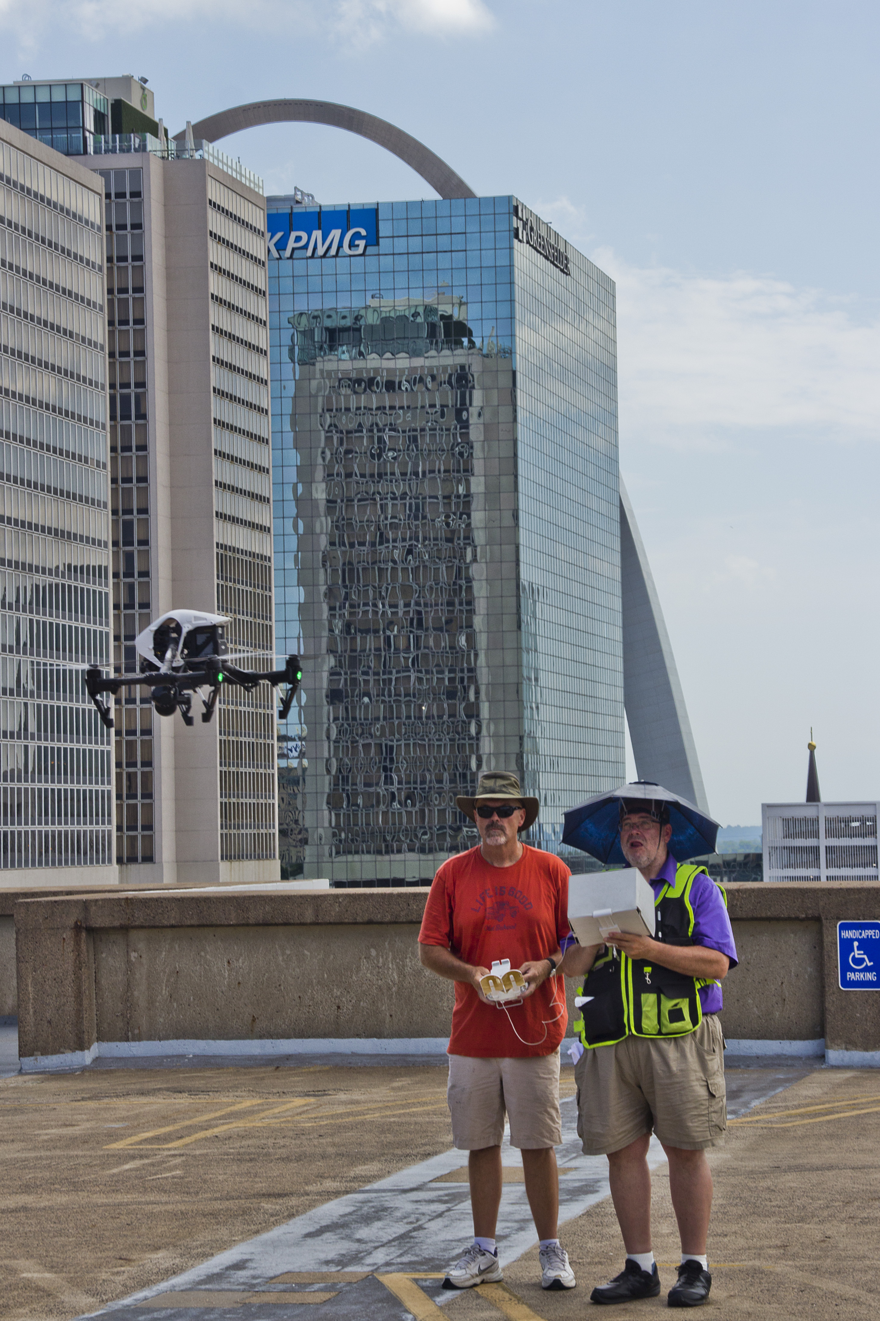
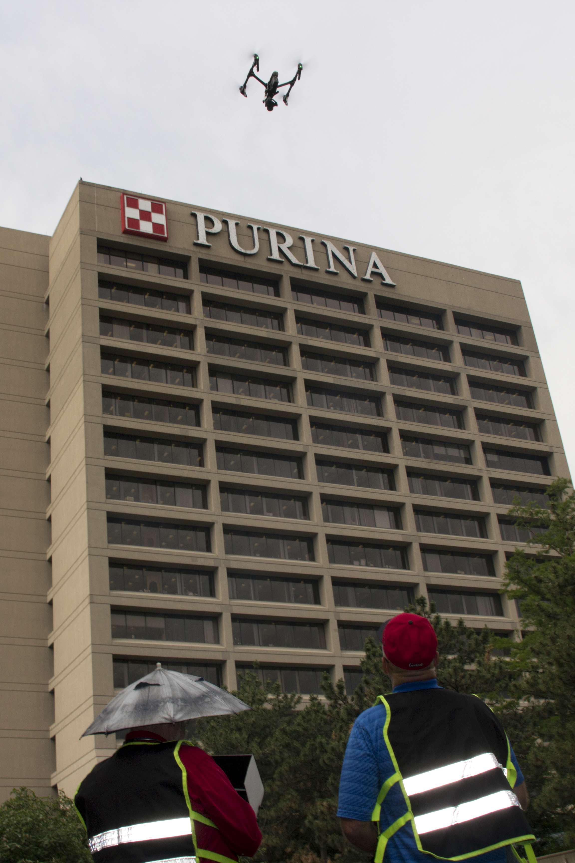
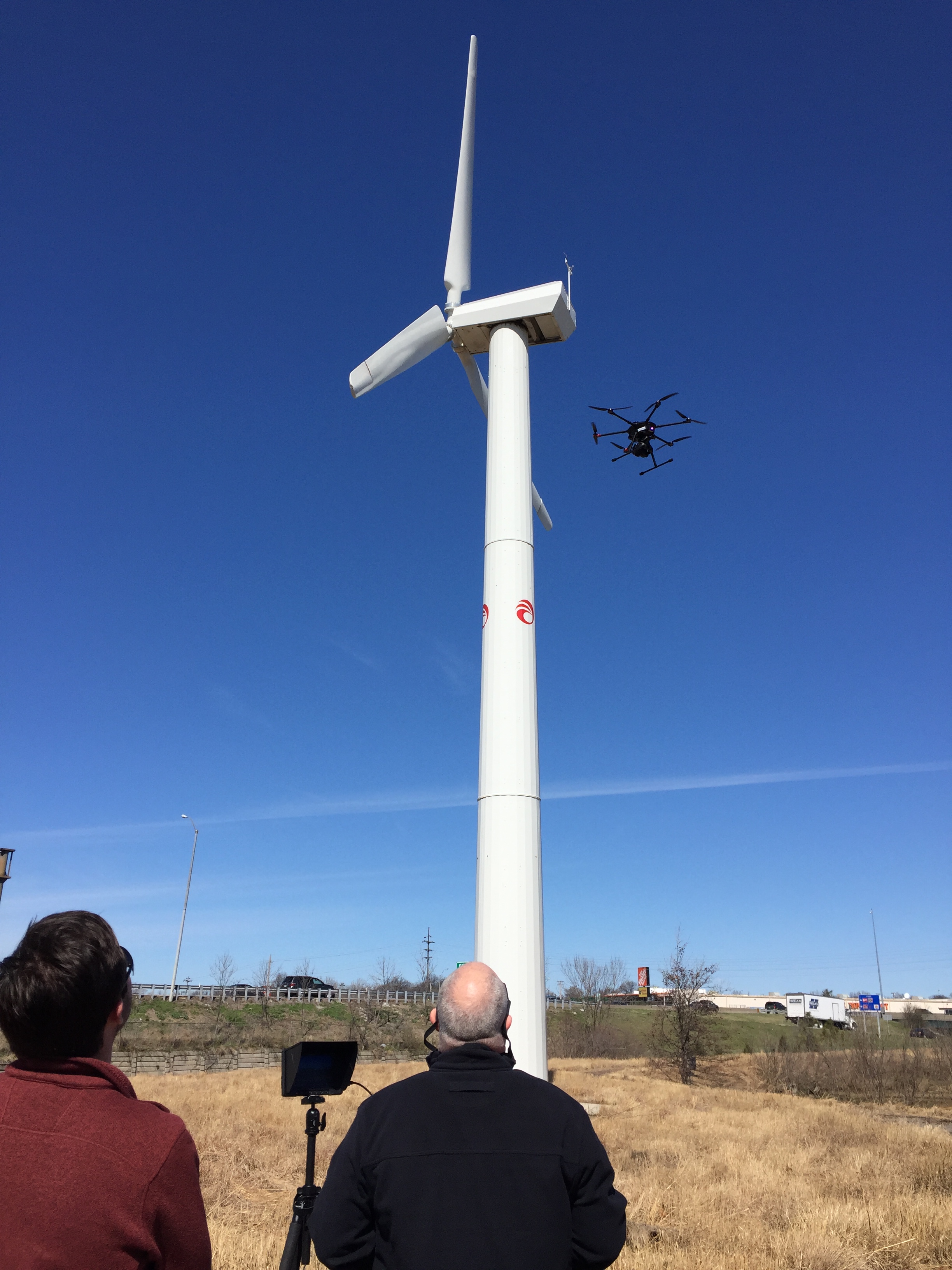
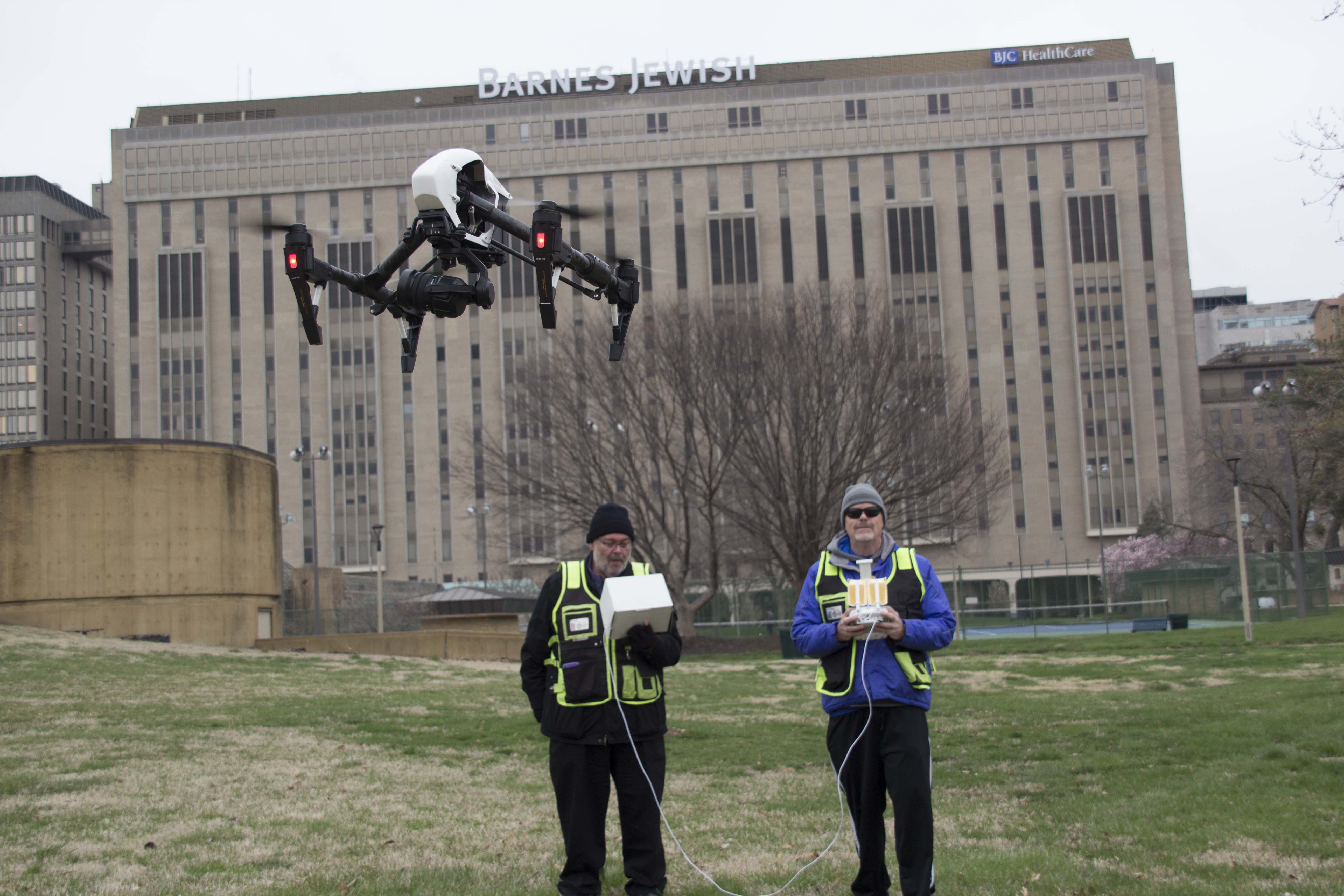
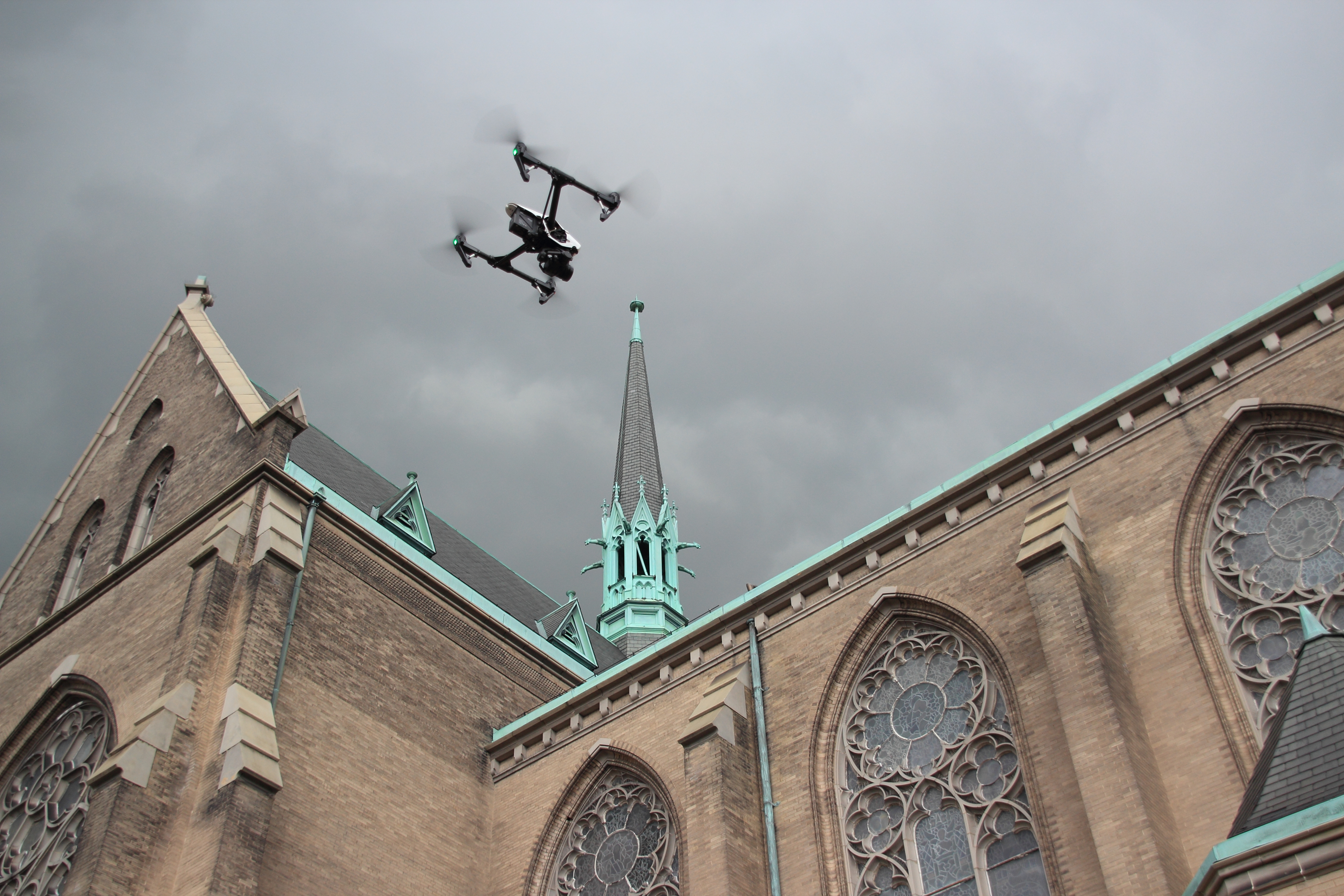
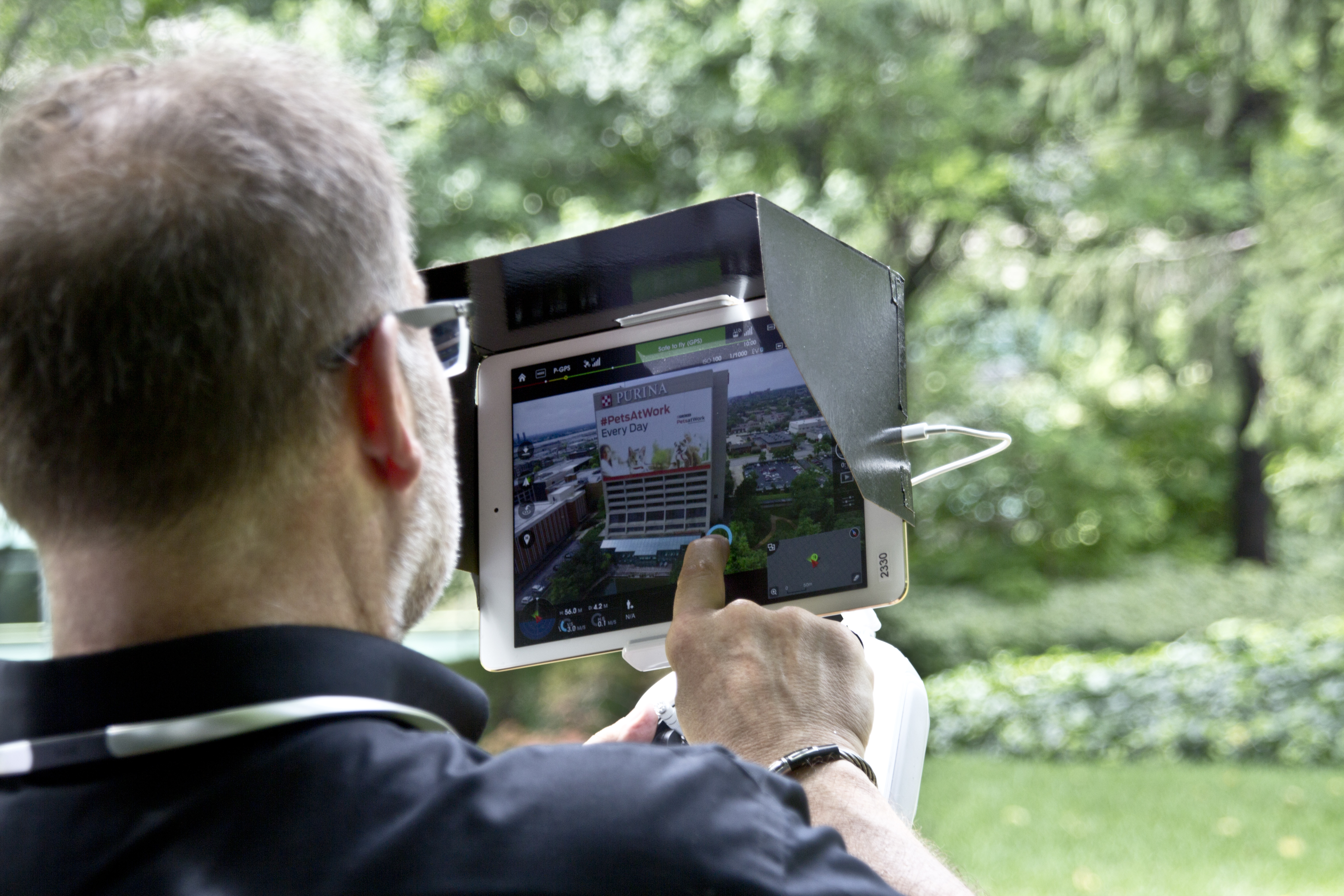
Drone technology has become a major asset for businesses and organizations that need to document, inspect, market, evaluate, or better understand property from above. For many projects, high-resolution aerial photography and video are the first step. They provide strong visuals, fast perspective, and a more complete view of a site than ground-based coverage alone.
But some projects require more than visuals.
They require measurable information, a deeper understanding of terrain and surface conditions, and a more technical view of what is happening across a property. That is where LiDAR drone services become especially important.
For companies and institutions throughout the St. Louis area, LiDAR offers a more advanced way to capture site data. It helps move aerial production beyond imagery alone and into a category of work that can support planning, analysis, operations, and long-term decision-making. When a project calls for more than an attractive overhead image, LiDAR can provide a much stronger foundation.
What LiDAR drone services are really designed to do
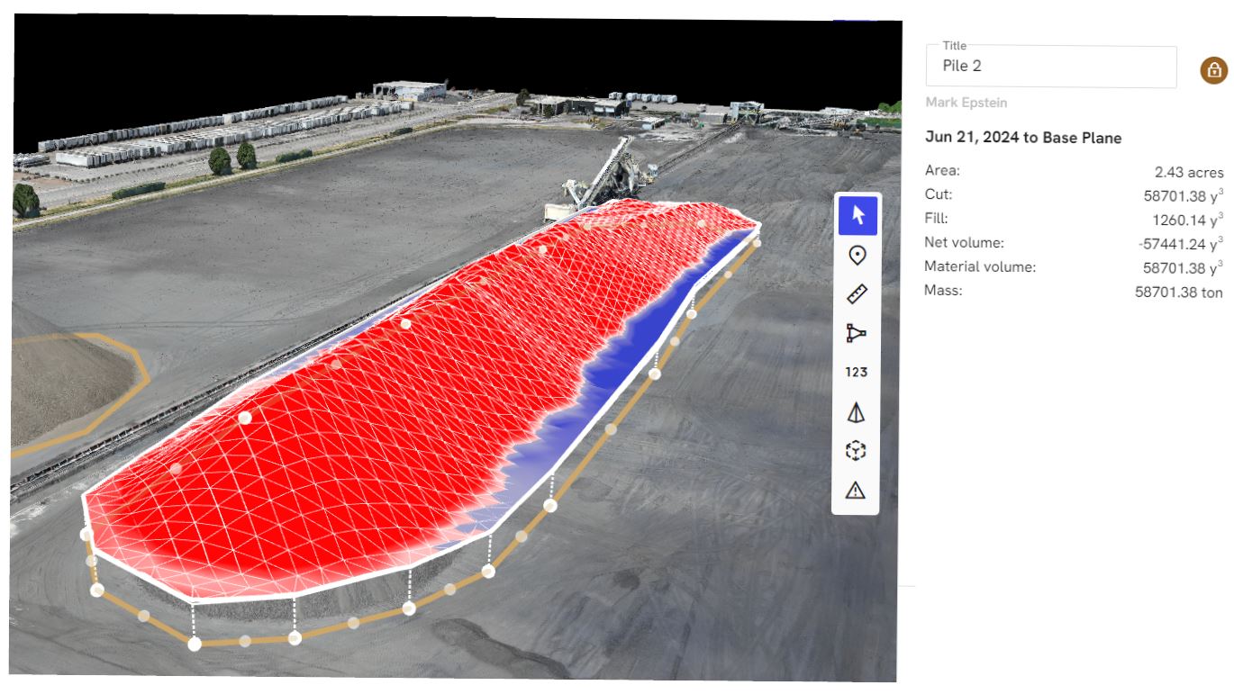
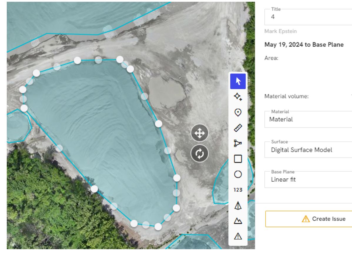
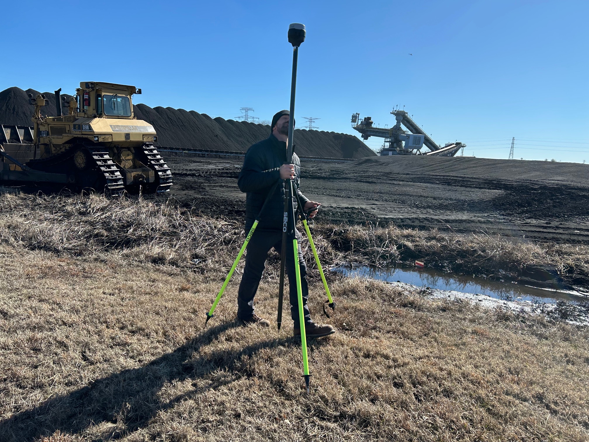
LiDAR, or Light Detection and Ranging, is a method of collecting spatial information using laser-based measurement. From a business standpoint, the value of LiDAR is not in the terminology. It is in the result. A LiDAR drone mission can help produce detailed three-dimensional information about a site, allowing organizations to better understand elevation, terrain, layout, surface relationships, and physical conditions across a property.
That makes LiDAR very different from a standard drone photo shoot.
Photography shows a site. LiDAR helps define it.
For many decision makers, that distinction is critical. Marketing teams may need compelling aerial visuals. Operations teams may need a better understanding of facility layout. Developers may need more detailed site intelligence. Property managers may need a more useful way to document existing conditions. In those situations, LiDAR shifts the value of drone work from simply capturing what is visible to collecting information that can actually guide decisions.
Why LiDAR drone services matter in St. Louis
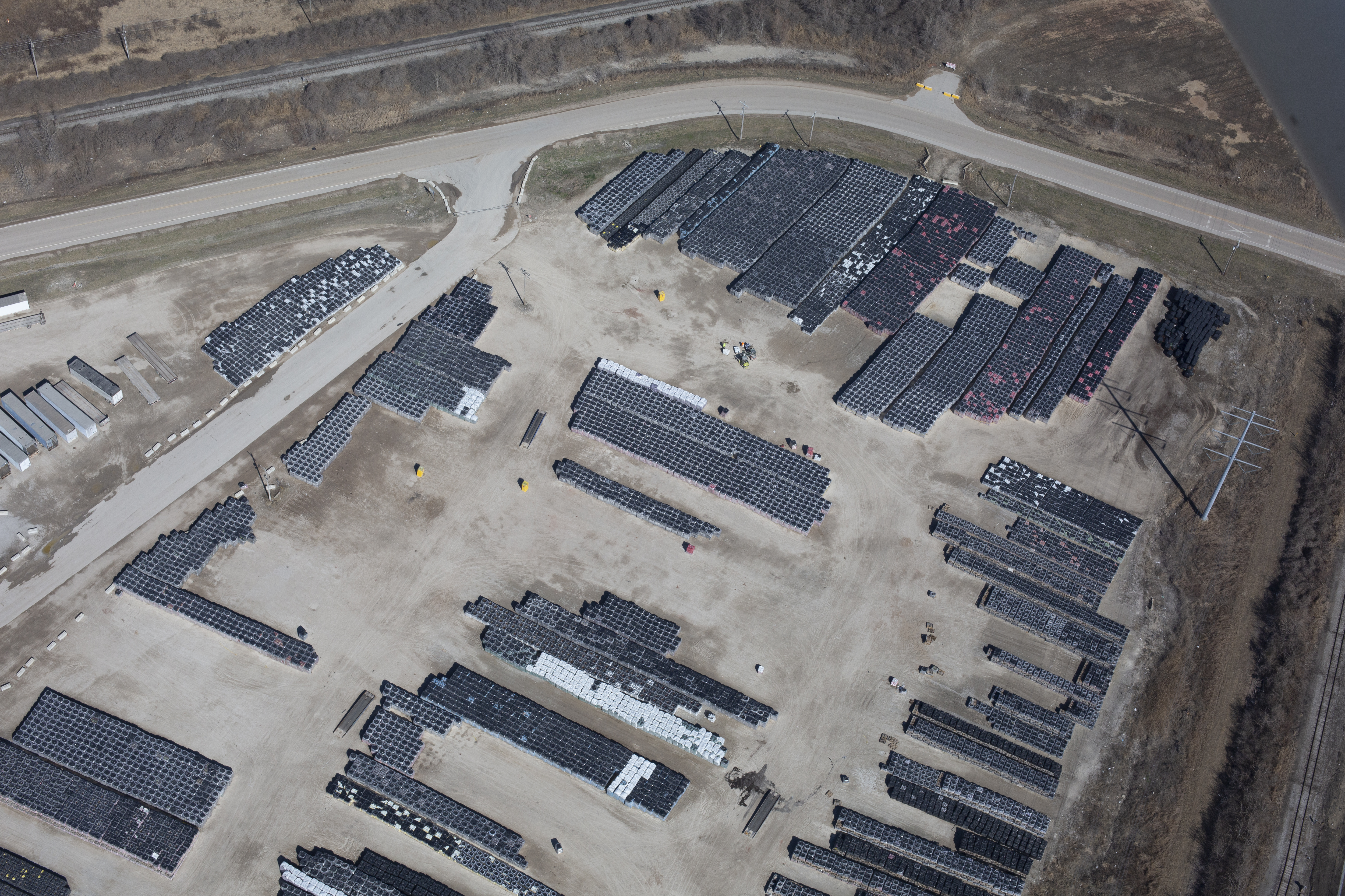
St. Louis is a strong market for advanced aerial services because the region includes such a wide variety of commercial, industrial, institutional, and development environments. Large sites, active facilities, construction projects, business campuses, utility corridors, industrial yards, and redevelopment properties all benefit from stronger site intelligence.
On many of these properties, the challenge is not getting a picture. The challenge is gaining a better understanding of the site itself.
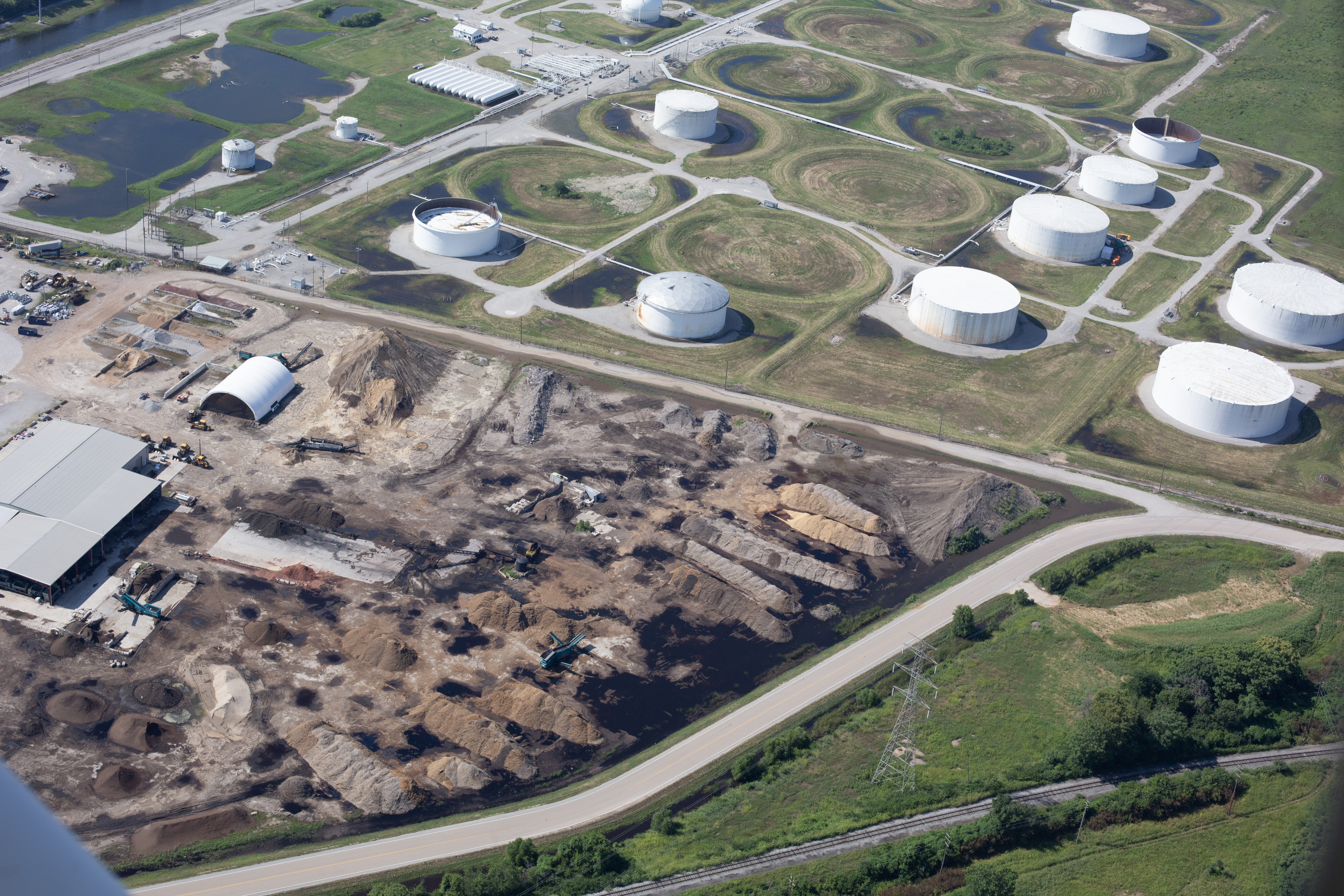
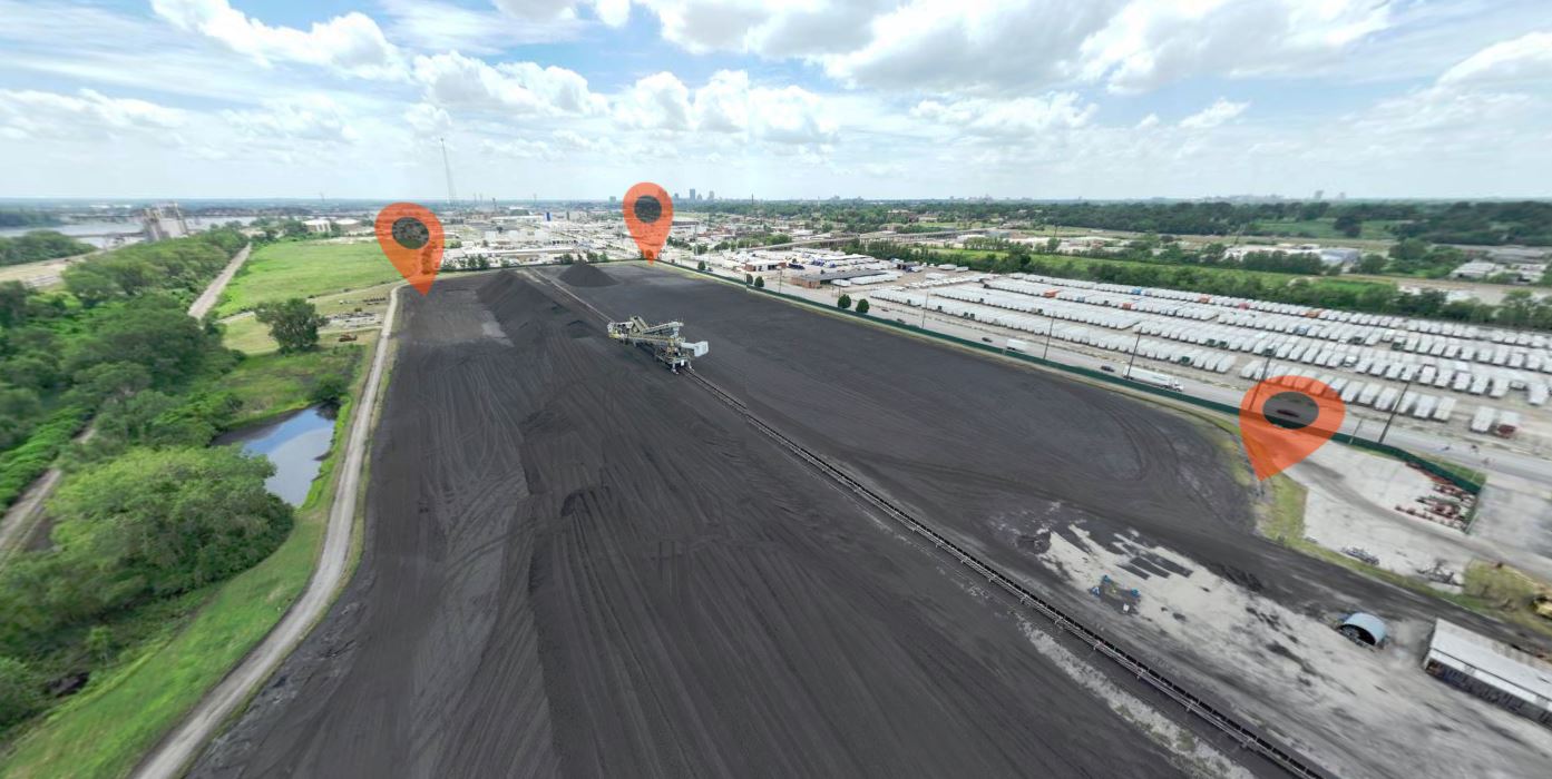
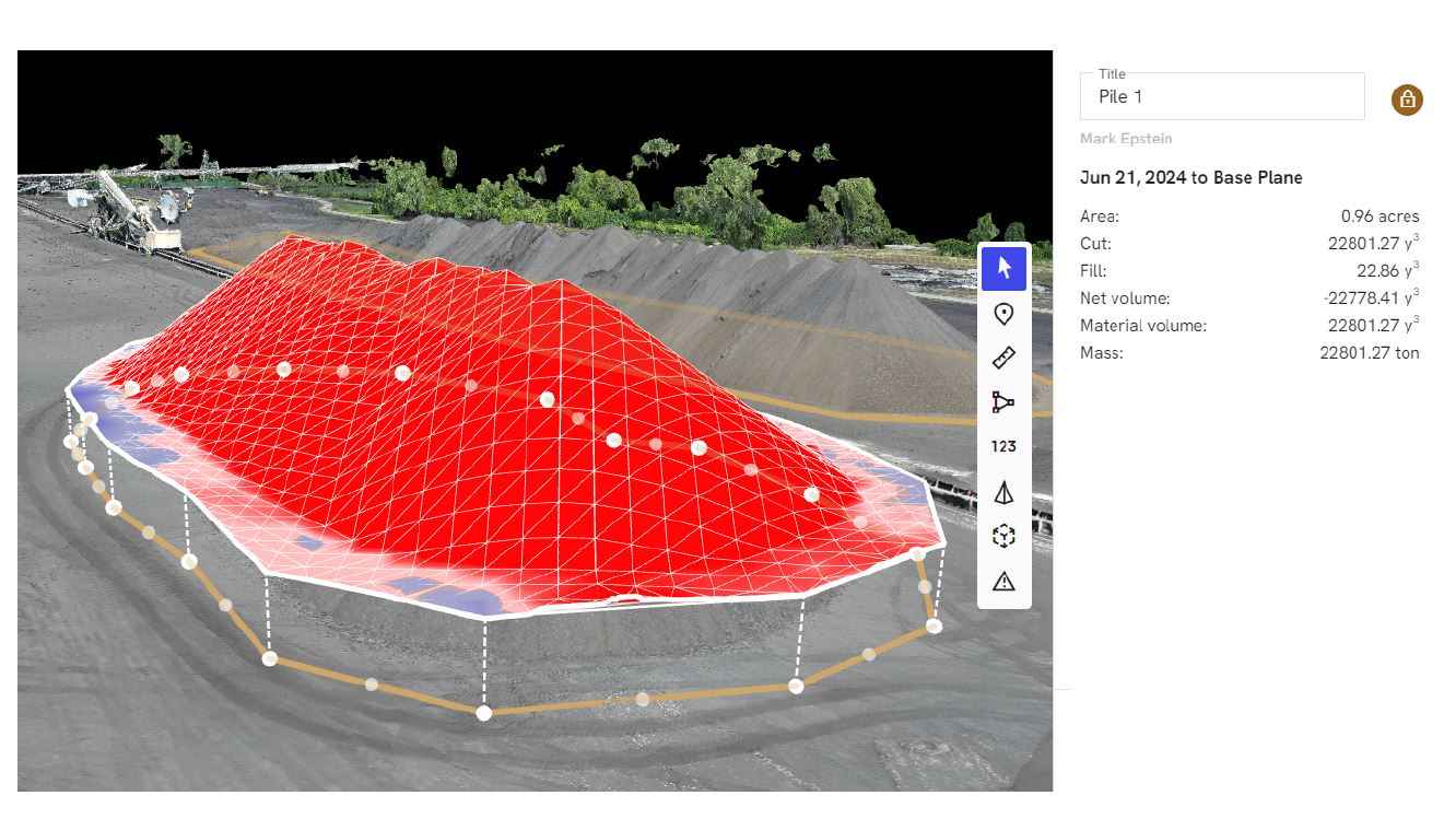
That may mean identifying changes in grade, evaluating drainage patterns, capturing surface conditions across a large parcel, measuring stockpiles, documenting property characteristics before construction, or creating a more accurate picture of a site for stakeholders who are not physically present. LiDAR helps address those needs by adding measurement-based aerial capability to the production process.
For St. Louis businesses, that can mean better planning, faster assessment, and more useful deliverables from a single aerial assignment.
When LiDAR is the right choice
Not every drone project needs LiDAR. In many cases, conventional aerial photography or video is the right and most efficient solution. But when a project depends on understanding elevation, topography, or physical relationships across a site, LiDAR can be the better tool.
It is particularly valuable on sites that are large, uneven, difficult to access, operationally active, or visually complex. It also makes sense when the client needs more than one department to benefit from the same data capture. Aerial imagery may serve marketing, while LiDAR supports planning or operational review. That type of overlap can create substantial value.
Some of the strongest uses for LiDAR include:
topographic understanding
terrain analysis
site planning
infrastructure documentation
roof and facility evaluation
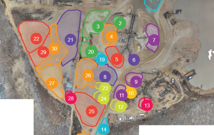
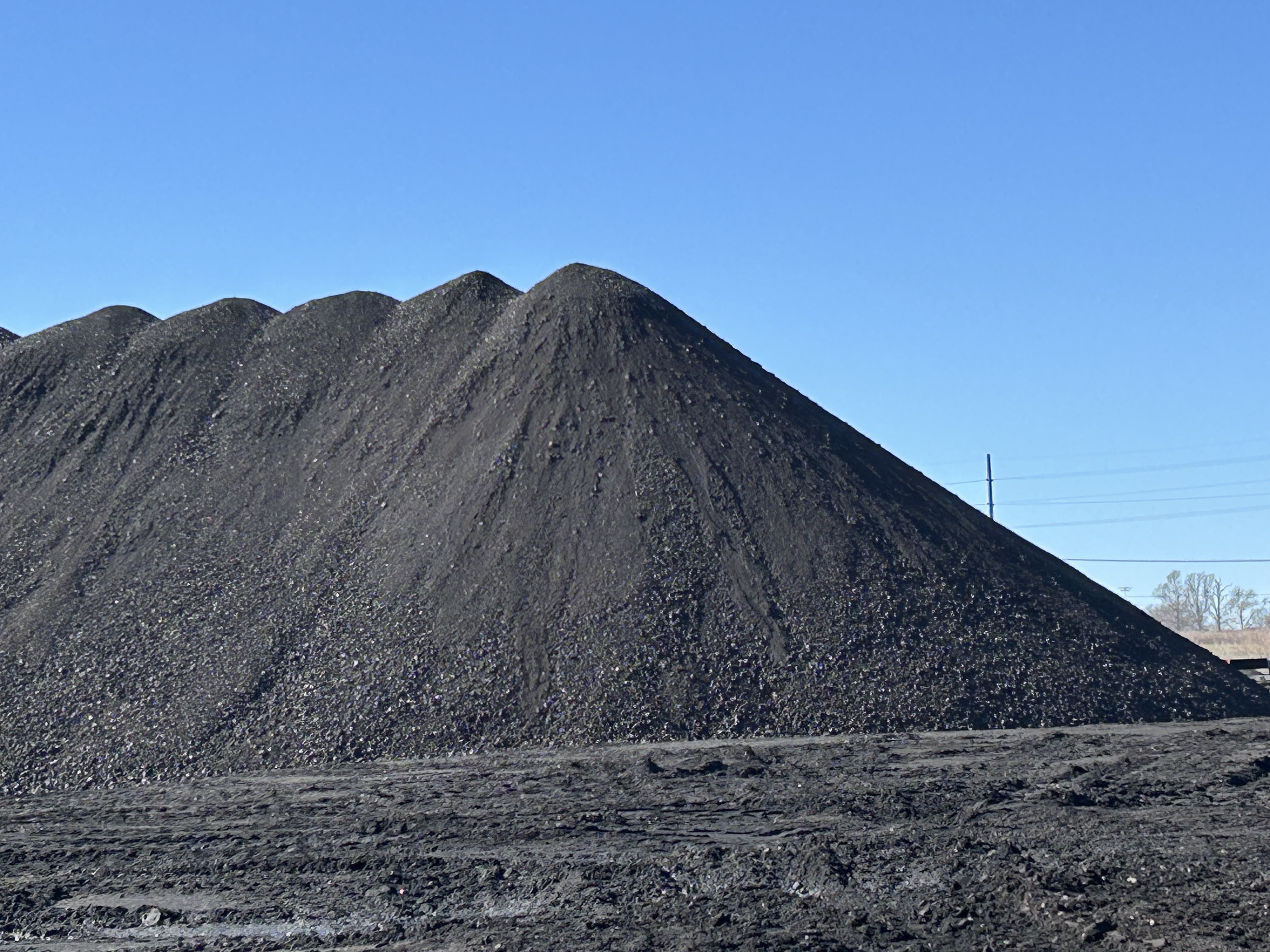
stockpile and volume-related projects
drainage review support
development and redevelopment planning
long-term property documentation
large-site change tracking
In each of these situations, the goal is not simply to create a visual record. The goal is to capture information that helps reduce uncertainty.
The business value of better aerial data
For decision makers, the real question is always practical: what does this help us do better?
LiDAR helps businesses make more informed judgments about site conditions, layout, and physical constraints. It can improve communication among stakeholders, create a stronger base for planning, and provide documentation that is useful beyond a single meeting or project phase. It also gives organizations a way to gather wide-area information efficiently without depending solely on time-consuming ground observation.
That efficiency can be especially important when a site is difficult to evaluate from street level or when the same property must be reviewed by multiple teams with different priorities. One aerial data capture can often support internal management, outside consultants, presentations, and long-term documentation needs at the same time.
That is why LiDAR is best understood not as a technical novelty, but as a practical business tool.
Why experience matters more than equipment alone
LiDAR is specialized, but the success of a project is not determined by hardware alone. The outcome depends heavily on how the assignment is planned, how the site is approached, how the capture is executed, and how the final deliverables are prepared.
That means clients need more than a drone pilot. They need a production partner who understands workflow, communication, and the purpose behind the project.
A strong LiDAR provider thinks through the use case before the flight begins. What does the client need to learn from the site? Who will use the outputs? How will the material be applied after capture? Will the project also require photography, video, or interview support for broader communication goals? Can the aerial mission serve multiple needs at once?
Those questions are what separate a basic operator from a more complete production company.
LiDAR works best when integrated into a larger media strategy
One of the biggest advantages of working with a full-service production team is that LiDAR does not have to stand alone. Many businesses need technical aerial capability and polished media assets from the same assignment.
For example, a company may need LiDAR to better understand a property, but also want branded aerial photography for a website, video clips for presentations, or ground-based images for proposals and reporting. Instead of treating each of those needs as separate productions, they can often be combined into a more efficient and more cohesive workflow.
That matters to marketing directors, facilities managers, project leaders, and business owners who want every production day to generate more usable material. It also improves consistency across the final outputs because the same team is thinking about both technical and visual objectives from the beginning.
Choosing the right drone partner in St. Louis
When evaluating LiDAR drone services, businesses should look beyond generic claims and broad equipment language. The more important issues are experience, adaptability, deliverables, and production support.
A capable team should understand the business context, not just the flight request. They should know how to operate in real commercial environments, how to coordinate with client needs, and how to produce assets that are useful long after the drone is packed away. They should also understand that many organizations need deliverables that work for more than one audience, including operations, leadership, marketing, and outside partners.
That is especially true in St. Louis, where projects often involve a mix of practical site concerns and the need for polished business communication.
Why St Louis Drone Services is equipped for LiDAR drone work
At St Louis Drone Services, we understand that professional drone production has to deliver more than a good view. It has to provide useful results, reliable execution, and media assets that support real business goals. That is why our aerial work is grounded in both technical capability and full-service production experience.
St Louis Drone Services is a full-service professional commercial photography and video production company with the right equipment and creative crew service experience for successful image acquisition. We offer full-service studio and location video and photography, as well as editing, post-production and licensed drone services. St Louis Drone Services can customize your productions for diverse types of media requirements. Repurposing your photography and video branding to gain more traction is another specialty.
We are well-versed in all file types and styles of media and accompanying software. We use the latest in Artificial Intelligence for all our media services. Our private studio lighting and visual setup is perfect for small productions and interview scenes. Our studio is large enough to incorporate props to round out your set. We support every aspect of your production—from setting up a private, custom interview studio to supplying professional sound and camera operators, as well as providing the right equipment—ensuring your next video production is seamless and successful. We can fly our specialized drones indoors.
As a full-service video and photography production corporation, since 1982, St Louis Drone Services has worked with many businesses, marketing firms and creative agencies in the St. Louis area for their marketing photography and video. When your project calls for advanced aerial coverage, LiDAR capability, and a team that understands how to combine technical drone services with polished production support, St Louis Drone Services brings the experience, flexibility, and creative depth to help you get the most from every assignment.
