Drone video used to be a “nice-to-have” line item—something you’d add when there was extra room in the budget. That era is over. Today, aerial content is one of the most efficient ways to communicate scale, context, and credibility in seconds. The real question isn’t whether your organization should use drone video—it’s how to use it economically, safely, and strategically so it produces measurable marketing value.
This guide is written for decision makers who need high-impact visuals, predictable costs, and deliverables that integrate cleanly into campaigns, websites, internal communications, and sales enablement.
Why drone video is one of the most cost-effective “production upgrades”
When budgets tighten, teams often reduce production scope: fewer locations, shorter shoot days, less crew, less gear. Drone video can do the opposite—it can increase perceived production value while reducing time spent “manufacturing” scale with traditional camera setups.
Here’s what drone content replaces or improves economically:
- Eliminates expensive access solutions in many cases (boom lifts, cranes, specialty rigs) for establishing shots.
- Compresses storytelling time by showing location, facility scale, or site logistics instantly.
- Generates multiple assets per flight (hero video, social cutdowns, still frames, backgrounds for graphics, web headers, campaign openers).
- Adds credibility to operational claims: footprint, safety culture, process complexity, capacity, modernization, or community impact.
If you’ve ever watched a team burn two hours getting one “good establishing shot” from the ground, you already understand the economics.
What “economical” drone video actually means
“Economical” is not synonymous with “cheap.” Cheap drone video is what happens when someone shows up with a consumer drone, flies a few random passes, and hands you shaky clips that don’t match brand standards, color, cadence, or usage needs.
Economical drone video means:
- Clear deliverables (what you’ll receive and how it will be used).
- Efficient planning (minimal surprises, controlled variables).
- Right-sized crew and gear (no overbuild, no underbuild).
- High keeper rate (more usable shots per hour).
- Repurposable outputs (assets built for multiple channels and formats).
That’s the difference between “we shot drone” and “we produced aerial media.”


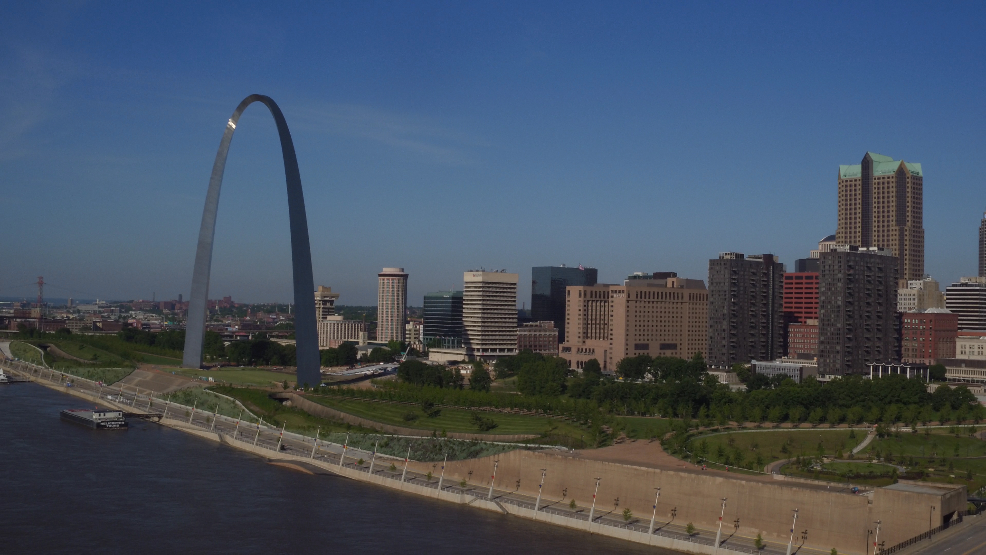
The highest-ROI use cases for St. Louis businesses and organizations
Some drone shoots are “cool.” The following are consistently useful, which is what makes them economical.
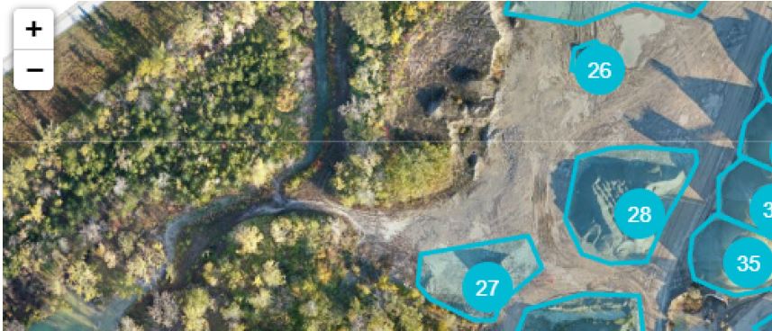
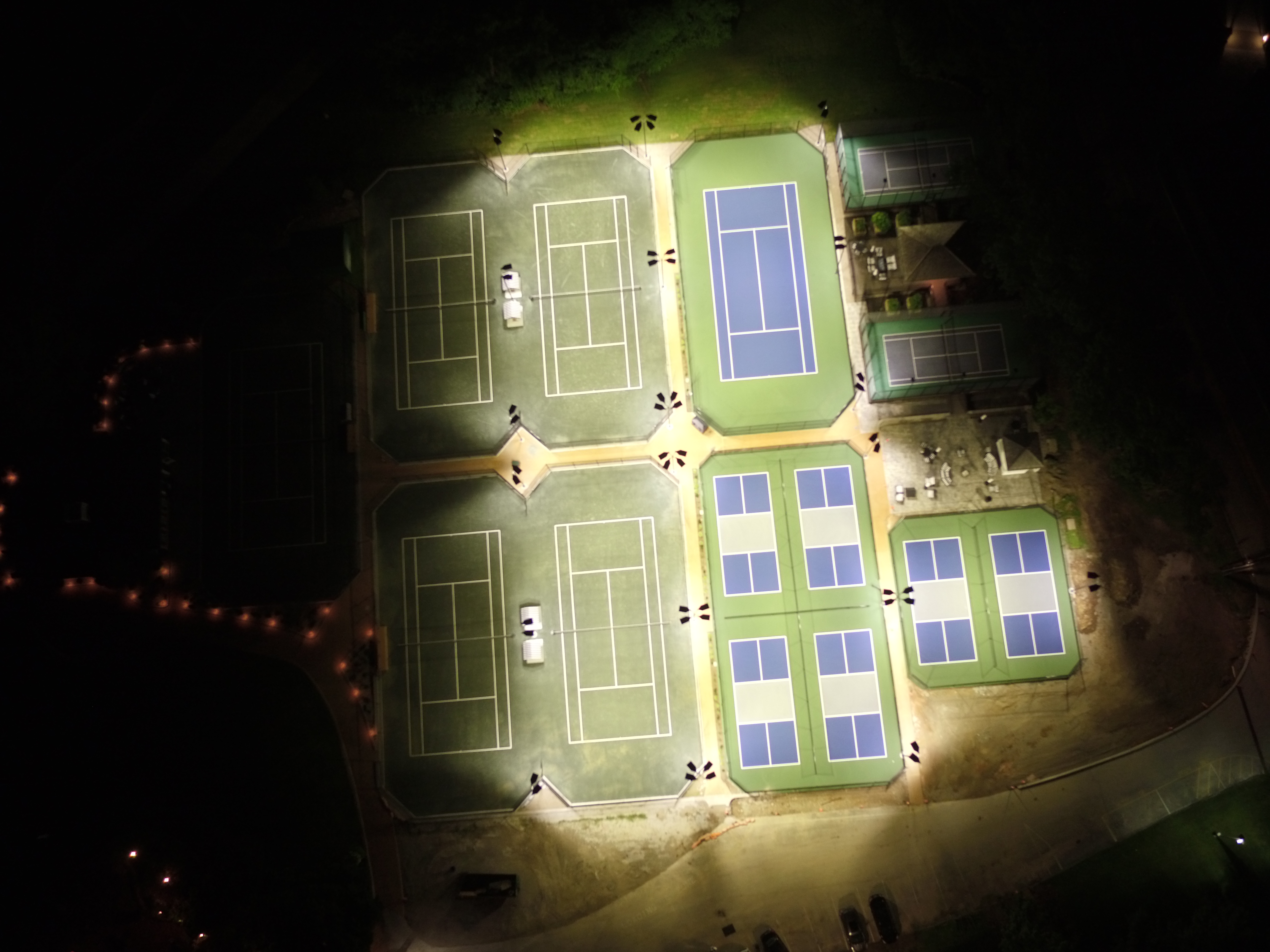
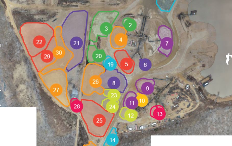
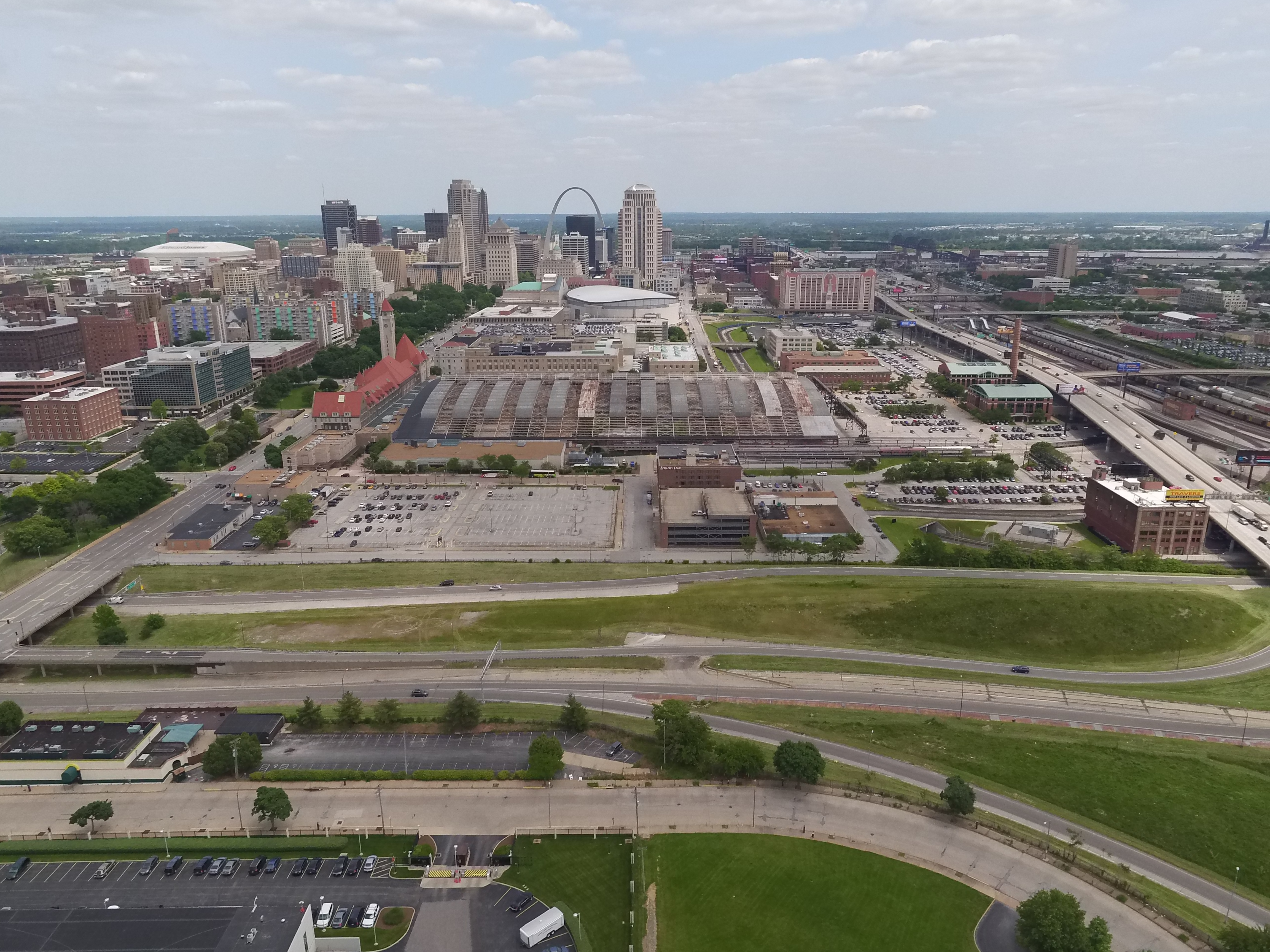
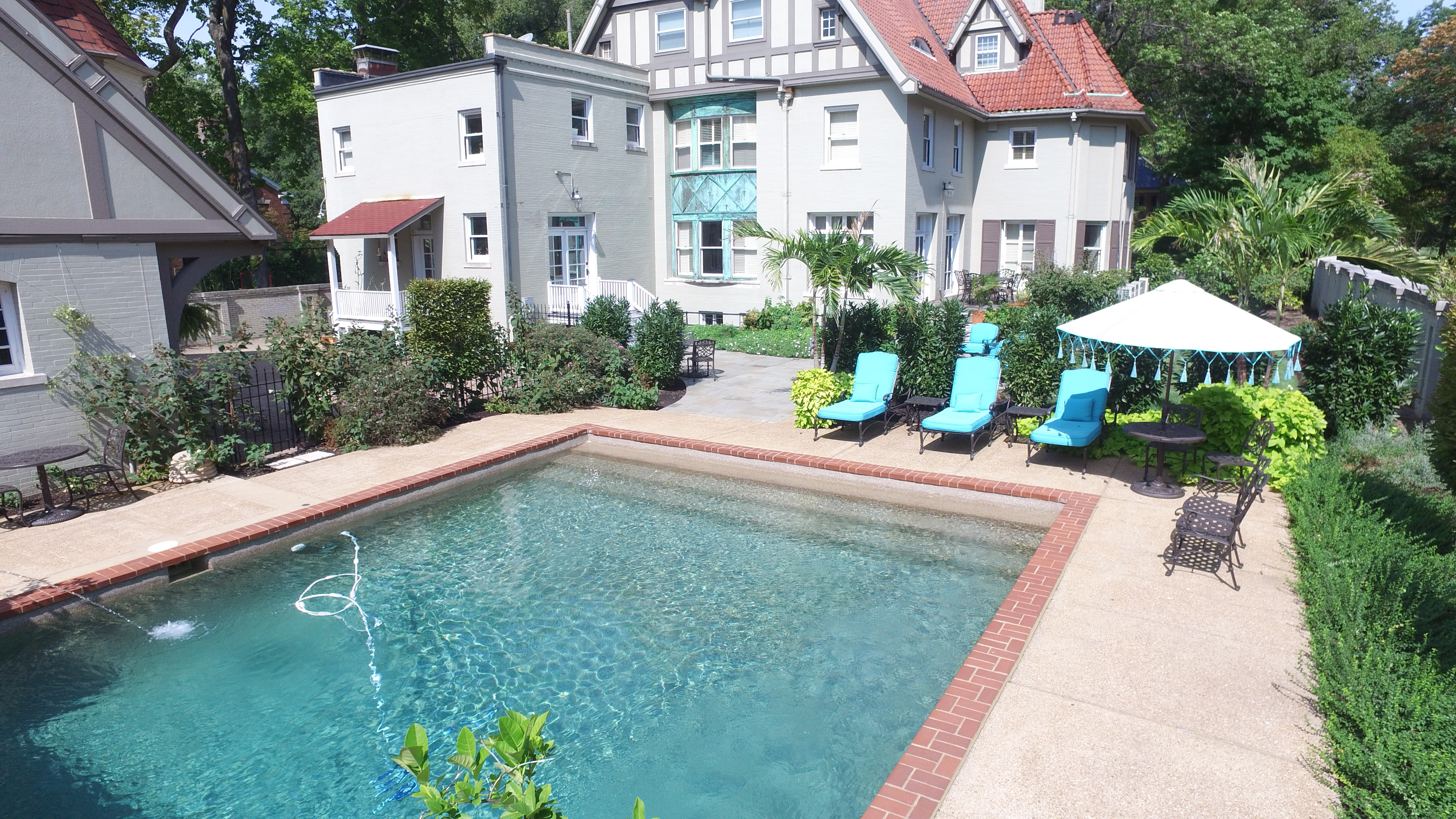
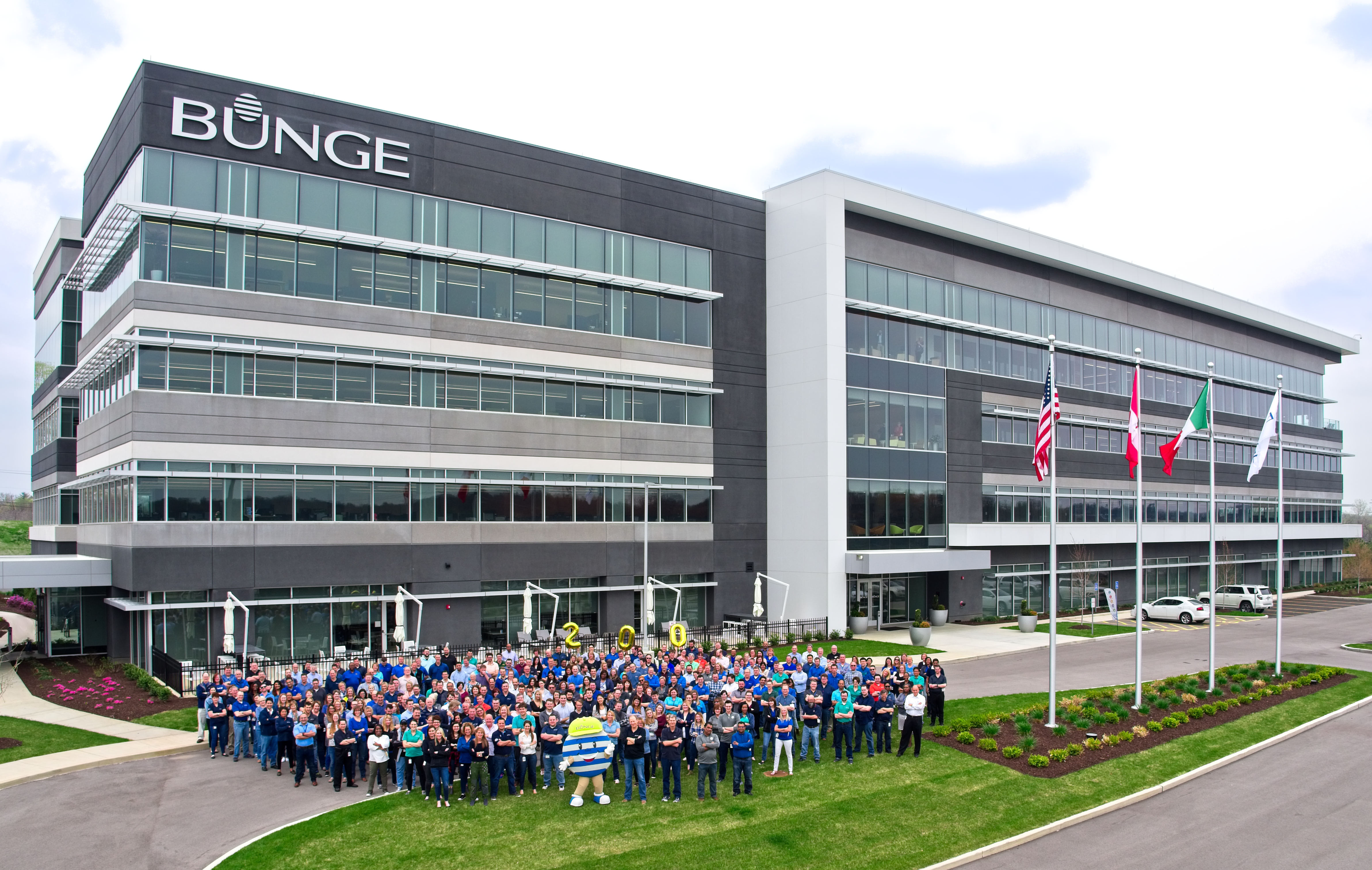
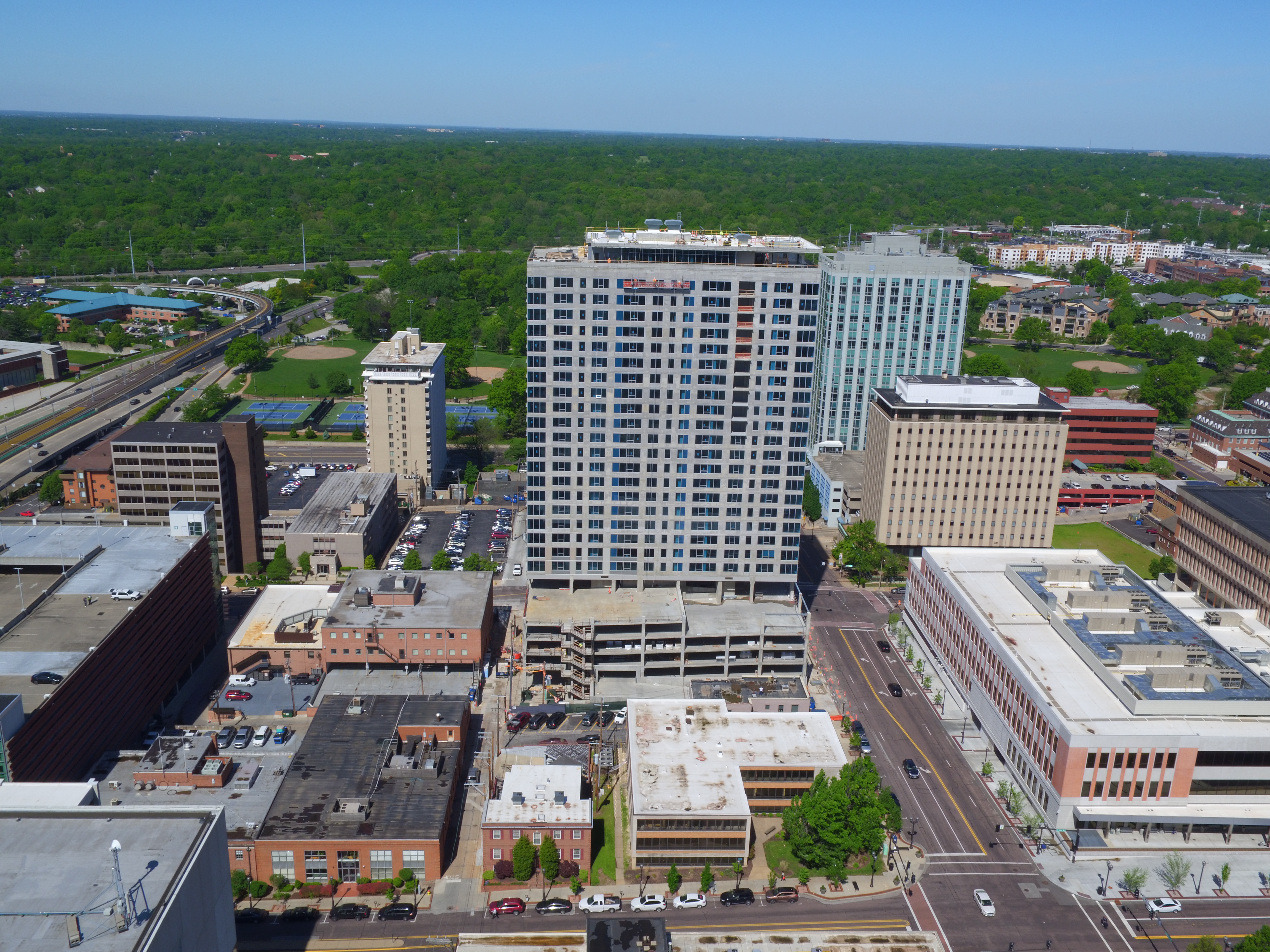
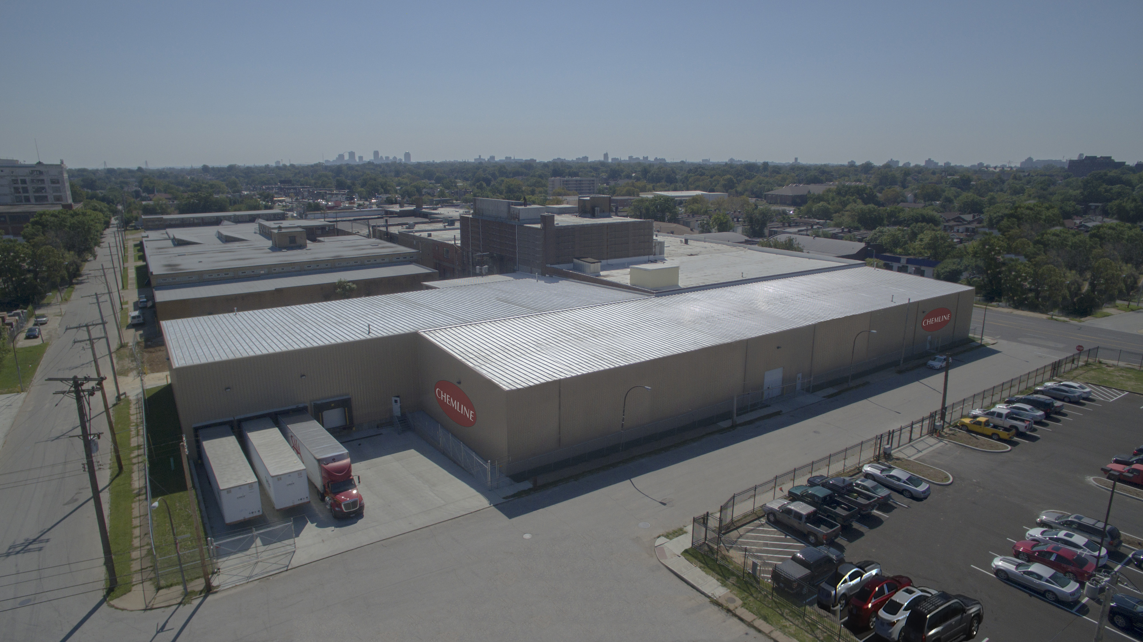
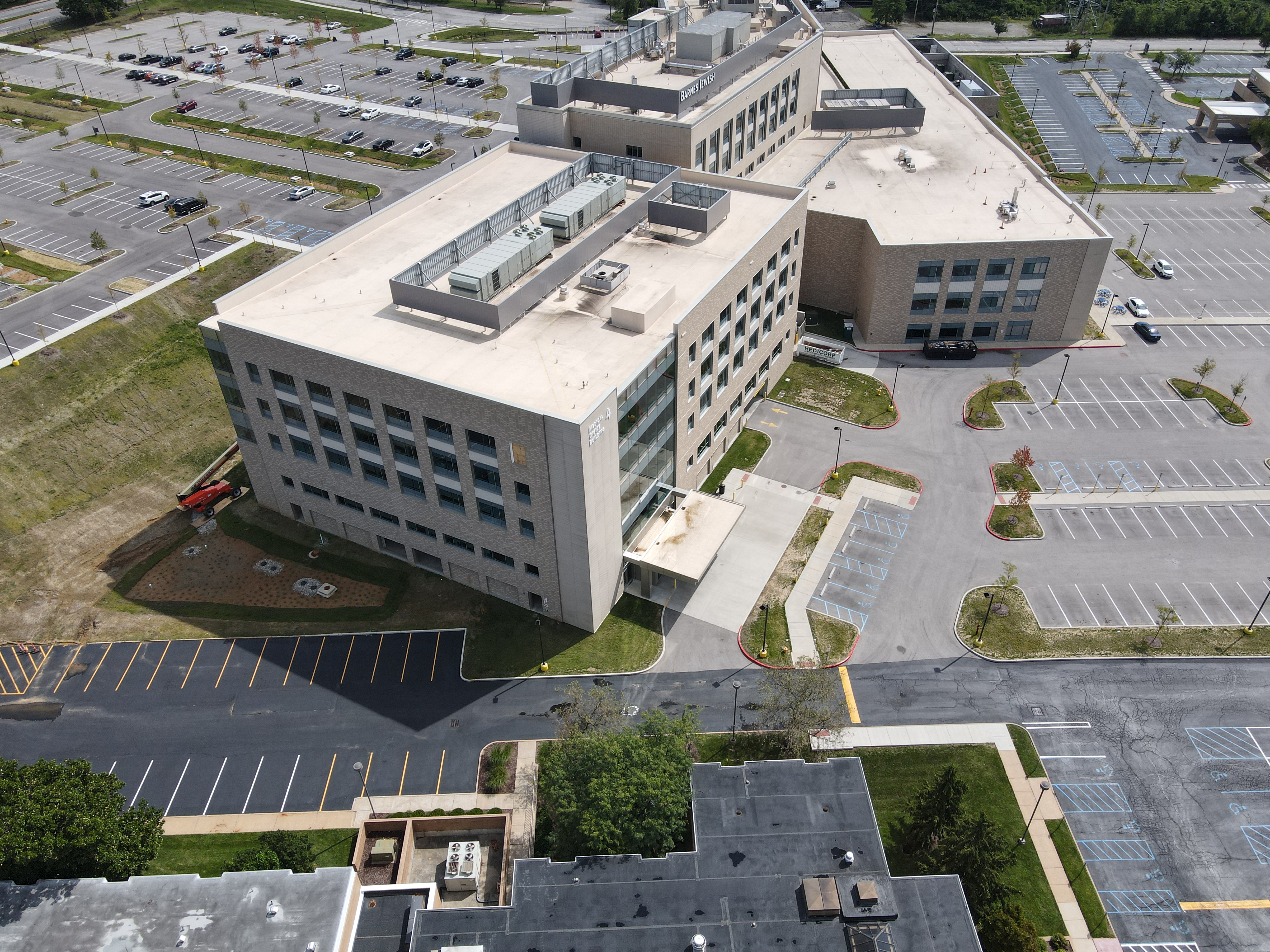
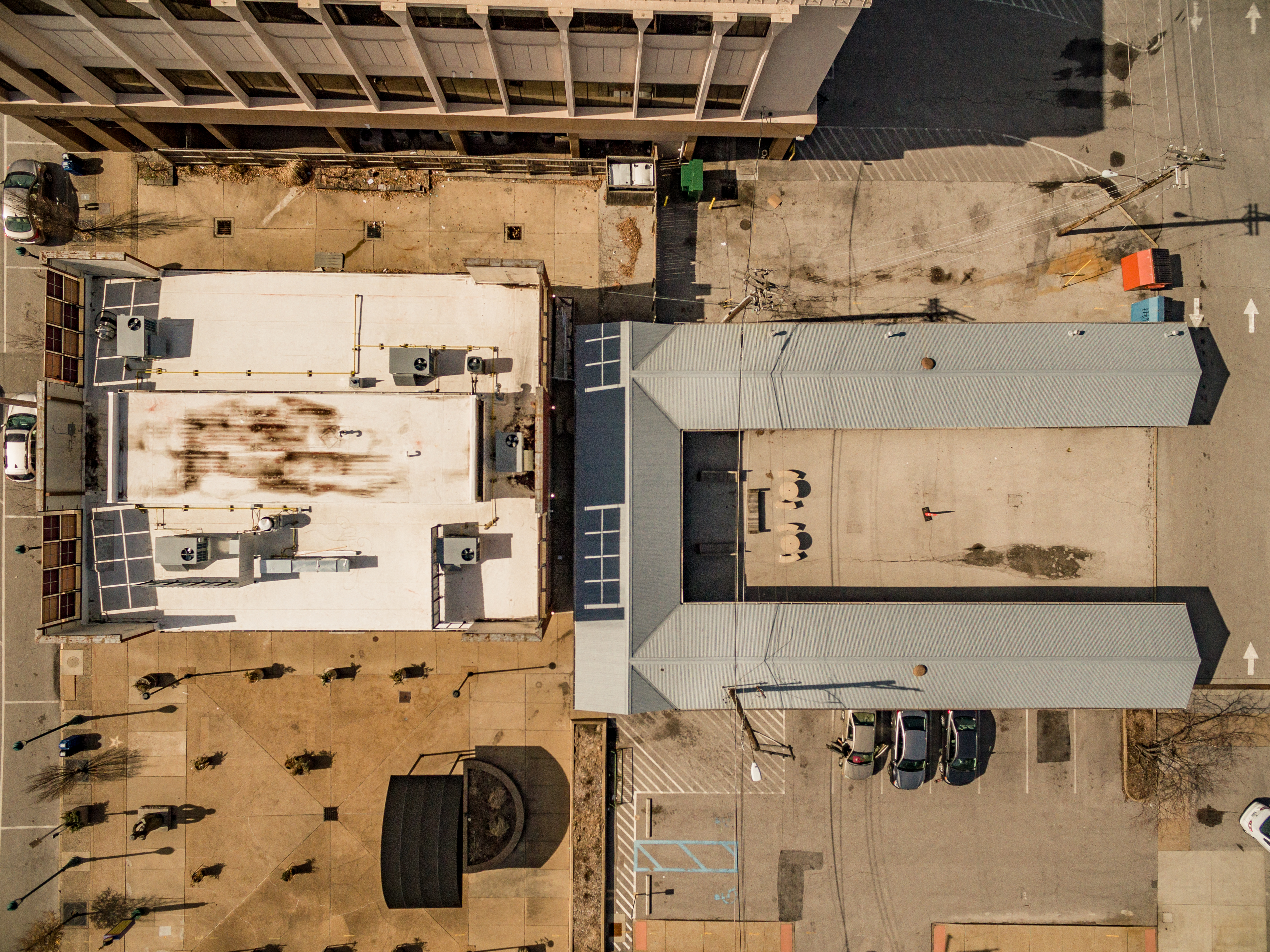
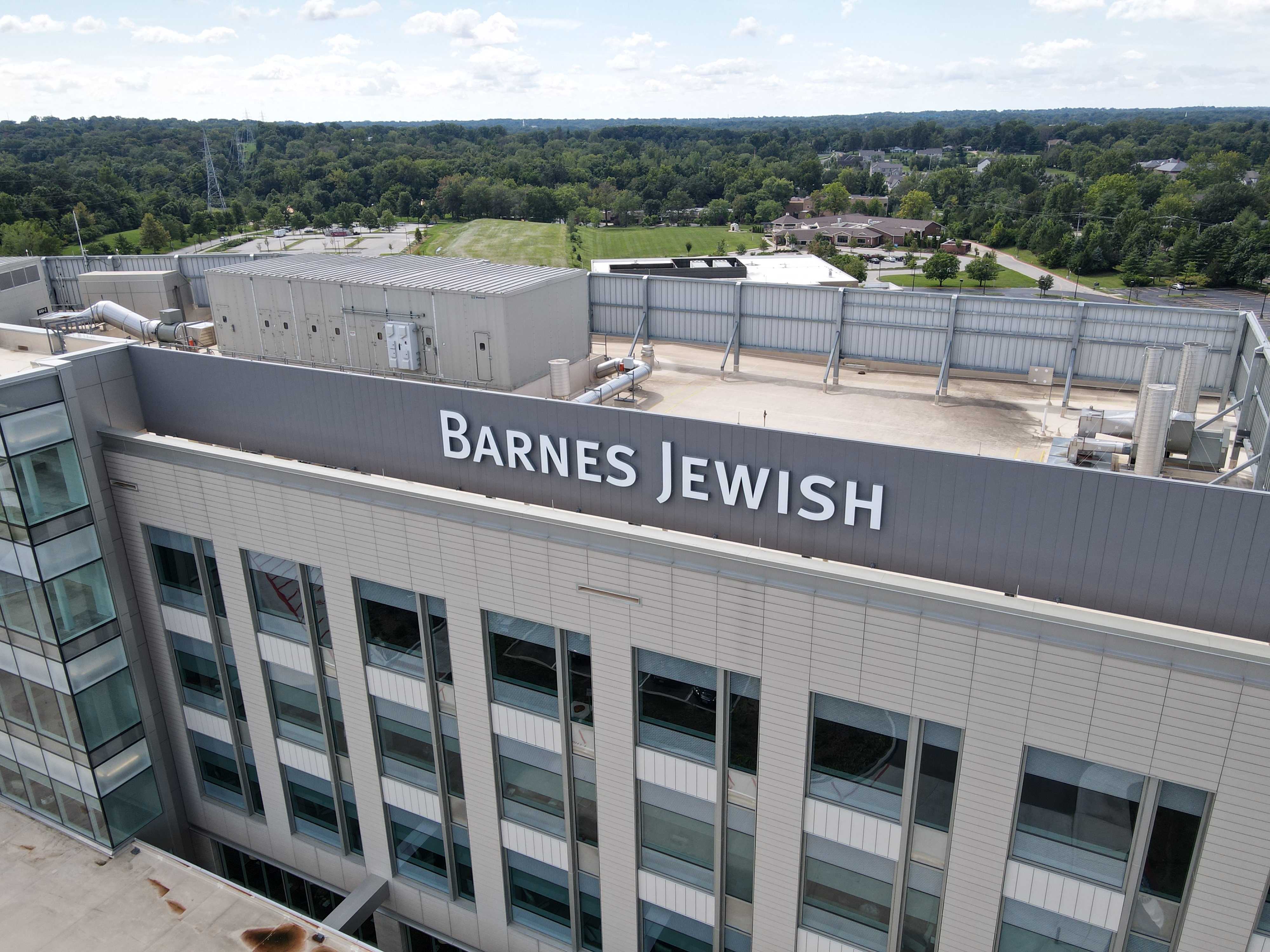
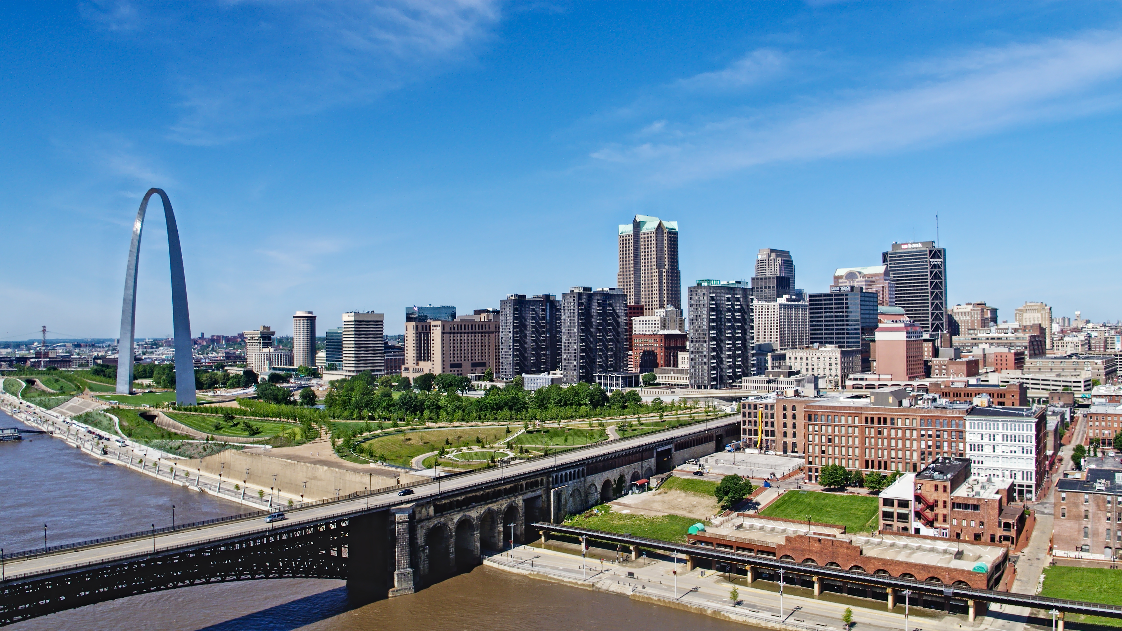
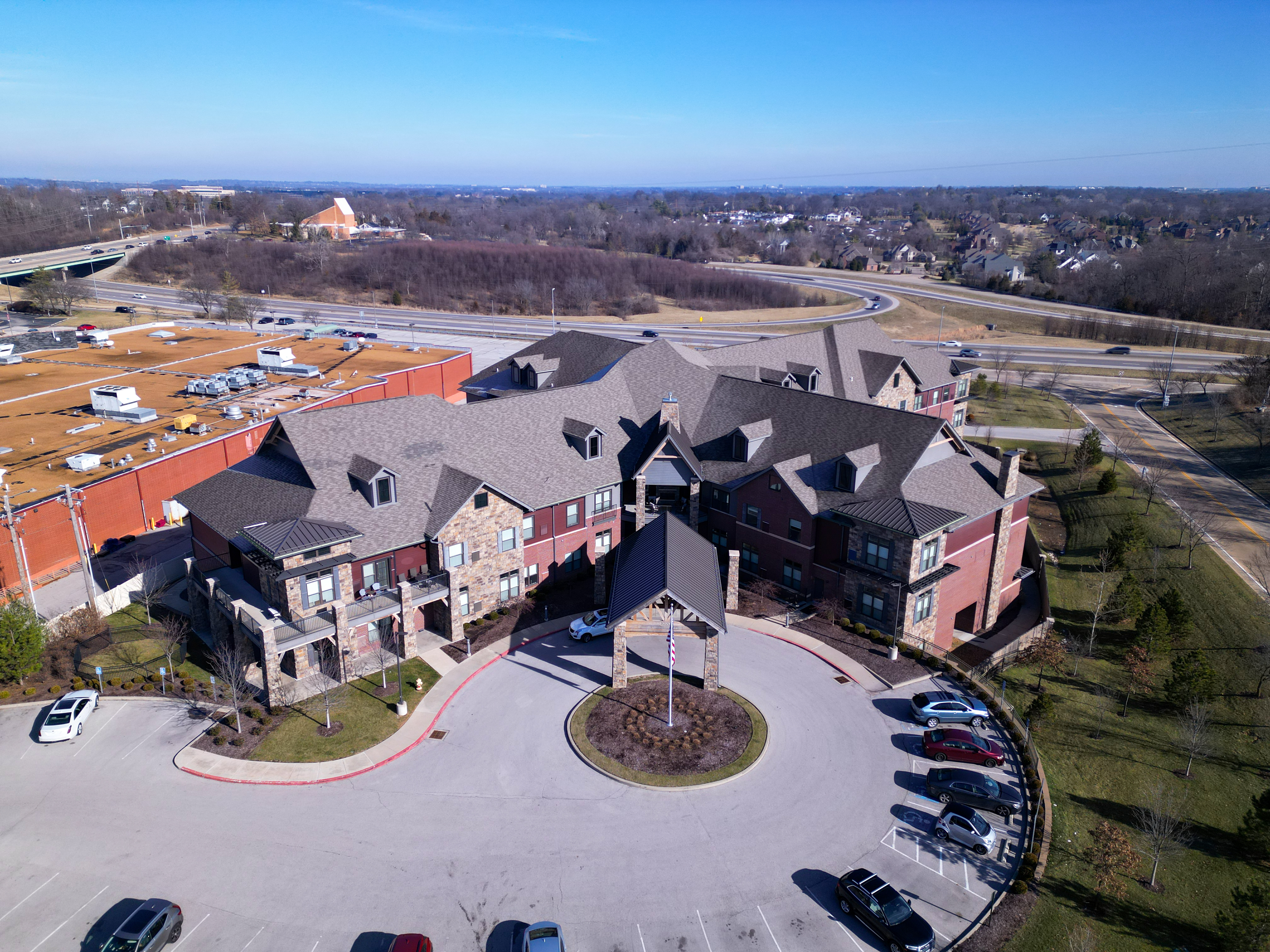
1) Facilities and campuses: scale, access, and trust
For manufacturers, logistics, healthcare networks, universities, and corporate campuses, drone video provides instant context. It shows:
- operational footprint
- proximity to highways/rail/river infrastructure
- facility modernization
- security, access points, and flow
A single 10–15 second sequence can replace paragraphs of marketing copy.
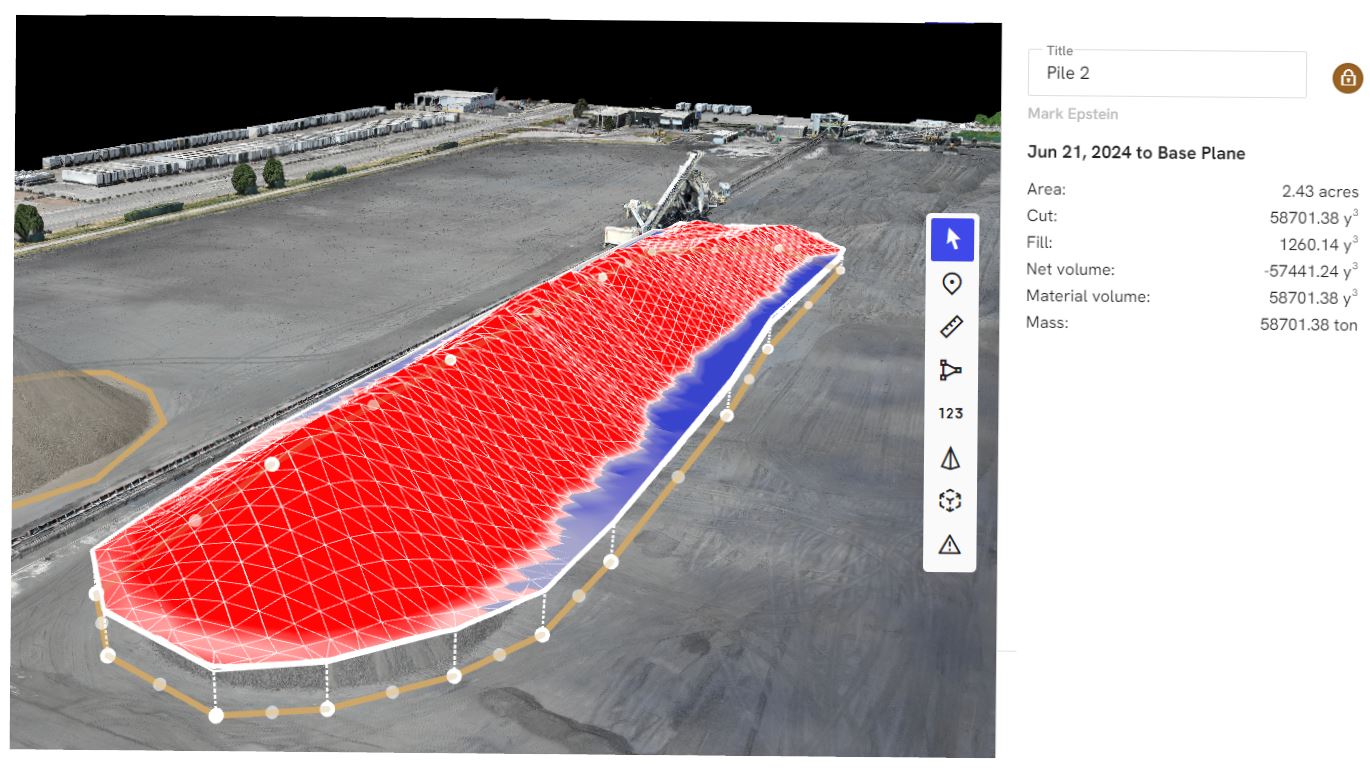
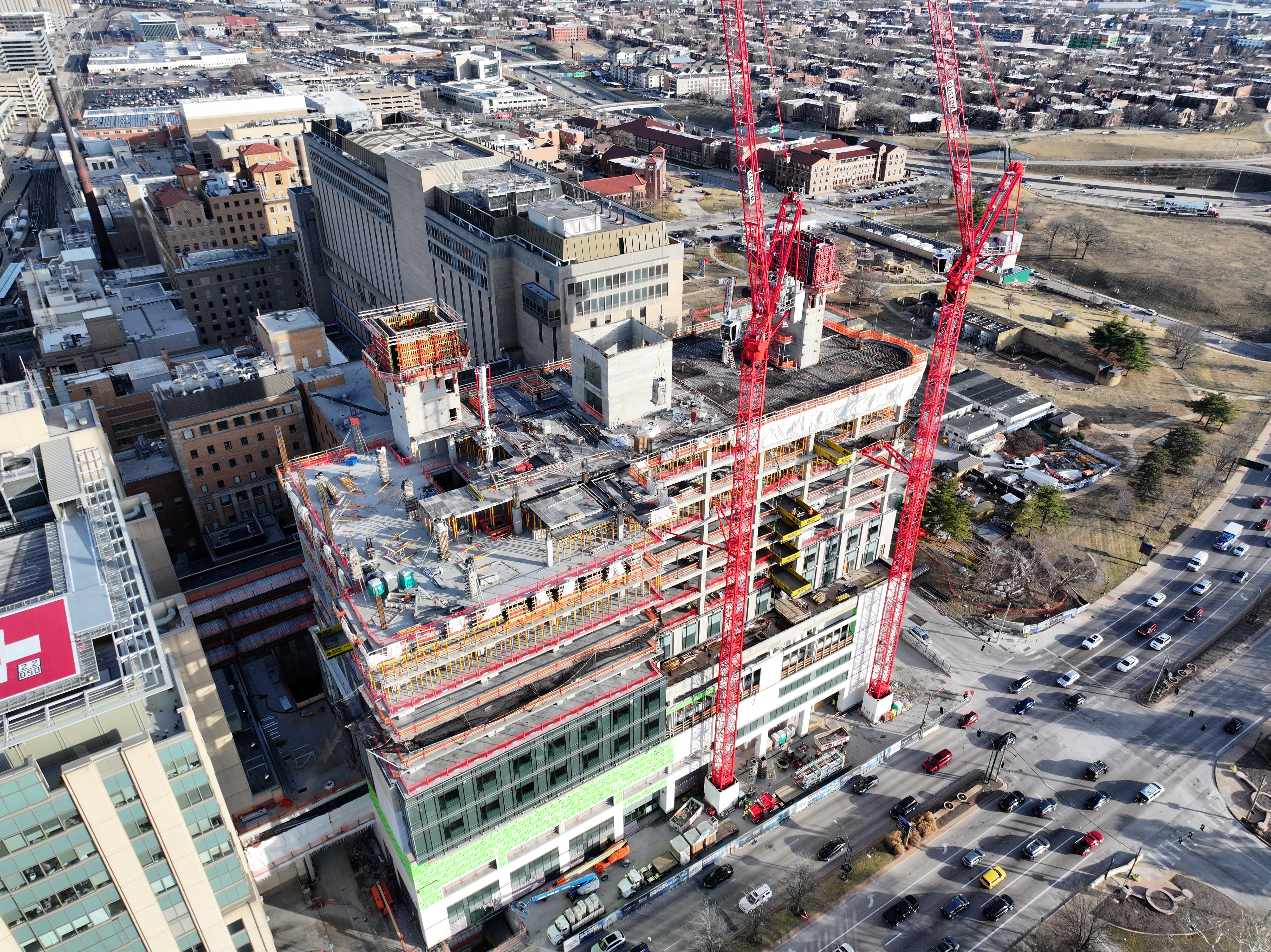
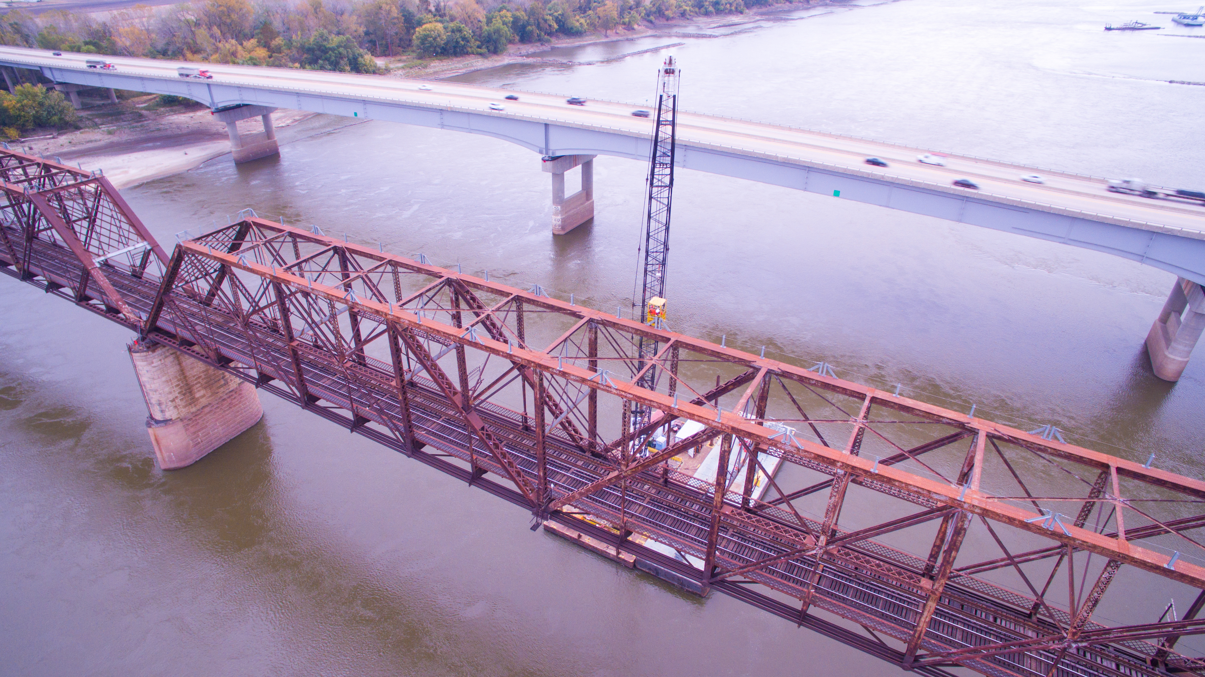
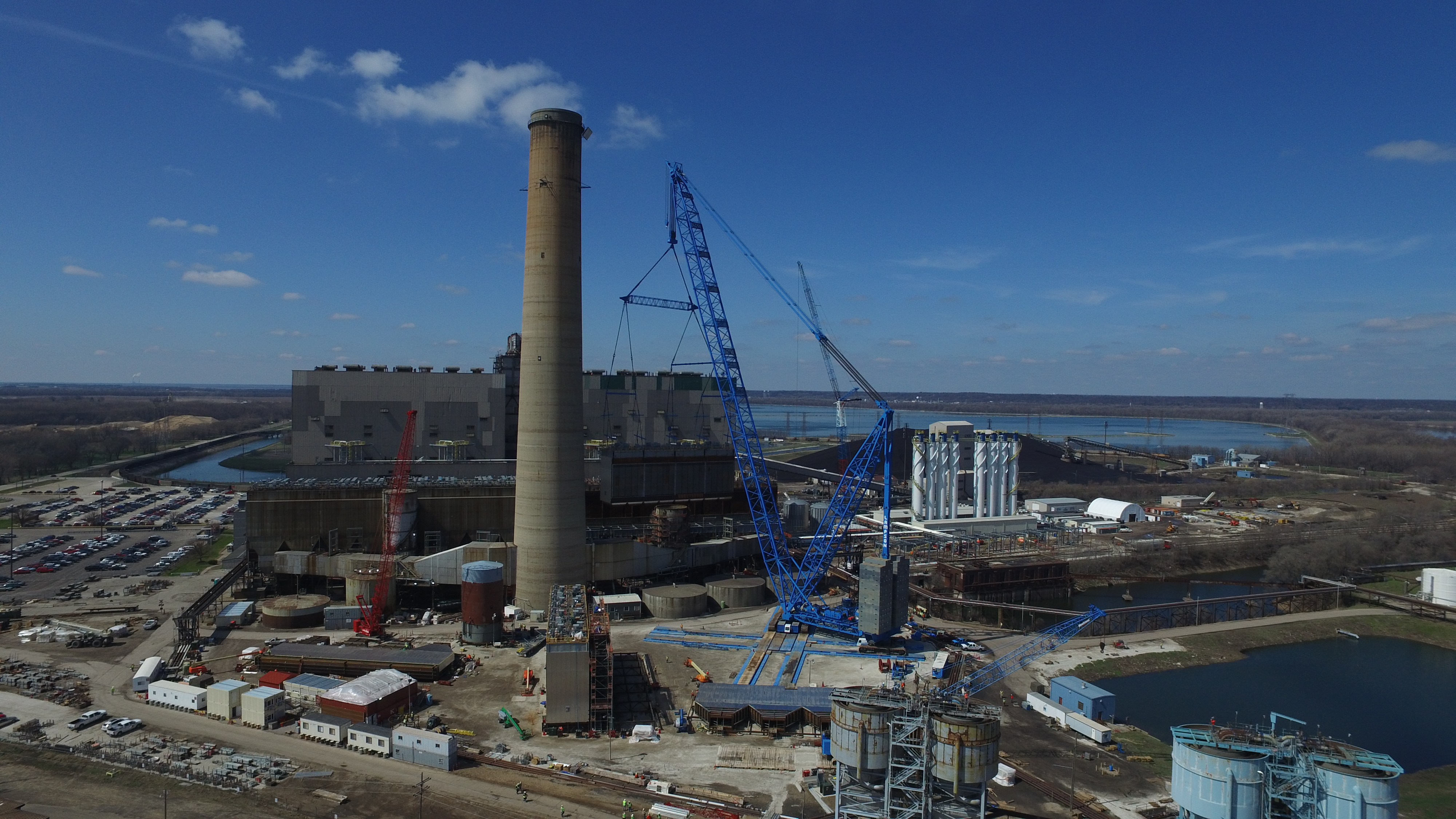
2) Construction, development, and real estate: progress and proof
Drone video is ideal for:
- progress documentation
- investor / stakeholder updates
- leasing and sales support
- before/after storytelling
Economical tip: plan recurring capture (monthly/quarterly) with consistent framing so edits become faster and comparisons become more dramatic.


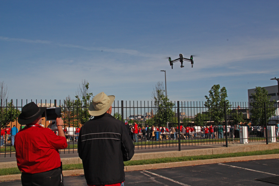
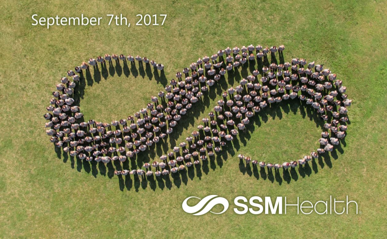
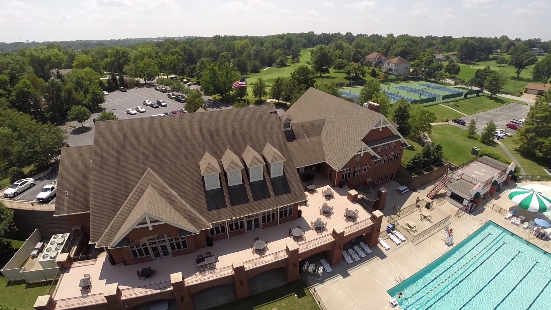
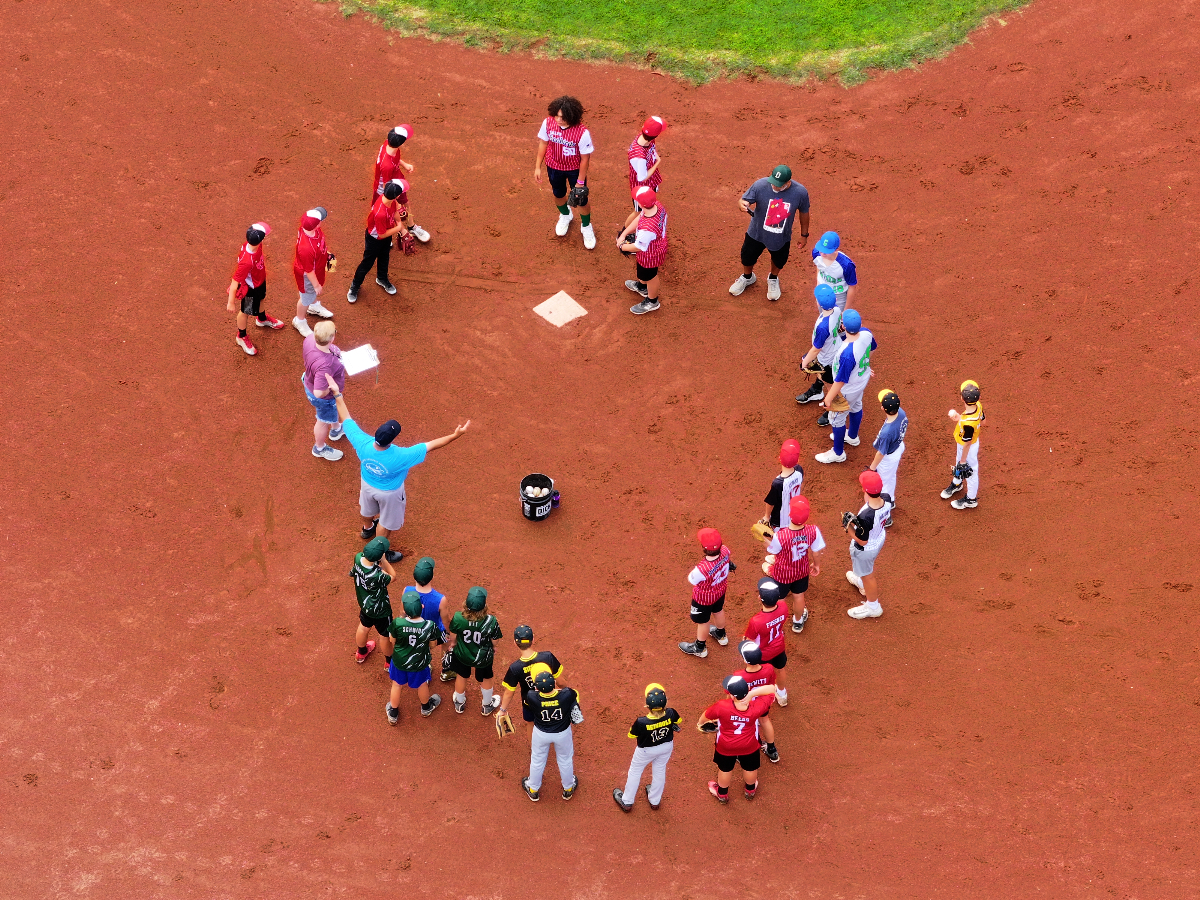
3) Events and community impact: “big energy” in small windows
Outdoor activations, festivals, grand openings, and community initiatives benefit from aerial coverage because it communicates turnout and scale immediately.
Economical tip: schedule drone flights around the moments that actually matter—arrivals, peak attendance, keynote moments, sunset “hero pass”—rather than keeping the drone up continuously.
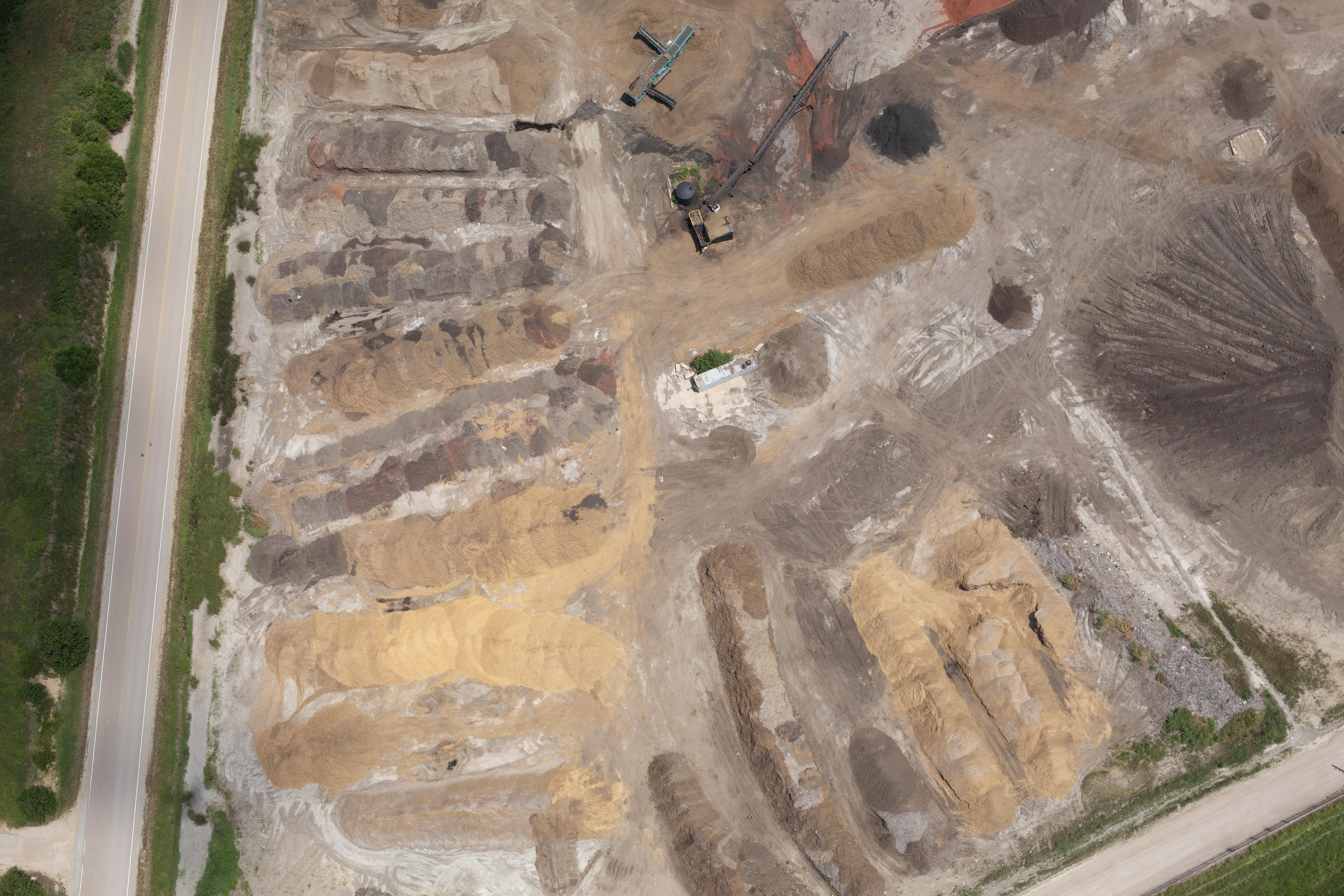
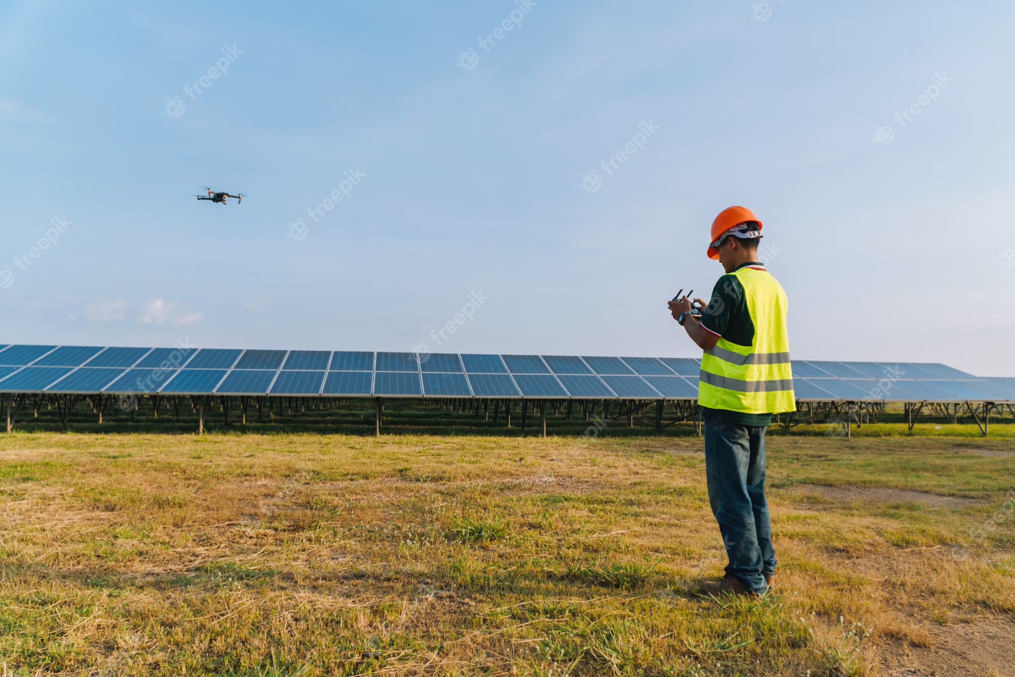
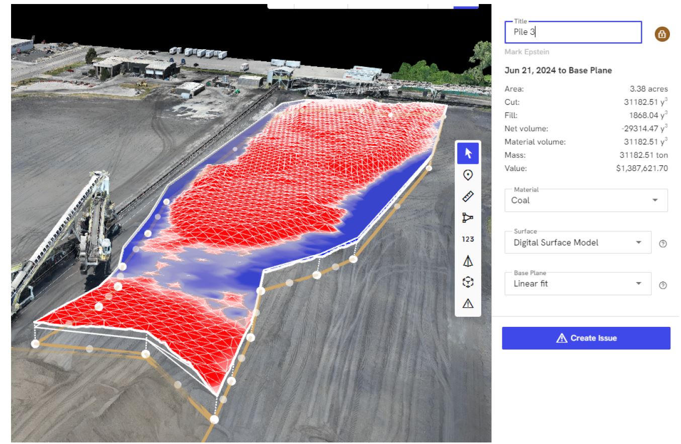
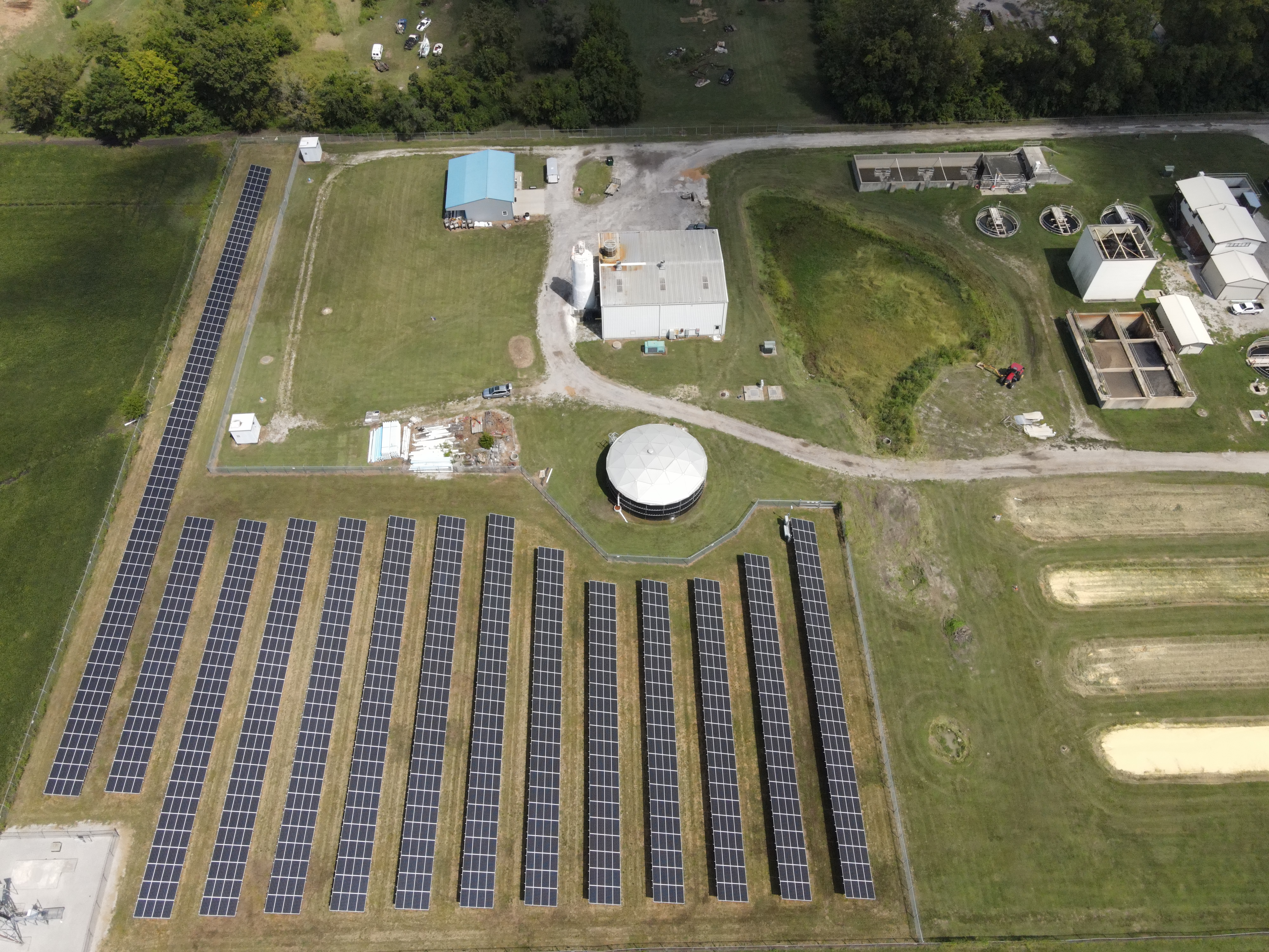
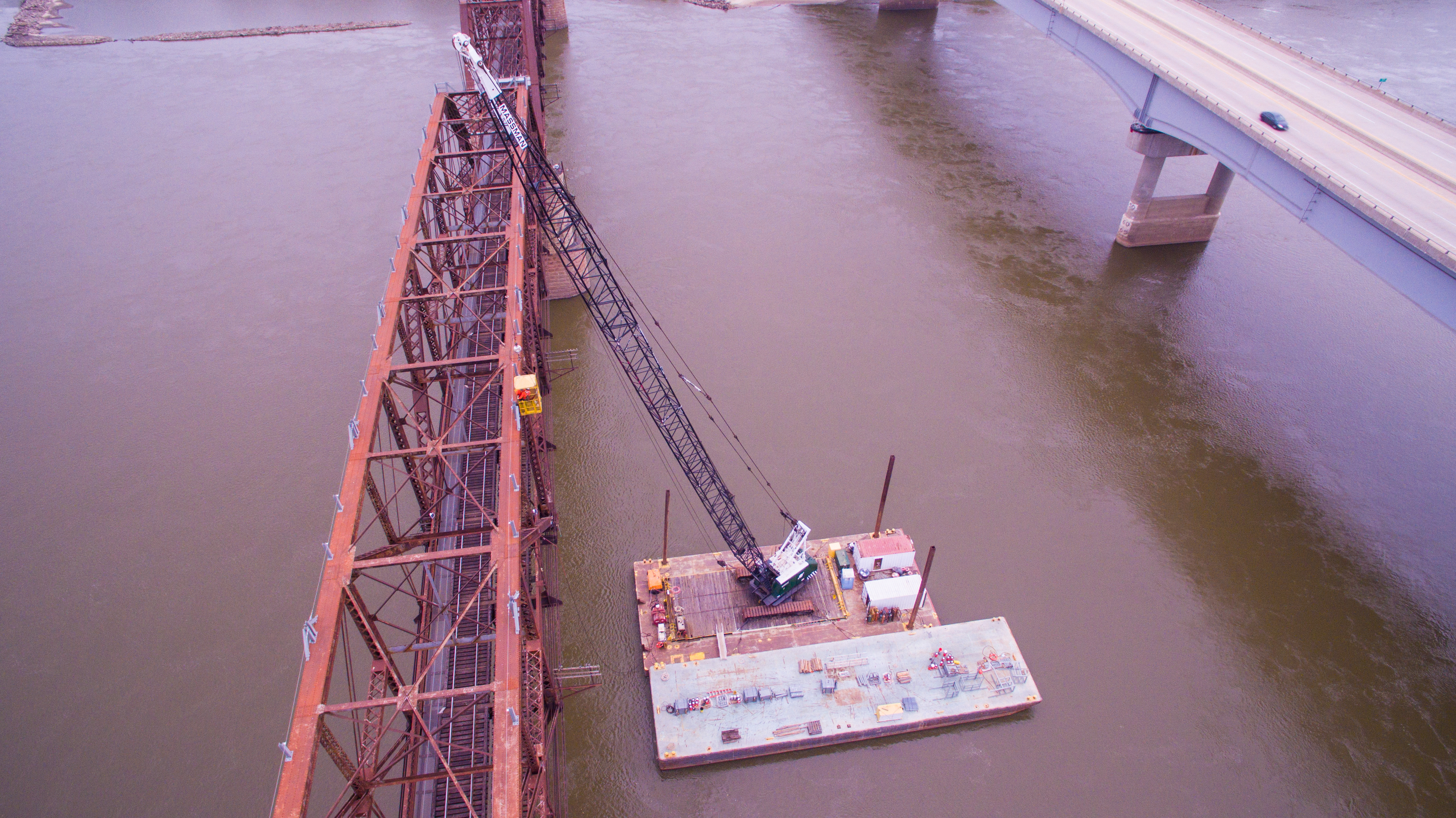
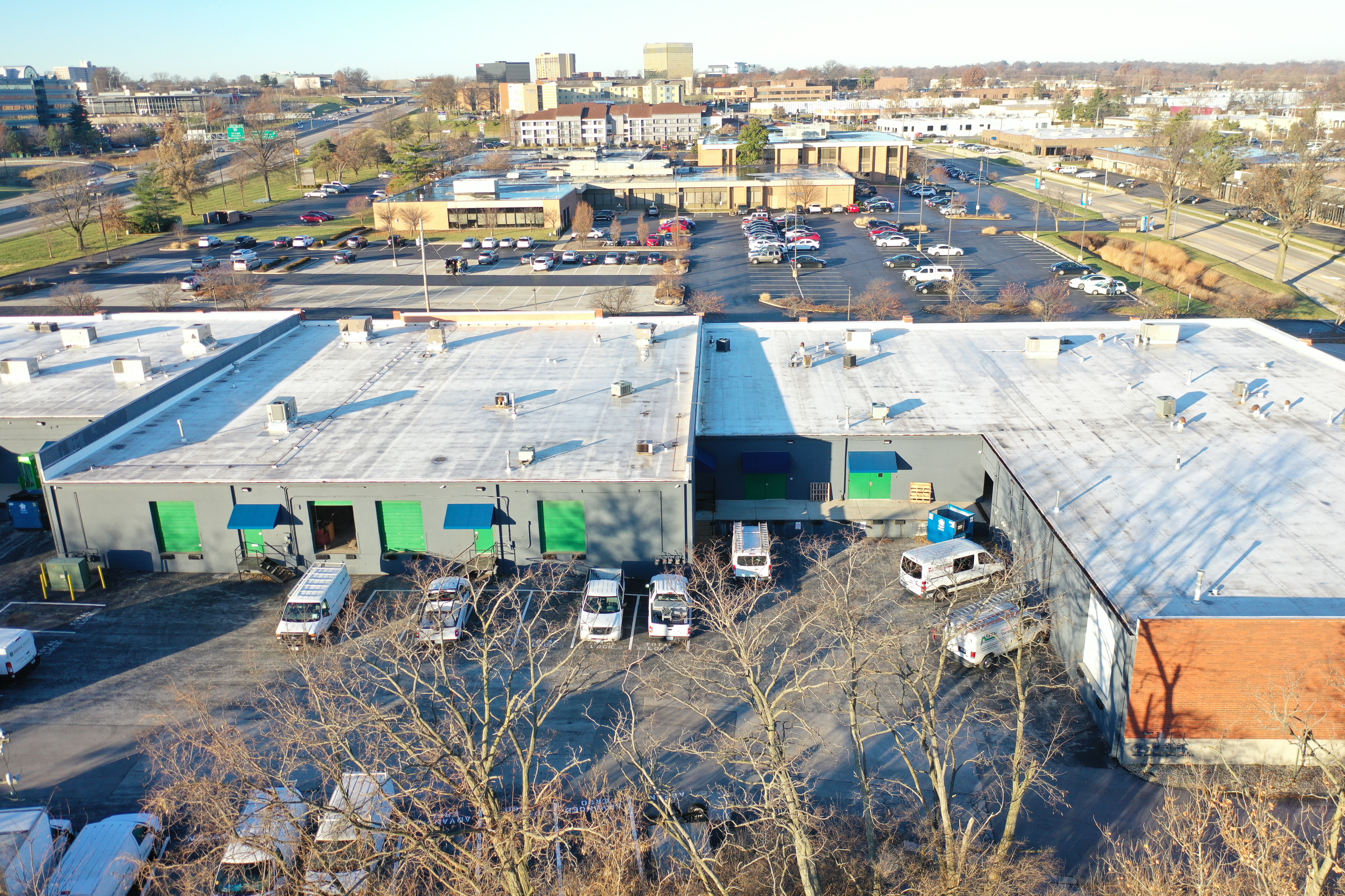
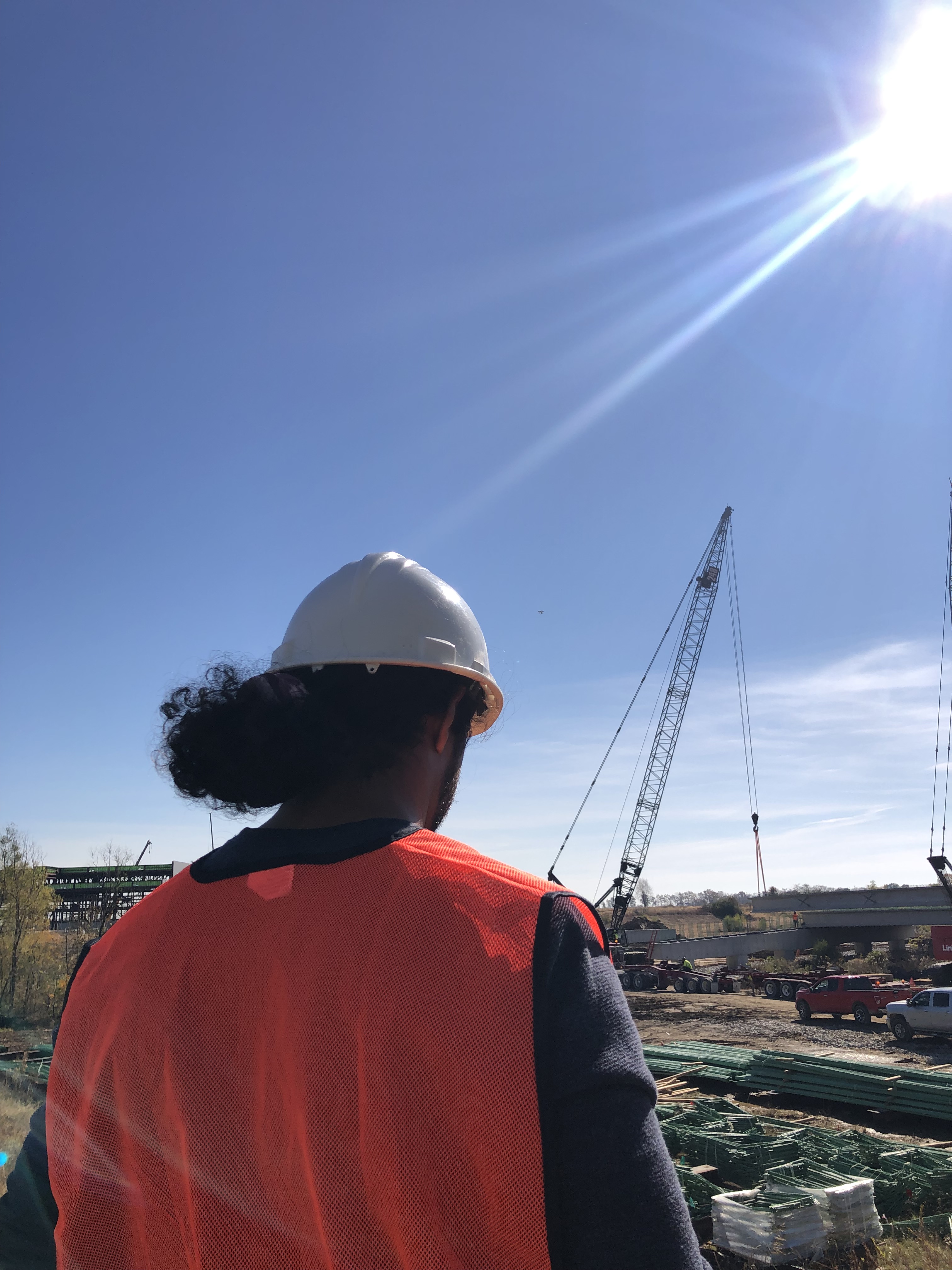
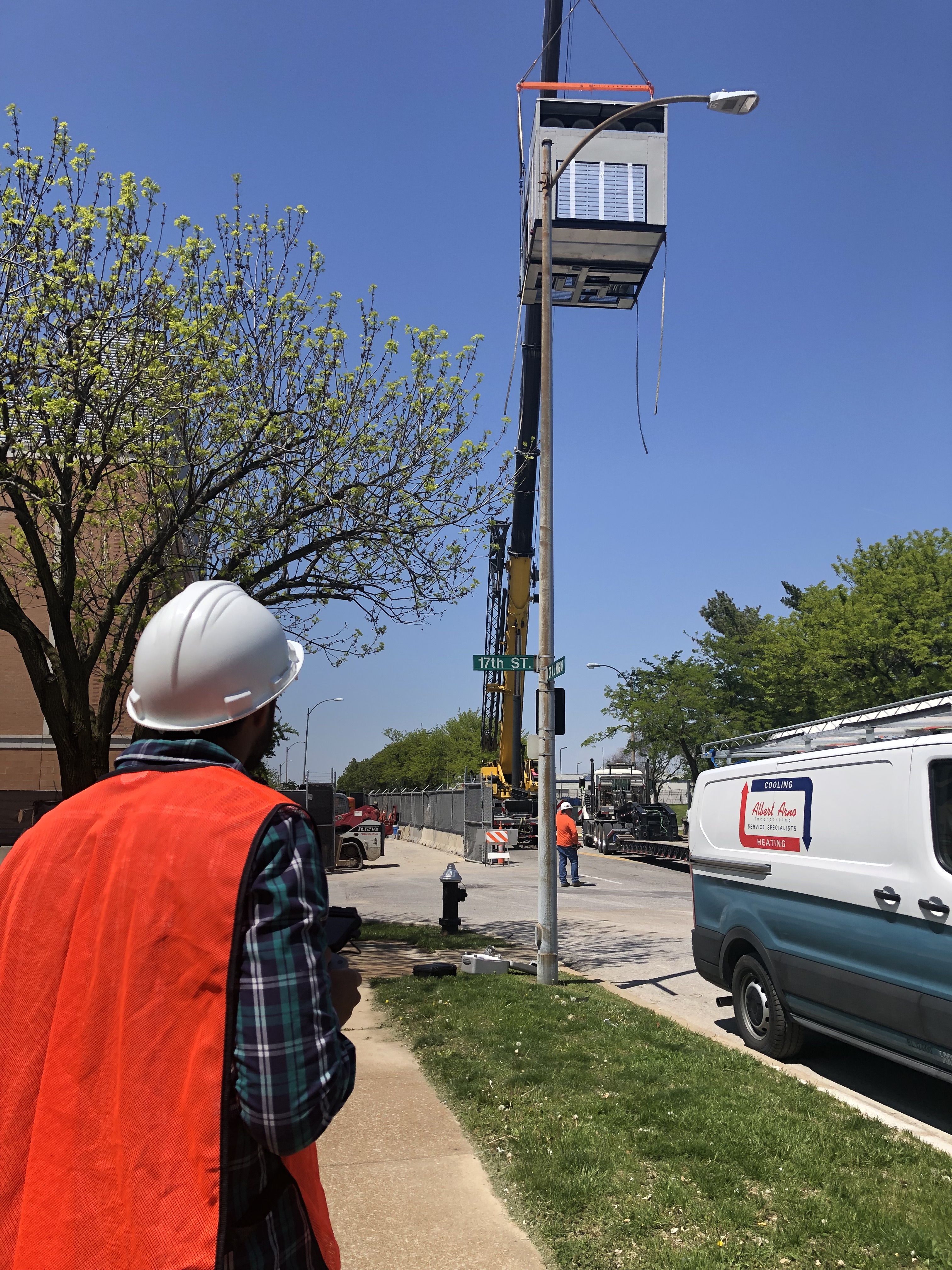
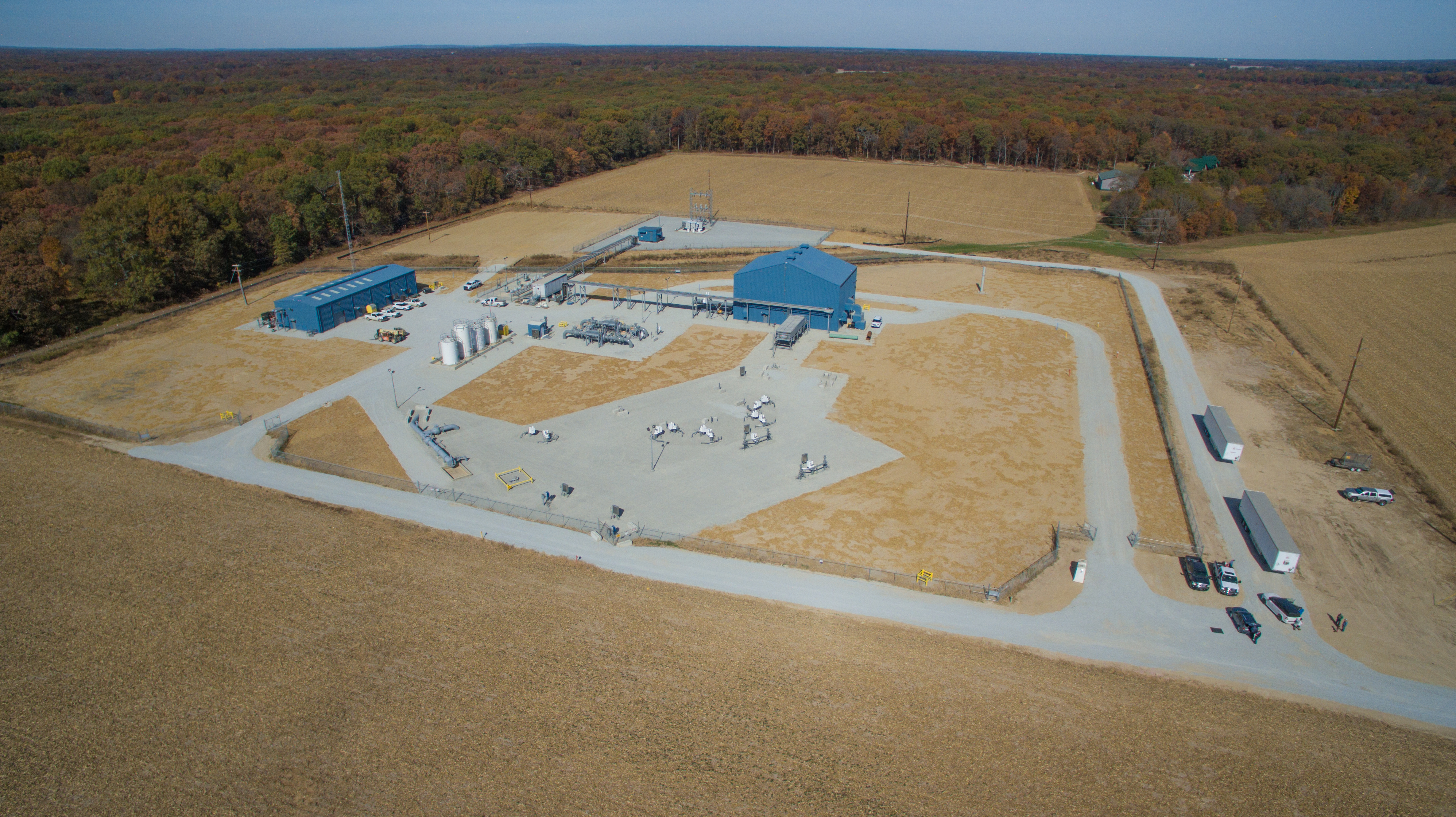
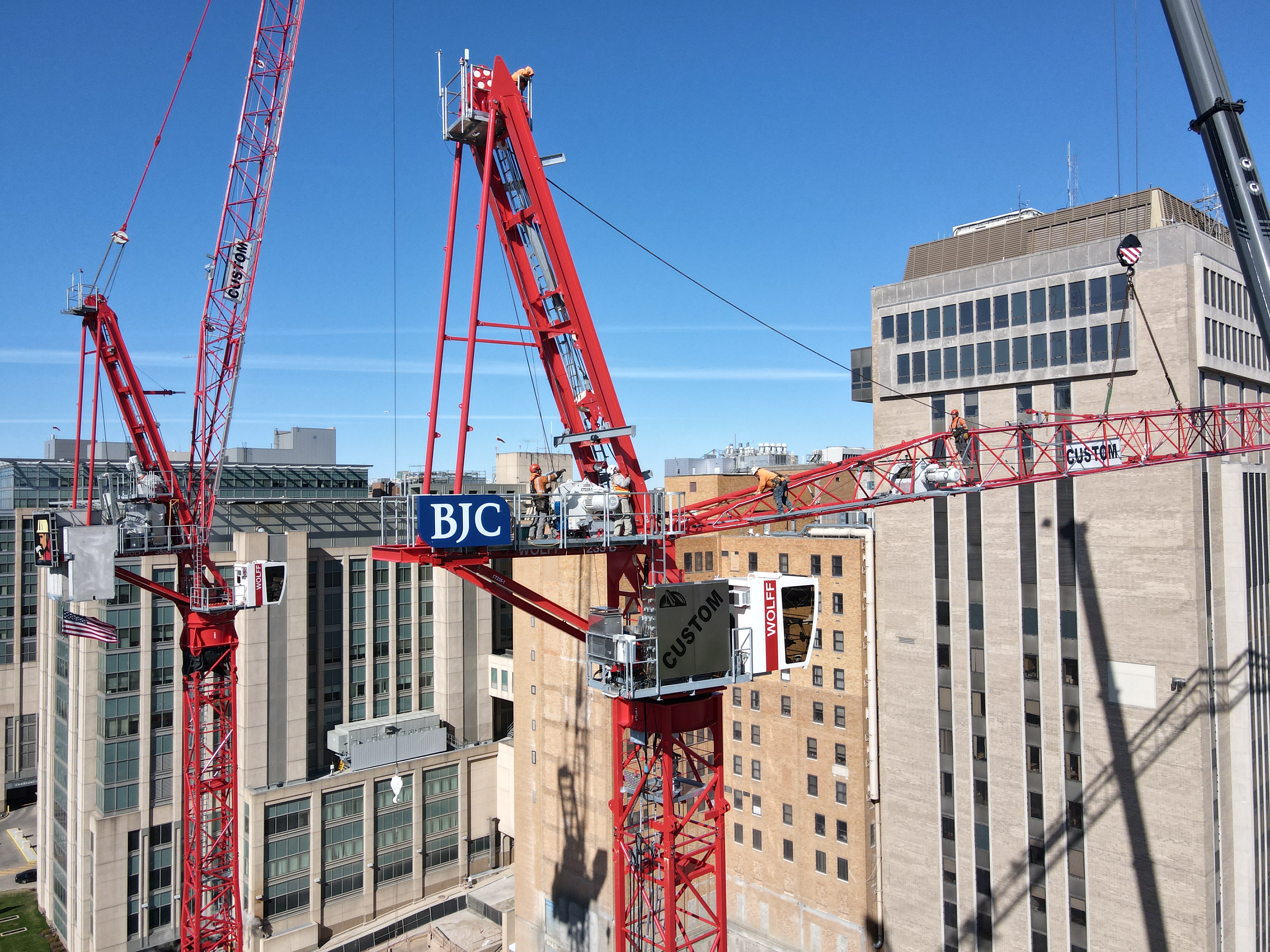
4) Industrial and infrastructure visuals: clarity without complexity
For utilities, civil engineering, industrial services, and inspection-adjacent marketing, drone footage provides practical visuals of:
- site conditions
- access routes
- project scope
- safety processes
The content can support marketing, recruiting, internal training, and proposals.
How to control costs without sacrificing quality
Here are the levers that reliably reduce cost while keeping outcomes premium.

Build a shot plan that matches business goals
A “shot list” isn’t just creative preference—it’s cost control. When you define what the video must accomplish, you reduce wasted flight time and eliminate the “maybe we should also get…” spiral.
Practical approach:
- 3–5 hero shots (home page, brand film opener, campaign lead)
- 6–10 supporting shots (process, context, movement, transitions)
- 10–20 utility clips (social, reels, thumbnails, backgrounds)
Combine drone and ground in one cohesive plan
The most economical projects are designed as integrated productions, not “drone add-ons.” When drone and ground teams coordinate framing, direction of motion, and lighting continuity, edits become faster and more polished.
This also prevents a common problem: aerial footage that looks great but doesn’t cut well with your interviews, b-roll, or brand film pacing.
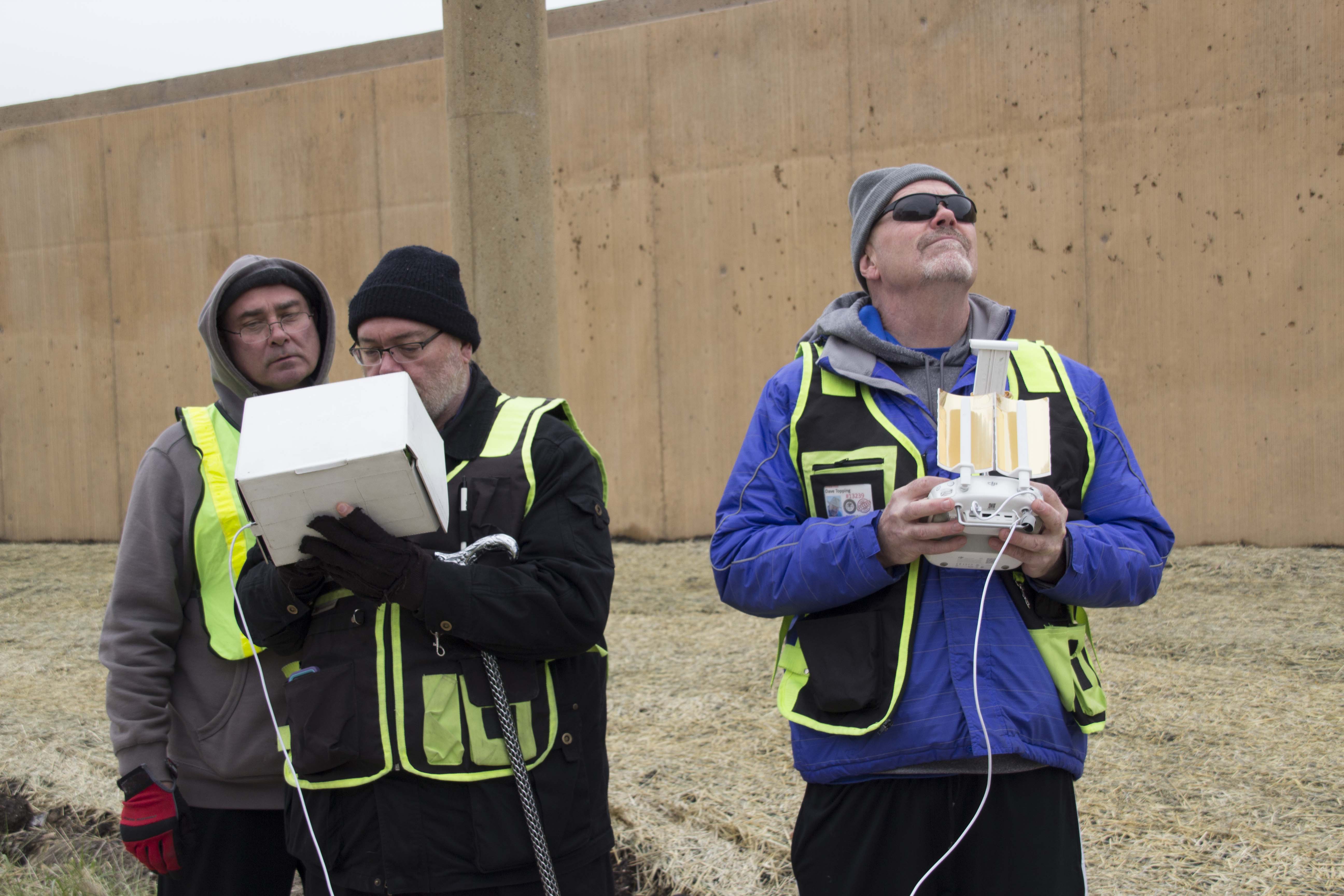
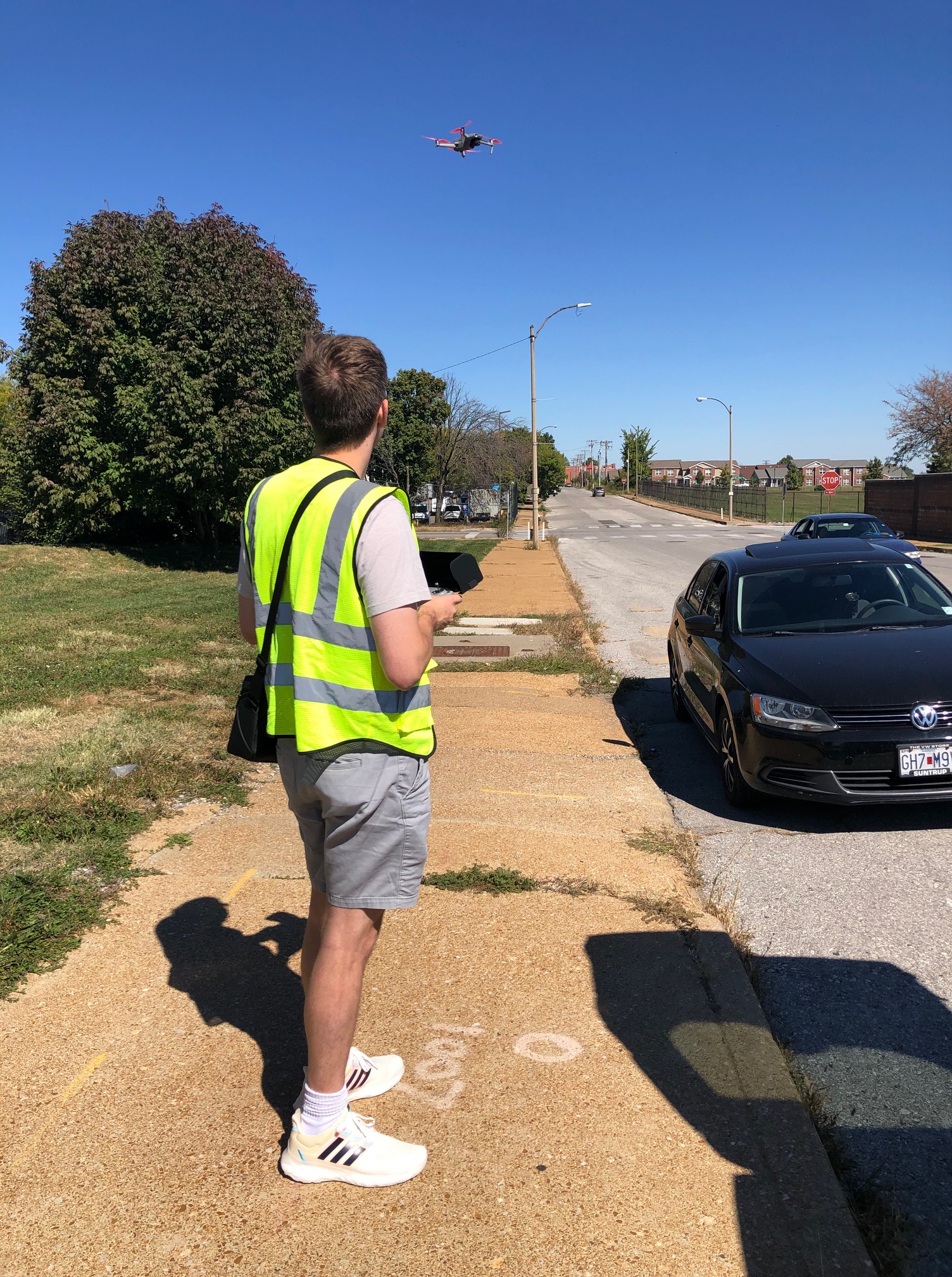
Keep flights efficient with smart scheduling
Drone video quality is often decided before the first battery is inserted.
- Scout the location (even briefly) for obstacles, RF interference, and the best launch points.
- Plan around sun position and shadows.
- Identify times when the site looks “alive” (people, vehicles, operations) versus empty.
Efficiency is not rushing—it’s removing uncertainty.
Capture multiple deliverables intentionally
Economical drone video becomes extremely economical when you plan for reuse:
- one hero sequence captured in multiple speeds/angles
- safe versions for corporate and public audiences
- vertical compositions for social
- still frames for web, print, thumbnails
You don’t want to “discover” during edit that your best shot can’t be cropped for vertical without losing the subject.
The most common mistakes that quietly waste budget
If you want cost control, avoid these:
- No defined usage: if no one knows where the video will live, you’ll overshoot and under-deliver.
- Flying without a story: random passes lead to random edits.
- Ignoring continuity: direction changes, inconsistent altitude, mismatched speed = more time in post.
- Over-reliance on “one epic shot”: you need sequences, not just highlights.
- Underestimating post-production: the edit is where drone footage becomes marketing footage.
Economical doesn’t mean generic: building a recognizable visual identity
Decision makers increasingly want video that looks like their brand, not a compilation of drone clichés. The most effective approach is to define a repeatable aerial “look”:
- consistent altitude ranges (e.g., low-level cinematic passes + mid-altitude reveals)
- consistent camera movement vocabulary (push, orbit, tracking, rise-and-reveal)
- consistent pacing (shot length and transitions)
- consistent color pipeline (matching your existing photo/video brand assets)
When your drone content is stylistically consistent, it becomes a reusable system—not a one-off expense.
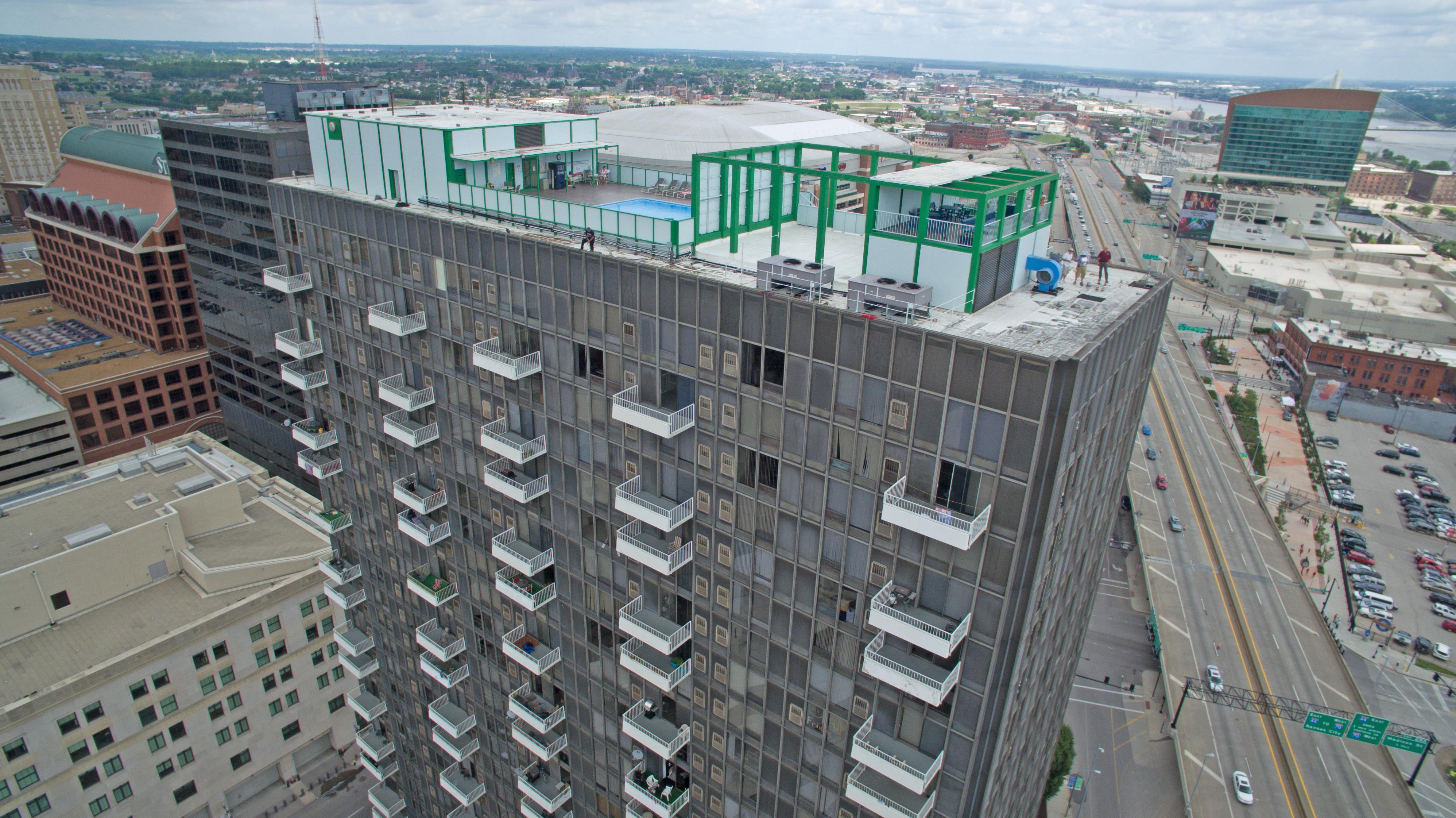
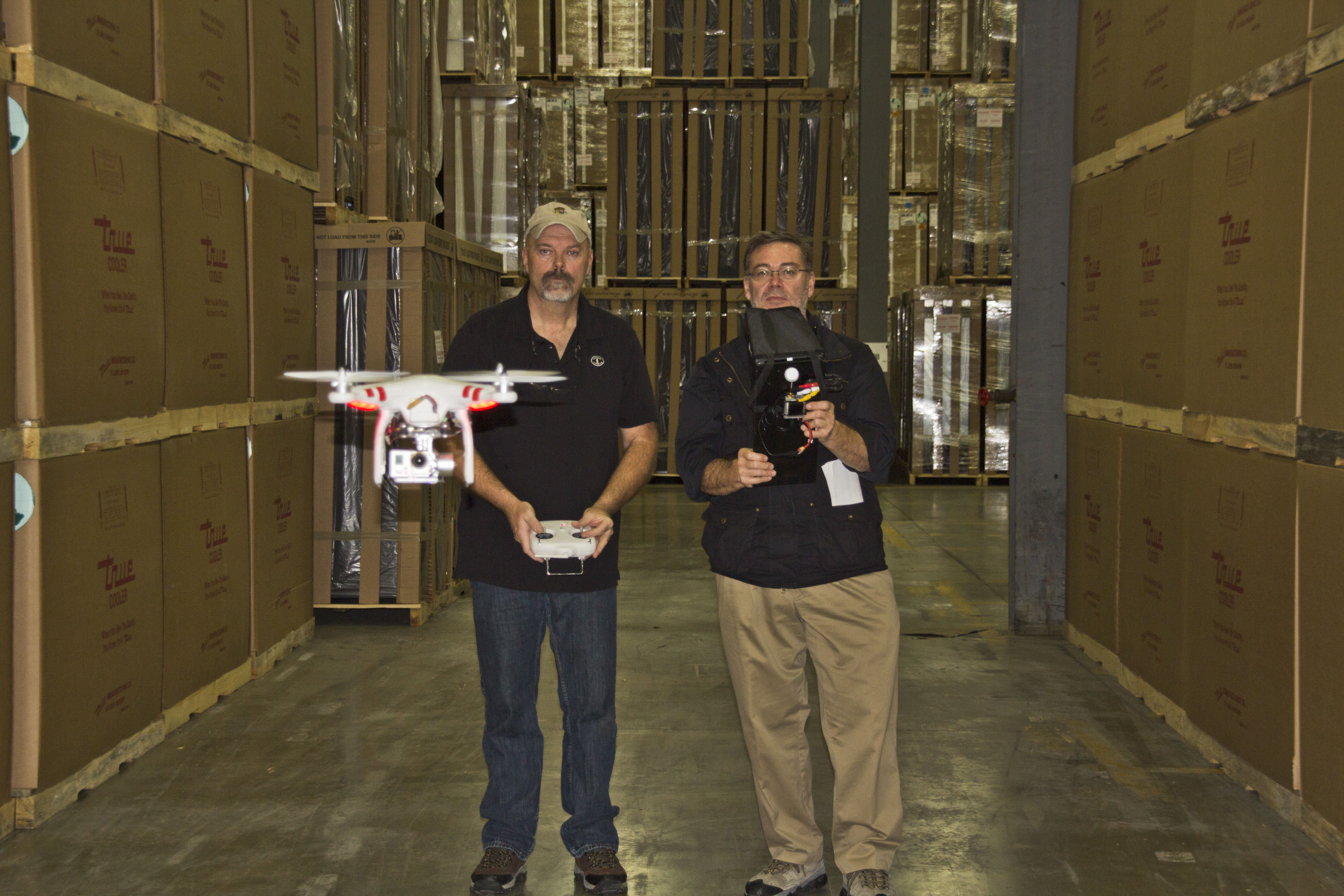
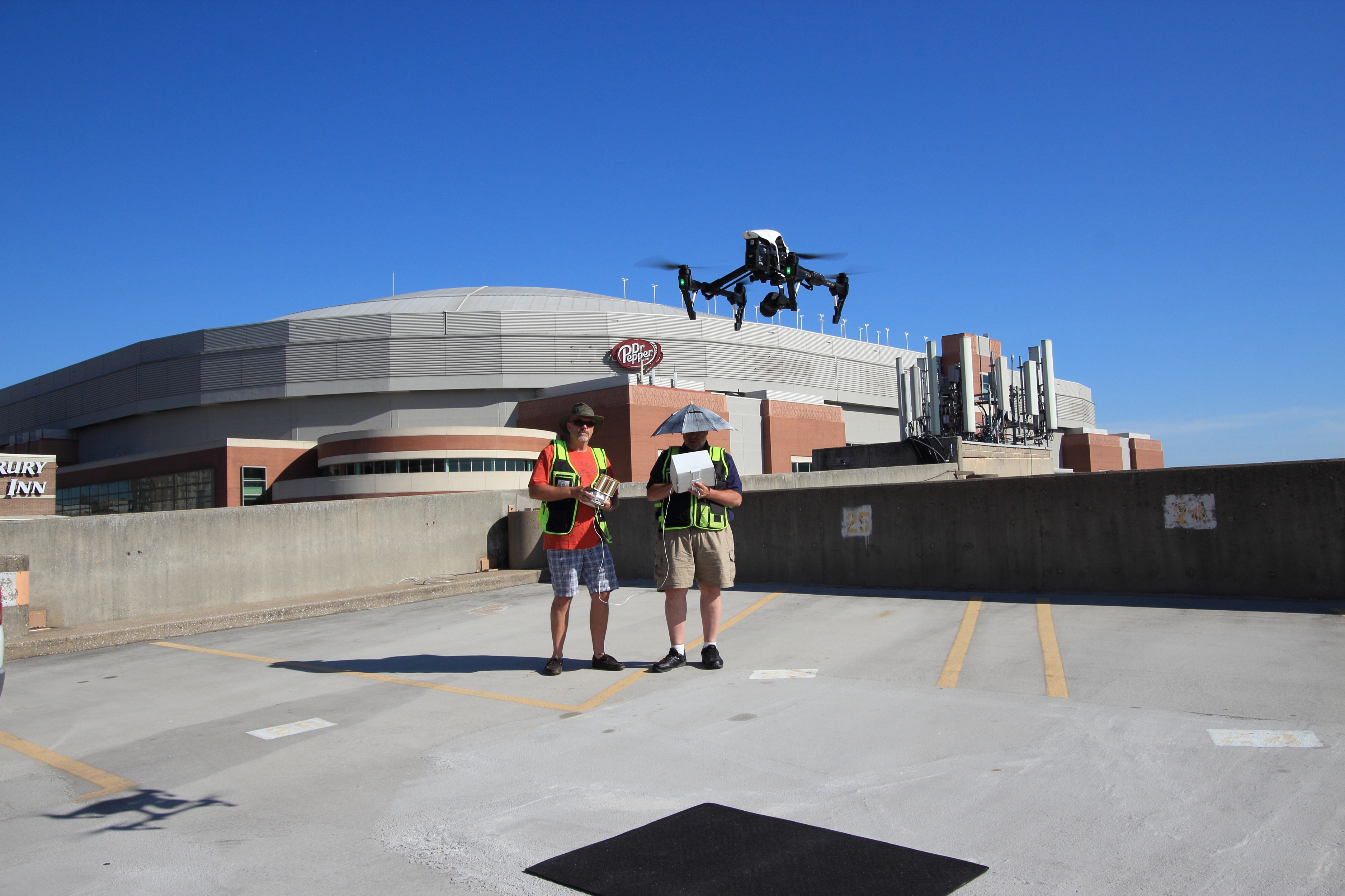
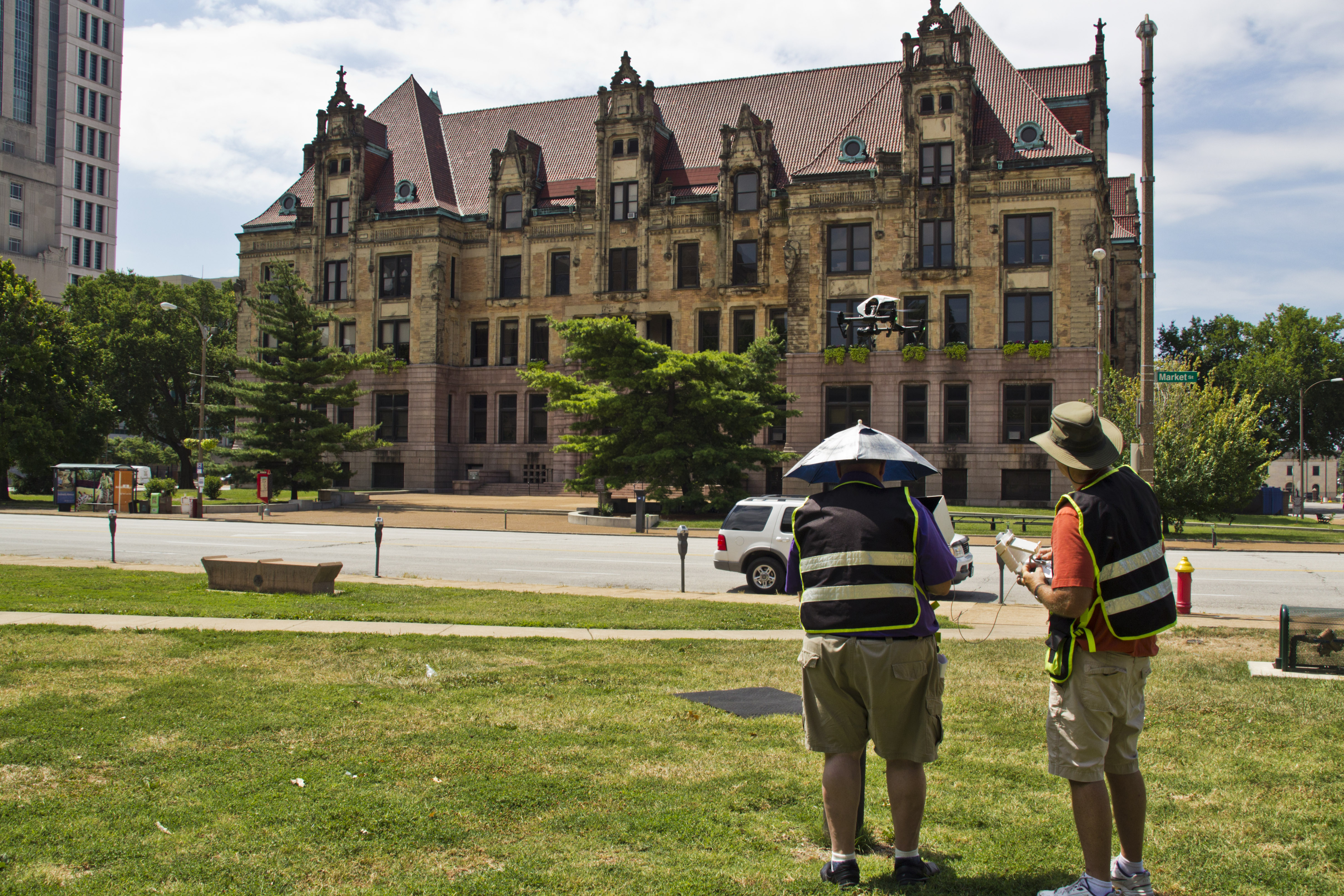
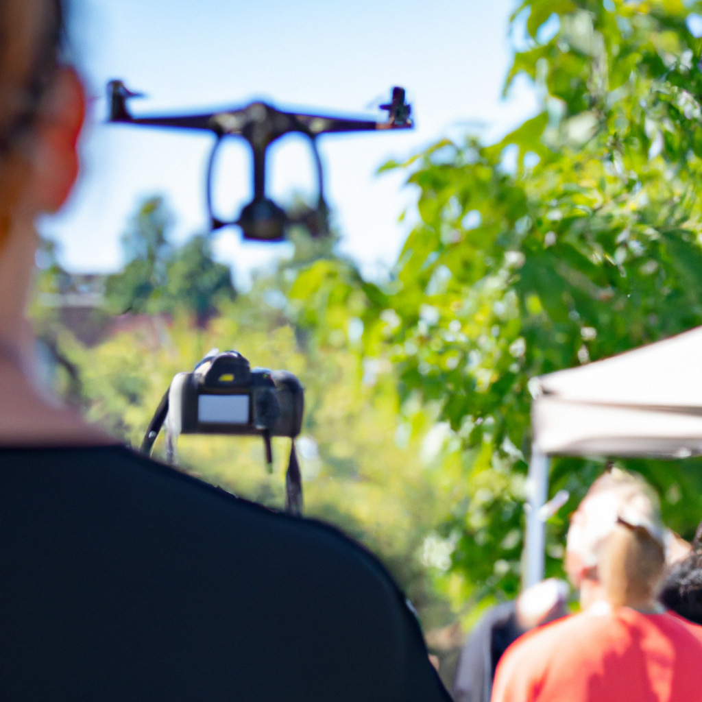
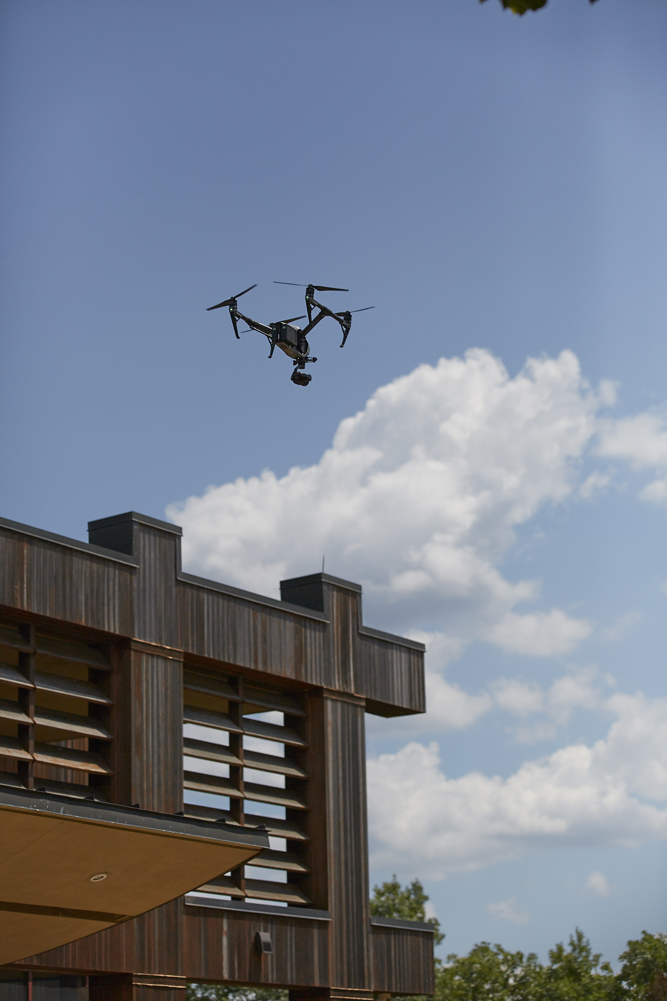
Indoor drone flights and tight spaces: when it’s the right tool
Indoor drone work can be a game changer for certain spaces—warehouses, large interiors, production floors, event setups—when safety and planning are prioritized. Indoor flight is not a novelty; it’s a specialized capability that can create dynamic coverage where ground rigs are limited.
The key is treating indoor drone capture like any other professional set: controlled environment, clear flight path design, and a plan that keeps people and operations safe.
The bottom line: aerial content is an efficiency tool when produced professionally
Drone video is economical when it’s:
- planned to solve specific communication problems
- captured with a high keeper rate
- edited for multiple channels and formats
- delivered in the file types and codecs your team actually needs
- integrated into a broader marketing media strategy
That’s how you avoid the “we have drone clips but don’t know what to do with them” outcome.
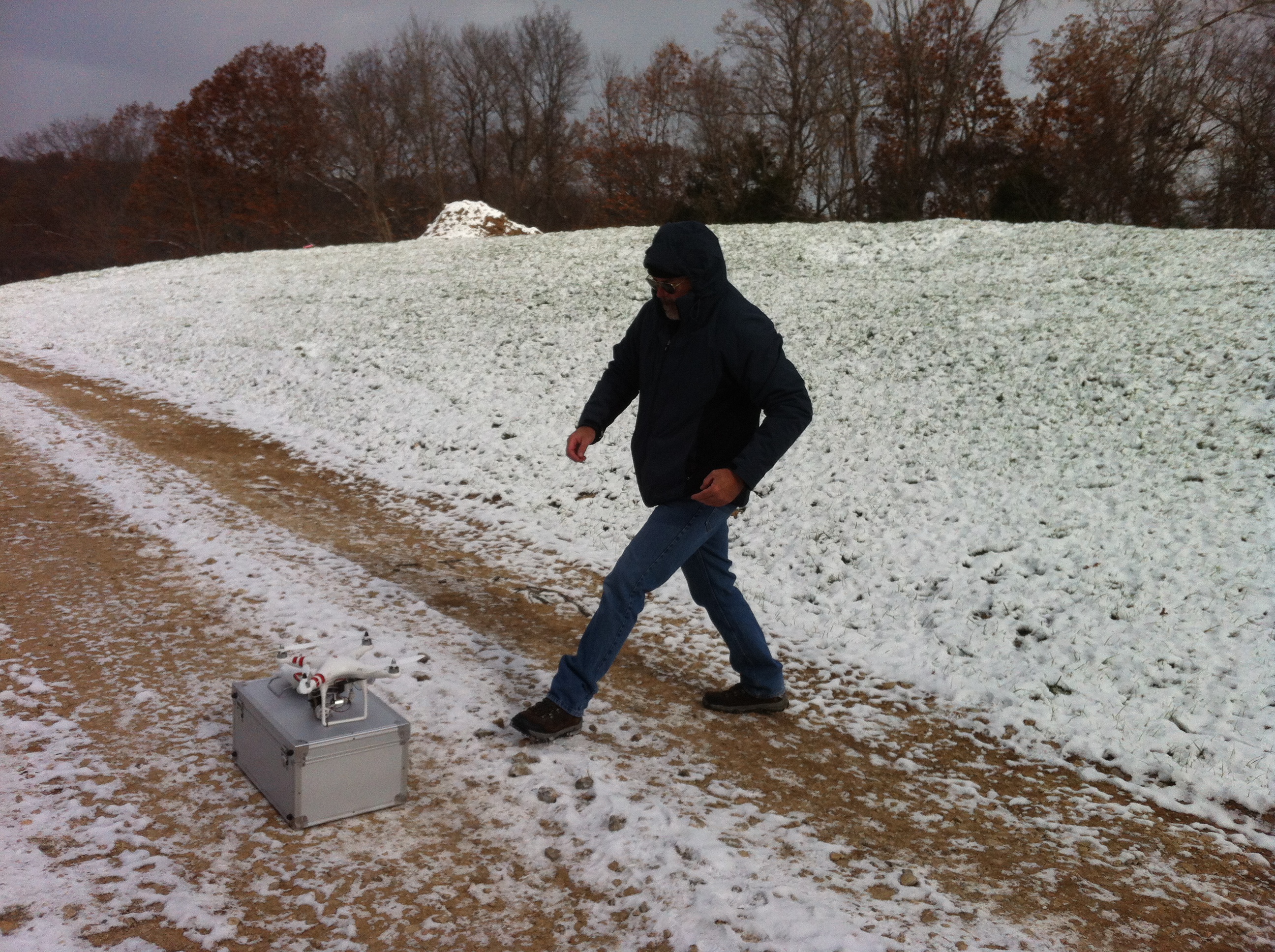
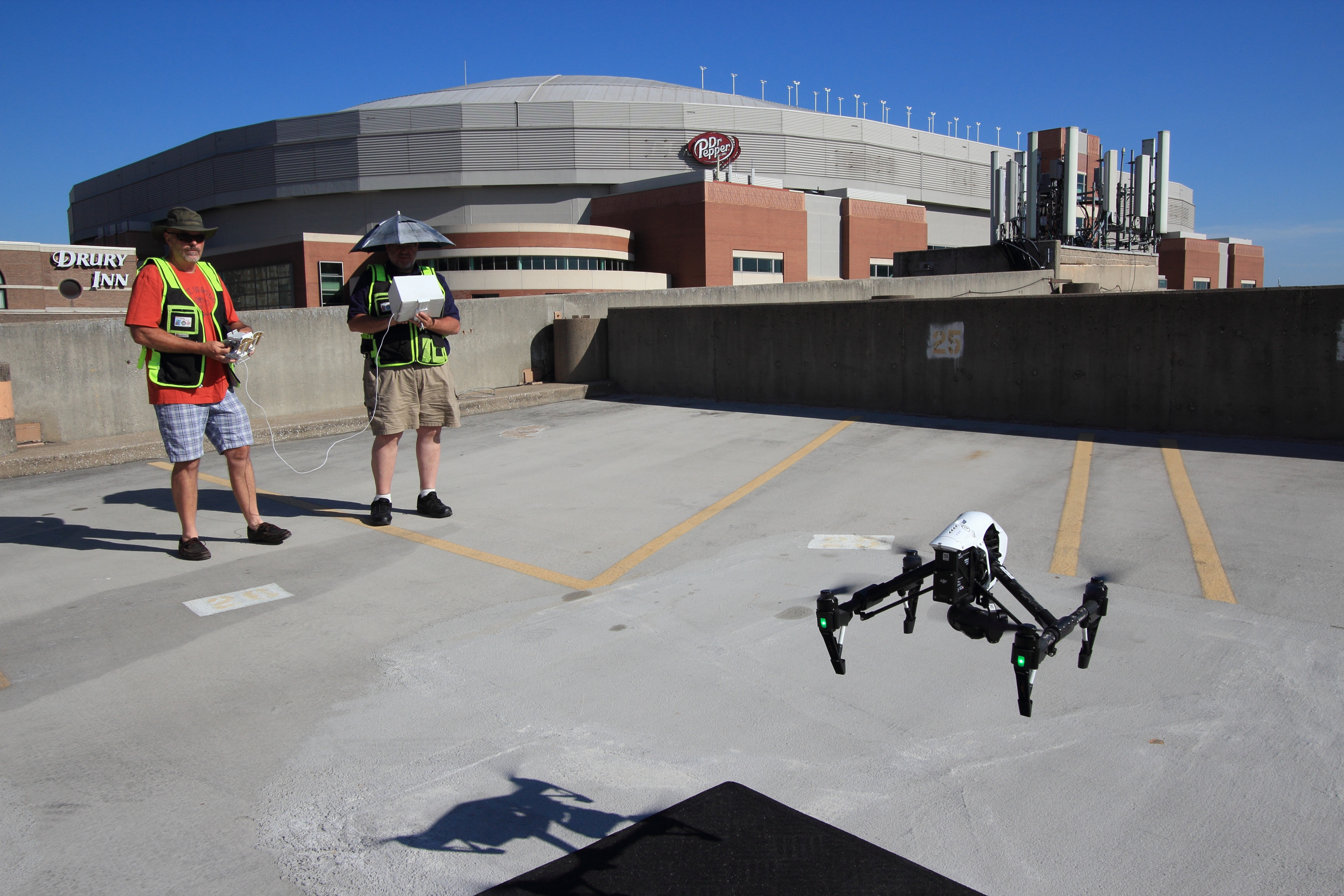
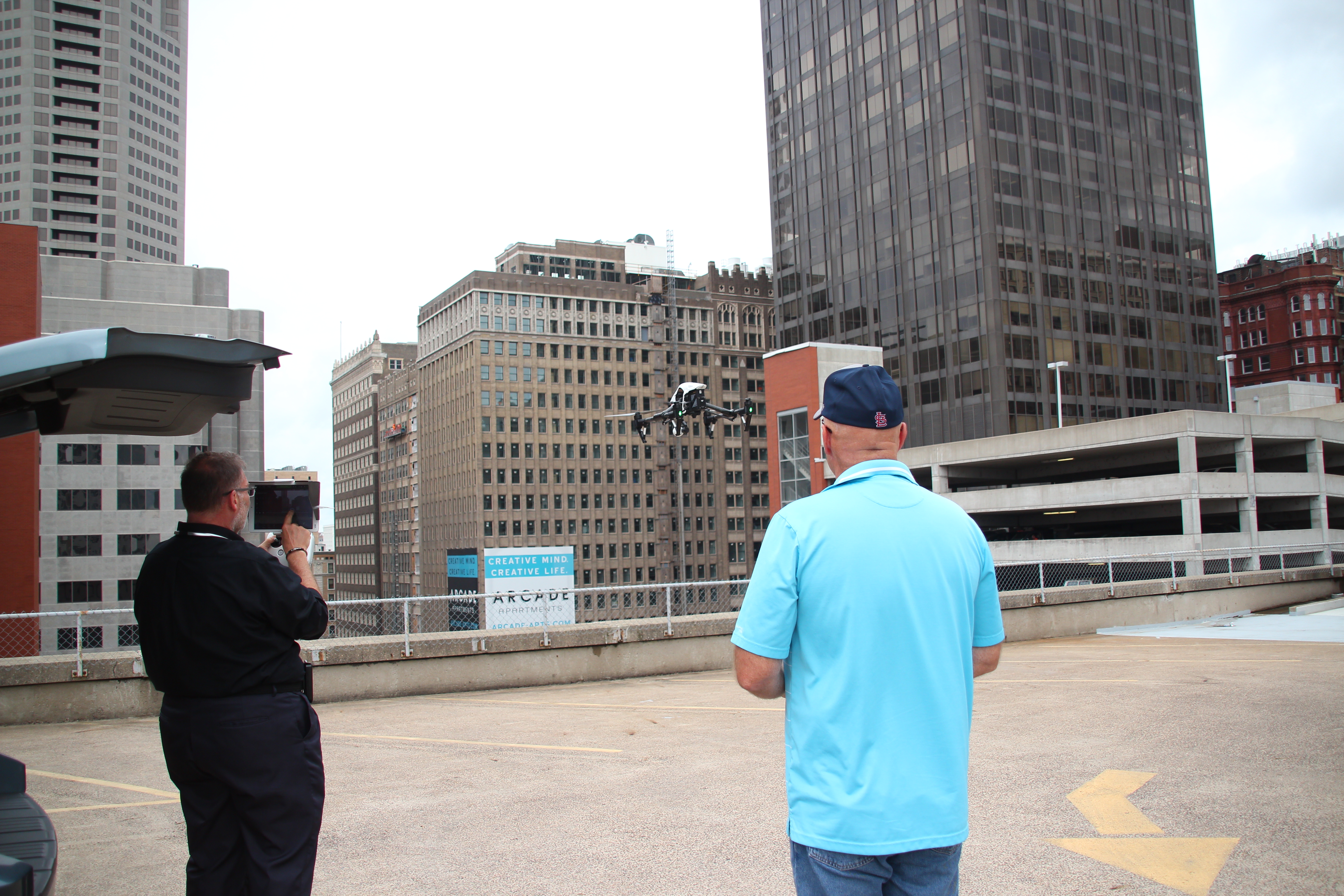
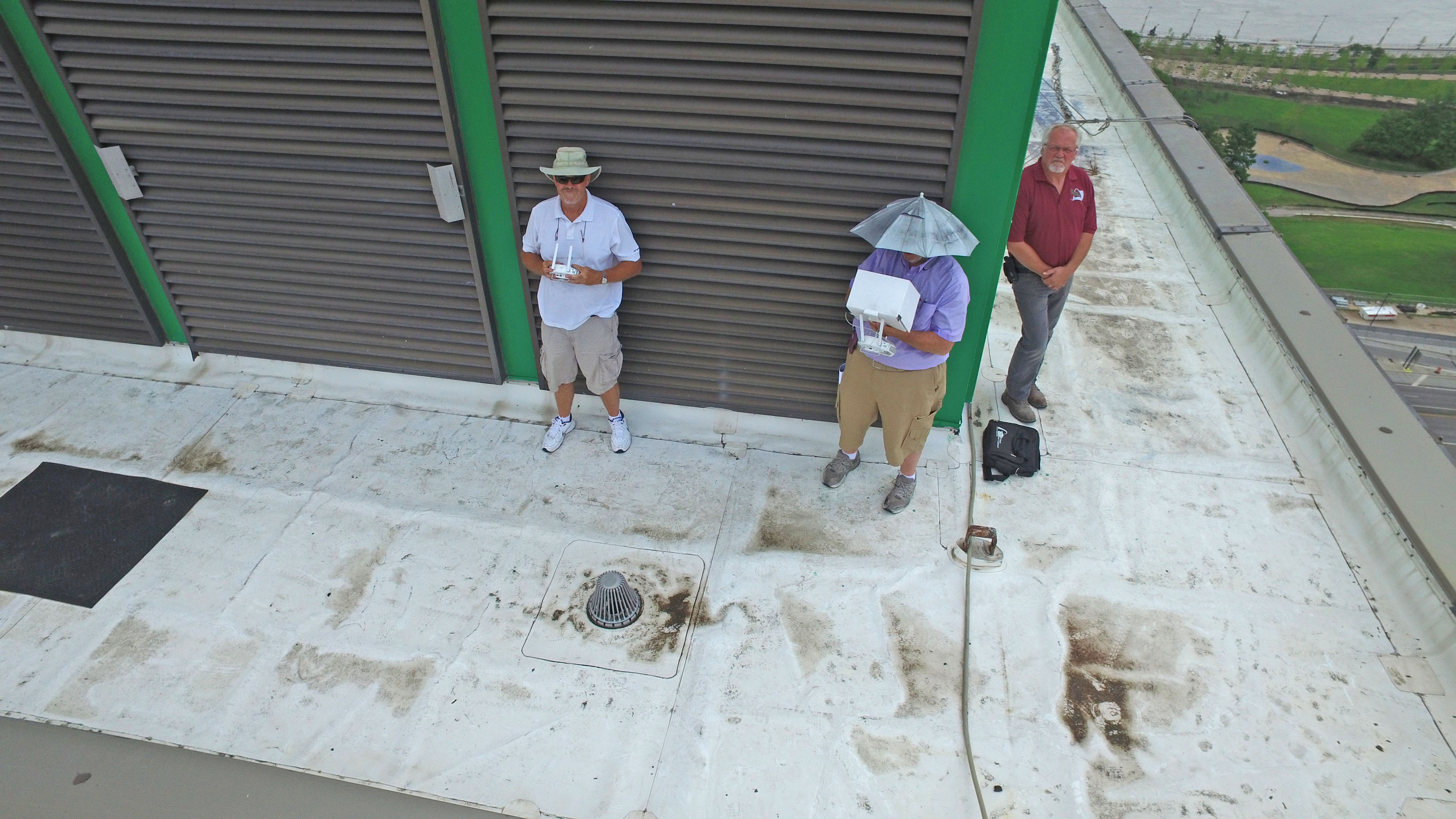
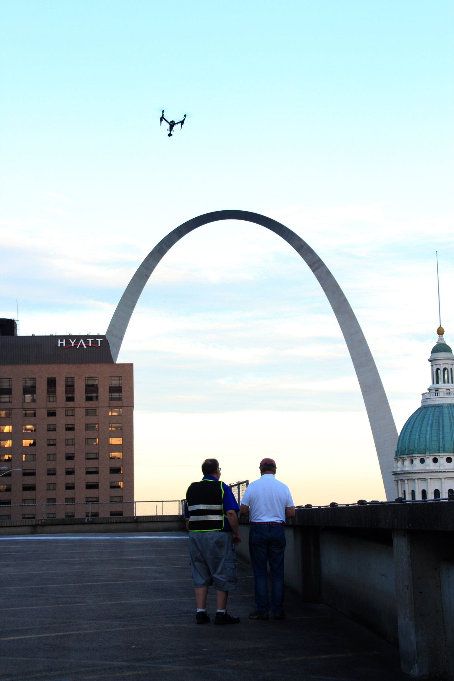
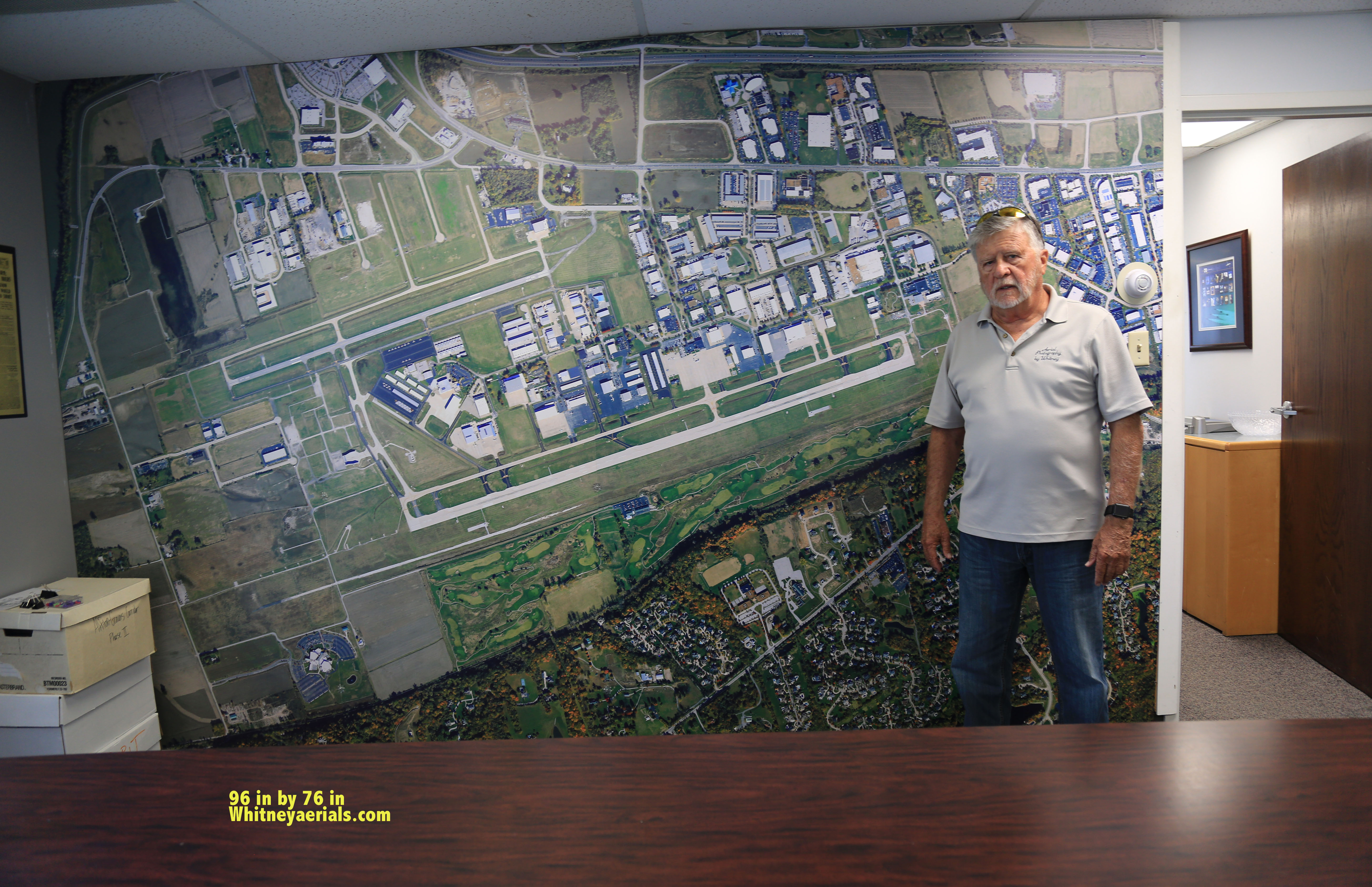
Why St Louis Drone Services is the right production partner
As a full-service video and photography production corporation since 1982, St Louis Drone Services brings decades of real-world production experience—not just drone operation—to every project. We’re a full-service professional commercial photography and video production company with the right equipment and creative crew service experience for successful image acquisition.
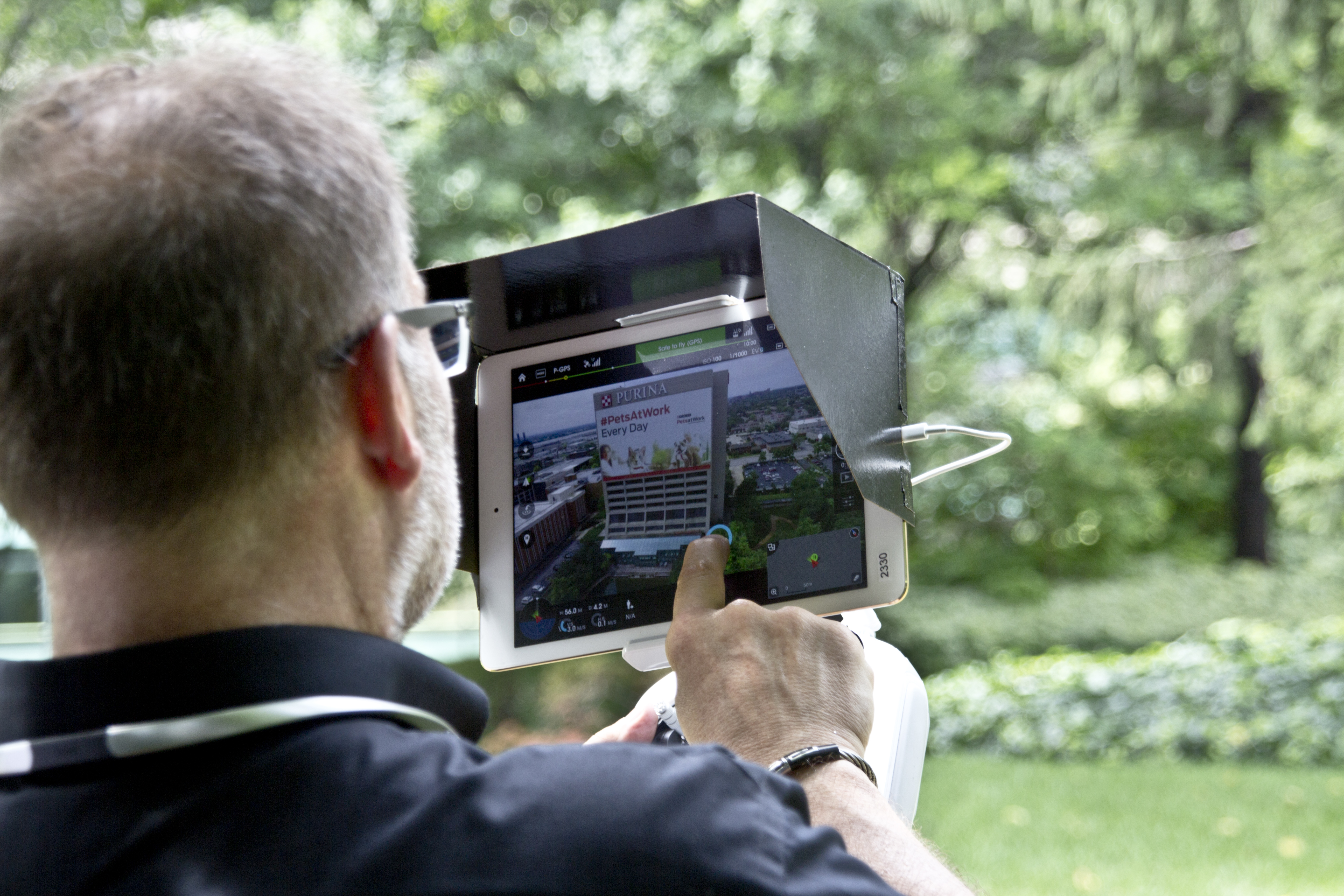
We offer full-service studio and location video and photography, plus editing and post-production, and our team includes licensed drone professionals. St Louis Drone Services can customize productions for diverse media requirements, and repurposing your photography and video branding to gain more traction is one of our specialties.
We’re well-versed in all file types, media styles, and the accompanying software needed to deliver clean, usable assets for marketing teams, agencies, and in-house communications. We also use the latest in Artificial Intelligence across our media services—speeding workflows, improving consistency, and expanding what’s possible without expanding your budget.
Our private studio lighting and visual setup is ideal for small productions and interview scenes, and our studio is large enough to incorporate props to round out your set. We support every aspect of your production—from setting up a private, custom interview studio to supplying professional sound and camera operators, as well as providing the right equipment—ensuring your next video production is seamless and successful.
And when the job calls for it, we can fly our specialized drones indoors—giving you dynamic coverage in spaces where traditional rigs are limited.
If you want economical drone video in St. Louis that’s designed to perform across platforms—and produced with the same discipline as high-end commercial work—St Louis Drone Services is built for that.