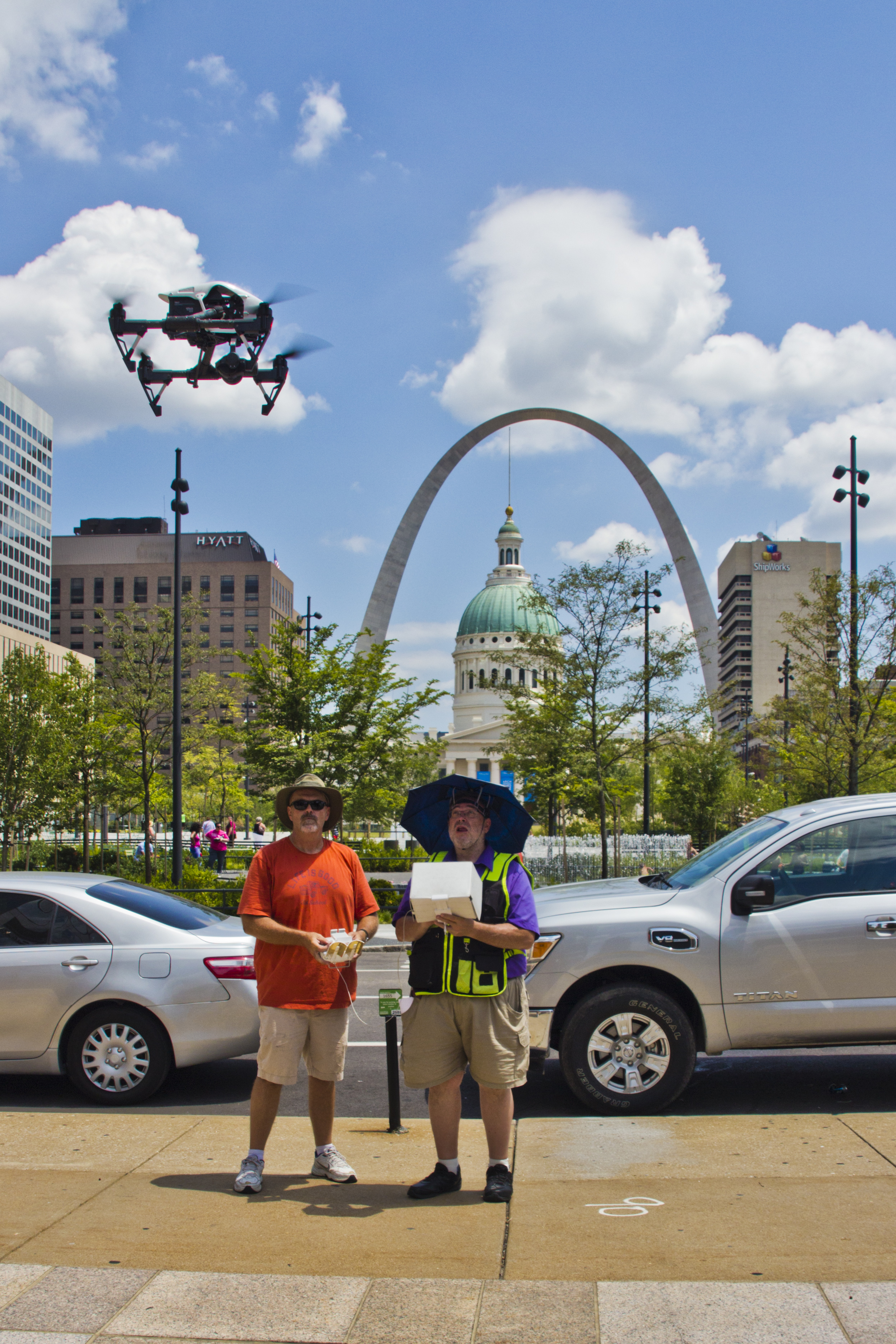
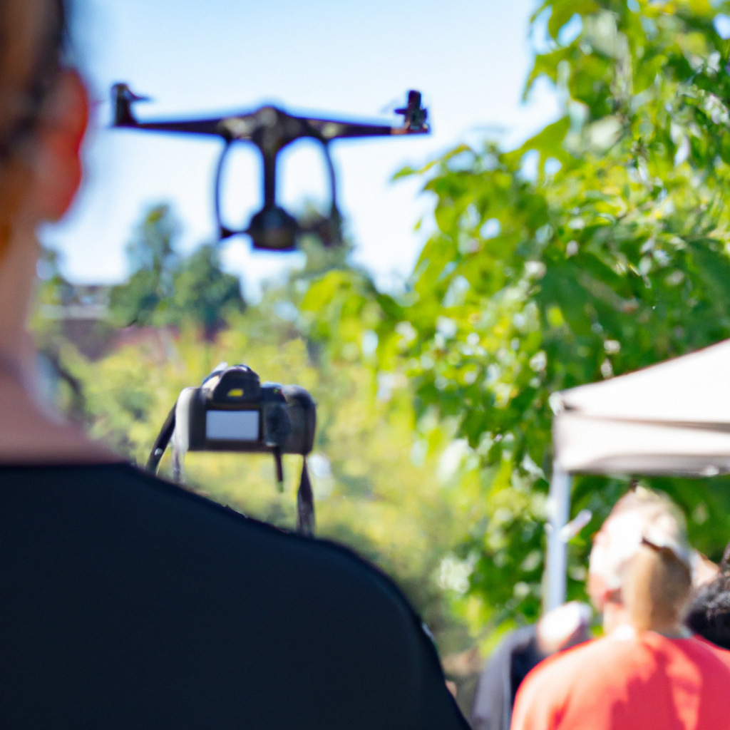
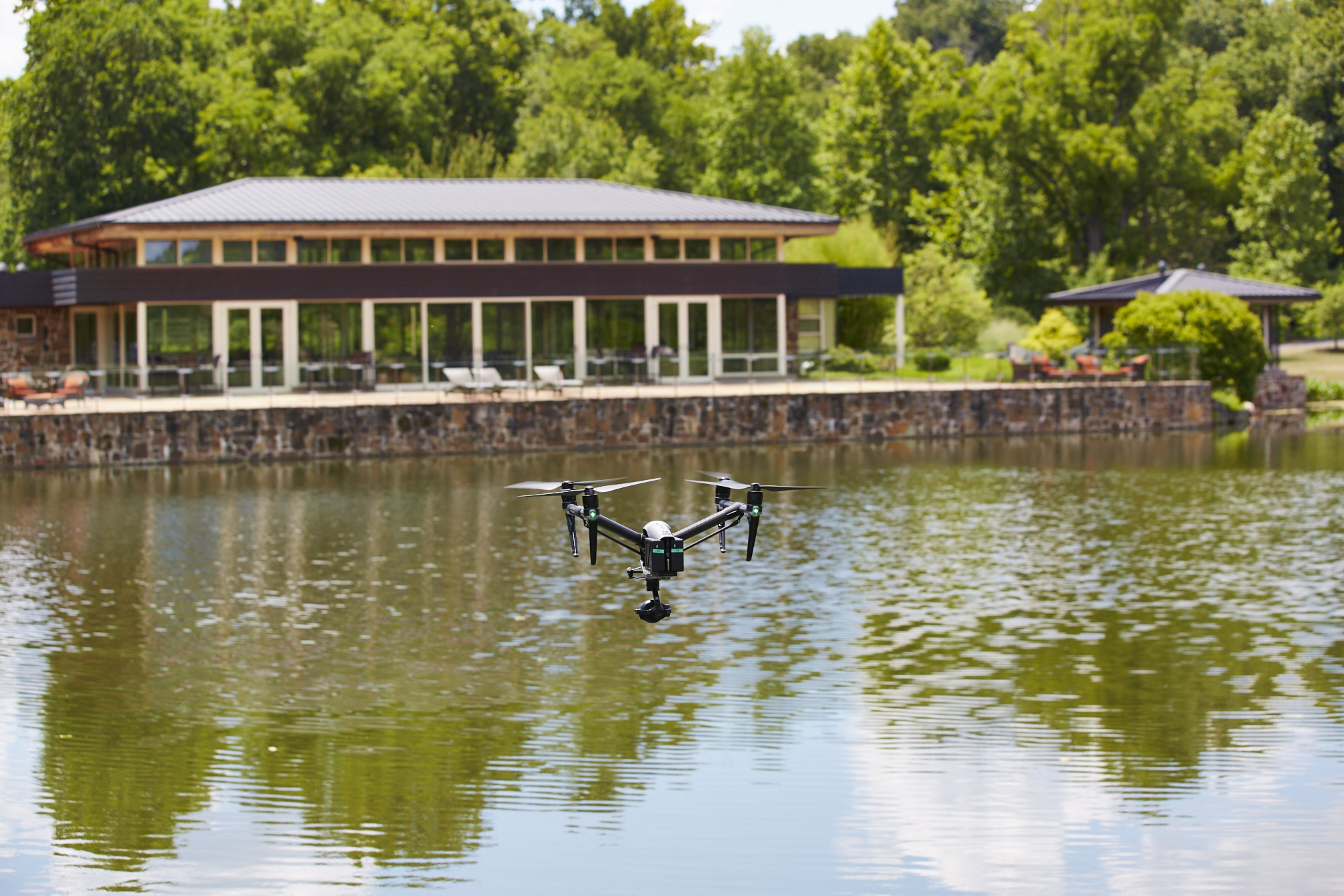
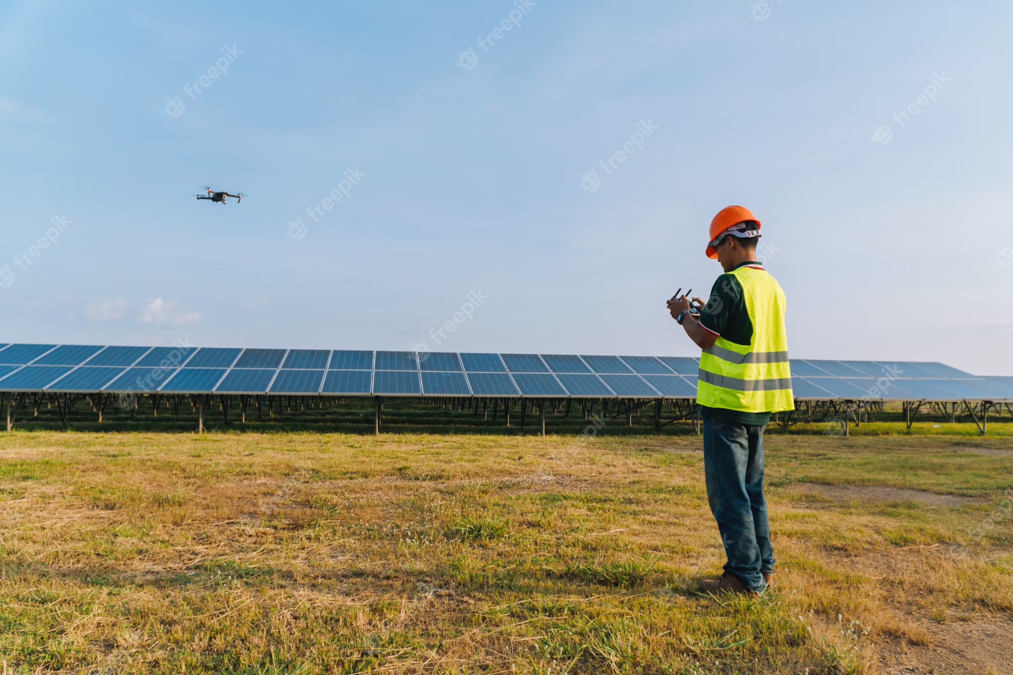
Aerial photography and drone video have become essential tools for modern marketing, construction documentation, corporate communications, real estate development, manufacturing, inspections, events and branded storytelling. But successful drone production is not just about putting a drone in the air. It requires licensed pilots, professional production planning, safe operating procedures, the right aircraft for the assignment and an experienced creative crew that understands how aerial footage fits into the larger marketing message.
At St Louis Drone Services, we approach every aerial project from both a production standpoint and a practical business standpoint. The goal is not simply to capture impressive views. The goal is to create useful, polished, brand-focused visual content that supports your communication strategy, sales process, documentation needs or internal presentation.
Why Licensed and Insured Drone Services Matter
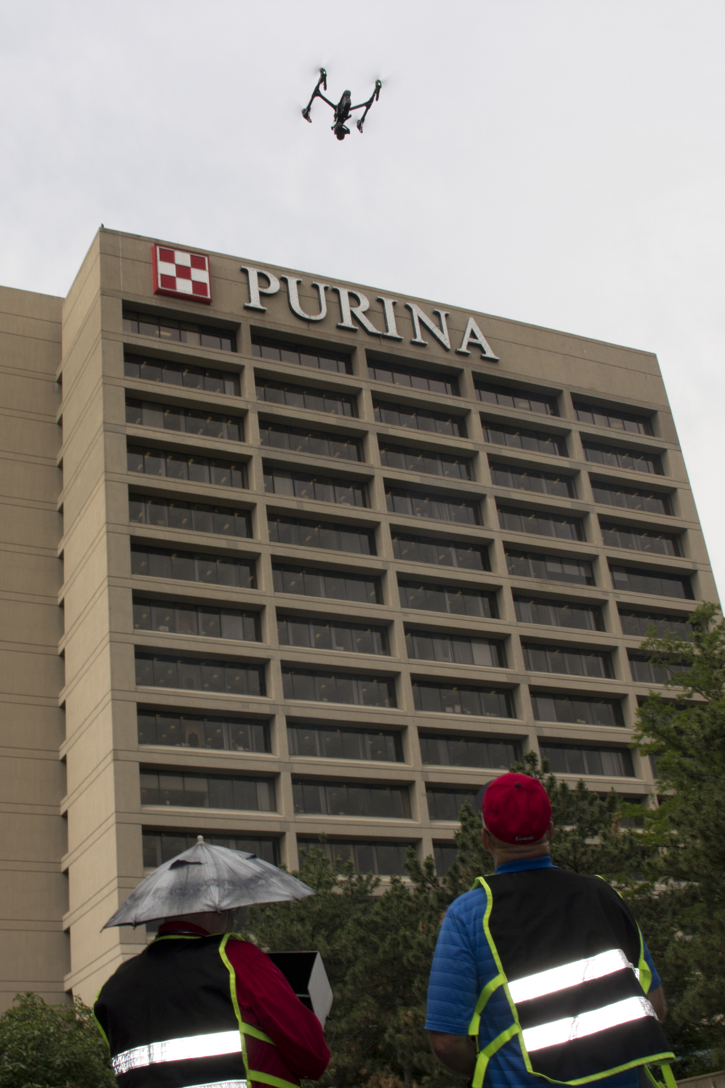
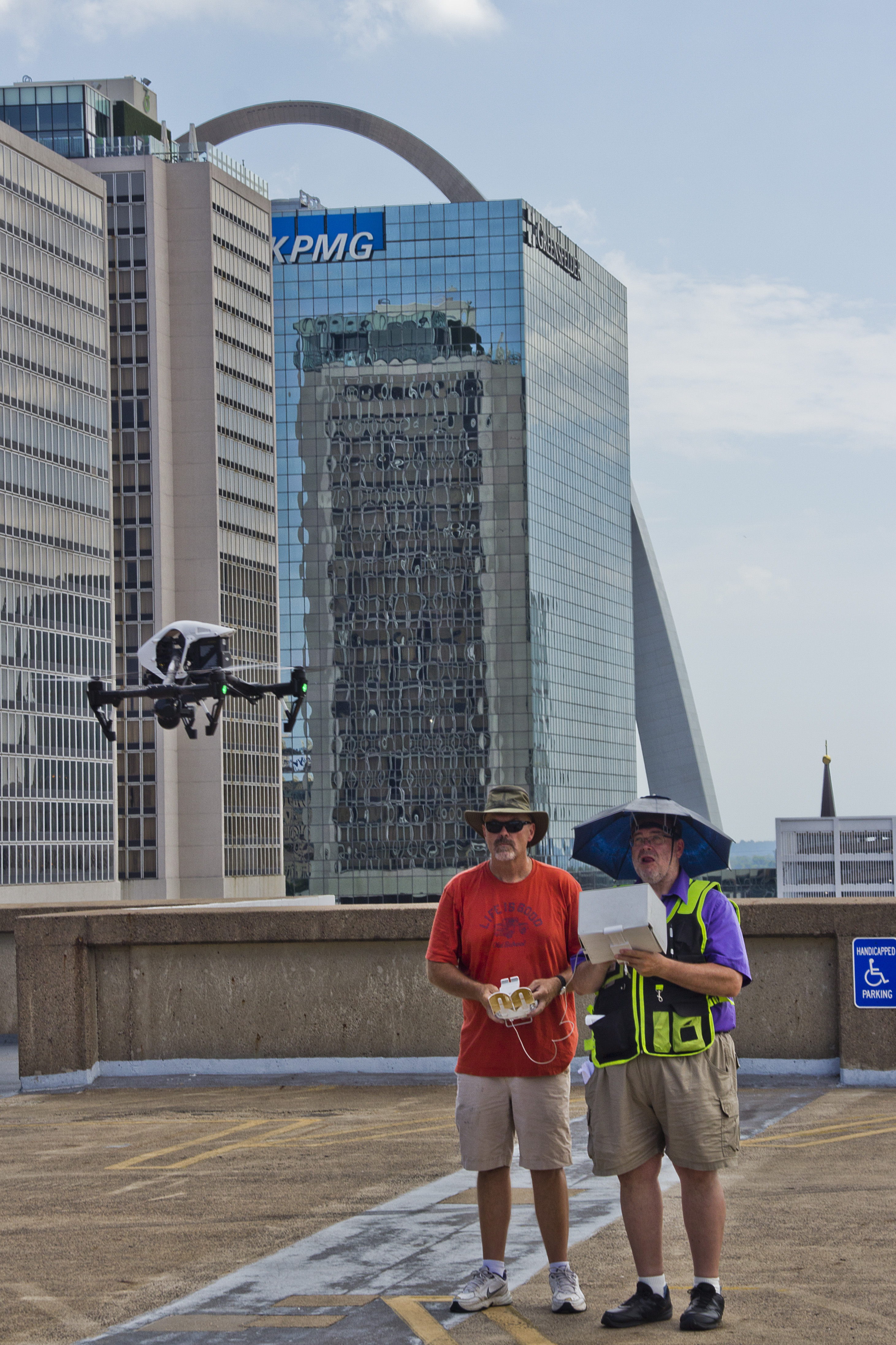
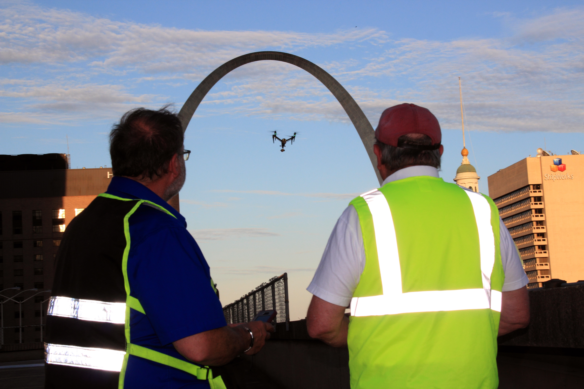
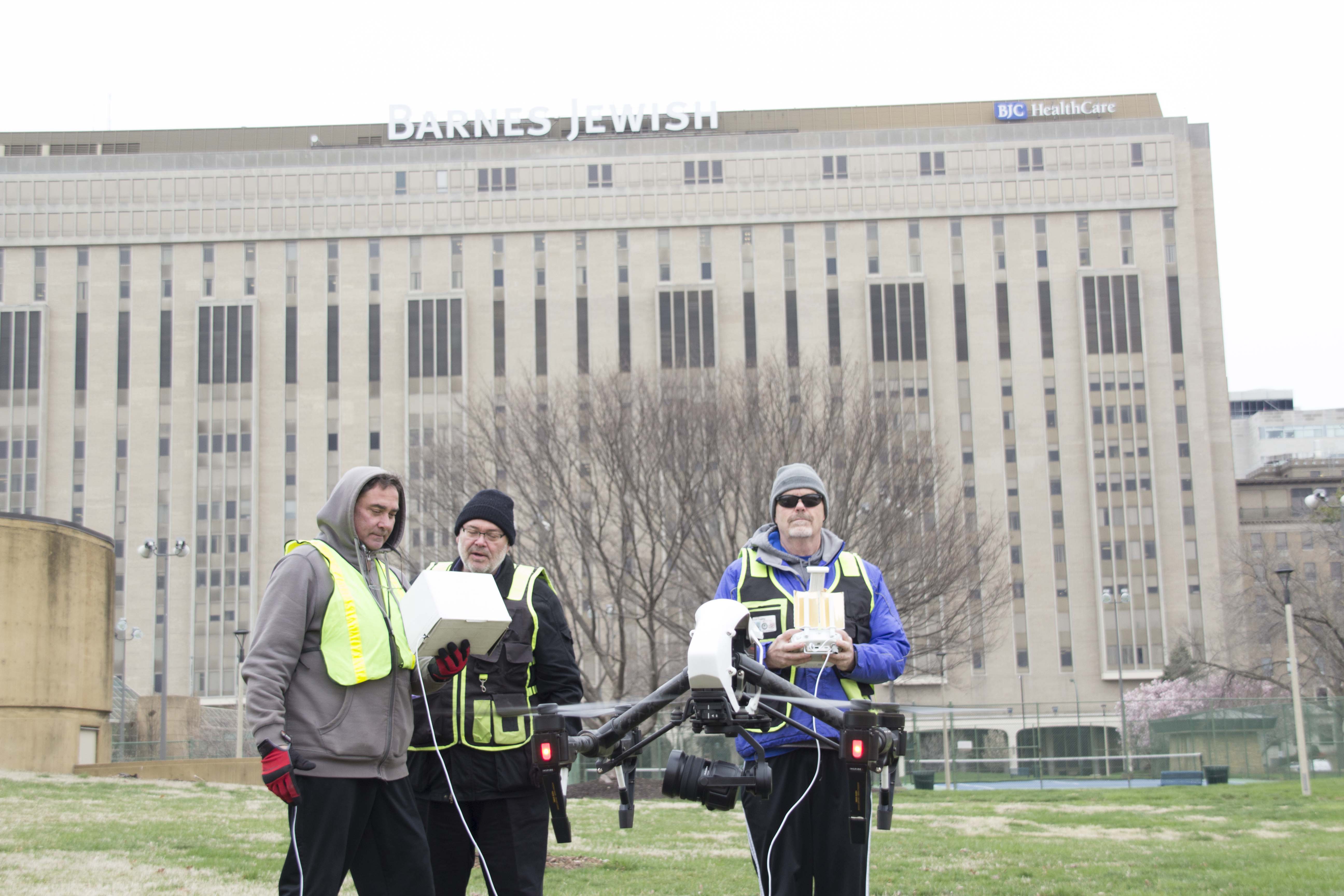
Hiring a licensed and insured drone crew protects the client, the production and the final result. Drone work often involves more than beautiful aerial footage. It may include flight planning, location review, property coordination, airspace awareness, safety considerations, weather evaluation, timing, ground crew communication and post-production integration.
For businesses, marketing firms and creative agencies, this matters because aerial production often happens in active environments. A drone may be operating around buildings, employees, customers, vehicles, construction zones, industrial properties, event spaces, warehouses or indoor facilities. An experienced drone crew understands how to work efficiently while respecting safety, privacy, access, scheduling and production requirements.
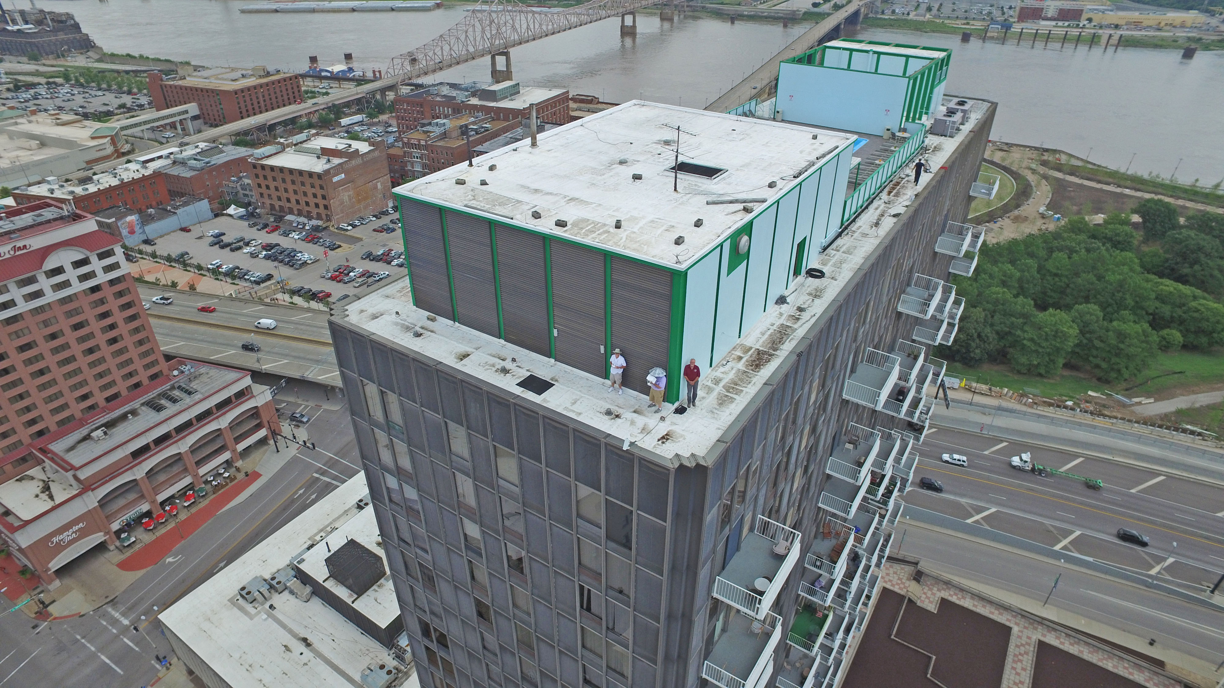
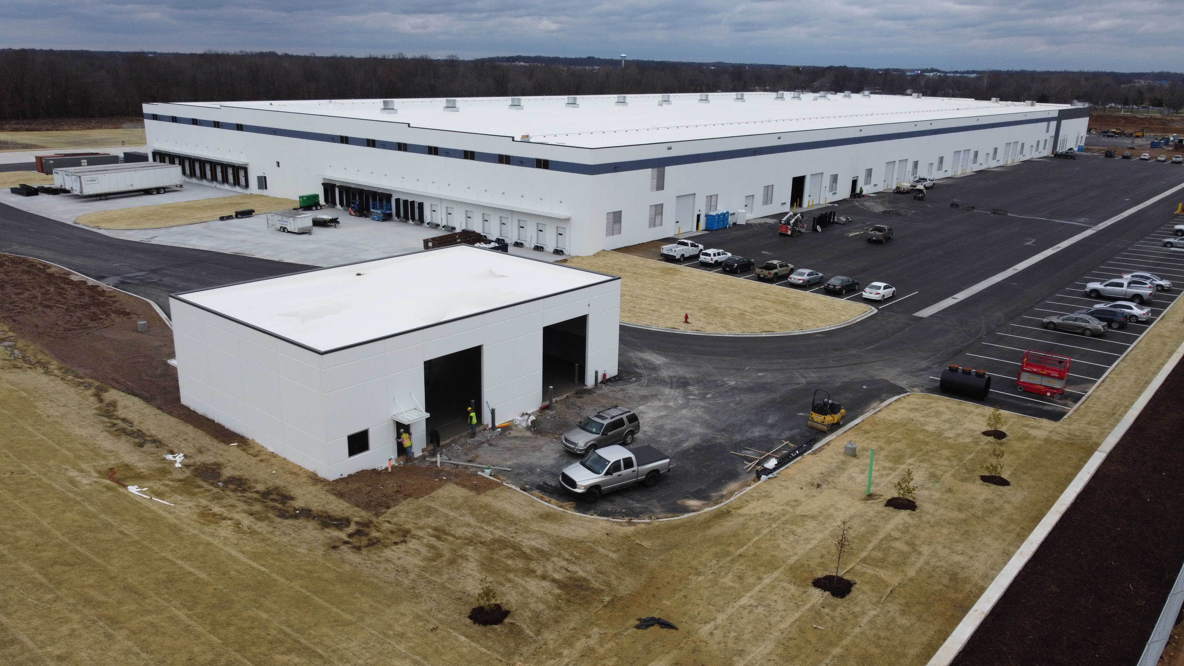
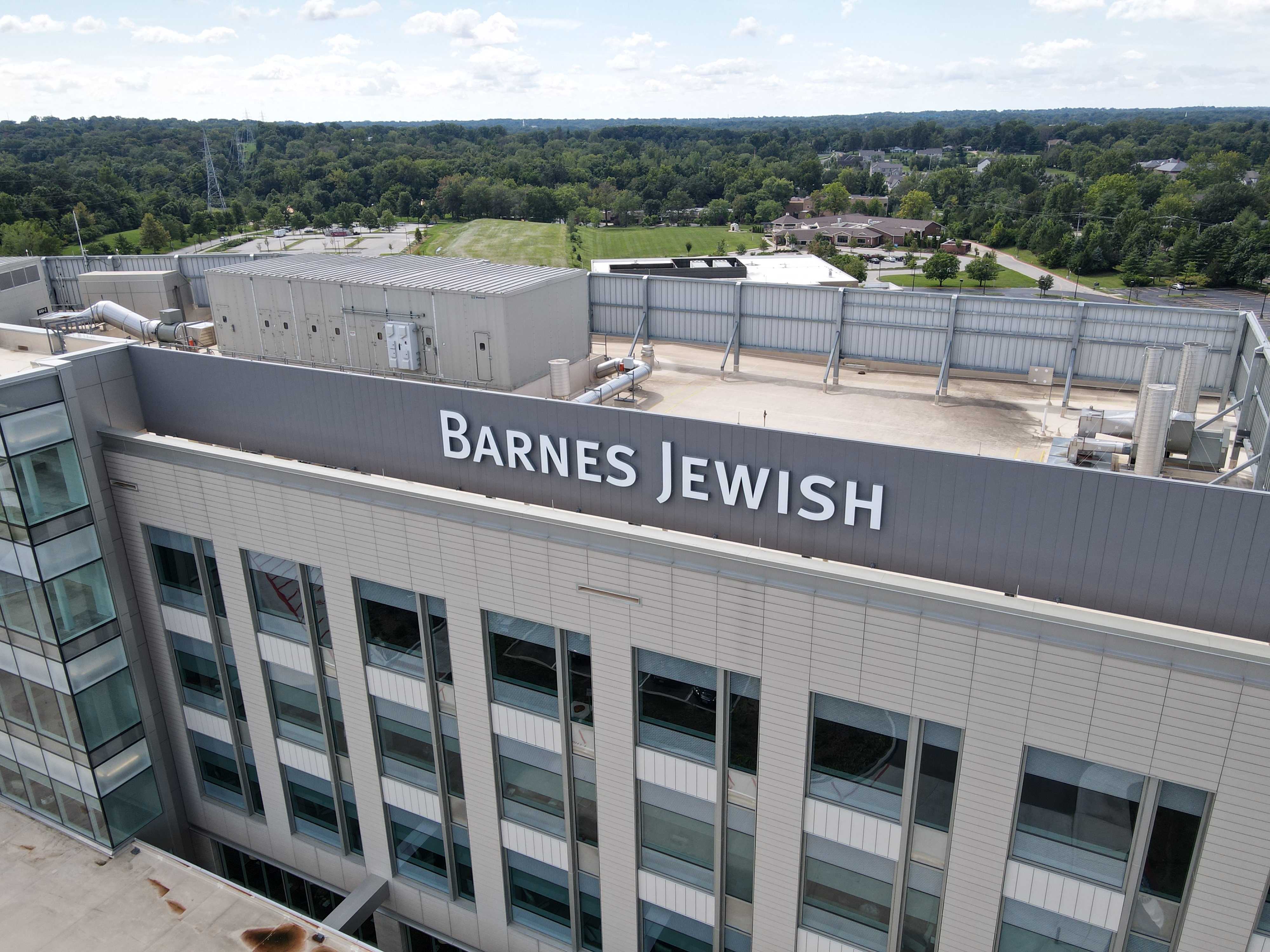
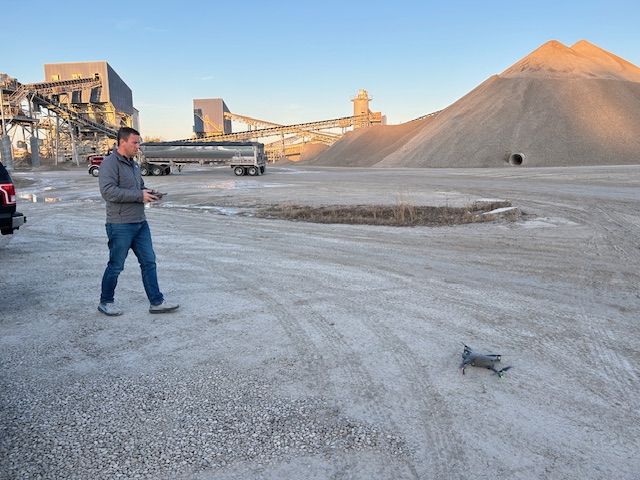
St Louis Drone Services provides licensed drone services for projects ranging from simple aerial photography to more advanced drone assignments involving FPV drone footage, infrared thermal imaging, orthomosaics and LiDAR. Whether the need is a clean establishing shot, a complete marketing video, a visual site overview or technical imaging support, the production should begin with the right planning and the right crew.
Drone Photography and Video for Marketing
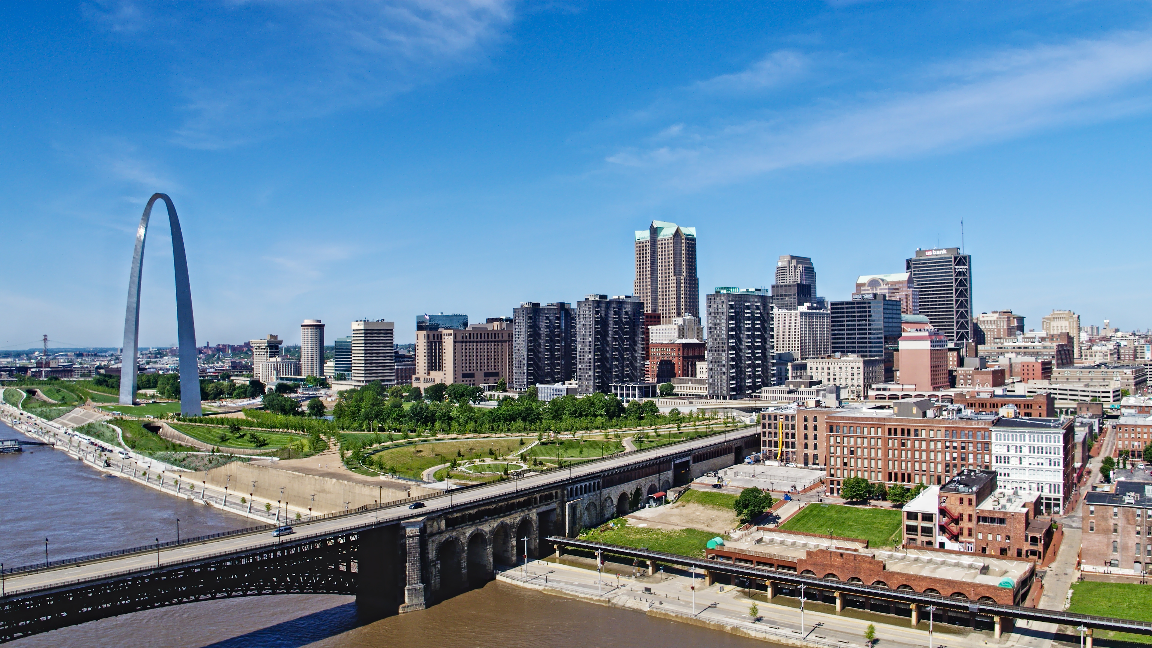
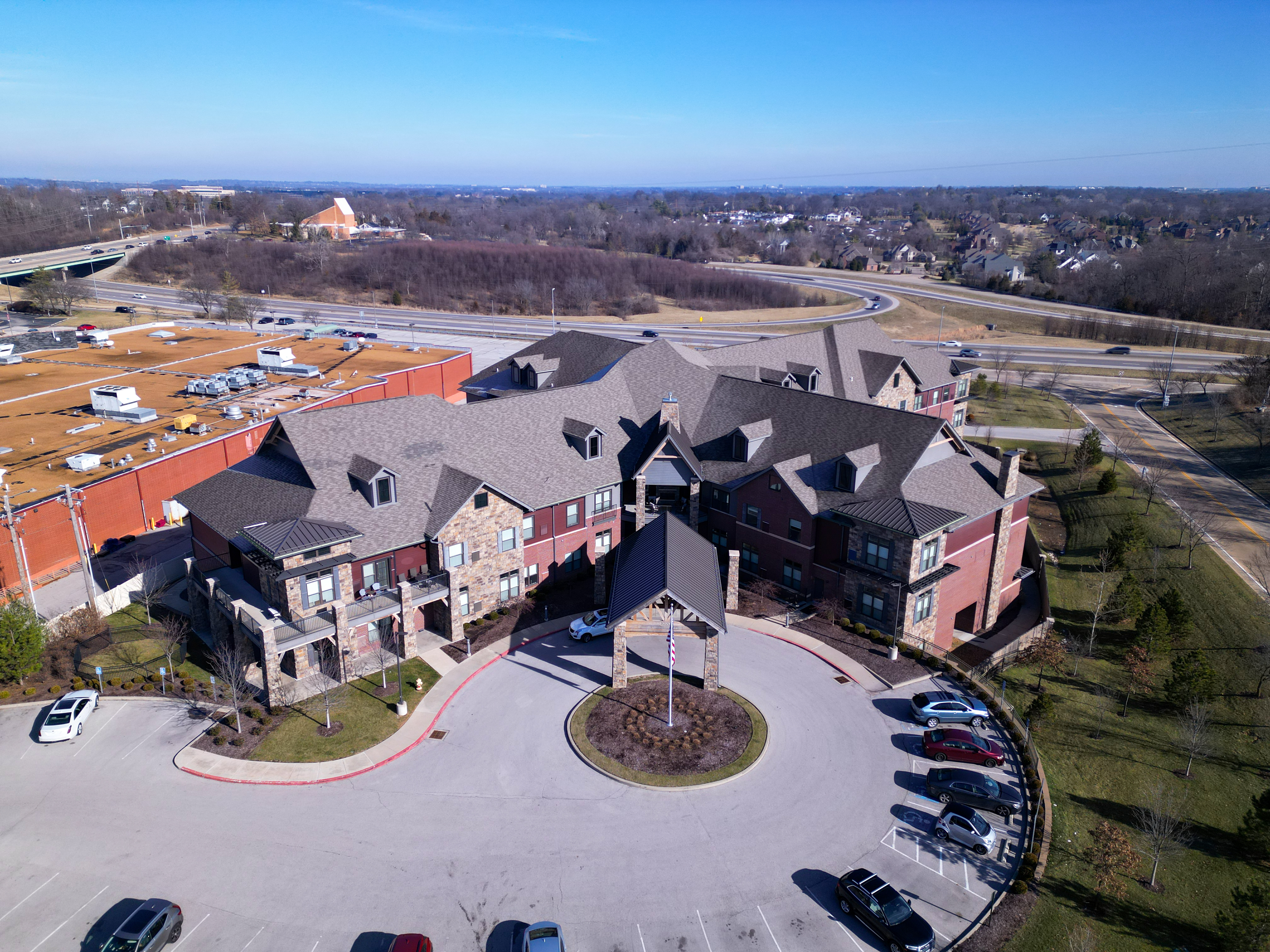
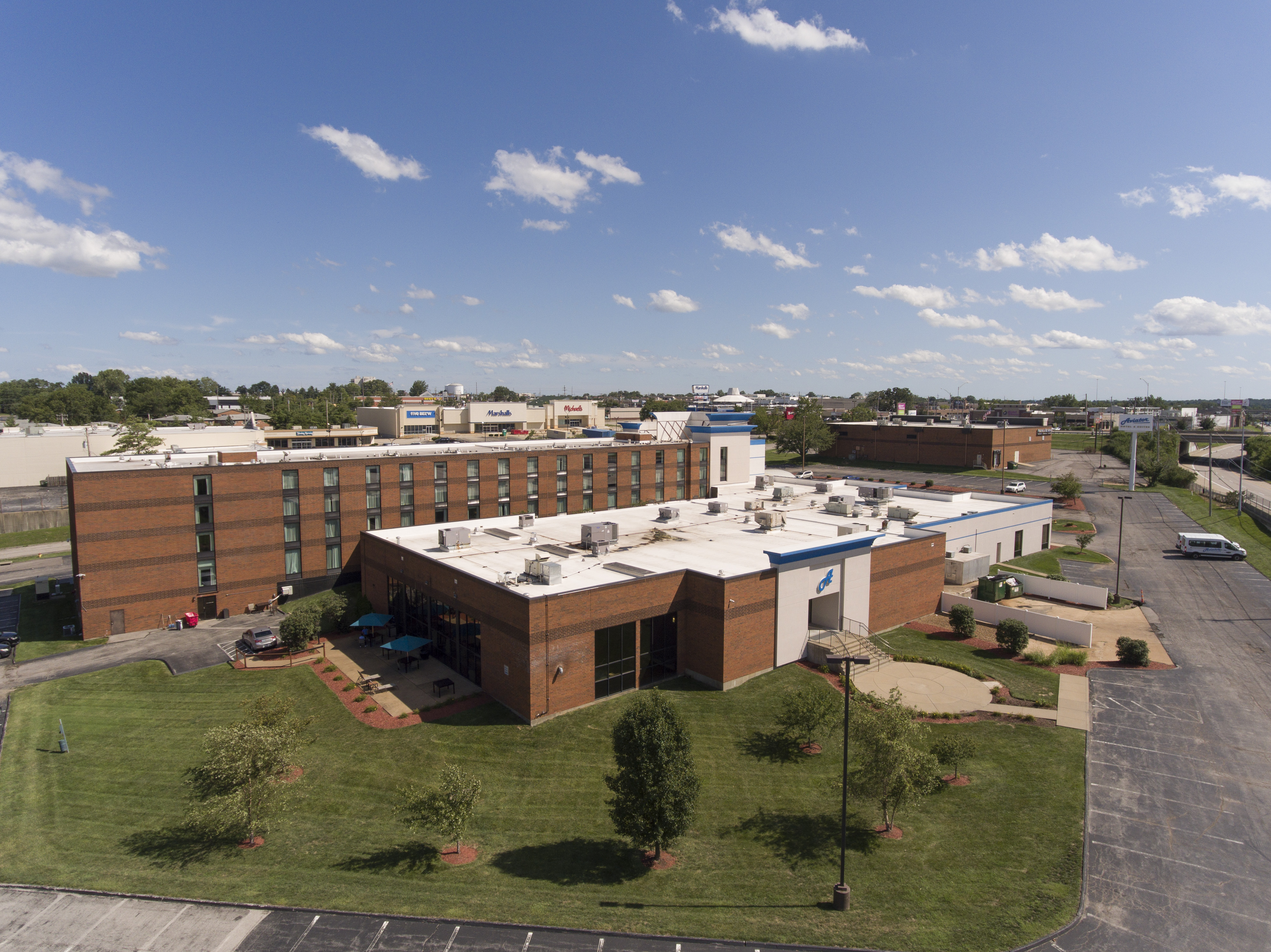
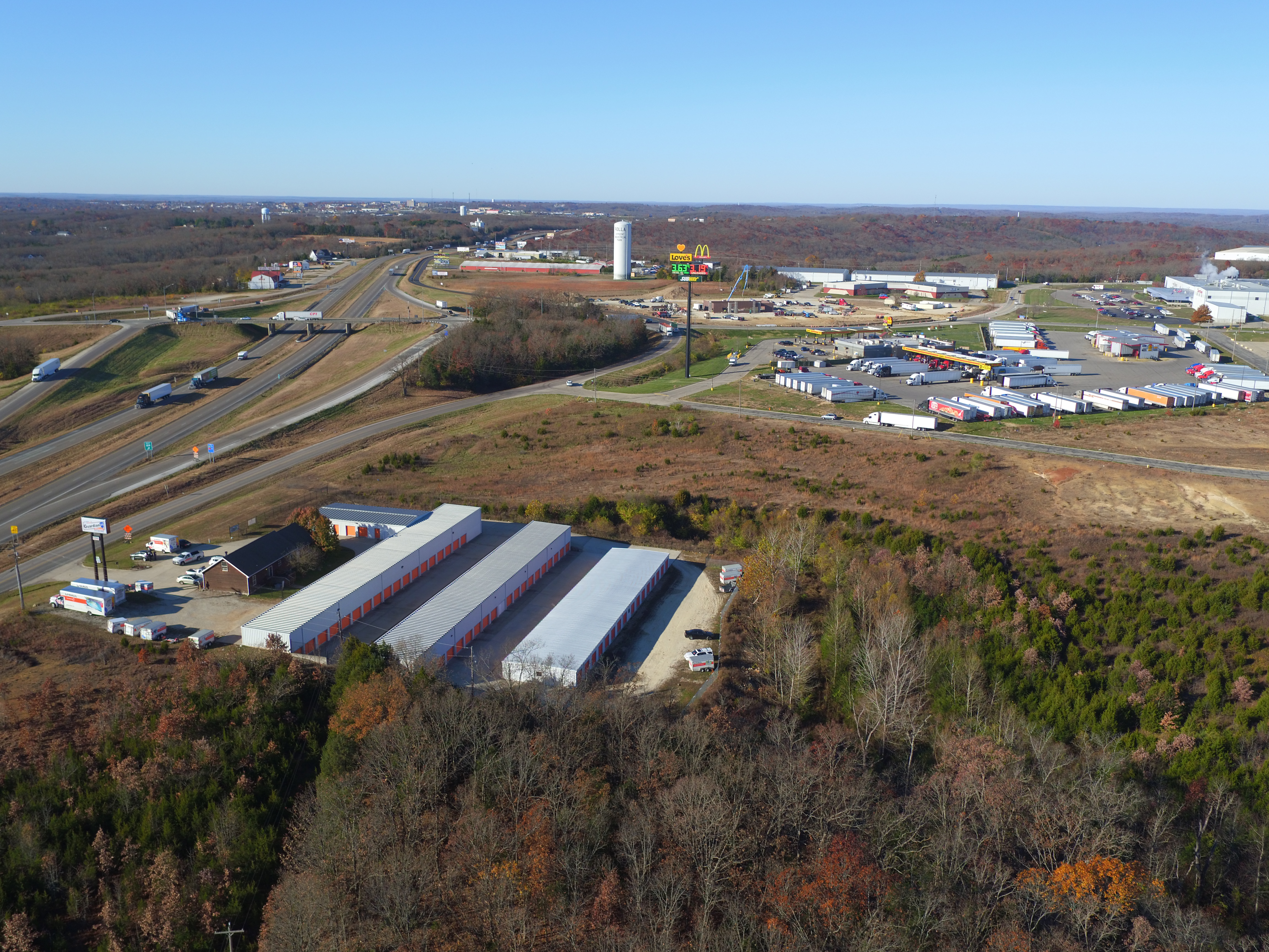
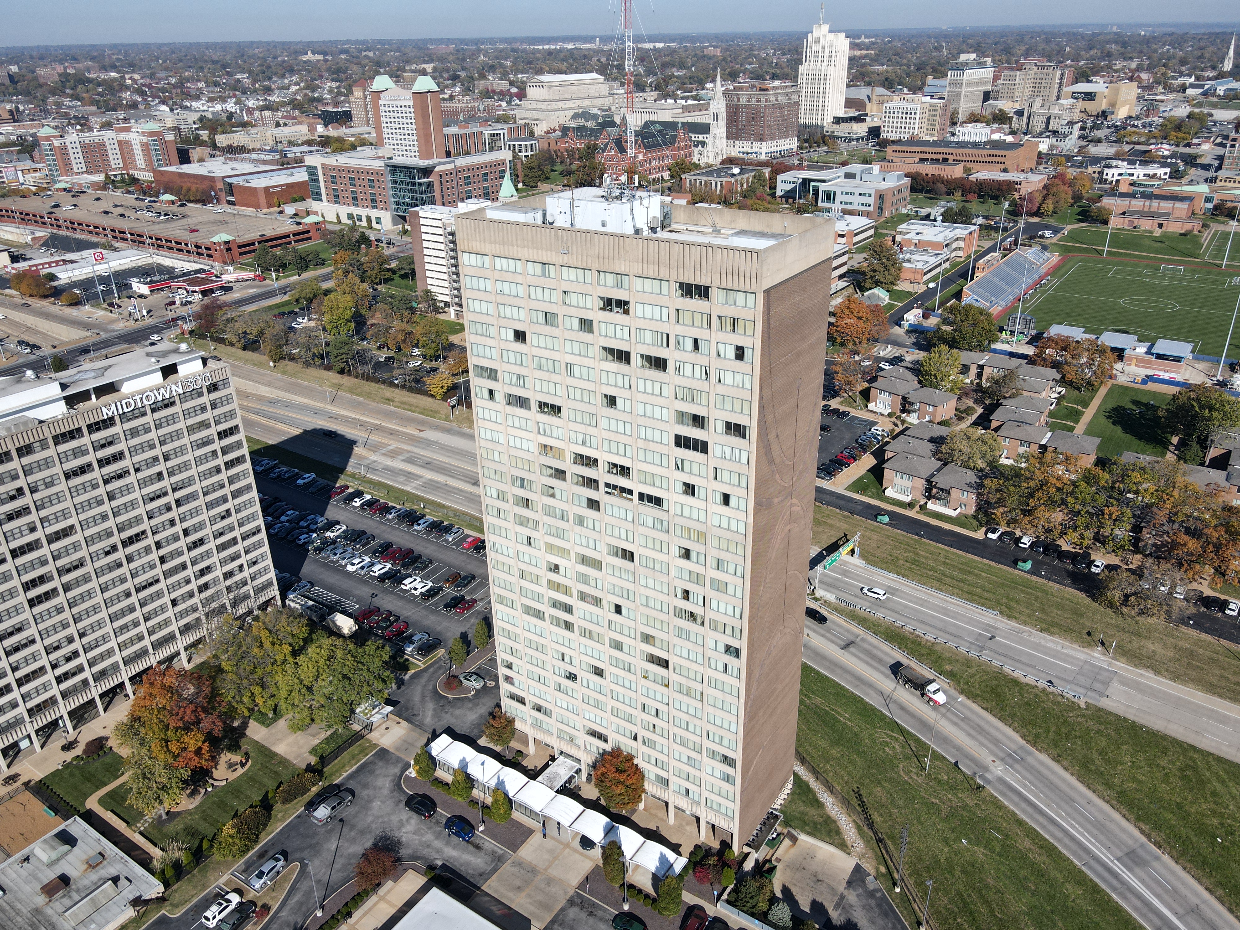
For marketing teams, aerial content creates scale, context and visual interest. A well-produced drone shot can introduce a facility, reveal the size of a property, show traffic flow, highlight architecture, document an event or add cinematic movement to a corporate video.
Drone footage is especially effective when combined with ground-level video, interviews, b-roll, photography and post-production editing. Aerial visuals can establish the scene, while traditional camera coverage tells the human story. This combination is often stronger than drone footage alone because it gives the viewer both perspective and detail.

Examples of effective drone marketing applications include:
Corporate facility videos
Commercial real estate presentations
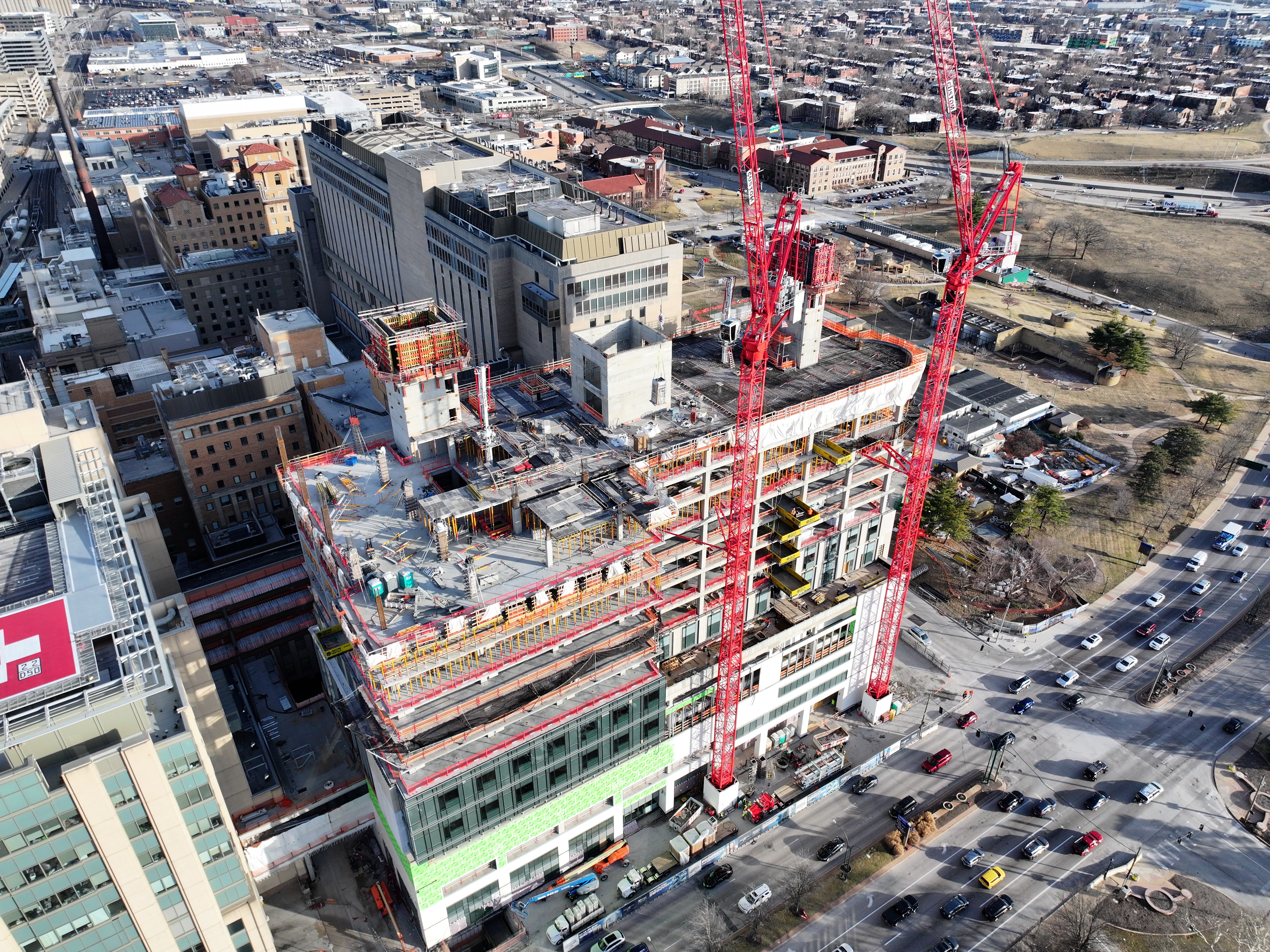
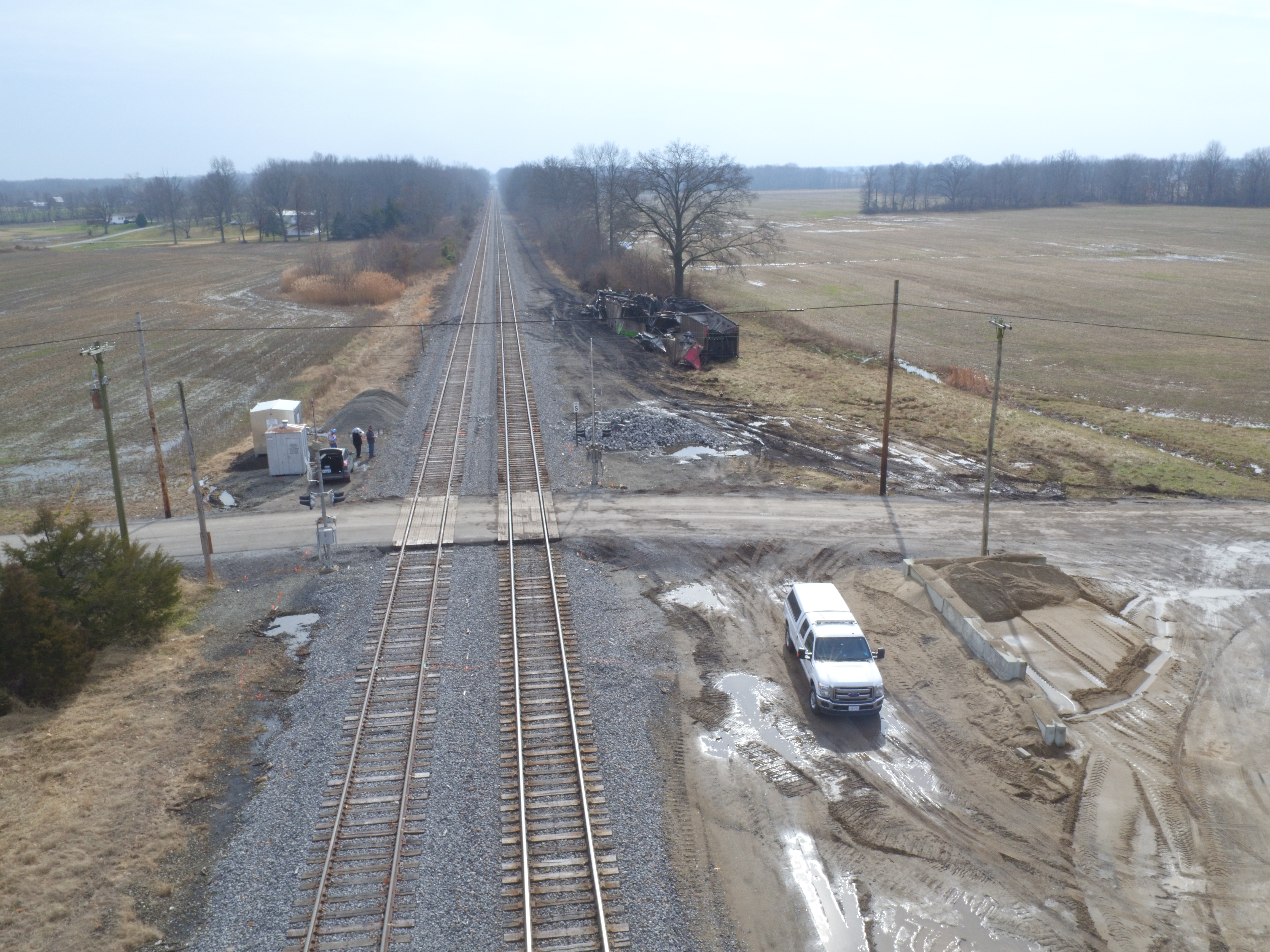
Construction progress documentation
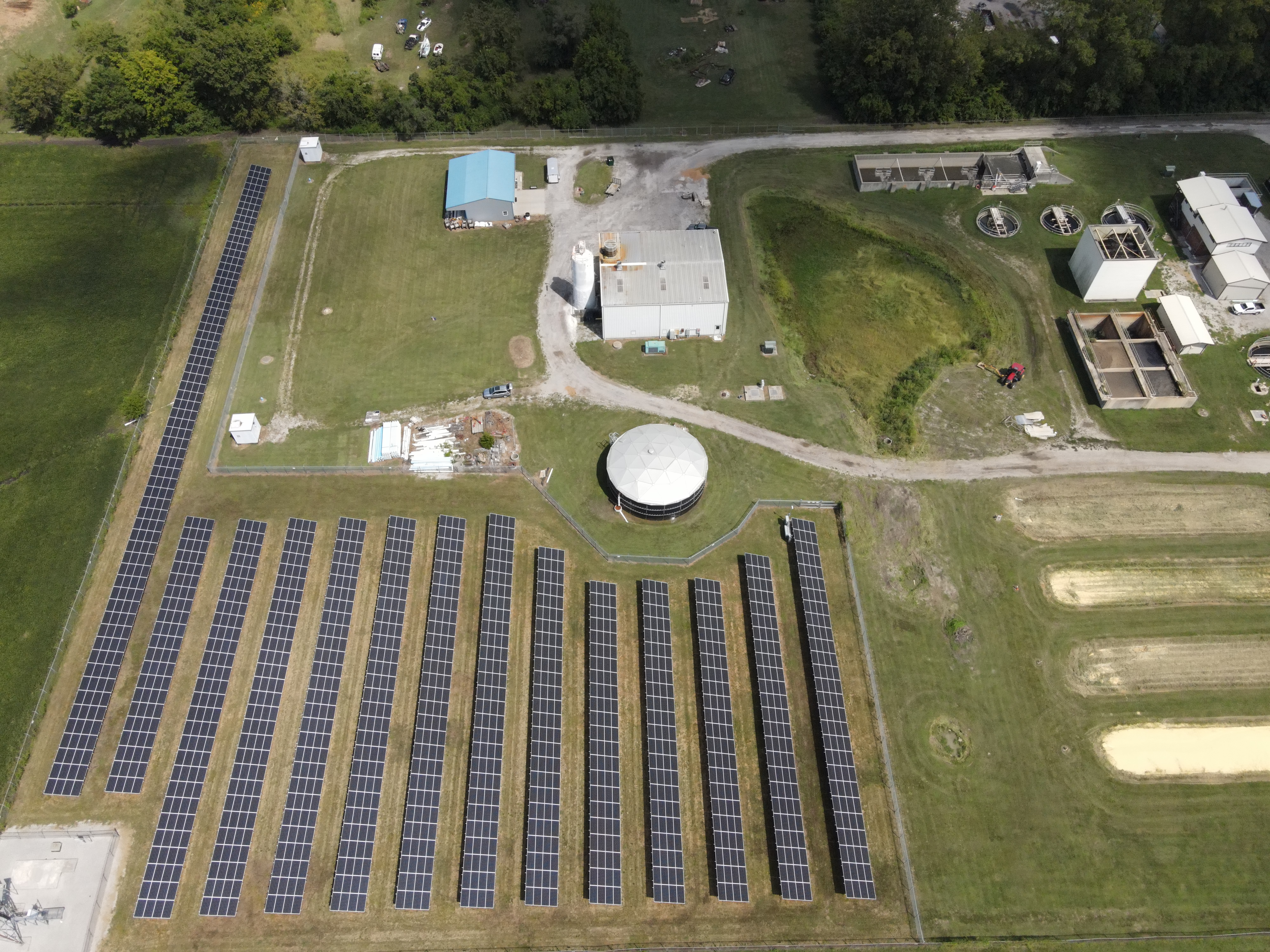
Manufacturing and industrial marketing
Hospitality and campus overview videos
Event highlight reels
Tourism and destination marketing
Recruiting and workforce development videos
Social media content packages
Website header videos and brand films
The strongest projects are planned with the final use in mind. A video for a website homepage may require a different approach than a short social media clip, a trade show loop, a client presentation or a construction update. St Louis Drone Services can help shape the production around the intended platform, audience and message.
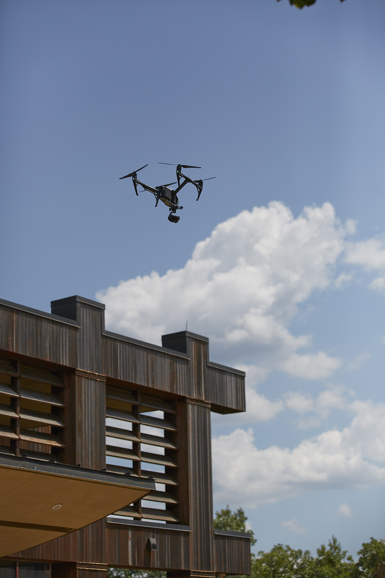
Simple Aerial Projects Still Require Professional Execution
Not every drone assignment is complex. Some clients need a straightforward aerial photo, a brief video clip, a property flyover or updated visuals for a website. Even simple projects benefit from professional experience.
Good aerial production depends on timing, camera angle, altitude, lens choice, sun direction, weather, movement and composition. A rushed or poorly planned drone flight can result in unusable footage, distracting shadows, harsh lighting, weak framing or shots that do not support the project’s message.
Experienced drone pilots know how to capture purposeful footage. They understand when to fly higher for scale, when to fly lower for detail, when to move slowly for elegance and when to use motion to create energy. This is where production experience makes a major difference.

Advanced Drone Capabilities for Specialized Projects
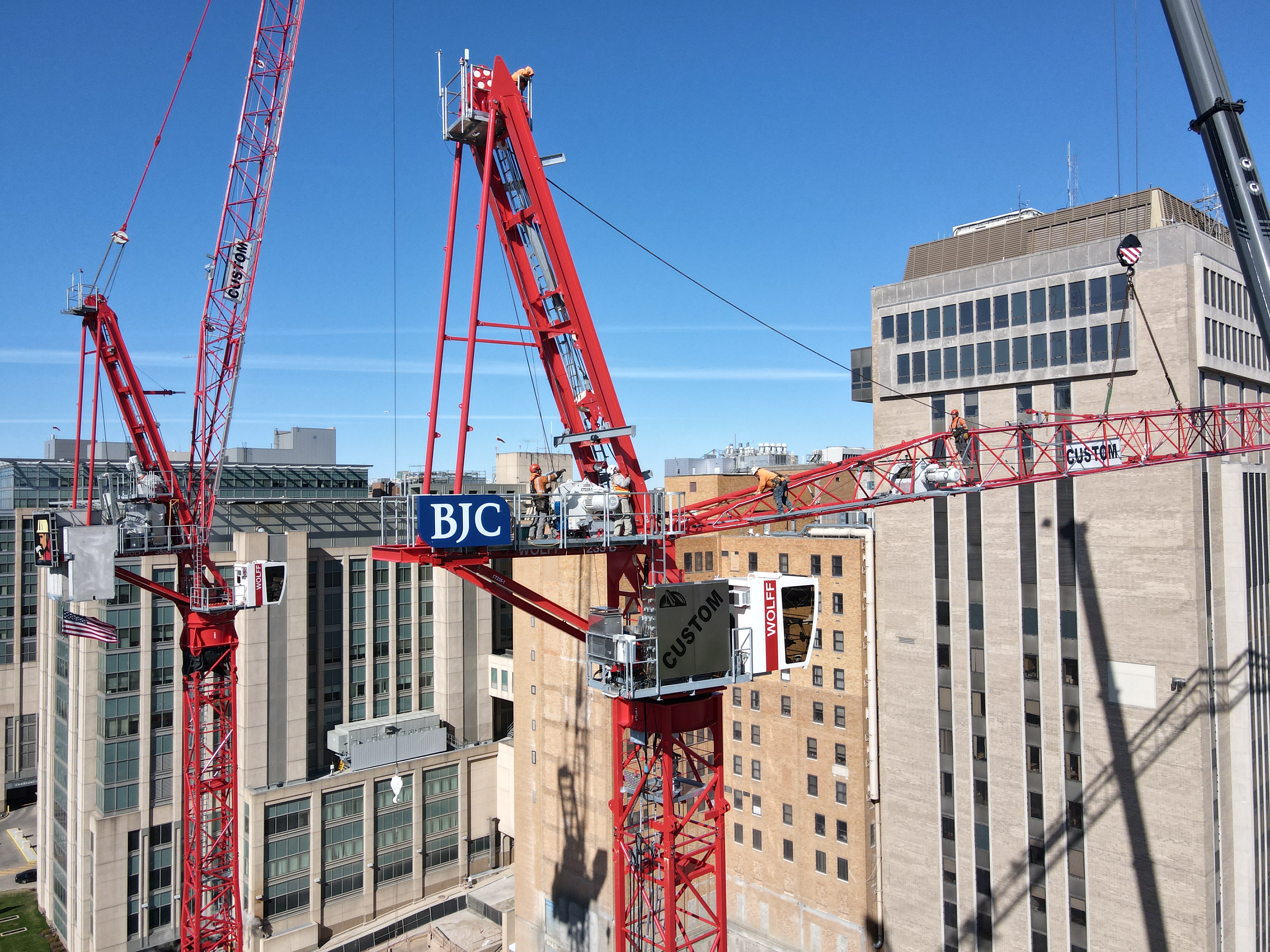
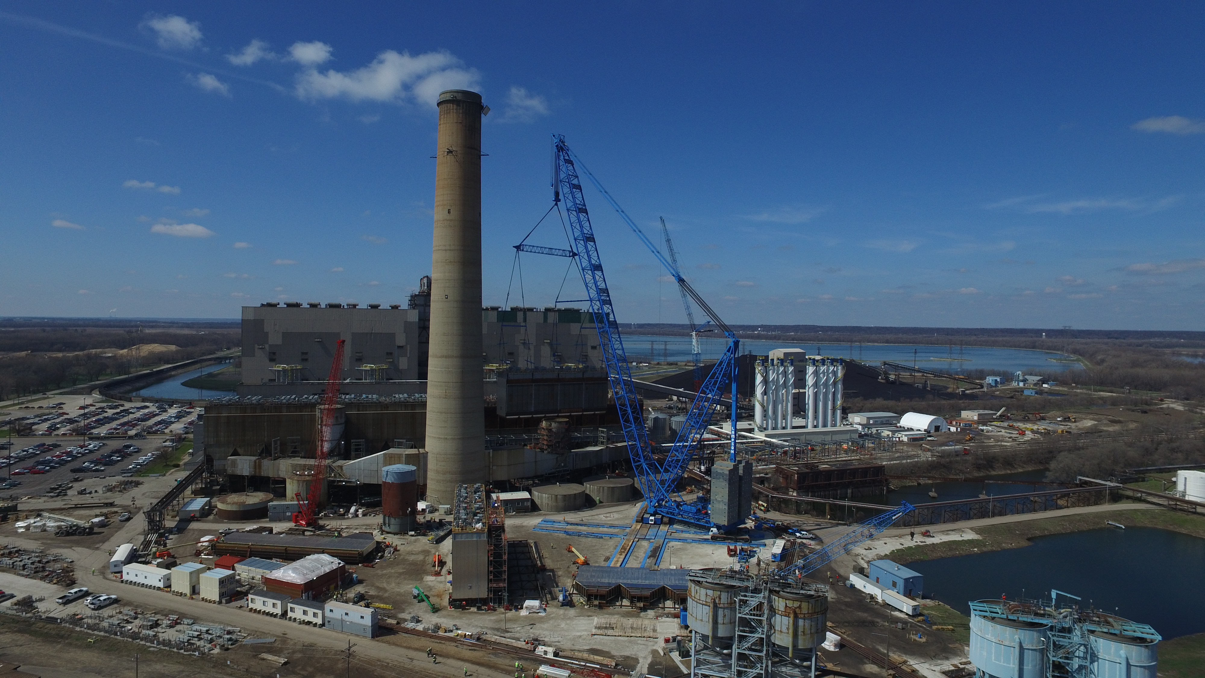
Some aerial projects require more than standard drone photography and video. St Louis Drone Services offers advanced drone capabilities for specialized visual and technical applications.
Indoor FPV Drone Flights
St Louis Drone Services can fly specialized FPV drones indoors, creating dynamic footage through offices, warehouses, studios, manufacturing areas, event spaces and other interior environments. FPV drone footage can give viewers a fast, immersive tour that traditional cameras may not be able to capture in the same way.
Indoor drone work requires careful planning. The pilot must consider people, lighting, space, obstacles, air movement, surfaces, ceiling height and the desired visual path. When executed properly, indoor FPV drone video can be a powerful tool for facility tours, promotional videos, recruiting content and brand storytelling.
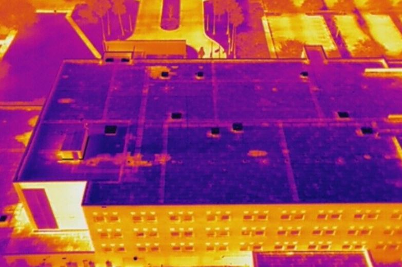
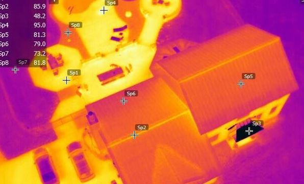
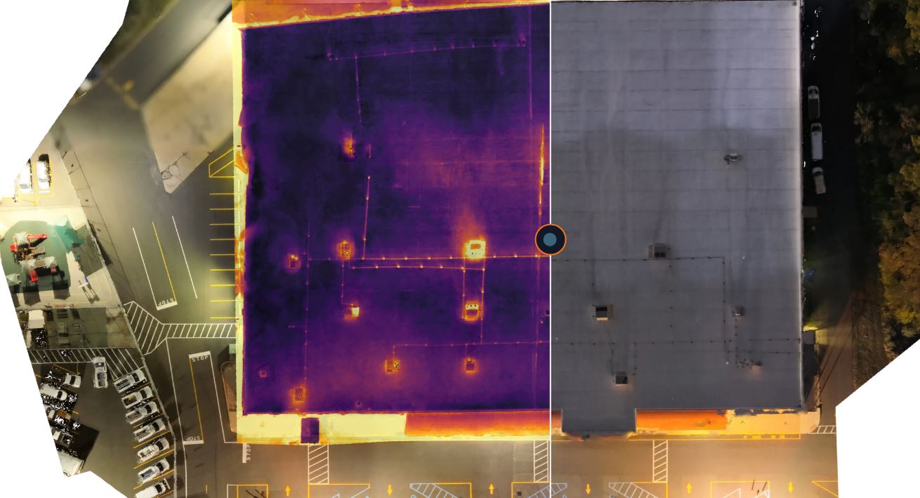
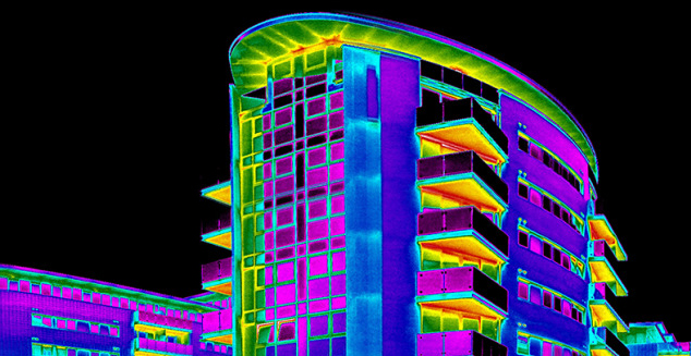
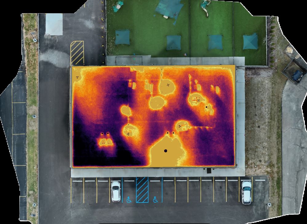
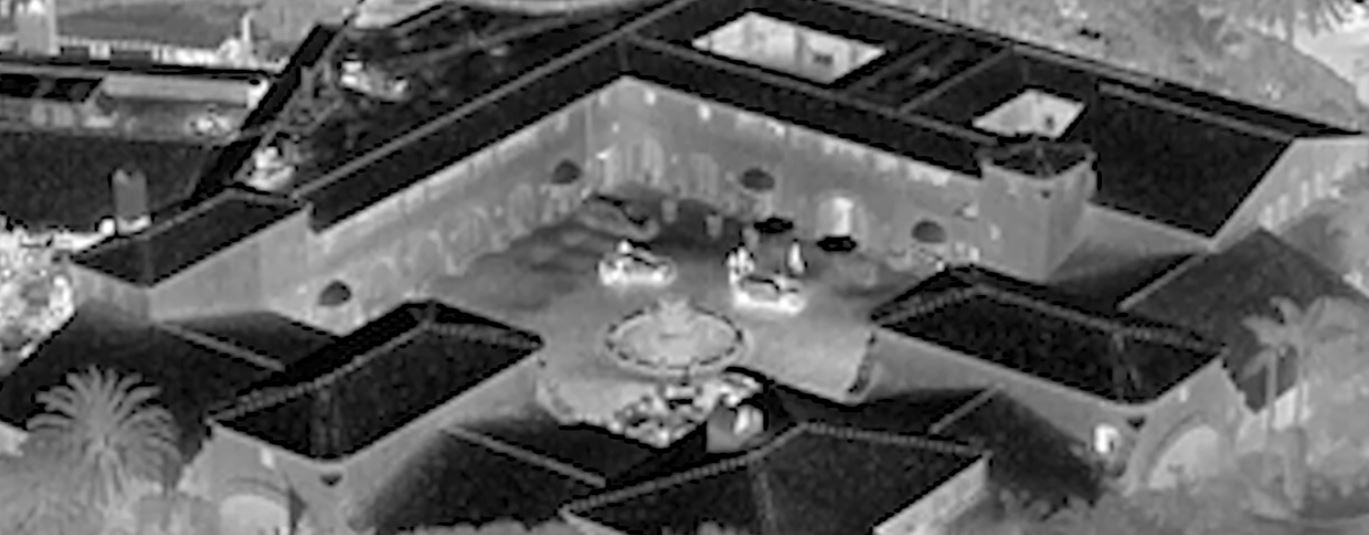
Infrared Thermal Drone Services
Infrared thermal drone imaging can be useful for visualizing heat patterns, identifying potential energy loss, documenting roof conditions, supporting certain inspection workflows and providing another layer of information beyond standard photography. Thermal drone work requires both the right equipment and an understanding of how environmental conditions can affect the imagery.
For business and facility-related applications, thermal imaging can support documentation and analysis when used appropriately as part of a broader inspection or evaluation process.
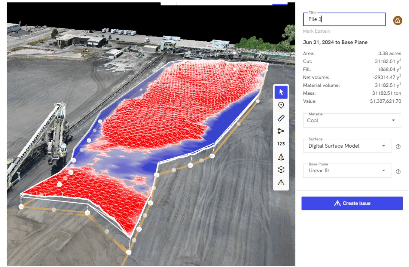
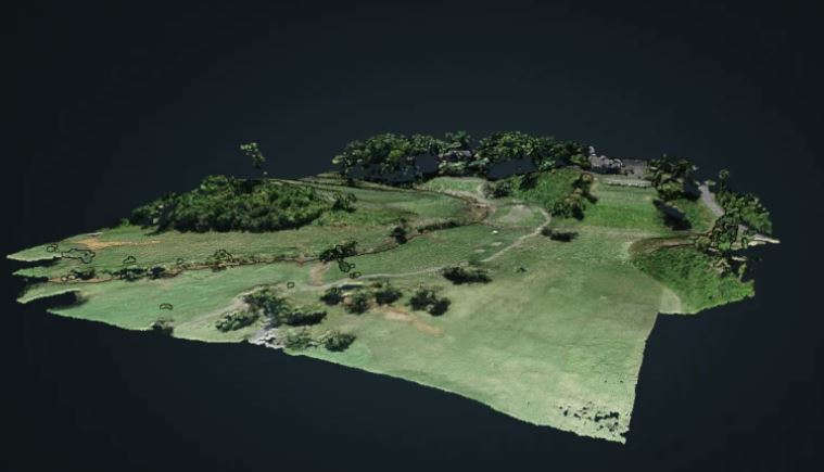
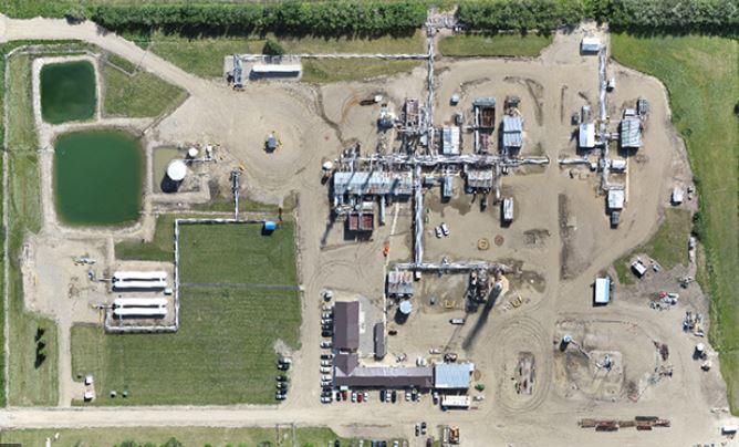
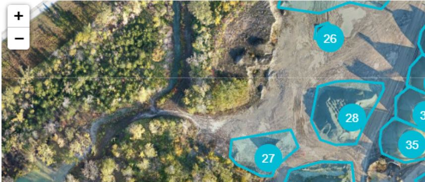
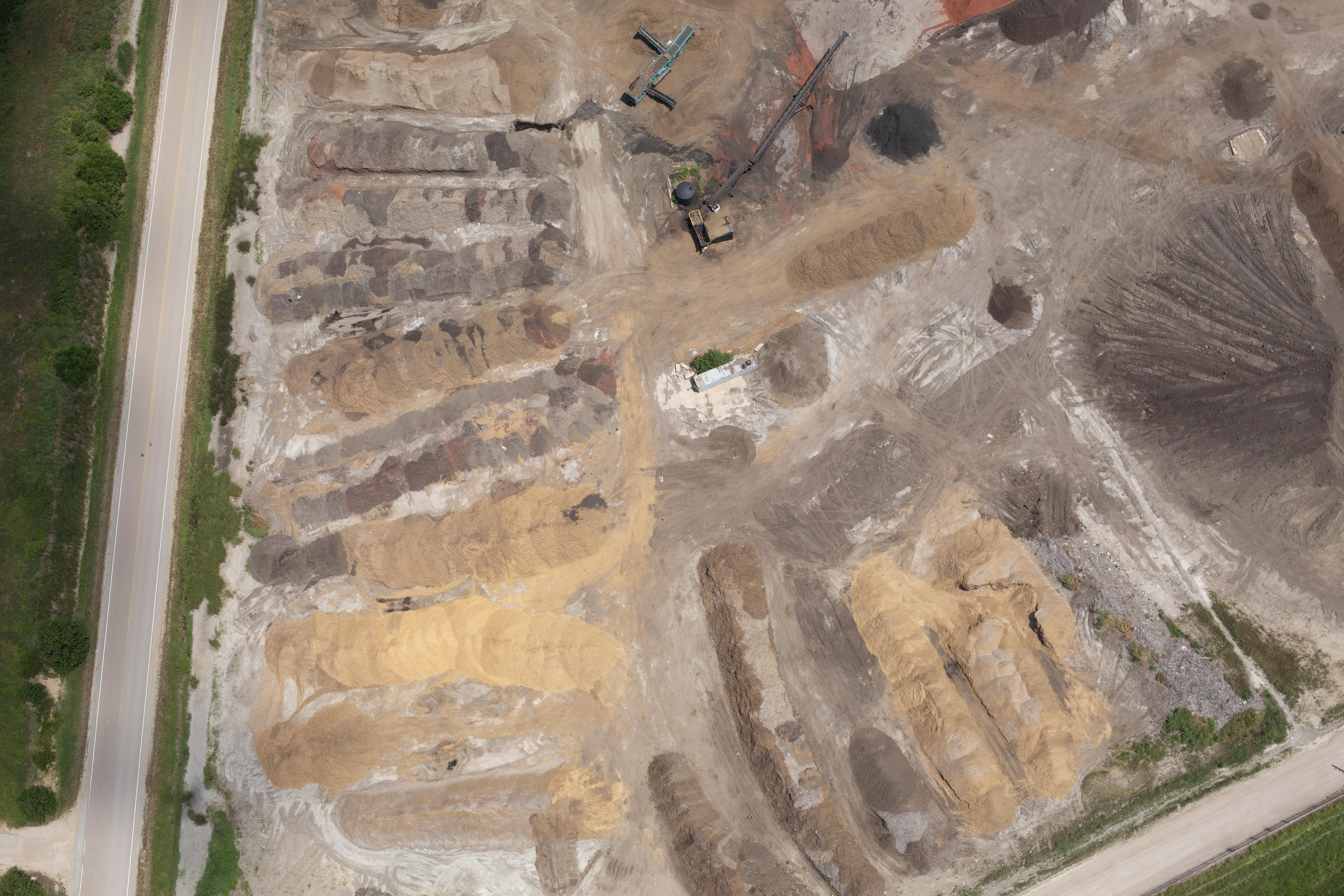
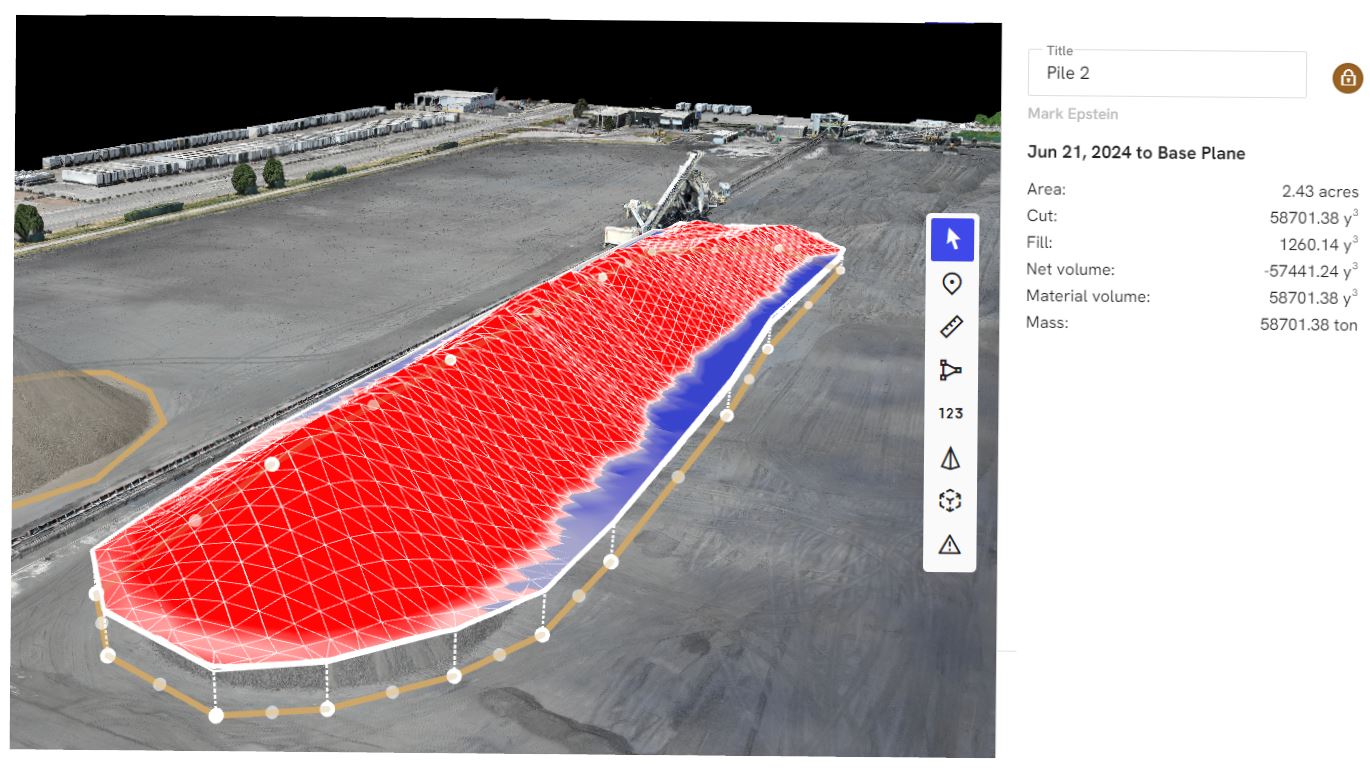
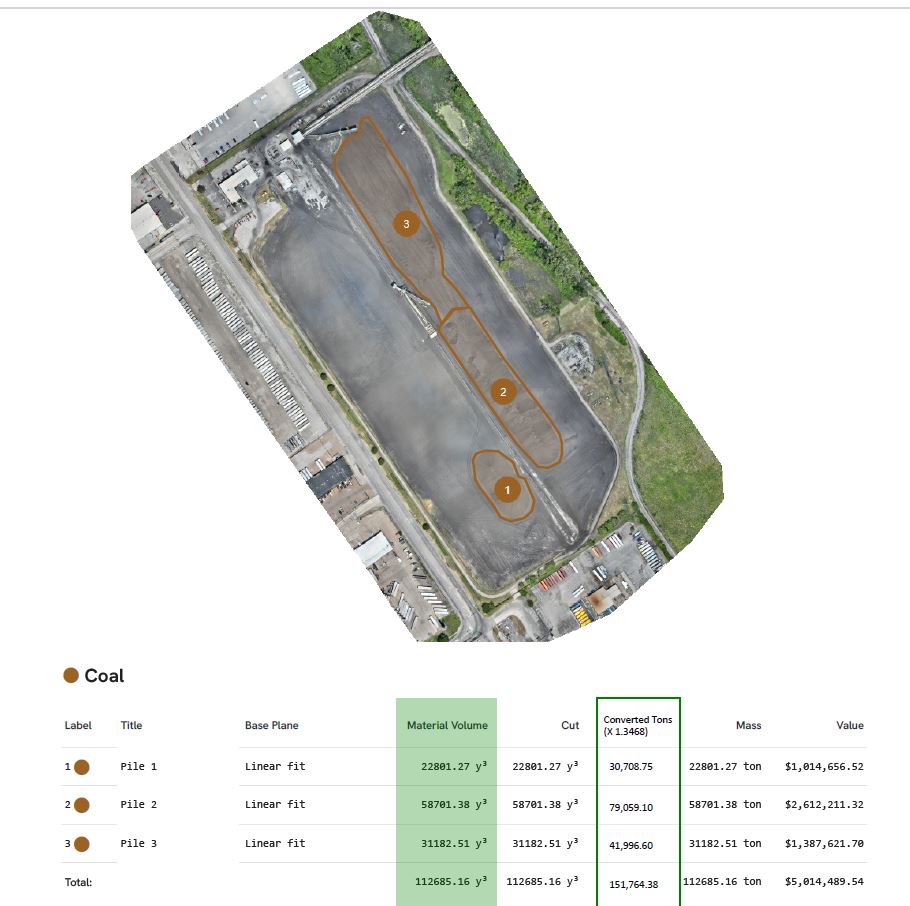
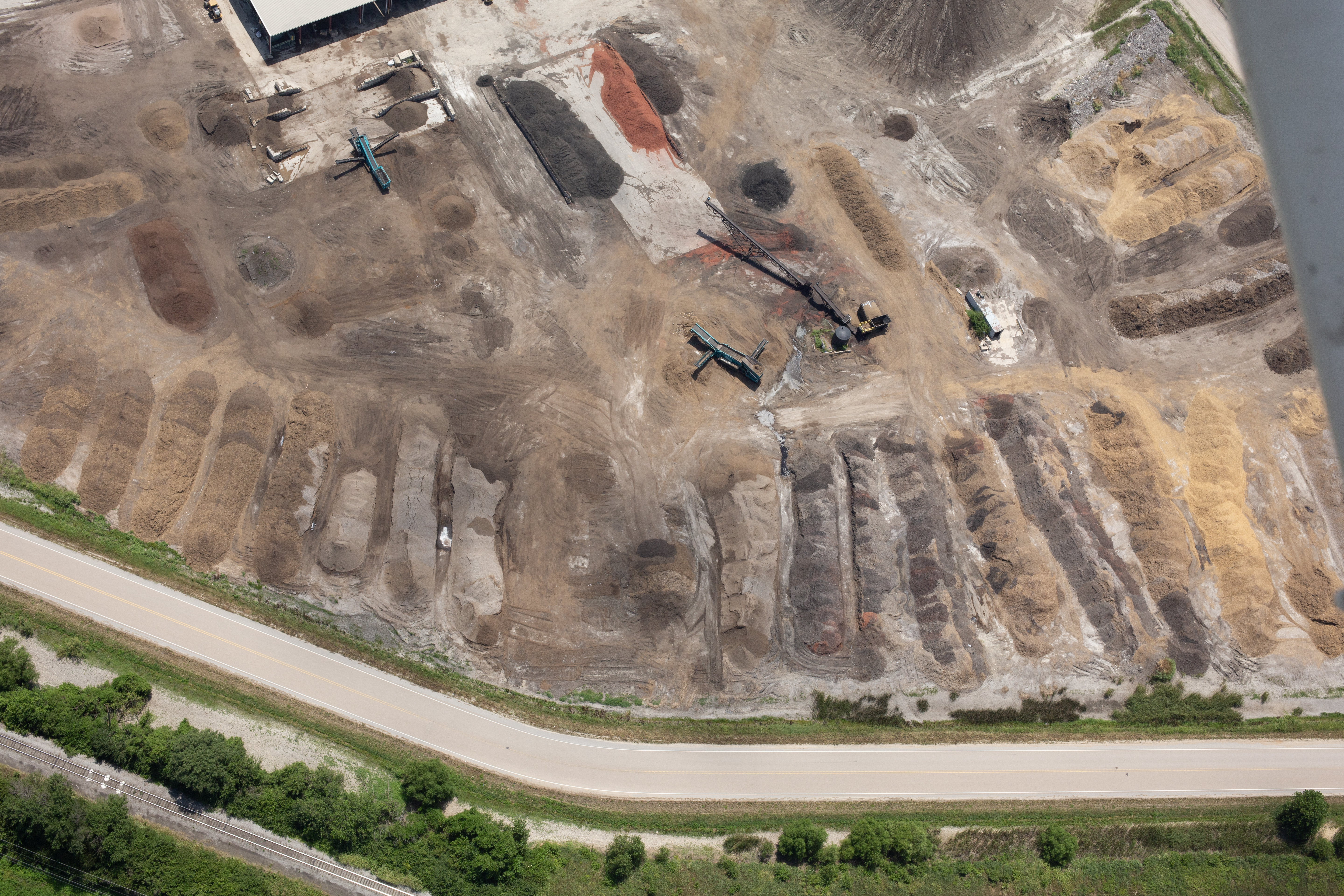
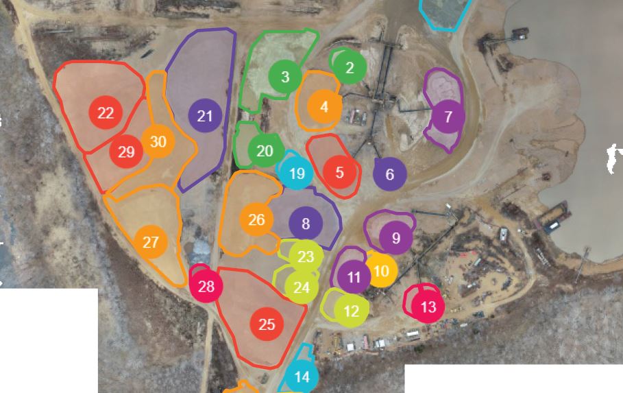
Orthomosaics
Orthomosaic imagery combines multiple aerial images into a corrected, map-like visual representation of a site. This can be useful for construction documentation, land use review, site planning, progress tracking and visual reference. Orthomosaics provide a larger, more organized view than a single aerial photograph and can help teams understand a site from above with greater clarity.
LiDAR
LiDAR drone services can be used for specialized mapping and measurement-related applications where elevation, structure, terrain or surface detail may be important. LiDAR is often valuable when a project requires more advanced spatial data than traditional photography can provide.
These advanced services are not always necessary for every project, but they are extremely valuable when the assignment requires documentation, measurement support, inspection assistance or technical visual data.
Full-Service Production Makes Drone Content More Valuable
Drone footage is most effective when it is integrated into a complete production plan. Aerial visuals may be only one part of the finished product. Many projects also require interviews, location b-roll, product shots, studio photography, narration, graphics, captions, music, editing and file delivery for multiple platforms.
As a full-service video and photography production company, St Louis Drone Services can support the entire production process. That means your aerial footage can be planned, captured, edited and repurposed as part of a larger visual campaign.
A single production day may generate content for:
Website videos
Sales presentations
Social media clips
Recruiting campaigns
Internal communications
Client updates
Trade show displays
Public relations materials
Training or orientation content
Still photography libraries
This is where experienced production planning saves time and increases value. Instead of treating drone footage as a standalone asset, it can become part of a complete media package.

Location Scouting and B-Roll Specialists
Strong video production depends on more than the main subject. It depends on the surrounding visuals that give the story texture and context. St Louis Drone Services brings location scouting and b-roll experience to help clients identify the best angles, supporting visuals, movement, backgrounds and environmental details.
For businesses and agencies, b-roll often becomes one of the most valuable parts of the final edit. It helps cover transitions, support interview soundbites, show operations, introduce locations and create a more polished finished piece. Drone b-roll can add scale and production value, while ground-level b-roll provides the detail and human connection.
Repurposing Drone Photography and Video for More Traction
One of the smartest ways to maximize a production budget is to repurpose visual assets across multiple channels. Aerial footage captured for one marketing video can often be edited into short social media clips, website backgrounds, presentation openers, still frames, promotional reels and branded content packages.
St Louis Drone Services understands how to capture media with repurposing in mind. That means planning shots that can work horizontally, vertically or as cropped segments when possible. It also means capturing clean, stable, well-composed footage that can be used in different edits over time.
For marketing directors, agencies and business owners, this approach creates more value from each production.
Experience Matters in Aerial Production
Drone technology has become more accessible, but professional drone production still requires experience. The difference between basic footage and effective business media is planning, composition, safety, editing, storytelling and technical reliability.

Experienced drone crews understand how to work with clients, creative directors, marketing teams, property managers, construction teams and agency producers. They know how to coordinate with ground crews, capture usable footage efficiently and deliver media in the formats needed for modern business communication.
St Louis Drone Services brings that production mindset to every project, whether the assignment is a simple aerial view or a complex multi-camera production with drone footage, interviews, photography, studio work and post-production editing.
St Louis Drone Services: Full-Service Video, Photography and Drone Production Since 1982
As a full-service video and photography production corporation since 1982, St Louis Drone Services has worked with many businesses, marketing firms and creative agencies in the St. Louis area for their marketing photography and video needs. Our experience extends beyond drone flights. We are a full-service professional commercial photography and video production company with the right equipment and creative crew service experience for successful image acquisition.
We offer full-service studio and location video and photography, as well as editing, post-production and licensed drone services. St Louis Drone Services can customize productions for diverse media requirements, from straightforward aerial photography to advanced drone imaging, studio interviews, location b-roll, branded video content and multi-platform media campaigns.
Repurposing photography and video branding to gain more traction is another specialty. We are well-versed in all file types and styles of media and accompanying software, and we use the latest in Artificial Intelligence for all our media services. Our private studio lighting and visual setup is ideal for small productions and interview scenes, and our studio is large enough to incorporate props to round out your set.
We support every aspect of your production—from setting up a private, custom interview studio to supplying professional sound and camera operators, licensed drone pilots, specialized FPV indoor drone services, infrared thermal imaging, orthomosaics, LiDAR and the right production equipment. For simple and advanced aerial projects alike, St Louis Drone Services provides the experience, planning and production support needed to help your next video or photography project succeed.