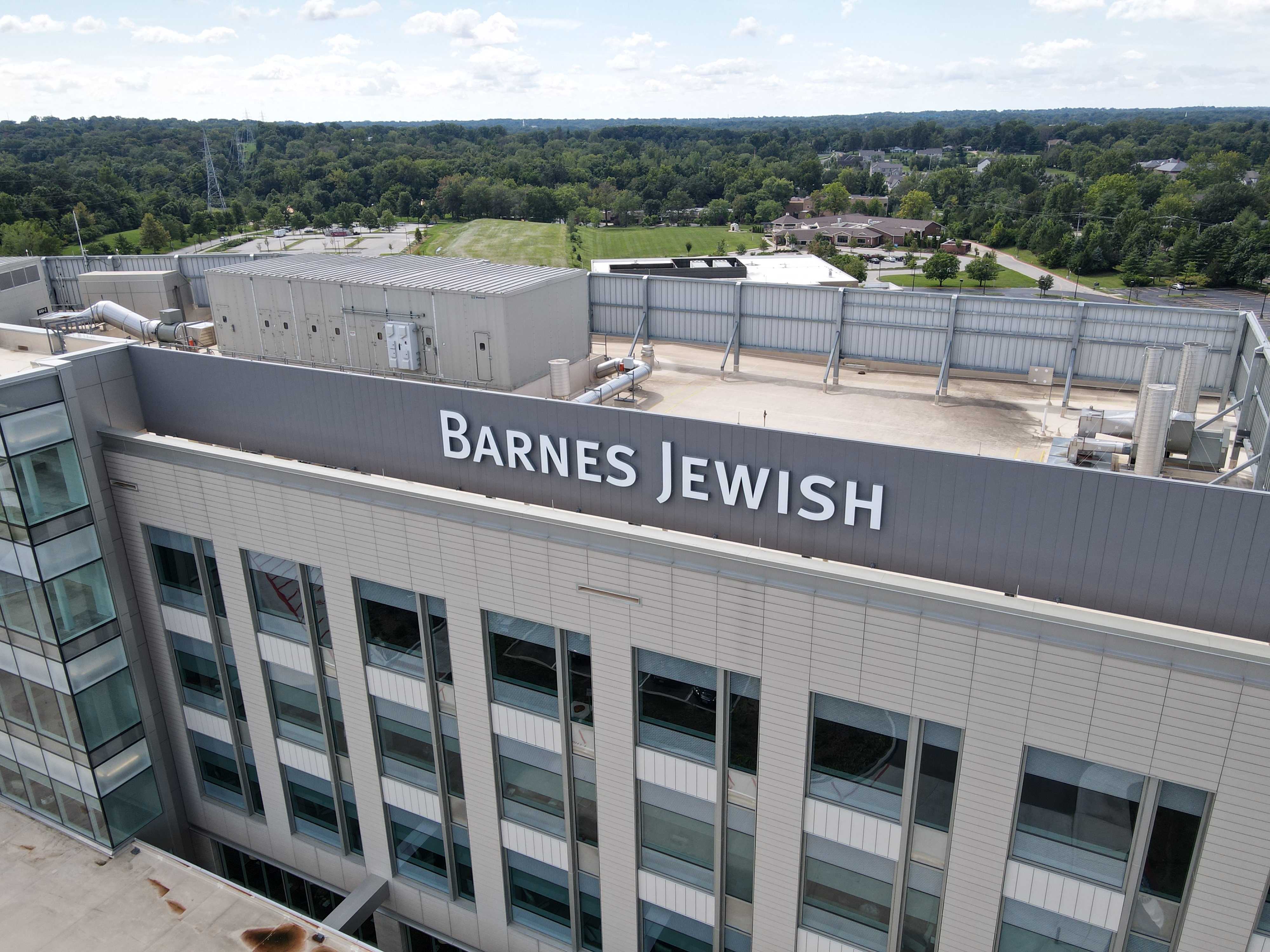
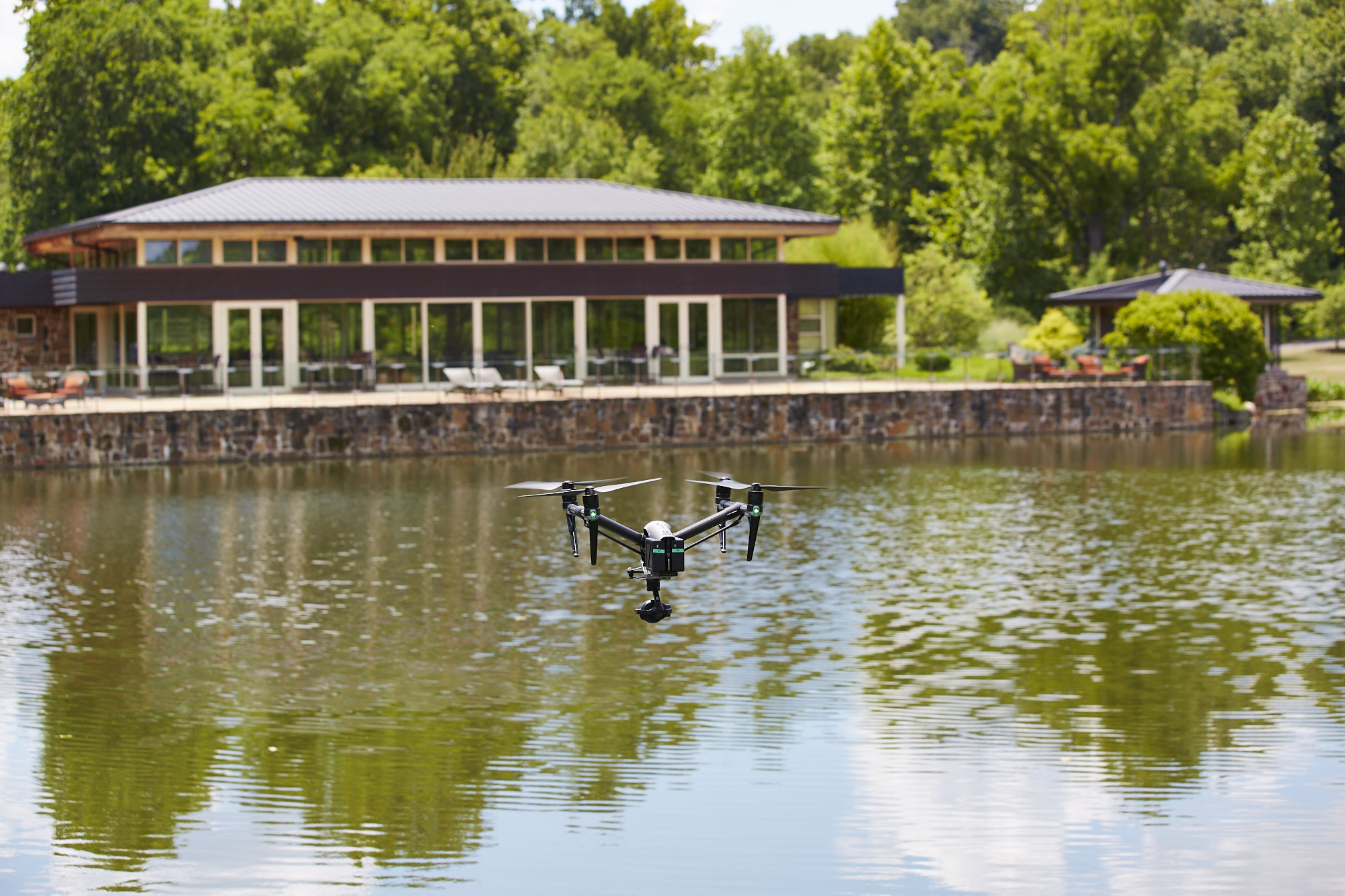
For many businesses and property managers, roof problems stay invisible until they become expensive. By the time a leak appears inside, moisture may already be trapped beneath the membrane, insulation may be compromised, and the repair scope may be far larger than expected. That is one reason infrared drone inspections have become such a practical tool for commercial roof evaluation. Thermal imaging can reveal temperature differences associated with trapped moisture, missing insulation, heat loss, and other anomalies that are difficult to identify with standard photography alone. FAA guidance also reflects how broadly drones are now used for infrastructure inspection, while commercial operators must still follow Part 107 and Remote ID requirements.
At St Louis Drone Services, we see infrared drone work not as a gadget-driven trend, but as a disciplined imaging method. When used correctly, a thermal drone can help decision makers identify roofing trouble earlier, prioritize repairs more intelligently, reduce unnecessary tear-offs, and document conditions with both visual and thermal evidence. The key is understanding what infrared can detect, what it cannot confirm on its own, and how to use the data in a way that supports real maintenance and capital planning decisions.
Why Roof Defects Are So Easy to Miss
Most roof defects do not begin as obvious holes. They often start as subtle failures: a seam beginning to separate, moisture entering around flashing, insulation becoming saturated, drainage patterns causing persistent ponding, or a patch area aging differently than the surrounding roof. In many commercial roofing systems, these issues are hidden beneath the membrane or occur in areas that are difficult to inspect safely and consistently.
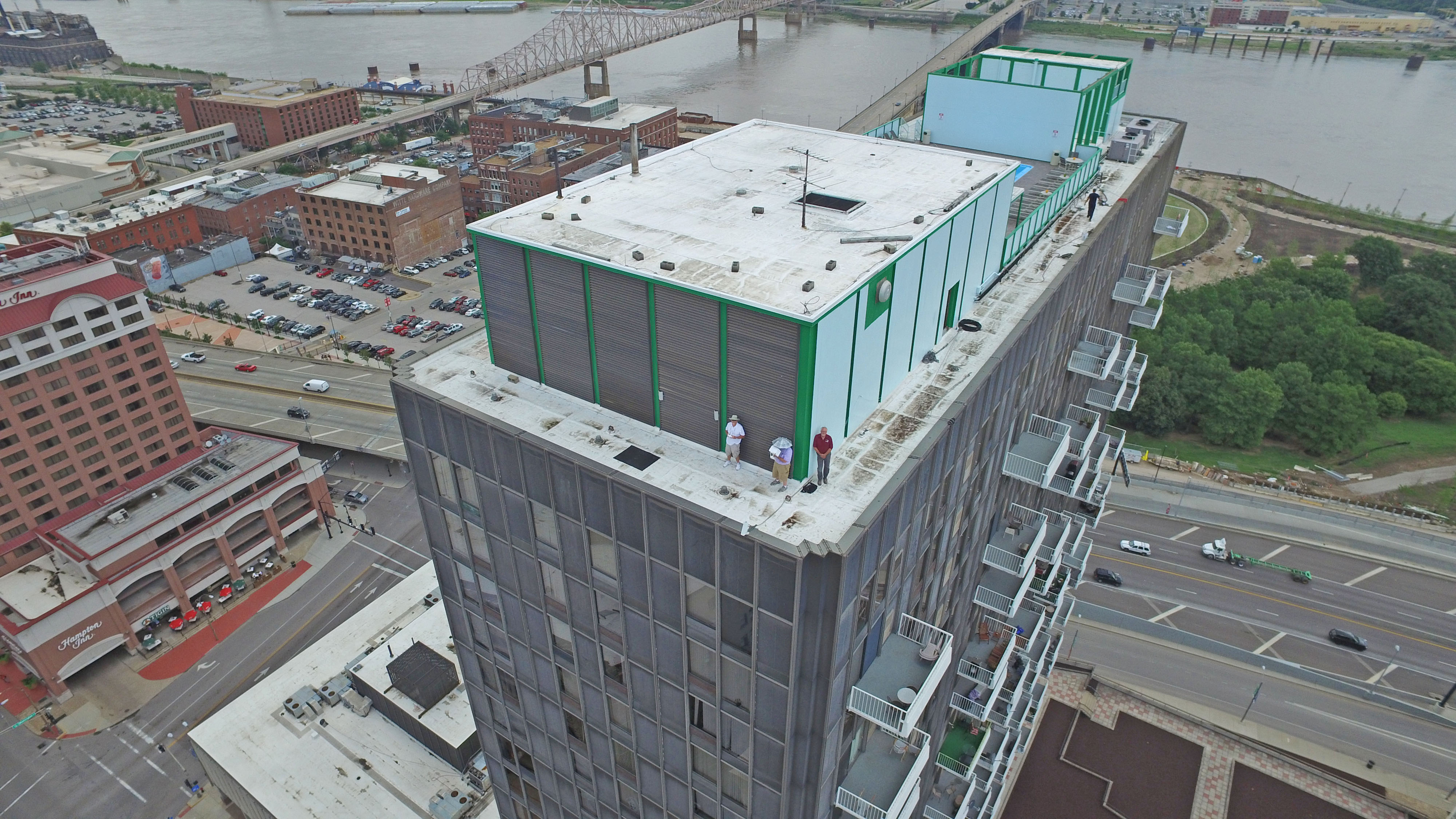
Traditional roof walks still matter, but they have limitations. A manual inspection can be slower, riskier, and less comprehensive on large or complicated roofs. A drone changes that by providing a top-down view of the full surface, and an infrared payload adds another layer by helping inspectors see temperature patterns that may indicate concealed problems. Industry guidance from FLIR and building-envelope sources notes that thermal imaging is especially useful for locating hidden moisture, missing insulation, air leakage, and other building-performance anomalies when conditions are appropriate.
What an Infrared Drone Actually Sees
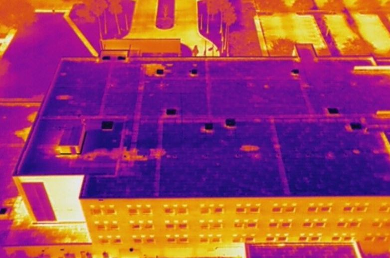
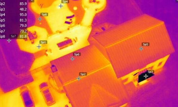
An infrared drone does not literally “see water” or “see damage.” It detects differences in surface temperature. That distinction matters.
When moisture gets trapped in roofing materials or insulation, those materials often heat and cool at different rates than dry areas. Under the right conditions, that difference creates a thermal pattern that can be captured by a radiometric thermal camera. In practical terms, wet areas may retain heat differently than dry areas, allowing an experienced operator to identify suspect zones for closer review. FLIR’s roofing guidance specifically notes that thermal imaging is an effective and reliable way to find hidden moisture because dry and moist areas respond differently thermally.
The same principle applies to other roof-related issues. Infrared can help reveal:
- trapped moisture beneath roof membranes
- saturated insulation
- missing or uneven insulation
- thermal bridging
- air leakage at transitions or penetrations
- areas around rooftop equipment that are behaving abnormally
- patch zones or repair areas with different thermal signatures
That does not mean every hot spot or cool spot is a defect. Thermal anomalies are indicators, not final diagnoses. Skilled interpretation is what turns raw thermal imagery into useful inspection intelligence.
Where Infrared Drone Roof Inspections Deliver the Most Value
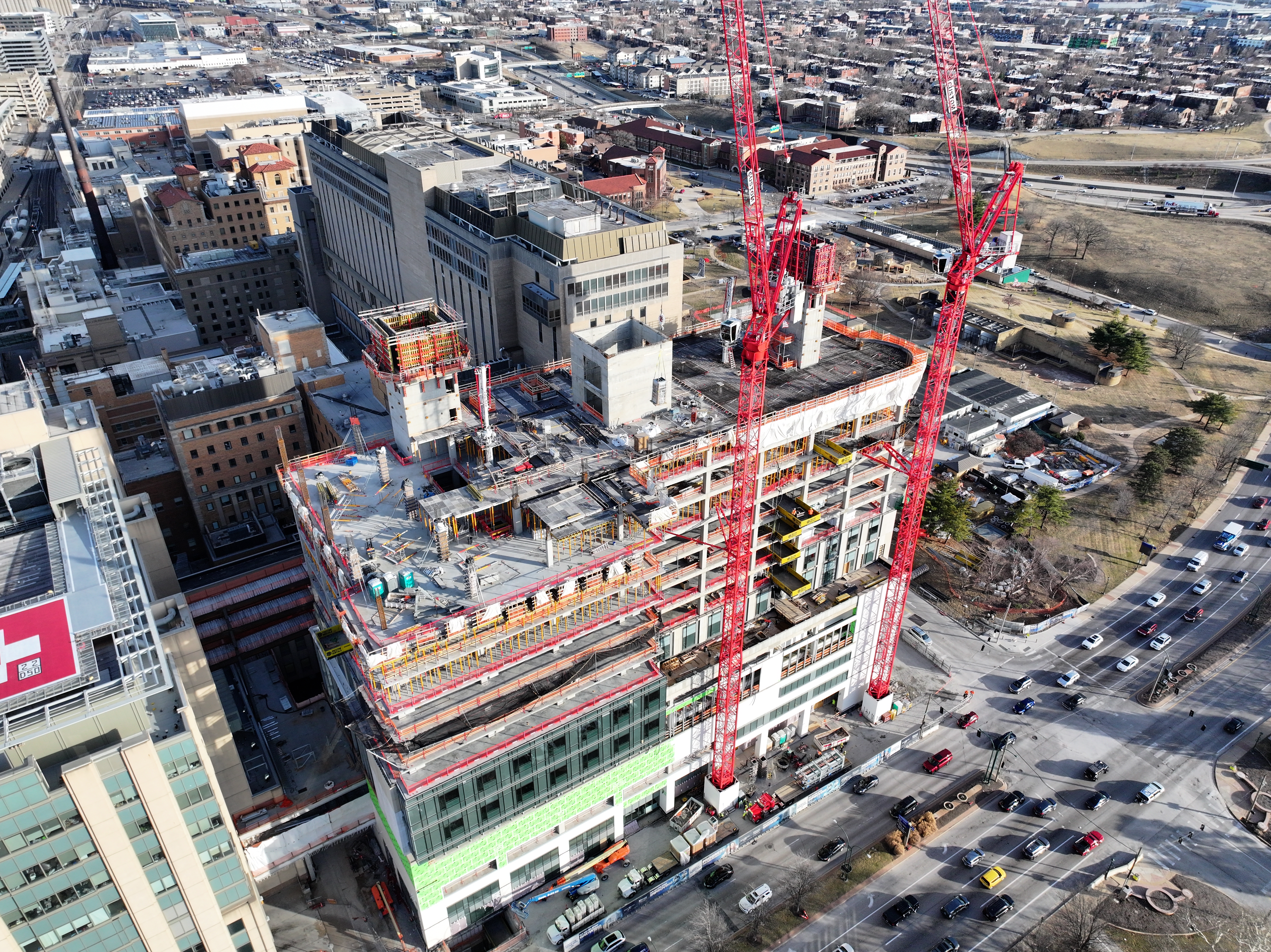
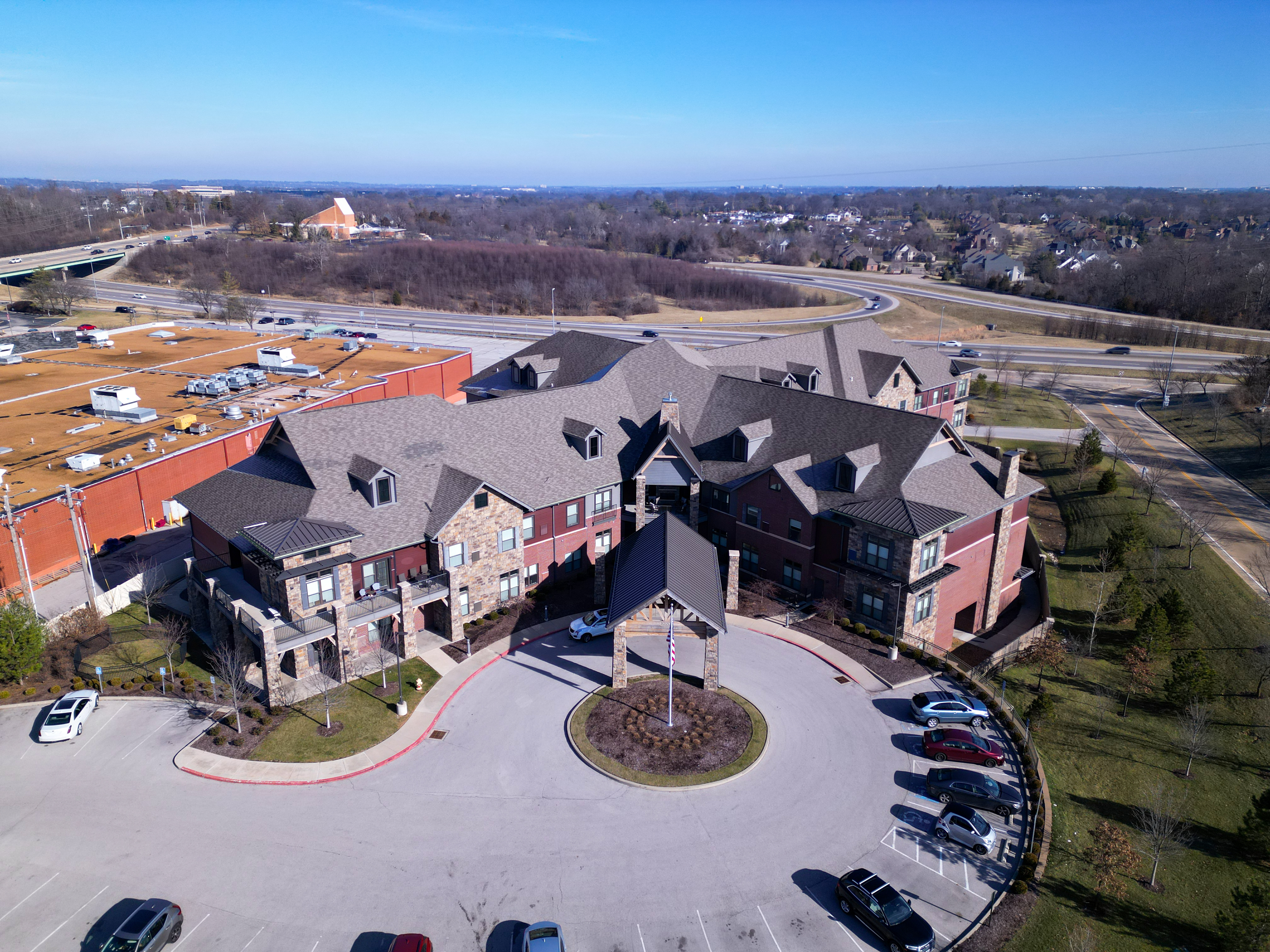
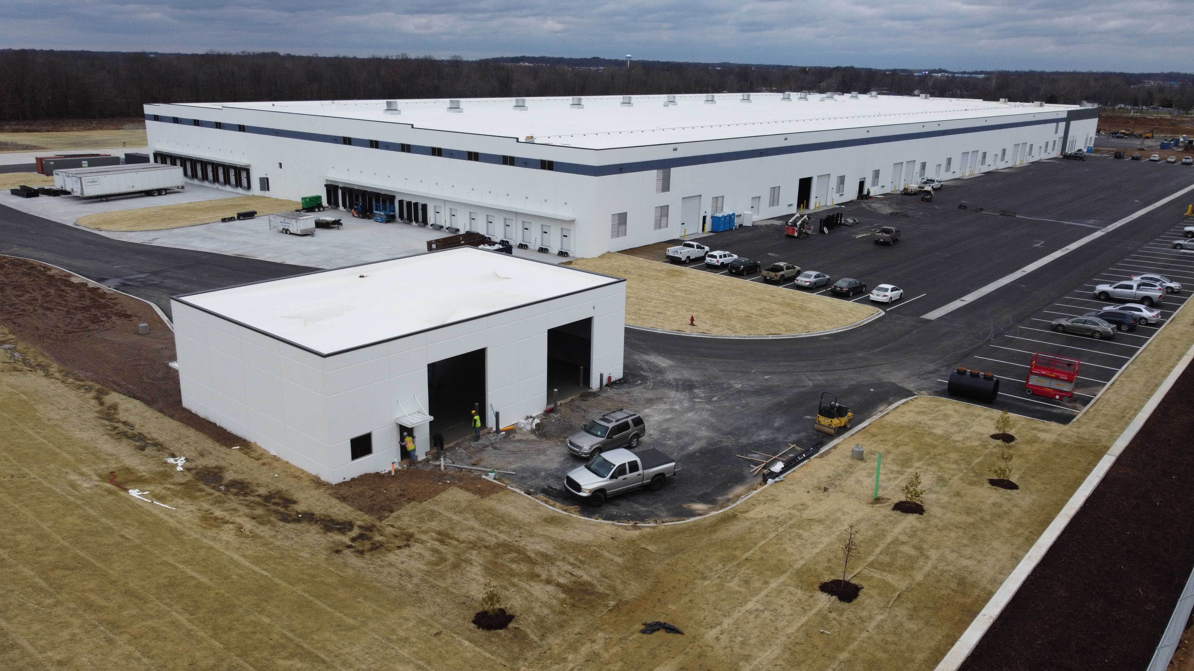
Infrared drone inspections are especially valuable on low-slope and commercial roofs where concealed moisture is a major concern. Large facilities, warehouses, manufacturing plants, schools, office buildings, hospitals, logistics buildings, and retail centers often have roof areas too broad or too complex to evaluate efficiently from the ground or through spot checks alone.
For organizations managing multiple facilities, thermal drone surveys can also improve consistency. Instead of relying on fragmented observations from separate site visits, a business can capture comparable aerial datasets across buildings and over time. That gives facilities teams, consultants, insurers, and contractors a stronger basis for prioritizing maintenance budgets.
The value is not only in finding active trouble. It is also in documenting roof condition before replacement decisions, validating whether isolated repairs may be sufficient, and building a visual record that supports asset management. When thermal and visible imagery are paired, stakeholders can review a roof in context rather than relying only on written notes.
Why Timing and Conditions Matter
One of the biggest misconceptions in thermal roof imaging is that you can fly anytime and get equally useful results. You cannot.
Thermal roof surveys depend heavily on environmental conditions. Successful inspections require the right relationship among solar loading, ambient temperature, roof material type, wind, recent weather, and the timing of image capture. Training materials and manufacturer guidance emphasize that roof moisture surveys work best only when inspection conditions are favorable and the operator understands how roof systems absorb and release heat.
That matters because false positives are possible. Reflections, shadows, HVAC influence, surface staining, ballast variation, recent rainfall, and material transitions can all create thermal patterns that look important but are not necessarily defects. Likewise, a roof may have a genuine problem that does not present clearly if the inspection is conducted at the wrong time.
In other words, the drone is only part of the equation. The inspection plan matters just as much as the aircraft and sensor.
Infrared Is Powerful, but It Is Not Magic
Decision makers should treat infrared drone work as a screening and diagnostic support tool, not a standalone replacement for every other evaluation method.
A professional thermal survey can identify suspect areas with impressive speed and coverage, but confirmation may still require additional review. Depending on the objective, that may include moisture meter testing, invasive verification, roofer assessment, building-envelope consultation, or comparison with historical leak reports. The best thermal drone workflows help narrow the search area, improve documentation, and reduce guesswork. They do not eliminate the need for sound inspection judgment.
This is one reason experienced operators deliver more value than pilots who simply own a thermal drone. Capturing a thermal image is easy. Capturing interpretable data, aligning it with visible imagery, understanding roof behavior, and presenting it in a way a client can act on is where the real expertise shows.
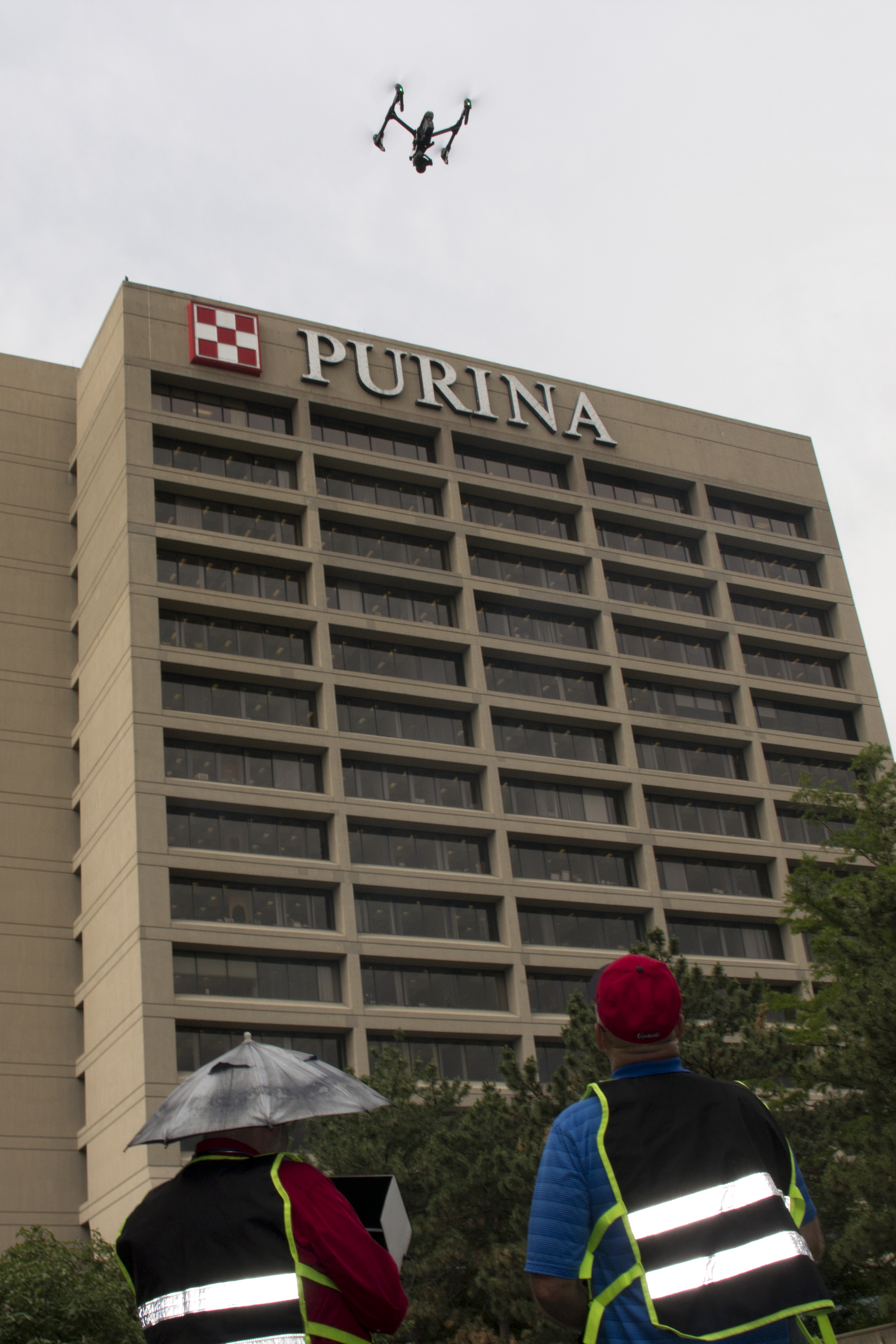
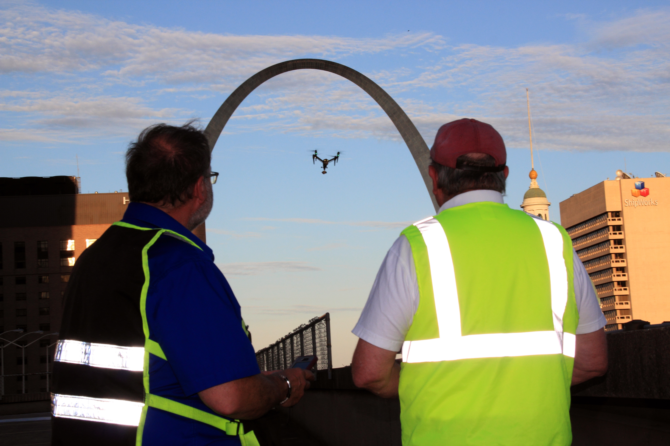
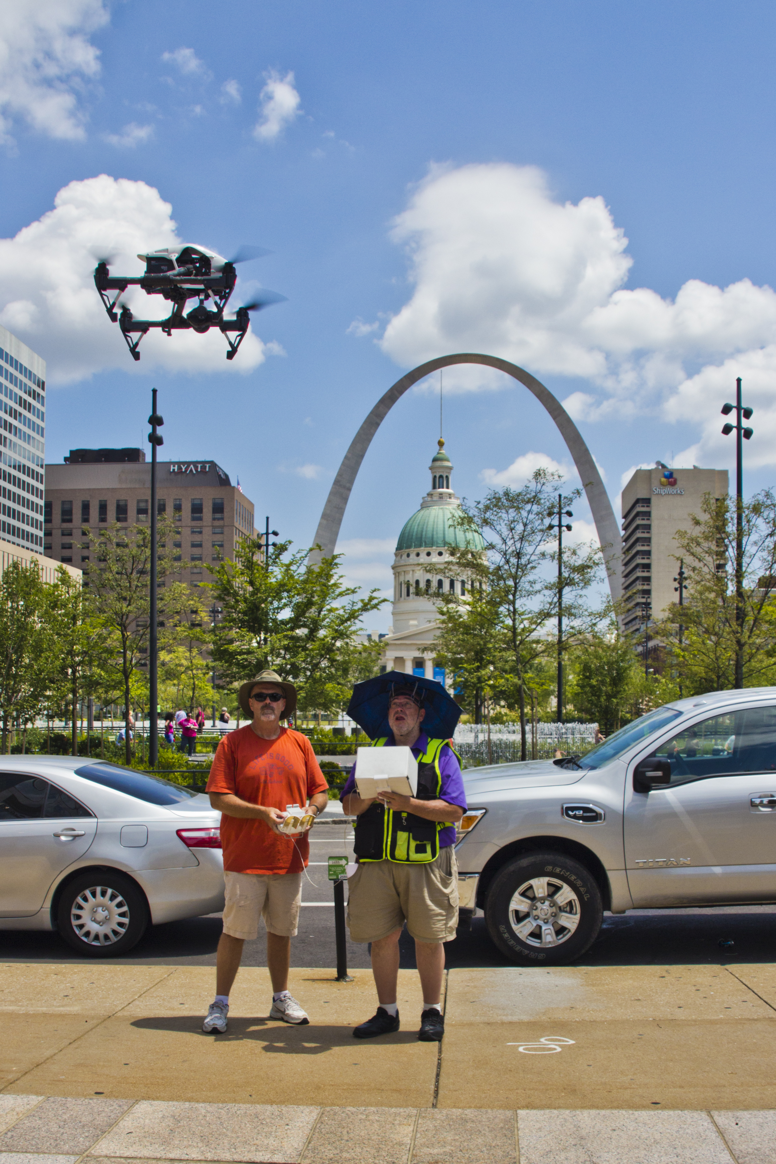
Safety, Access, and Efficiency Advantages
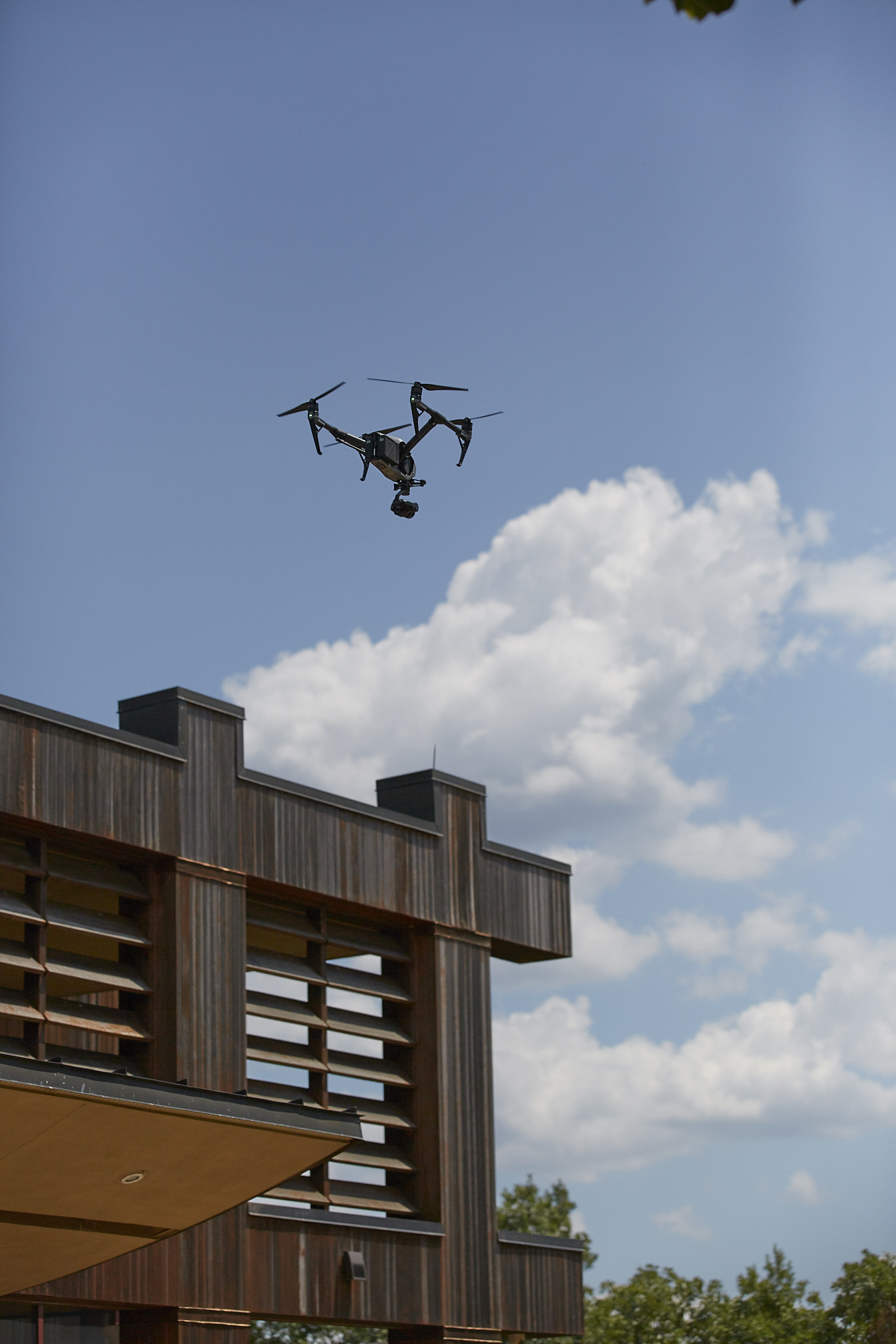
One of the clearest advantages of drone roof inspection is reducing the need for repeated physical access to elevated surfaces. FAA materials highlight drones as valuable tools for infrastructure inspection, and the general benefit is obvious: better access to hard-to-reach areas with less exposure to ladder, edge, and rooftop hazards. Commercial operations must still be conducted legally and safely under FAA rules, including Part 107 and applicable Remote ID requirements.
From a business standpoint, that translates into several operational advantages:
A drone can inspect broad roof areas more quickly than many manual methods. It can capture comprehensive overhead imagery that is difficult to match from the ground. It can help teams evaluate roofs with limited disruption to occupants or operations. It also creates a digital record that can be reviewed later by facilities managers, consultants, insurers, or ownership groups.
For multi-building organizations, that efficiency compounds. Aerial thermal inspections can become part of a repeatable maintenance program rather than a one-off reaction to a leak complaint.
Better Data for Better Decisions
The real benefit of infrared drone imaging is not just defect detection. It is decision support.
When a facilities director, asset manager, property owner, or marketing leader commissions a roof inspection, the goal is usually not “get thermal pictures.” The goal is to answer business questions:
Is there likely hidden moisture?
How widespread is the problem?
Are the suspect areas isolated or systemic?
Should we patch, repair, monitor, or budget for larger replacement work?
How do we document conditions for internal reporting or outside stakeholders?
Thermal drone imaging helps answer those questions more clearly when the data is captured and presented correctly. A strong deliverable often includes visible aerial overviews, close-up visual images, thermal stills, mapped anomaly locations, and a concise explanation of what the findings may indicate. That combination is far more useful than either visible imagery or thermal imagery alone.
Why Visible and Thermal Imaging Work Best Together
Visible aerial photography shows the roof as it appears. Thermal imaging shows how it behaves.
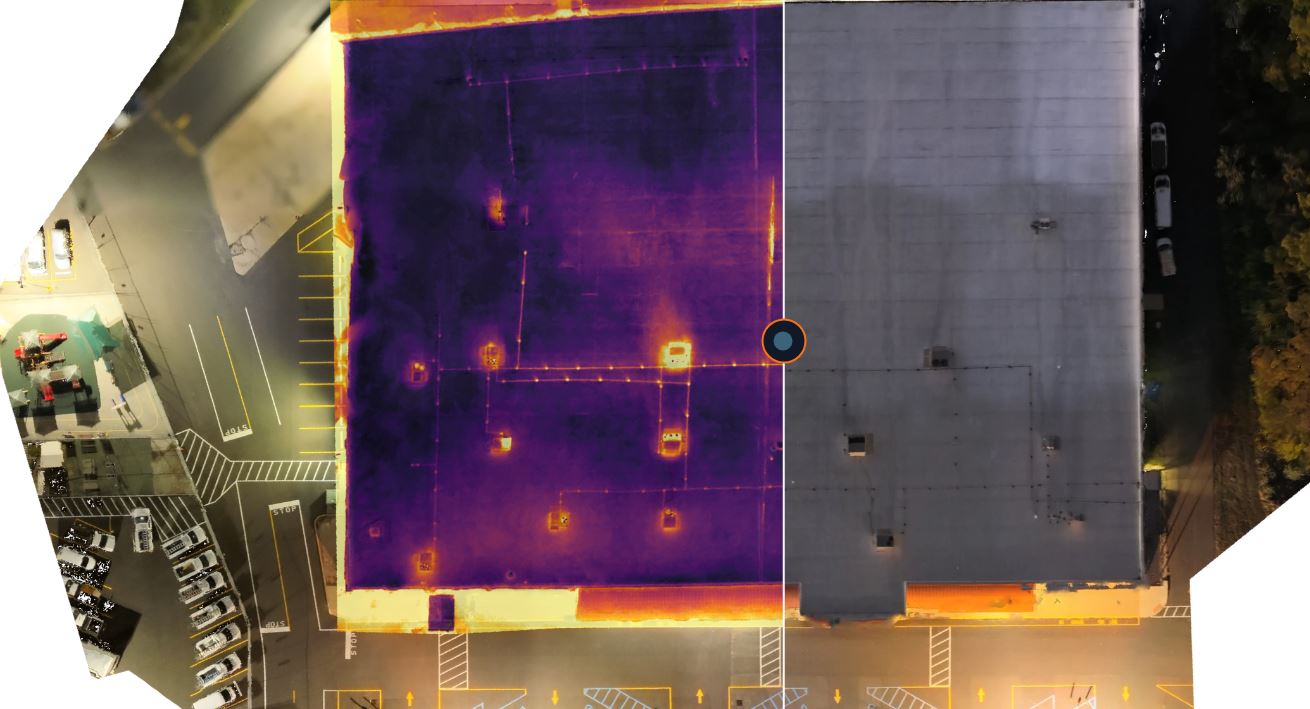
Used together, they are much more powerful. A visible image can identify punctures, debris, ponding, flashing conditions, membrane wear, and rooftop equipment layout. A thermal image can reveal where surface temperatures differ in ways that may suggest moisture intrusion, insulation loss, or thermal irregularities. When the two are aligned, clients can connect the anomaly to the physical context of the roof.
For this reason, the best roof inspections are not purely “thermal jobs.” They are integrated aerial documentation projects. They combine inspection discipline, visual storytelling, and organized deliverables that help clients move from observation to action.
Who Should Consider an Infrared Drone Roof Inspection
Infrared drone roof inspections are especially worth considering for:
Commercial property owners managing aging roofs
Facility managers responsible for maintenance planning
Industrial sites with broad low-slope roofing systems
Schools, healthcare campuses, and municipalities with multiple buildings
Construction and roofing firms that need pre-repair documentation
Insurance and risk stakeholders who need better visual support
Organizations that want safer, faster preliminary assessment before mobilizing larger repair efforts
For many of these groups, the question is not whether a drone can replace every inspection step. It is whether a thermal drone can improve the speed, safety, and quality of early-stage roof intelligence. In many cases, the answer is yes.
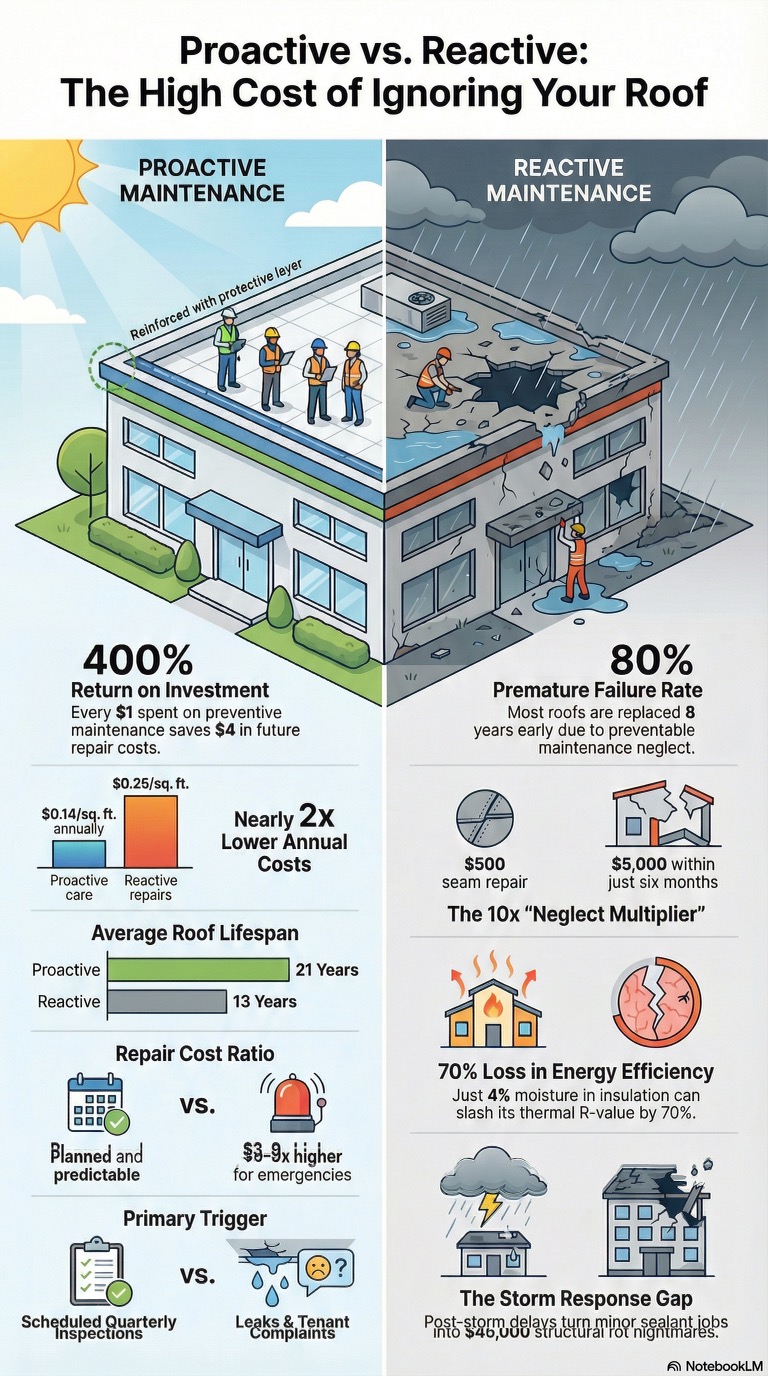
The Business Case for Early Detection
Roof problems are rarely cheaper after delay. Water intrusion spreads. Saturated insulation loses performance. Minor defects can become interior damage, mold concerns, operational disruption, and larger capital expenses.
That is why infrared drone surveys can create real business value even before a repair is made. Early identification helps organizations target maintenance dollars where they matter most. It can prevent broad assumptions, reduce blind replacement decisions, and support more informed conversations with contractors and consultants.
For businesses that care about documentation, the benefit is also strategic. Aerial thermal imagery provides an archive. When repeated over time, that archive becomes a baseline for monitoring changes and evaluating whether previous repairs are holding.
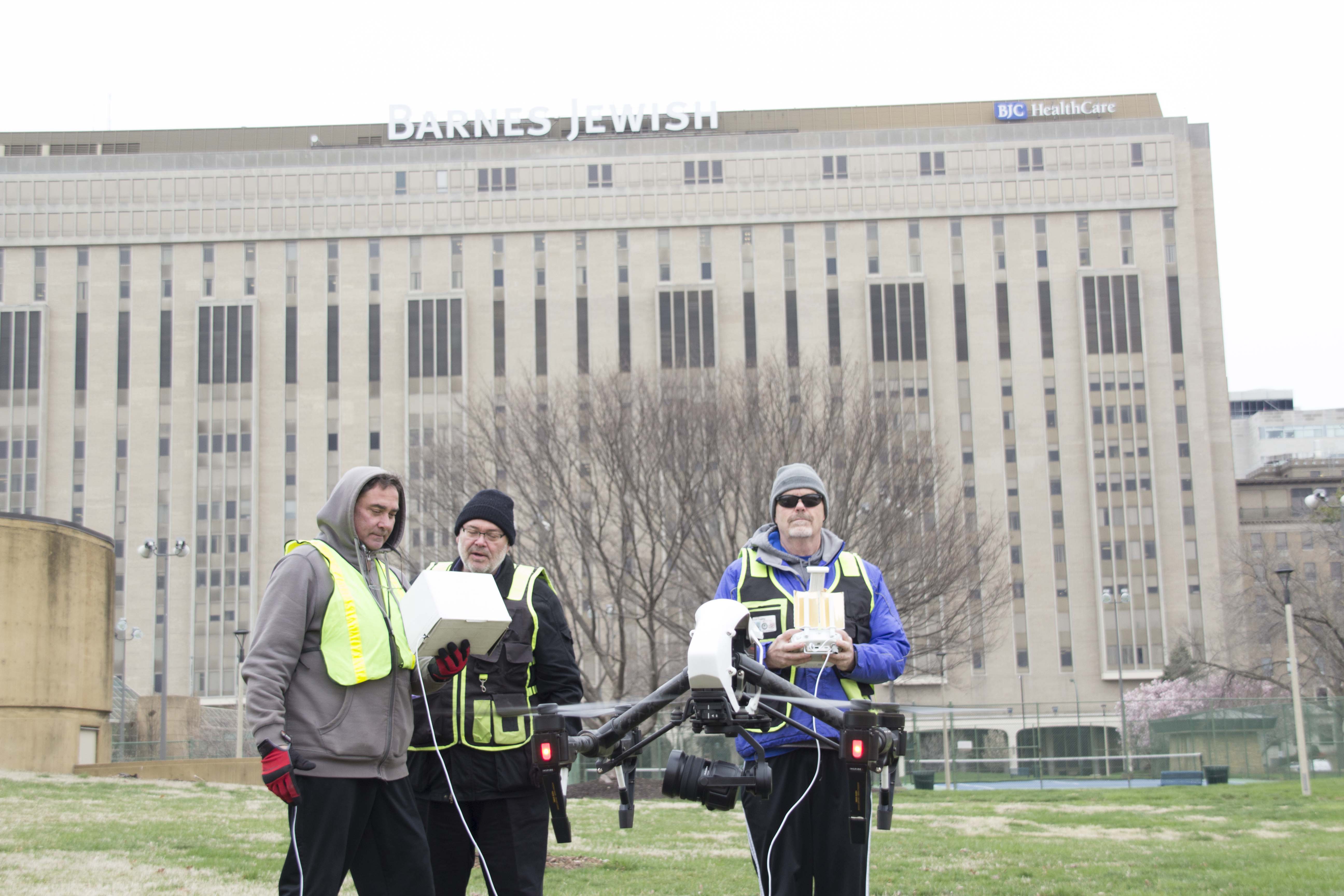
Experienced Execution Matters
Not every drone company is built for technical roof imaging. A successful infrared roof project requires more than an aircraft and a thermal sensor. It requires understanding of roof behavior, mission planning, flight safety, FAA compliance, imaging workflow, thermal interpretation, and final deliverables.
At St Louis Drone Services, we approach these projects as imaging professionals first and drone operators second. That matters because our clients do not just need flights. They need usable information, captured responsibly and delivered in a way that supports business decisions.
As an experienced full-service professional commercial photography and video production company, St Louis Drone Services has the right equipment, experienced creative crew, and production knowledge for successful image acquisition. We offer full-service studio and location video and photography, editing, and post-production, along with licensed drone services tailored to diverse media and inspection requirements. We are highly experienced in repurposing photography and video branding to gain more traction, and we are well-versed in file types, media formats, workflows, and the software needed to support them. We use the latest in Artificial Intelligence across our media services, and our private studio lighting and visual setup is ideal for small productions and interview scenes, with enough space to incorporate props and build out custom sets. We support every aspect of production, from private interview studio setups to professional sound and camera operators and the right equipment for a seamless result. We can also fly specialized drones indoors. Since 1982, St Louis Drone Services has worked with businesses, marketing firms, and creative agencies throughout the St. Louis area, bringing deep experience to both marketing media production and specialized aerial imaging projects.