Professional aerial photography offers businesses a unique opportunity to communicate physical scale, geographic relationships, and architectural design.
Ground-level photography remains essential for documenting people, products, and details. However, elevated aerial perspectives can show how individual elements relate to the larger environment.
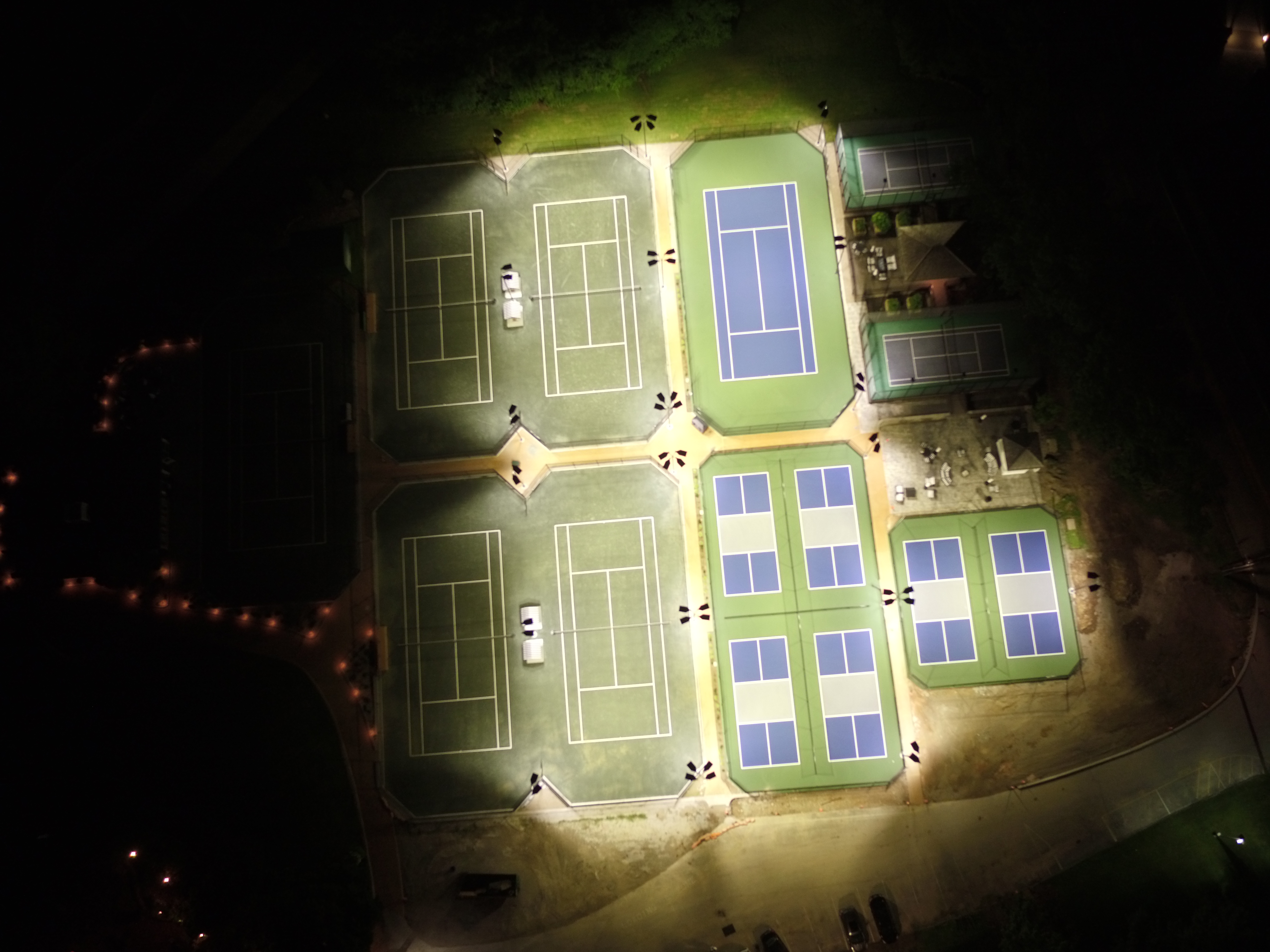
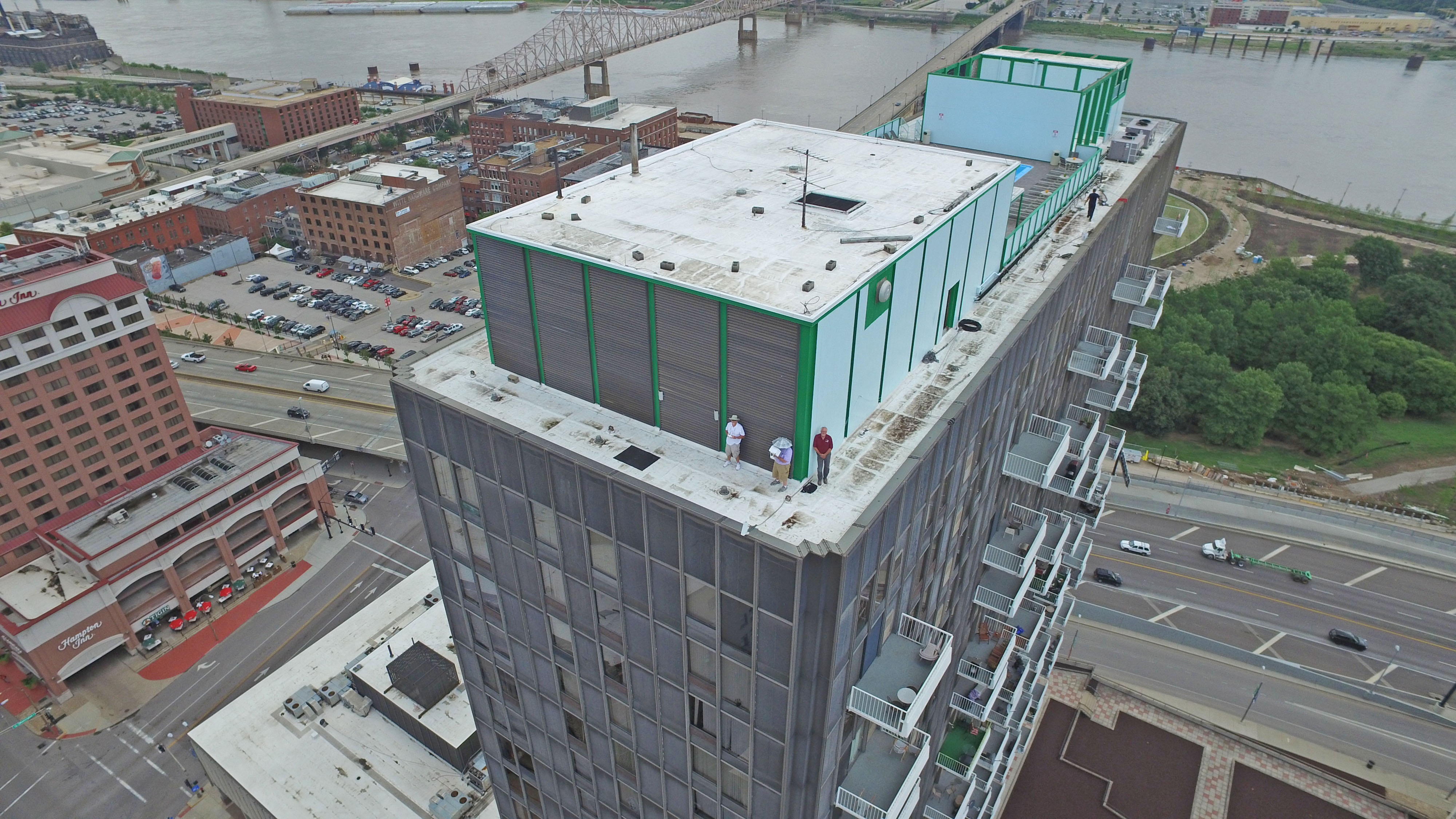
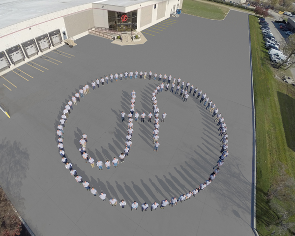
For example, an aerial photograph of a manufacturing campus can reveal the relationship between production buildings, loading areas, parking, transportation access, and surrounding property.
For commercial real estate, aerial imagery can communicate site layout and proximity to nearby infrastructure more effectively than a collection of ground-level photographs.
Business Applications for Aerial Photography
Professional commercial drone photography supports numerous industries and communication objectives, including:
- Commercial real estate advertising and property listings
- Manufacturing and industrial facility photography
- Corporate headquarters and campus documentation
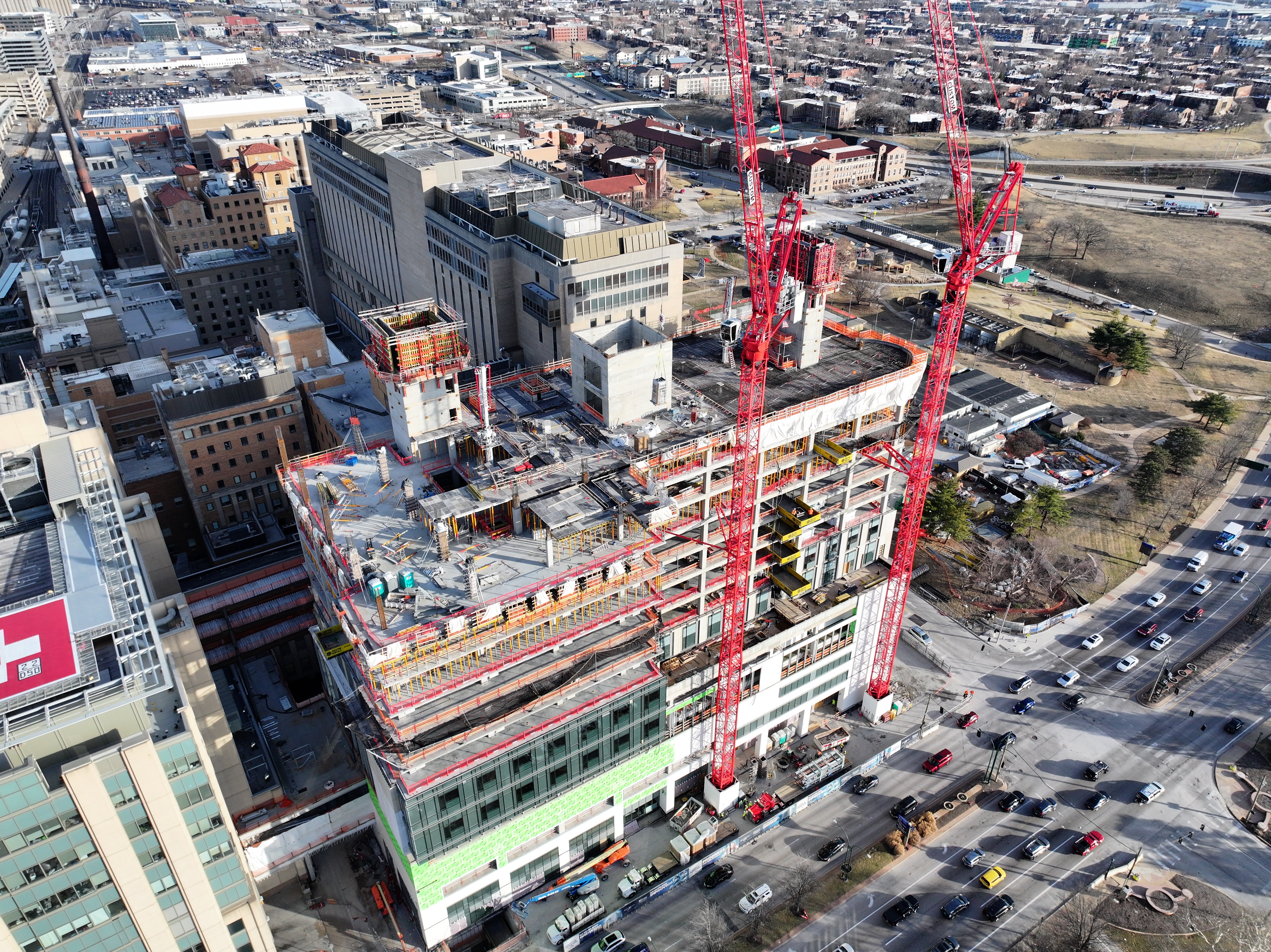
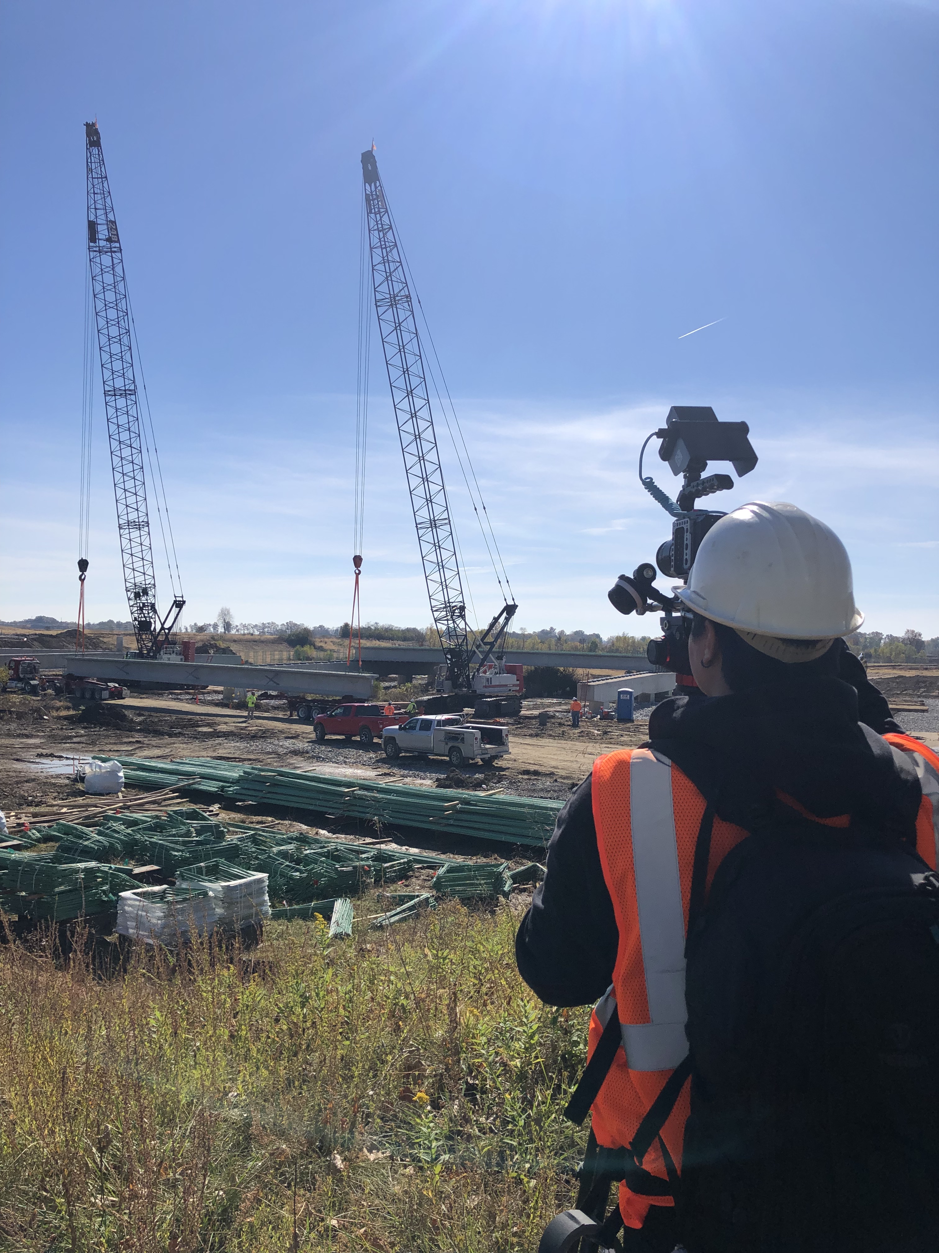
- Commercial construction and land development
- Architectural photography and building presentations
- Hotels, resorts, recreational facilities, and event venues
- Healthcare campuses and educational institutions
- Municipal properties and infrastructure
- Industrial equipment and storage facilities
- Advertising, marketing, and corporate branding
The value of professional aerial photography comes from selecting camera positions that communicate useful information while presenting the subject attractively.
An experienced drone photographer understands composition, lighting, perspective, camera exposure, weather conditions, and the importance of producing images that complement the client’s marketing objectives.
Drone Cinematography Creates More Compelling Corporate Video
Commercial drone video introduces movement and visual storytelling that conventional static photography cannot provide.
Professional aerial cinematography may include establishing views, building approaches, lateral tracking movements, elevated reveals, and carefully planned transitions.
When integrated into a larger corporate presentation, these shots help establish location, scale, and visual context.
Aerial Footage Should Support the Story
Consider a company producing a video about its manufacturing capabilities.
Aerial footage can introduce the facility and communicate the physical scope of its operations.
Ground-level cameras can then show equipment, employees, manufacturing processes, and technical details.
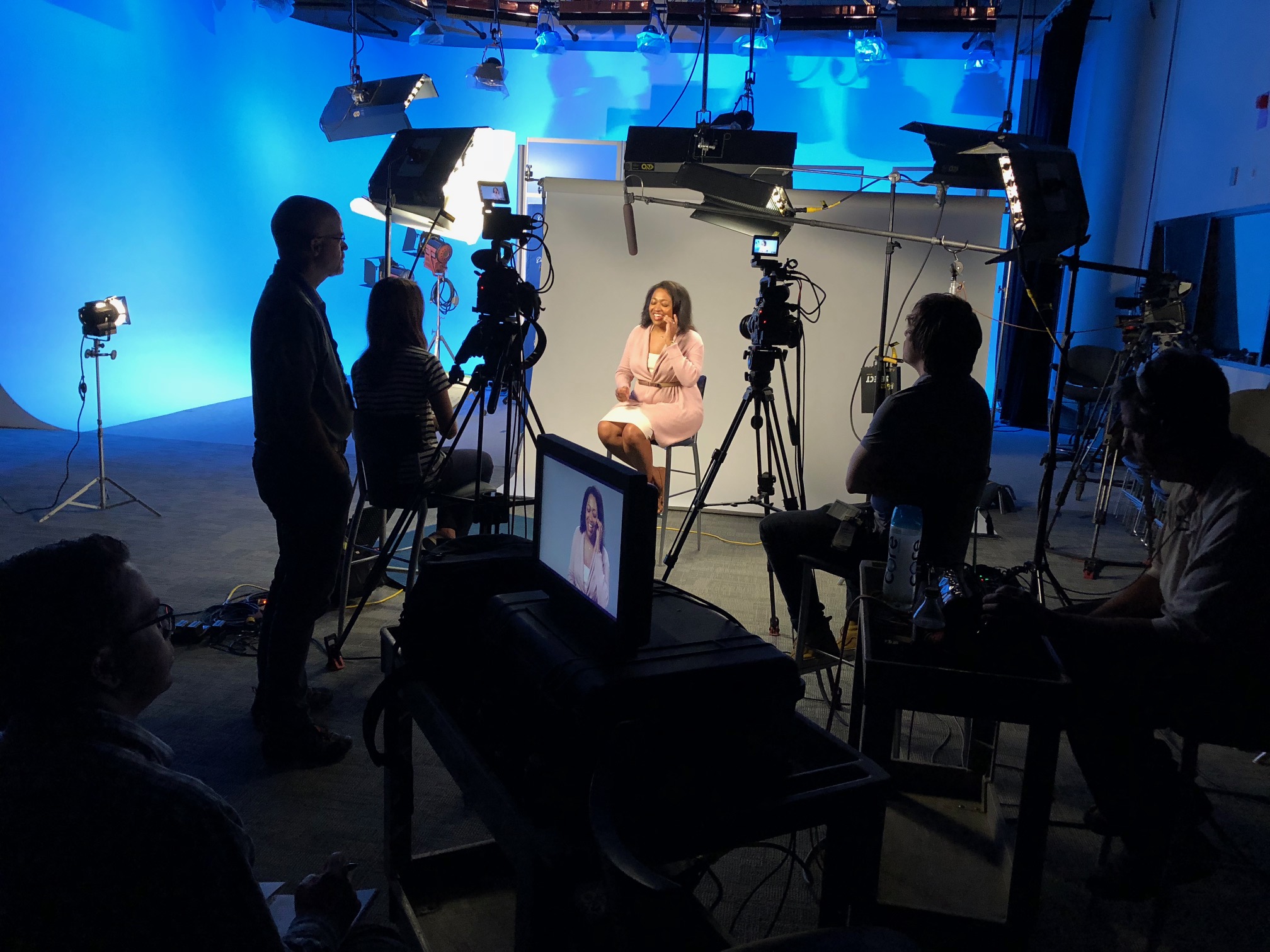
Executive interviews provide the explanation and business message.
Combining these elements creates a more complete presentation than relying on aerial footage alone.
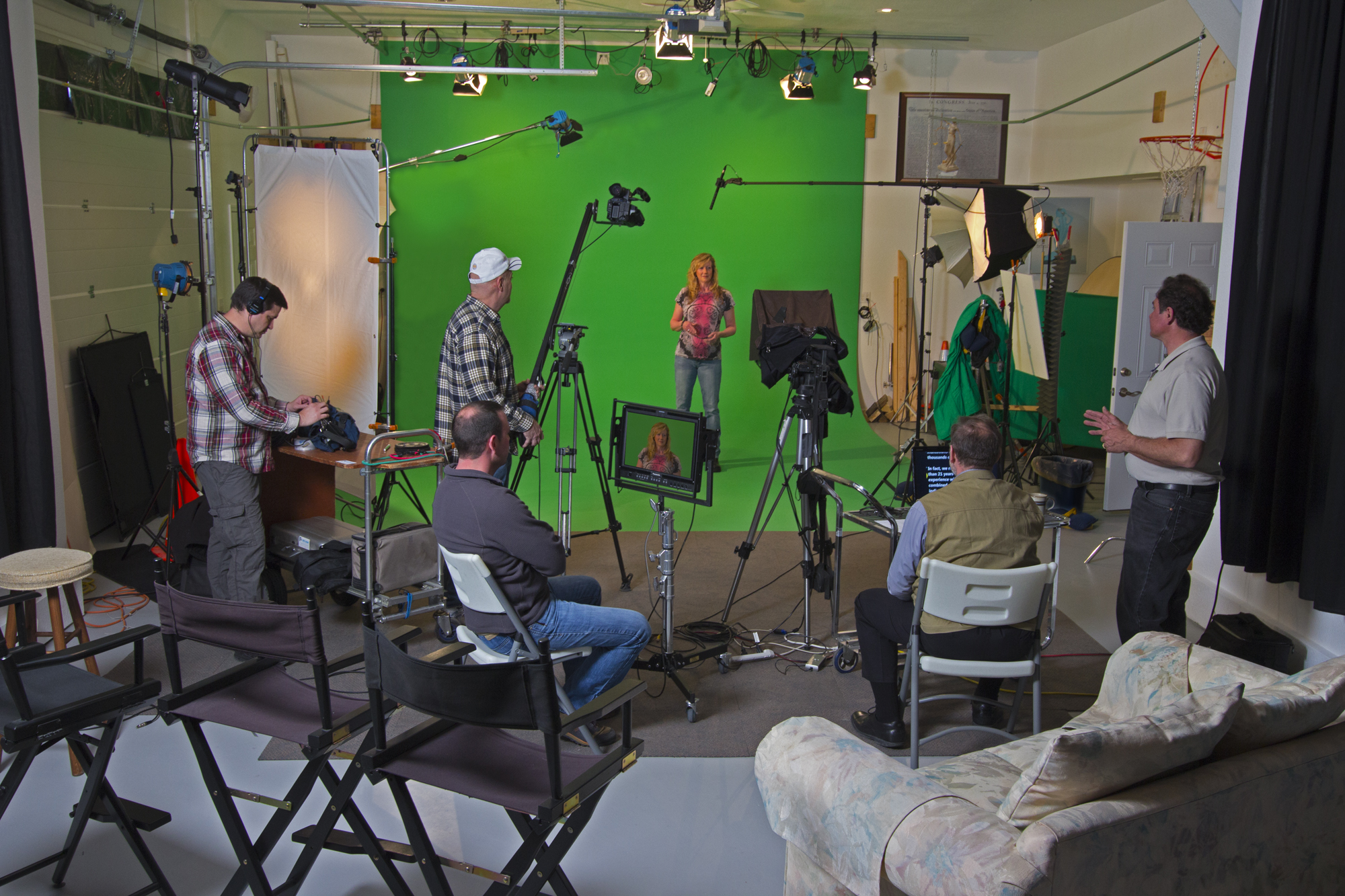
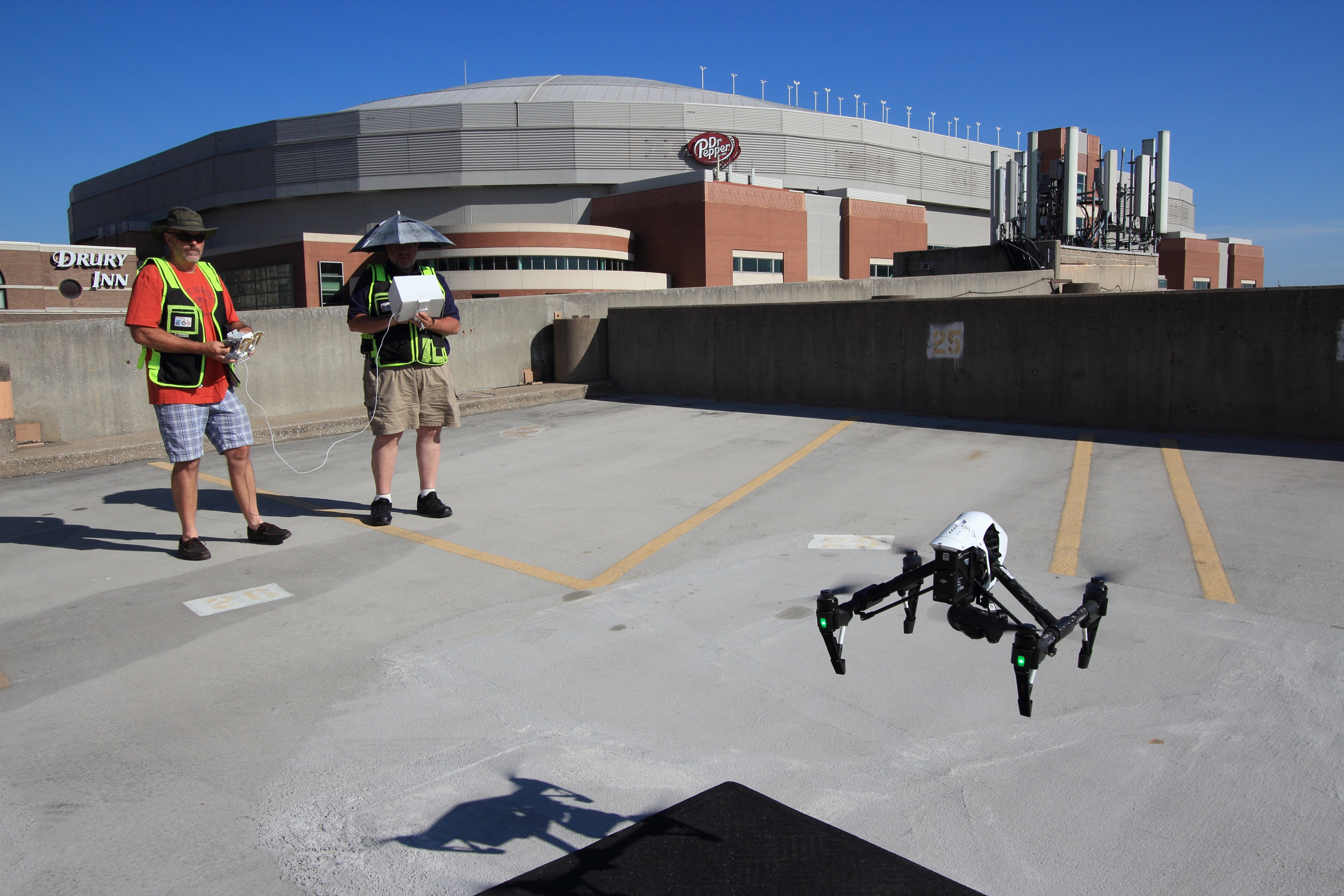
Professional drone operators understand how to coordinate their recordings with ground-level video crews so that camera movement, exposure, color, and composition support the overall production.
Why Experienced Pilots Make a Difference
Smooth flight alone does not guarantee effective aerial cinematography.
Experienced commercial drone pilots must understand camera movement, lens characteristics, image composition, lighting conditions, subject positioning, and flight limitations.
They must also consider whether a shot can be executed safely and legally.
A carefully planned aerial sequence often provides better results than attempting complicated movements without considering the editing process.
Indoor FPV Drone Services: Dynamic Video Inside Commercial Facilities
Specialized First Person View drone technology has expanded the creative possibilities of commercial video production.
FPV drones allow experienced operators to fly compact aircraft through appropriate indoor environments, capturing dynamic perspectives that may be difficult to achieve with conventional camera equipment.
Unlike traditional stabilized drone movements, FPV footage can create immersive visual sequences that move through interconnected spaces.
Applications for Indoor FPV Video
Indoor FPV filming can be particularly effective for:
- Manufacturing plant tours
- Warehouses and distribution centers
- Commercial real estate presentations
- Corporate offices and headquarters
- Retail facilities and showrooms
- Entertainment and event venues
- Industrial equipment demonstrations
- Employee recruitment and company branding
For example, an FPV drone may move through a large commercial facility, revealing production areas, equipment, and architectural features as part of a coordinated video presentation.
These sequences can help potential customers, investors, and prospective employees better understand the environment.
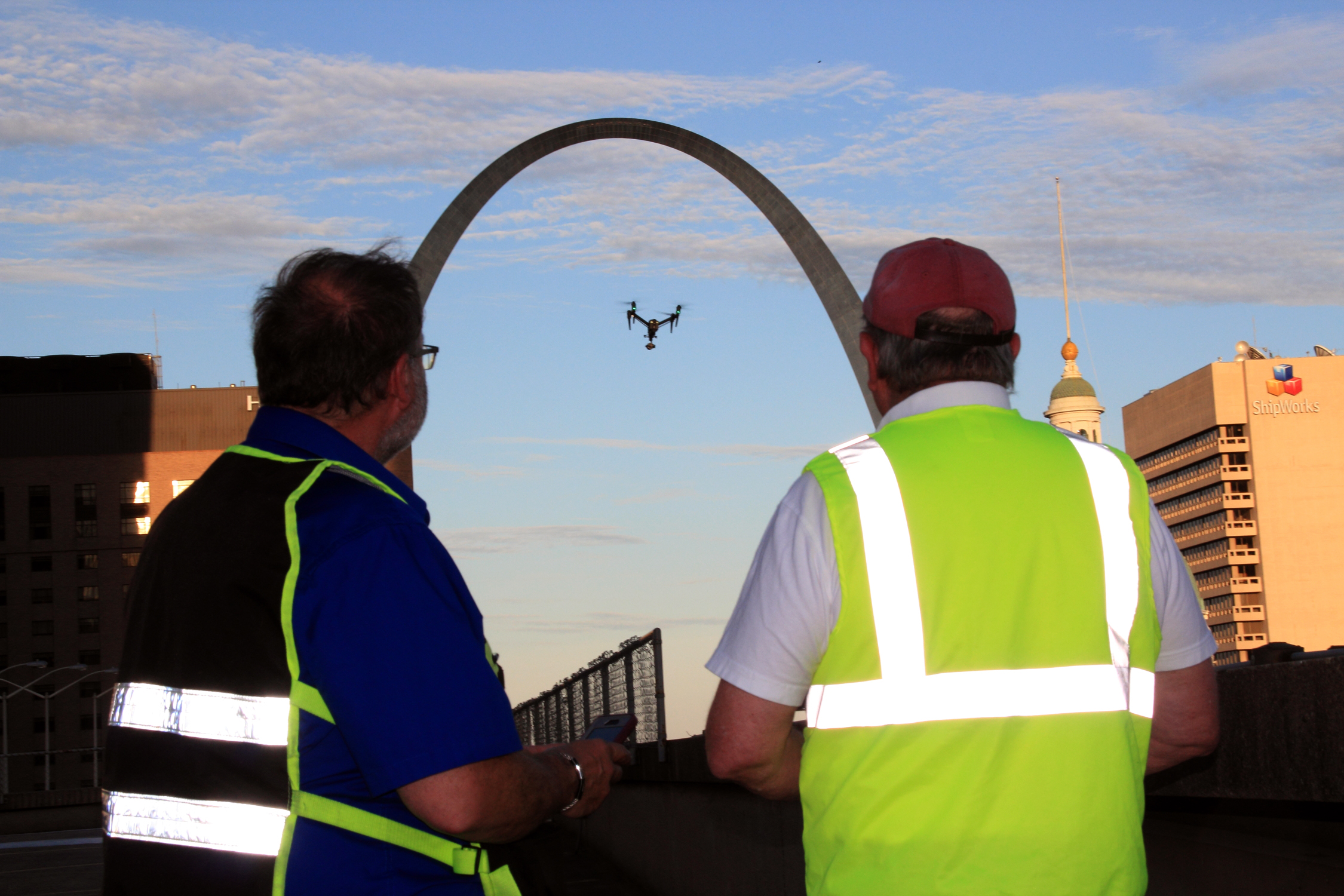
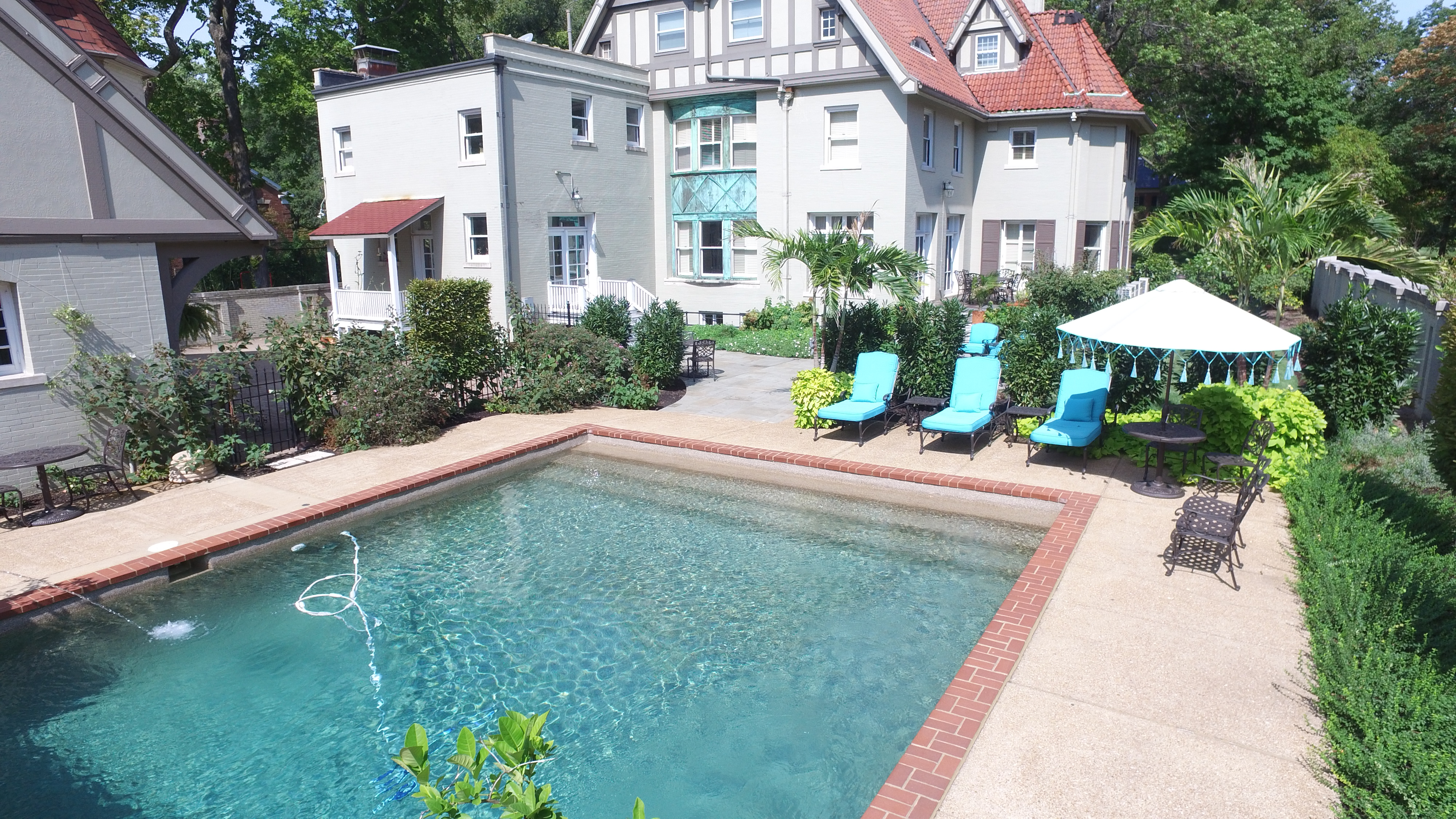
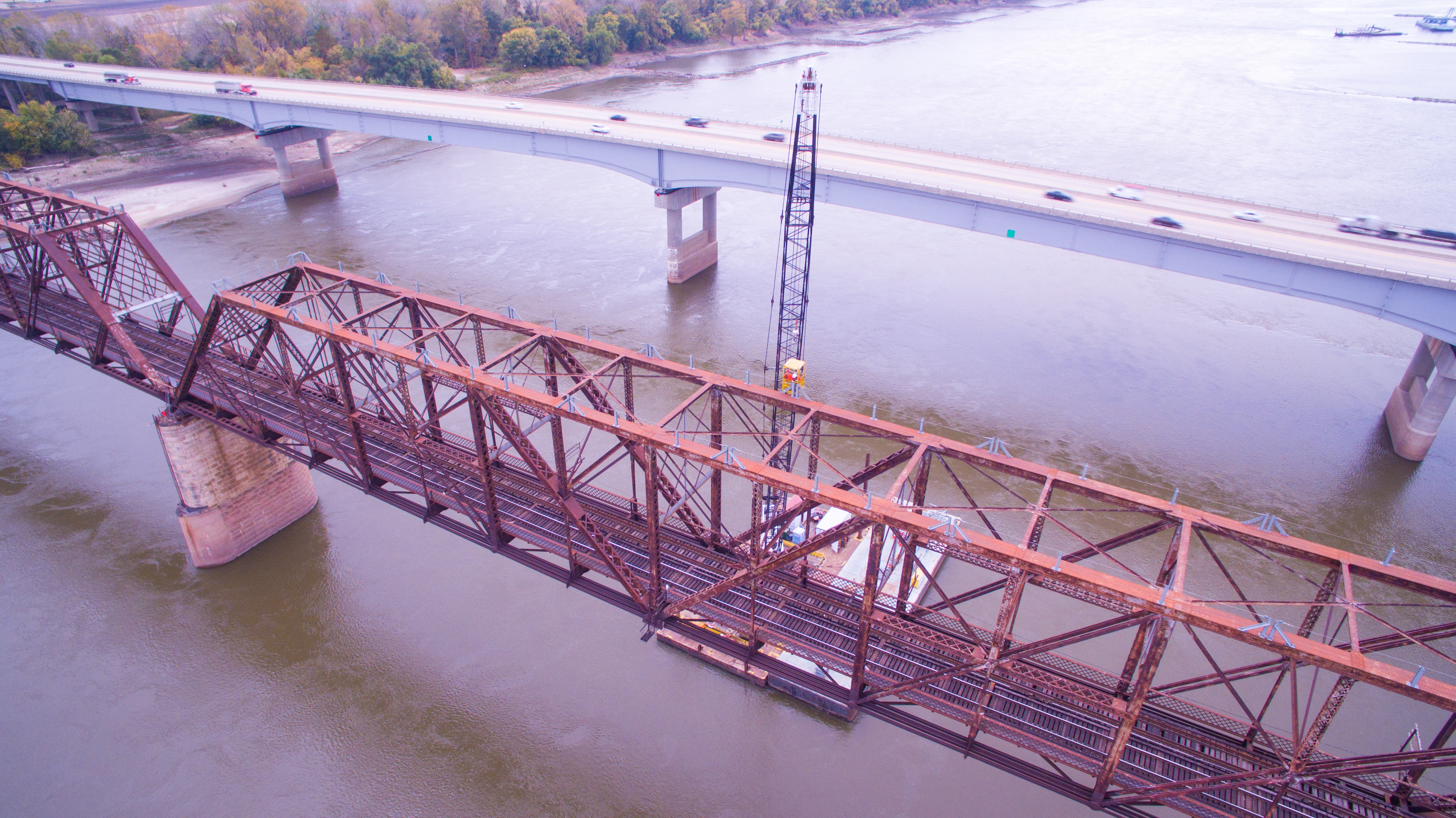
Indoor Drone Safety and Production Planning
Indoor FPV operations require specialized training, careful planning, and appropriate aircraft selection.
Professional operators must evaluate obstacles, flight paths, ceiling heights, personnel activity, sensitive equipment, and potential emergency landing areas.
Protective propeller guards, controlled filming areas, and coordination with facility management may be appropriate depending on the environment.
The ability to fly indoors does not eliminate the need for rigorous operational safety.
Infrared Thermal Drone Inspections for Commercial Properties
One of the most valuable specialized drone services is infrared thermal imaging.
Infrared cameras detect emitted thermal radiation and create images representing differences in apparent surface temperature.
These images can help identify conditions requiring additional investigation.
Commercial thermal drone imaging is particularly relevant to facility management, roofing contractors, property owners, and building maintenance professionals.

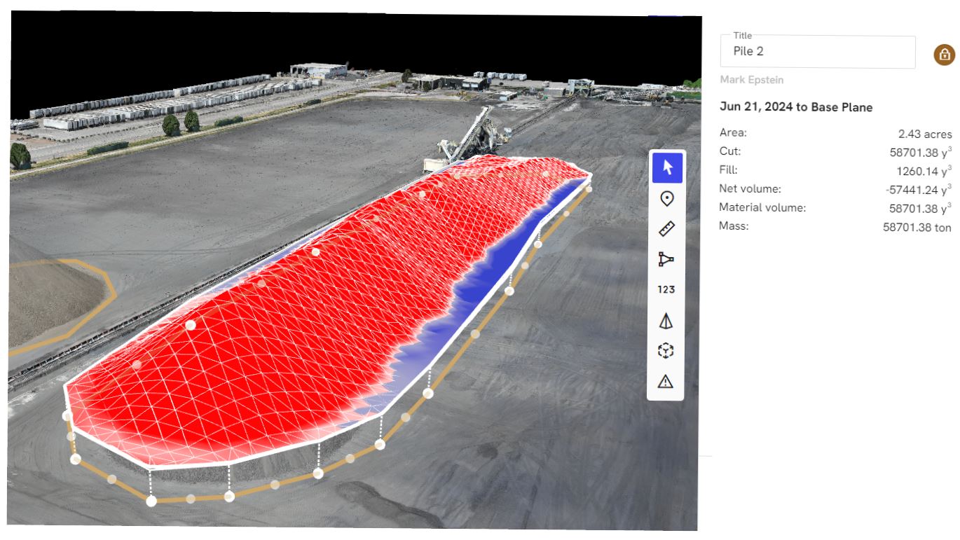
Commercial Roofing Applications
Large commercial roofs can be difficult and time-consuming to inspect using conventional methods alone.
Drone-mounted infrared cameras allow operators to capture thermal imagery across extensive roof surfaces from elevated positions.
Under suitable environmental conditions, thermal patterns may reveal anomalies associated with moisture accumulation in certain types of roofing assemblies.
These findings can help maintenance professionals identify areas where additional examination may be warranted.
However, infrared imagery cannot independently confirm that moisture is present. Different roofing materials, solar exposure, insulation conditions, weather, and other environmental factors may produce similar thermal patterns.
Suspected problems should be evaluated by qualified roofing professionals using appropriate confirmation methods.
Building Envelope and Facility Documentation
Infrared drone services may also assist in assessing selected exterior building envelope conditions.
Thermal imagery can reveal apparent temperature differences around walls, roof surfaces, mechanical penetrations, and other building components.
When properly documented, these observations can help facilities teams identify areas for further investigation and maintain a visual record of conditions.
Repeat thermal imaging may also support long-term maintenance monitoring when inspections use suitable and comparable procedures.
Orthomosaic Drone Mapping for Construction and Property Management


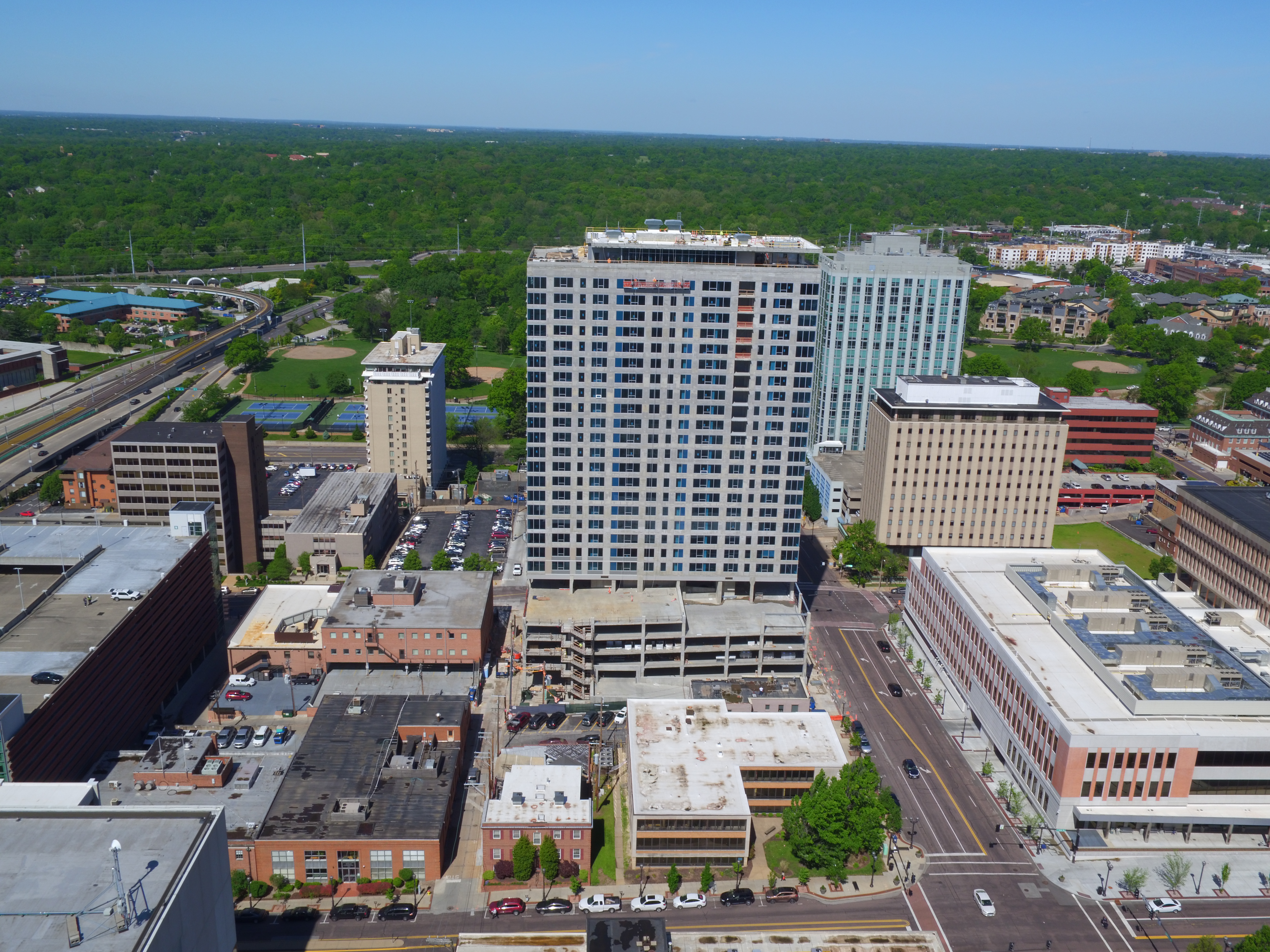


A conventional aerial photograph provides an elevated view of a location.
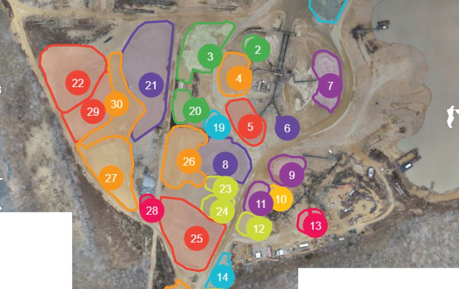
An orthomosaic provides something different: a geometrically corrected composite image created from numerous overlapping aerial photographs.
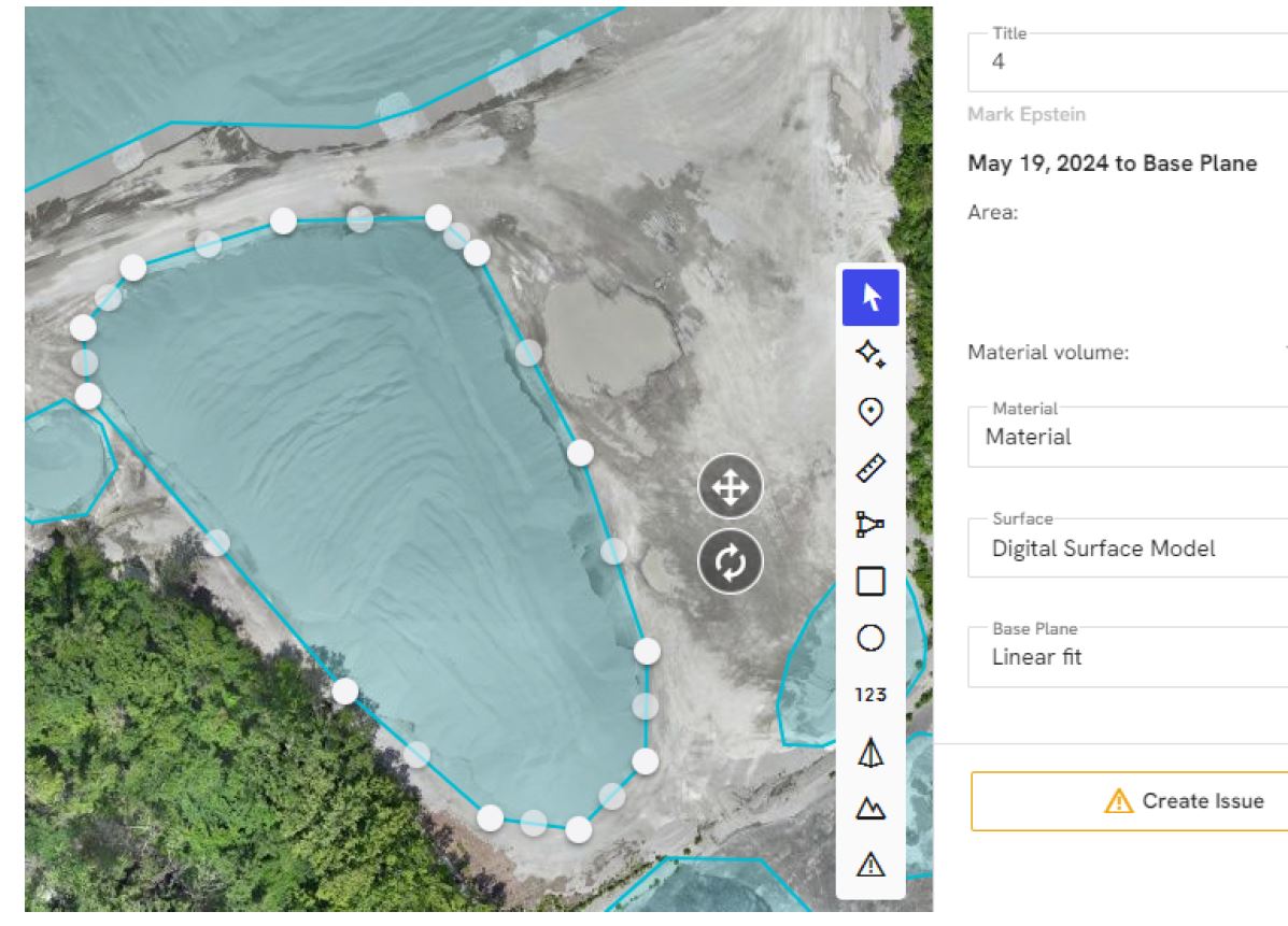
Specialized photogrammetry software processes these photographs into a continuous, map-like representation of the site.
When appropriately georeferenced and quality-controlled, orthomosaics can provide useful spatial information for construction, engineering, and property documentation.

